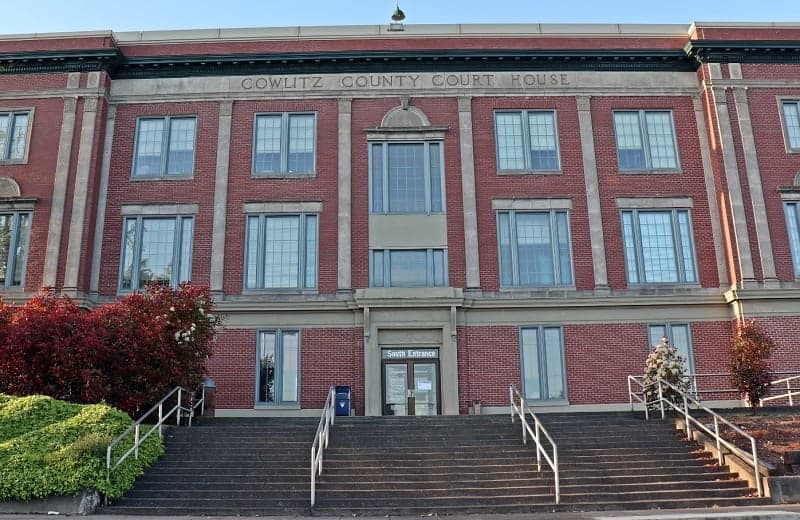
Photo: Wikipedia
Strategic Assessment of Cowlitz County
Meaningful friction. Expect exposure to either population pressure, blast zones, or natural disaster risk. Consider buying a retreat property.
What does the Strategic Assessment tell us?
Our Strategic Assessment grades tactical survivability of an area. Major population centers, military targets, fallout zones, natural disasters, and border exposure all drive risk — lower exposure means a more defensible position in a crisis.
This is heavily inspired by Joel Skousen's Strategic Relocation book. Highly recommended you checkout the book ($)What does this tell us?
Our Strategic Assessment grades tactical survivability of an area. Major population centers, military targets, fallout zones, natural disasters, and border exposure all drive risk — lower exposure means a more defensible position in a crisis.
This is heavily inspired by Joel Skousen's Strategic Relocation book. Highly recommended you checkout the book ($)Strategic Pillars

Key Distances
Strategic Assessment Analysis
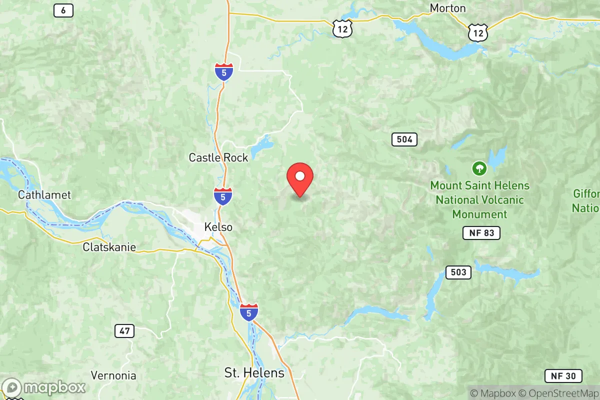
Cowlitz County, Washington, offers a compelling strategic profile for the relocator who prioritizes resilience, natural resource access, and a buffer from major metropolitan chokepoints. Positioned roughly halfway between the Portland-Vancouver metroplex and the state capital of Olympia, the county provides a rural-to-suburban gradient anchored by the city of Longview and its twin, Kelso, straddling the Cowlitz River near its confluence with the Columbia River. This corridor serves as a critical transportation spine—Interstate 5, the BNSF railway, and the deep-draft Columbia River navigation channel all pass through—but the population centers themselves (roughly 40,000 in Longview/Kelso combined and about 108,000 countywide) remain compact enough to avoid the density-driven collapse risks of larger cities. The strategic advantage here is access without being overwhelmed: you get the supply chains of Portland (80 miles south) and Seattle (120 miles north) within a day’s drive, yet you’re far enough from any single point of failure that a localized event—whether a Cascadia Subduction Zone earthquake or a civil disturbance in Portland—doesn’t automatically cascade into a county-wide crisis.
Geographic position, natural advantages, and defensible terrain for preparedness-minded relocators
The county’s geography is defined by the Willapa Hills to the west and the Cascade foothills to the east, creating a natural bowl with the Columbia River as its southern boundary. This terrain offers real defensibility: the major approaches are limited to I-5 from the north and south, Highway 4 along the Columbia, and a handful of secondary two-lane roads (Highways 432, 411, and 503) that can be monitored or, in extreme scenarios, blocked. The Cowlitz River provides abundant fresh water, and the surrounding timberlands—much of it working forest managed by Weyerhaeuser and other private owners—mean firewood and building materials are locally available. The county’s elevation ranges from sea level at the Columbia up to about 3,000 feet in the hills, giving relocators options to avoid floodplains while staying low enough to dodge heavy Cascade snow. The Mount St. Helens National Volcanic Monument sits just 30 miles east of Kelso, and while that’s a hazard, it’s also a reminder that the area’s geological activity translates into rich soils and abundant groundwater recharge. For someone prioritizing self-sufficiency, few places in the Pacific Northwest offer this combination of water, timber, and restricted access points within a reasonable commute to employment centers.
Risks, exposures, and proximity to man-made and natural fallout-relevant landmarks
Cowlitz County is not immune to serious risks, and the relocator must weigh these honestly. The most obvious hazard is the Cascadia Subduction Zone—a magnitude 9.0 earthquake and subsequent tsunami could devastate the county’s riverfront areas, though the tsunami threat is limited to the Columbia River mouth at Cathlamet in Wahkiakum County to the west, with Longview experiencing severe liquefaction potential along the Cowlitz and Columbia floodplains. The Port of Longview is a strategic target in any conflict scenario: it’s one of the largest deep-water ports on the West Coast, handling grain, coal, and containers, and its proximity to I-5 makes it a critical chokepoint. Additionally, the Kaiser Aluminum plant in Spokane isn’t here, but the Northwest Alloys magnesium facility in nearby Northport isn’t either—what Cowlitz does have is the Lower Columbia College area in Longview and the Tiberon resort at Mount St. Helens, but the real concern is the concentration of transportation infrastructure. If a major EMP or cybersecurity attack took down the ports of Portland or Seattle, Longview becomes a relief valve—and therefore a target. The county is also downwind of Hanford Nuclear Reservation (about 180 miles east-southeast) in a prevailing westerly flow, meaning a catastrophe at Hanford would primarily affect Eastern Washington, not here. However, the presence of Oregon’s Trojan Nuclear Plant (decommissioned but stored on-site) near Rainier, Oregon, is just 15 miles south of Kelso across the river—a low-risk but non-zero factor. For fallout from a dirty bomb or nuclear strike on Portland (80 miles south), prevailing southwest winds would carry contamination toward the Gifford Pinchot National Forest to the east, sparing most of Cowlitz County’s populated western half.
Practical resilience for a relocator: food, water, energy, and defensibility in Cowlitz County
For food security, the county’s agricultural output is modest but meaningful: the Cowiche Canyon area near Toutle and the bottomlands around Castle Rock support small-scale vegetable farming, and the region’s extensive salmon runs (Cowlitz River, Kalama River, Lewis River) provide a protein source that can be legally harvested with a Washington state fishing license. The Cowlitz Indian Tribe operates the Cowlitz Casino and manages some tribal fisheries, but for the individual relocator, the real advantage is the proximity to Vancouver’s wholesale produce markets (45 minutes south) and the ability to grow cool-weather crops like potatoes, kale, and apples in the long growing season (zone 8b). Water is abundant: the Cowlitz River flows at an average of 7,000 cubic feet per second, and shallow wells in the valley bottom are easy to dig, though floodplain property owners should test for agricultural runoff. The county has not experienced significant drought impacts compared to California or the interior West, and the Cowlitz County Water District maintains redundant intake structures. For energy, the county is served by the Bonneville Power Administration grid, which relies on Columbia River hydroelectric dams—vulnerable to a long-term outage but generally stable. Wood heat is the most resilient backup option, given the timber industry presence, and the county allows outdoor wood boilers in rural areas. Defensibility is decent but not fortress-level: the population is scattered enough that rural properties near Ryderwood or Yale, Washington offer 5- to 20-acre parcels with forest buffers, but the I-5 corridor itself is a vulnerability—any large-scale evacuation or military movement would clog it within hours. For the relocator willing to live 15–25 minutes off the interstate (e.g., along the Lewis River or in the Toutle River Valley), the defensibility profile improves markedly.
The overall strategic picture of Cowlitz County for the preparedness-minded relocator is one of calculated trade-offs rather than pure sanctuary. You get reliable water, timber, moderate population density, and a climate that supports year-round food production—all within a reasonable distance of Portland’s medical and logistical resources. The downsides are real: the Cascadia earthquake threat is existential, the transportation corridor is a chokepoint, and the county’s positioning on I-5 means it’s not a remote retreat in the traditional sense. But for someone seeking a base that can flex between suburban comfort and rural self-reliance—and who is willing to invest in seismic retrofitting, a backup well pump, and a wood stove—Cowlitz County offers a pragmatic middle ground. It’s not the Pacific Northwest’s best-kept secret, but it is one of its most strategically viable options for a relocator who wants resilience without abandoning all access to the modern economy.

* Values derived from national, state, county, city and local statistics and may differ in a specific area. Last updated: 2026-06-29T05:20:43.000Z
Narrative content on this page is AI-generated and may contain mistakes. Verify any details that matter before acting on them.
ReloMaps may earn a commission from affiliate links at no extra cost to you.

