
Strategic Assessment of Salem City County
Workable tactical position. Some exposure to population density or targets, but generally defensible in a crisis.
What does the Strategic Assessment tell us?
Our Strategic Assessment grades tactical survivability of an area. Major population centers, military targets, fallout zones, natural disasters, and border exposure all drive risk — lower exposure means a more defensible position in a crisis.
This is heavily inspired by Joel Skousen's Strategic Relocation book. Highly recommended you checkout the book ($)What does this tell us?
Our Strategic Assessment grades tactical survivability of an area. Major population centers, military targets, fallout zones, natural disasters, and border exposure all drive risk — lower exposure means a more defensible position in a crisis.
This is heavily inspired by Joel Skousen's Strategic Relocation book. Highly recommended you checkout the book ($)Strategic Pillars

Key Distances
Strategic Assessment Analysis
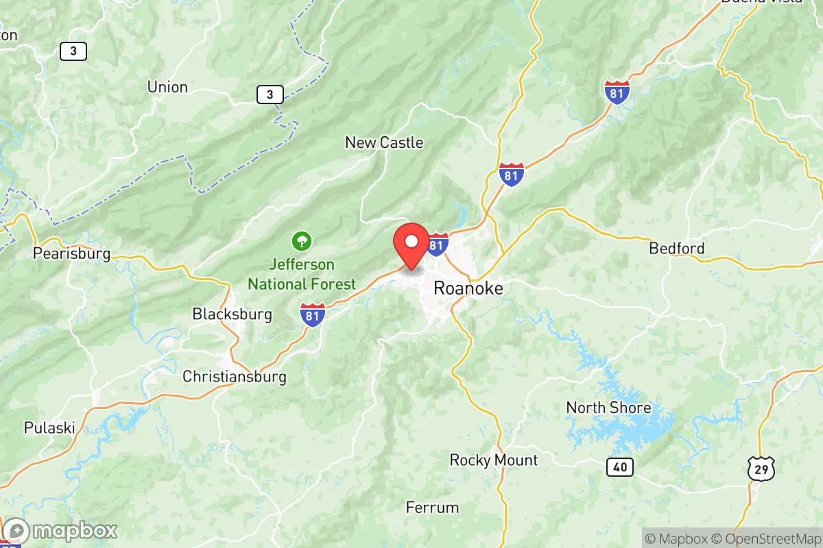
Salem City County, Virginia, occupies a strategic position in the Roanoke Valley that offers a blend of moderate isolation and practical access—a balance that appeals to relocation-minded readers focused on resilience and self-sufficiency. Tucked between the Blue Ridge Mountains to the east and the Allegheny Mountains to the west, the city sits roughly 50 miles north of the North Carolina border and about 180 miles southwest of Washington, D.C. This location provides a buffer from the densest population corridors of the Mid-Atlantic while still keeping major supply routes and medical centers within a reasonable drive. For a relocator weighing disaster readiness, Salem’s geography, infrastructure, and risk profile present a mixed but generally favorable picture—especially when compared to more exposed areas like Northern Virginia or the Hampton Roads coastline.
Geographic position and natural advantages for long-term stability
Salem’s setting in the Roanoke Valley gives it several natural advantages that support long-term stability. The surrounding mountains act as a partial shield against extreme weather patterns, reducing the likelihood of direct hurricane impacts that plague coastal Virginia. The city itself sits at an elevation of roughly 1,100 feet, which keeps it above the flood-prone lowlands of the Roanoke River while still benefiting from the valley’s fertile soils. The nearby Jefferson National Forest and George Washington National Forest provide a substantial natural buffer—over 1.8 million acres of public land that can serve as a resource for timber, game, and water catchment in a prolonged emergency. The Roanoke River, which flows through the southern edge of the city, offers a reliable surface water source, though it is not large enough to pose a significant flood risk to most developed areas. For a relocator, this means a lower risk of catastrophic flooding compared to cities like Richmond or Norfolk, and a higher likelihood of maintaining access to natural resources during grid-down scenarios.
Risks, exposures, and proximity to fallout-relevant landmarks
While Salem’s relative isolation is a strength, it is not immune to risks tied to regional infrastructure. The most significant exposure comes from Interstate 81, which runs directly through the city and serves as a major freight corridor for the eastern United States. This highway carries a high volume of hazardous materials—including fuel, chemicals, and industrial goods—between the Northeast and the Southeast. A major accident or intentional disruption on I-81 could create localized contamination or supply chain bottlenecks. Additionally, Salem is about 45 miles from the Radford Army Ammunition Plant in Radford, Virginia, a facility that produces propellants and explosives for the U.S. military. While not a nuclear target, the plant’s industrial processes carry inherent risks of explosion or chemical release. On the nuclear front, Salem is roughly 100 miles from the North Anna Nuclear Generating Station near Mineral, Virginia—a distance that places it outside the most severe fallout zones but within range of potential airborne contamination under adverse wind conditions. The city is also about 120 miles from the Washington, D.C. metro area, a high-priority target for any geopolitical adversary. While Salem is far enough to avoid direct blast effects, it could see secondary effects like refugee flows or supply disruptions in a national crisis. For a relocator, the key takeaway is that Salem is not a zero-risk location, but its risks are primarily tied to transportation corridors and regional industrial sites rather than direct strategic targeting.
Practical resilience for a relocator: food, water, energy, and defensibility
For someone serious about self-sufficiency, Salem offers a workable foundation but requires deliberate preparation. The city’s water supply comes from the Roanoke River and Carvin Cove Reservoir, both managed by the Western Virginia Water Authority. In a prolonged power outage, municipal water treatment could fail, but the presence of multiple surface water sources within a short drive—including the river and several smaller creeks—gives residents options for manual collection and filtration. The region’s average annual rainfall of about 42 inches supports rain catchment systems, and the surrounding national forests provide ample opportunities for foraging and hunting. On the energy side, Salem is served by Appalachian Power, a subsidiary of American Electric Power, which draws from a mix of coal, natural gas, and hydroelectric sources. The nearby Smith Mountain Lake Hydroelectric Plant (about 30 miles southeast) adds a layer of grid resilience, though it is not a standalone backup for the city. For off-grid energy, the valley’s moderate sun exposure (roughly 200 sunny days per year) makes solar panels viable, though tree cover in the mountains can reduce efficiency. Defensibility is a mixed picture: Salem’s layout as a compact city of roughly 26,000 people means that a determined group could secure a neighborhood or rural property on the outskirts, but the presence of I-81 and multiple secondary roads makes the area less defensible than a more remote mountain hollow. The best strategy for a relocator is to target properties on the western or northern edges of the city, closer to the national forest boundaries, where road access is limited and natural terrain provides cover.
Overall, Salem City County presents a balanced strategic picture for the resilience-minded relocator. It avoids the worst exposures of coastal Virginia and the D.C. suburbs while retaining access to critical infrastructure and natural resources. The primary trade-offs are the proximity to I-81’s hazardous material traffic and the moderate distance to the Radford Army Ammunition Plant, both of which require situational awareness rather than outright avoidance. For a single individual or family willing to invest in water storage, solar capacity, and a defensible property on the city’s fringe, Salem offers a livable base with a lower risk profile than many alternatives in the Mid-Atlantic. It is not a survivalist’s paradise, but it is a practical, data-grounded choice for someone who wants to be prepared without moving to the remote wilderness.

* Values derived from national, state, county, city and local statistics and may differ in a specific area. Last updated: 2026-06-16T03:42:31.000Z
Narrative content on this page is AI-generated and may contain mistakes. Verify any details that matter before acting on them.
ReloMaps may earn a commission from affiliate links at no extra cost to you.

