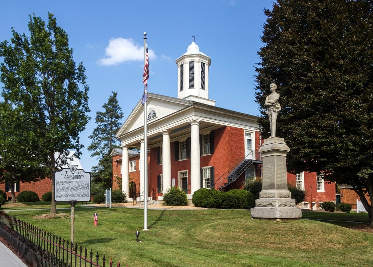
Photo: Wikipedia
Strategic Assessment of Clarke County
Workable tactical position. Some exposure to population density or targets, but generally defensible in a crisis.
What does the Strategic Assessment tell us?
Our Strategic Assessment grades tactical survivability of an area. Major population centers, military targets, fallout zones, natural disasters, and border exposure all drive risk — lower exposure means a more defensible position in a crisis.
This is heavily inspired by Joel Skousen's Strategic Relocation book. Highly recommended you checkout the book ($)What does this tell us?
Our Strategic Assessment grades tactical survivability of an area. Major population centers, military targets, fallout zones, natural disasters, and border exposure all drive risk — lower exposure means a more defensible position in a crisis.
This is heavily inspired by Joel Skousen's Strategic Relocation book. Highly recommended you checkout the book ($)Strategic Pillars

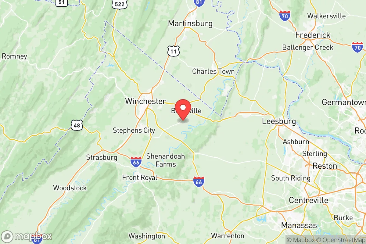
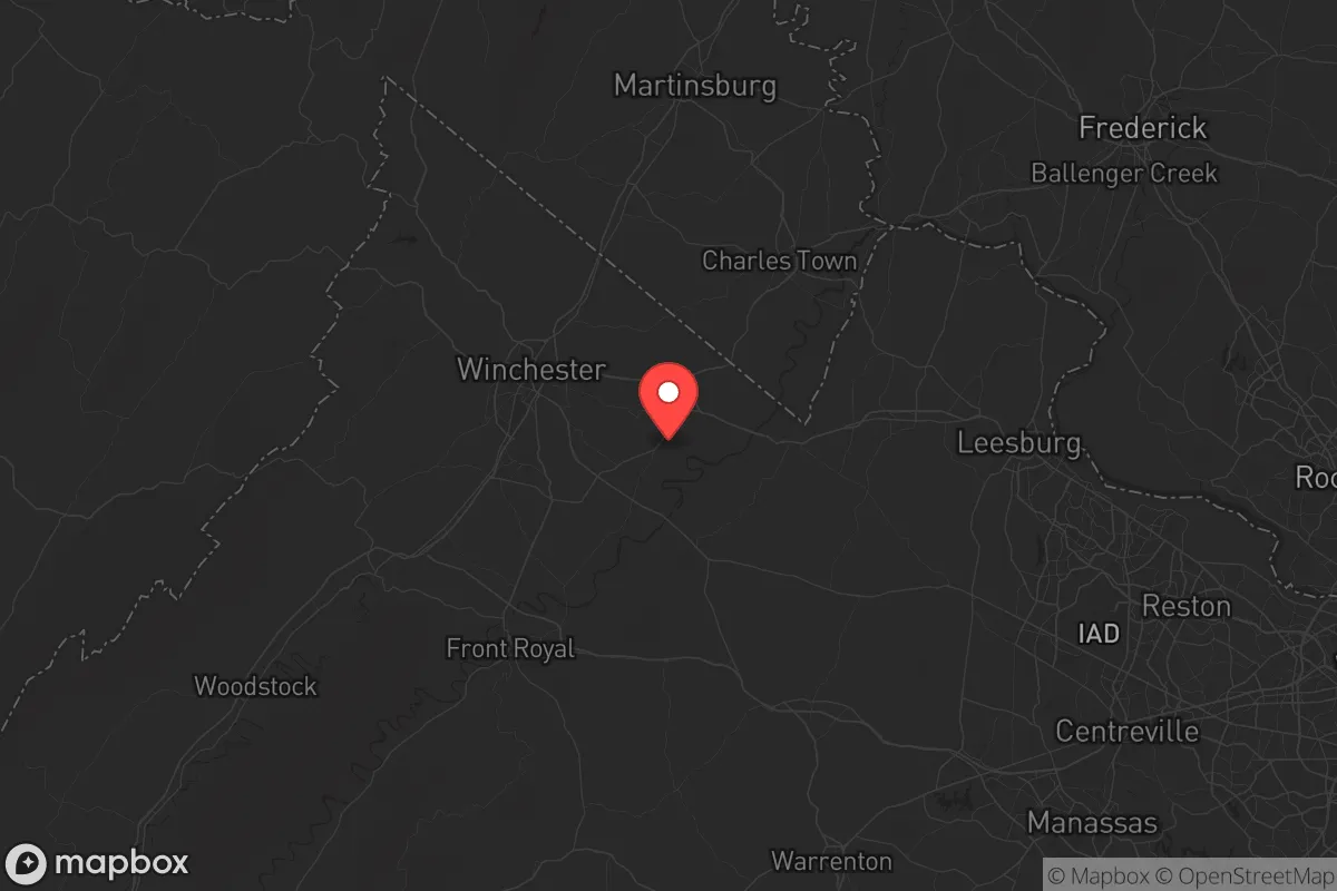
Key Distances
Strategic Assessment Analysis
Clarke County, Virginia, offers a compelling strategic profile for relocation-minded individuals and families who prioritize resilience, self-sufficiency, and a buffer from major metropolitan vulnerabilities. Nestled in the northern Shenandoah Valley, this rural county of roughly 15,000 residents combines the defensive advantages of the Blue Ridge Mountains with the practical benefits of proximity to Winchester and a manageable 70-mile distance from Washington, D.C. For those assessing long-term preparedness, Clarke County presents a balanced mix of geographic insulation and access to critical resources, though its position near the I-81 corridor and regional infrastructure demands careful evaluation of both natural and man-made risks.
Geographic position and natural advantages for long-term security
Clarke County’s location is its primary strategic asset. The county sits at the eastern edge of the Shenandoah Valley, with the Blue Ridge Mountains forming a natural barrier to the east and the Shenandoah River cutting through its western half. This topography provides meaningful defensibility: the mountains create a physical buffer against weather systems and offer elevated terrain for observation, while the river valley supplies fertile soil and water access. The county seat, Berryville, anchors a network of small communities—including Boyce, Millwood, and the historic village of White Post—that are spaced apart enough to reduce population density risks. The area’s agricultural base is substantial, with over 40% of the county’s land in farmland, much of it dedicated to livestock, hay, and grain. This local food production capacity is a genuine resilience advantage, as it reduces dependence on long supply chains. The climate is moderate, with four distinct seasons and average annual rainfall around 40 inches, supporting reliable groundwater recharge and crop viability without the extremes of coastal or desert regions.
Risks, exposures, and proximity to fallout-relevant landmarks
No strategic assessment is complete without acknowledging the liabilities. Clarke County’s most significant exposure is its position relative to the Washington, D.C. metropolitan area, roughly 70 miles southeast. While this distance provides a meaningful buffer, the county lies within the broader fallout and secondary effects zone of a major event targeting the capital. The I-81 corridor, which runs just west of the county line, is a high-volume transportation artery for commercial freight and military logistics, making it a potential secondary target or chokepoint during a crisis. Additionally, the county is within 30 miles of the Blue Ridge Arsenal, a U.S. Army ammunition storage facility near Front Royal, and roughly 50 miles from the Fort Belvoir and Quantico Marine Corps Base complexes. These military installations are strategic assets but also potential targets. On the natural hazard side, the region faces moderate risks: the Shenandoah River has a history of flooding in low-lying areas, particularly near Berryville and along the river’s floodplain. Earthquake risk is low, but the area sits near the Central Virginia Seismic Zone, which produced the 2011 Mineral earthquake felt across the region. Wildfire risk is elevated in the mountain foothills during dry summers, though the county’s fire departments maintain mutual aid agreements with surrounding jurisdictions.
Practical resilience for a relocator: food, water, energy, and defensibility
For a family or individual serious about self-sufficiency, Clarke County offers a workable foundation. Water availability is a standout strength: the Shenandoah River and its tributaries, including Spout Run and Opequon Creek, provide surface water, while the county’s groundwater aquifers are generally productive for private wells. Most rural properties rely on well water, which is a resilience advantage over municipal systems. Food production is equally promising. The county’s agricultural heritage means local farmers’ markets, CSAs, and farm stands are common; Berryville’s weekly market operates from May through October. For those with land, the growing season runs roughly 170 days, suitable for vegetables, fruit trees, and small livestock. The county’s zoning is generally permissive for hobby farming and homesteading, though building permits and well-drilling regulations require attention. Energy resilience is a mixed picture. The grid is served by Rappahannock Electric Cooperative and Shenandoah Valley Electric Cooperative, both of which have average reliability compared to rural co-ops nationally. Outages during storms are common but typically short. Solar potential is good, with the region averaging 4.5 peak sun hours per day, and the county has no restrictive HOA covenants that would prohibit rooftop panels on most properties. Backup generators are a practical investment here. Defensibility is moderate. The terrain offers natural chokepoints along the mountain gaps and river crossings, but the county’s road network—primarily two-lane highways like Route 7 and Route 340—can become congested during evacuation events. The population density of roughly 60 people per square mile is low enough to avoid the chaos of urban flight but high enough to provide a community support network. The county’s sheriff’s office and volunteer fire departments are well-regarded, but response times in remote areas can exceed 20 minutes.
The overall strategic picture for Clarke County is one of balanced opportunity with clear-eyed trade-offs. It offers genuine advantages in water access, local food production, and geographic insulation from the most immediate urban threats, while its proximity to Washington, D.C. and military infrastructure introduces risks that a prepared relocator must account for. The county is not a remote bunker—it is a working agricultural community with schools, churches, and a functioning local economy—but for those willing to invest in well water, solar power, and food storage, it provides a viable base for long-term resilience. The key is to treat the area as a strategic outpost rather than a retreat: understand the evacuation routes, build relationships with neighbors, and maintain situational awareness of regional events. For the conservative-leaning family or individual who values preparedness without isolation, Clarke County deserves serious consideration.

* Values derived from national, state, county, city and local statistics and may differ in a specific area. Last updated: 2026-11-15T14:32:31.000Z
Narrative content on this page is AI-generated and may contain mistakes. Verify any details that matter before acting on them.
ReloMaps may earn a commission from affiliate links at no extra cost to you.

