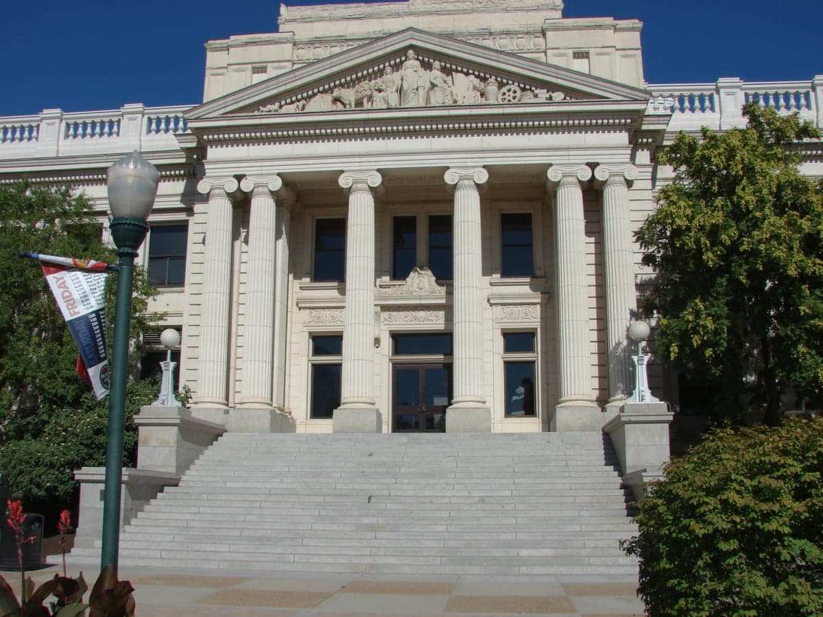
Photo: Wikipedia
Strategic Assessment of Utah County
Workable tactical position. Some exposure to population density or targets, but generally defensible in a crisis.
What does the Strategic Assessment tell us?
Our Strategic Assessment grades tactical survivability of an area. Major population centers, military targets, fallout zones, natural disasters, and border exposure all drive risk — lower exposure means a more defensible position in a crisis.
This is heavily inspired by Joel Skousen's Strategic Relocation book. Highly recommended you checkout the book ($)What does this tell us?
Our Strategic Assessment grades tactical survivability of an area. Major population centers, military targets, fallout zones, natural disasters, and border exposure all drive risk — lower exposure means a more defensible position in a crisis.
This is heavily inspired by Joel Skousen's Strategic Relocation book. Highly recommended you checkout the book ($)Strategic Pillars

Key Distances
Strategic Assessment Analysis
Utah County offers a compelling mix of geographic isolation and practical self-sufficiency that appeals to relocation-minded readers prioritizing resilience and preparedness. Anchored by Provo and stretching from the shores of Utah Lake to the high peaks of the Wasatch Range, the county combines defensible terrain with a strong local food and water infrastructure. For a family or individual thinking seriously about disaster readiness, Utah County’s position — far from major coastal targets but close enough to essential resources — makes it one of the more strategically sound options in the Intermountain West.
Geographic position and natural advantages for long-term security
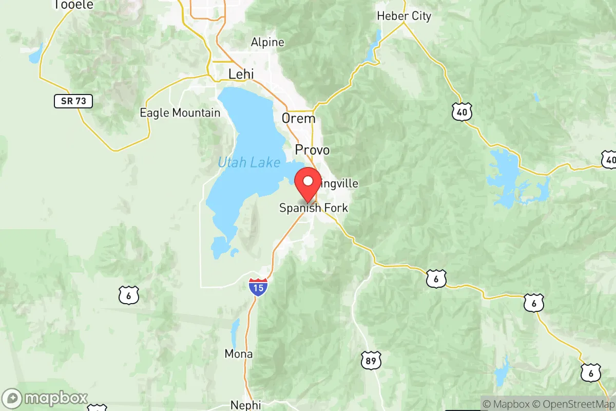
Utah County sits in a natural bowl formed by the Wasatch Mountains to the east and the Lake Mountains to the west, with Utah Lake at its center. This topography provides a degree of natural defensibility: the mountain passes — particularly Provo Canyon and Spanish Fork Canyon — act as chokepoints that could be monitored or controlled if needed. The county’s elevation, ranging from roughly 4,500 feet at the lake shore to over 11,000 feet in the high Uintas, means a cooler, drier climate than much of the Southwest, reducing risks tied to extreme heat and drought-driven wildfires that plague lower-elevation areas. The nearby Wasatch Front is a major population corridor, but Utah County itself remains less dense than Salt Lake County to the north, with towns like Payson, Santaquin, and Eagle Mountain offering rural buffers. The county’s position also places it within a reasonable drive of multiple climate zones — high desert, alpine forest, and Great Basin — which supports diversified local agriculture and water sourcing.
Risks, exposures, and proximity to fallout-relevant landmarks
No resilience assessment is honest without acknowledging vulnerabilities. Utah County’s biggest exposure is its proximity to the Wasatch Fault, which runs directly through the western edge of the valley. A major seismic event — the kind geologists say happens here every few centuries — would be the primary natural risk, potentially disrupting infrastructure, water lines, and roads through Provo Canyon. That said, modern building codes in cities like Lehi and American Fork are stricter than in older parts of the state, and the county’s newer housing stock generally fares better in modeling scenarios. On the man-made risk side, Utah County is not near any major nuclear power plants, large petrochemical refineries, or strategic military targets like Hill Air Force Base (which is in Davis County, about 40 miles north). The nearest significant fallout-relevant landmark is the Tooele Army Depot, roughly 50 miles west across the Oquirrh Mountains — a chemical weapons storage and demilitarization site that, while not a high-yield target, is worth noting for its hazardous material inventory. The county’s distance from Salt Lake City’s urban core (about 45 miles from Provo to downtown SLC) reduces exposure to a ground-zero event in the capital, though prevailing winds from the west could carry fallout from a Salt Lake Valley incident into southern Utah County. Overall, the risk profile is moderate — lower than coastal metros or cities near refinery corridors, but not zero.
Practical resilience for a relocator: food, water, energy, and defensibility
For someone serious about self-sufficiency, Utah County has structural advantages that are hard to find elsewhere in the West. Water is the most critical: the county sits atop the Jordan Valley aquifer and draws from the Provo River and Utah Lake, both of which are managed by the Central Utah Project — a federal water diversion system that gives the region more reliable allocations than most of the arid Southwest. Deer Creek Reservoir and Strawberry Reservoir in the nearby Uintas provide additional storage. Agricultural land is still plentiful in the southern half of the county, particularly around Elberta and Goshen, where small farms produce hay, alfalfa, and livestock. The local food system is bolstered by a strong network of LDS Church-owned canneries and food storage facilities — a cultural infrastructure that means many neighbors already practice long-term food storage as a norm. Energy is less of a concern: Rocky Mountain Power’s grid is fed by a mix of coal, natural gas, and hydro from the Colorado River system, and the county’s solar potential is excellent, with over 220 sunny days per year. For off-grid setups, the mountain valleys east of Springville and Mapleton offer defensible building sites with spring access, though land prices have risen sharply since 2020. Defensibility is aided by the county’s layout: the Wasatch Range forms a natural eastern wall, and the lake and wetlands to the west create a buffer. The main vulnerability is the I-15 corridor, which funnels traffic and potential unrest from Salt Lake County southward — a relocator would want to situate east of the interstate or in a smaller satellite town to maintain separation.
The overall strategic picture for Utah County is one of balanced resilience — not a bunker, but a well-positioned base camp. It lacks the extreme isolation of rural Nevada or northern Idaho, but it compensates with superior water access, a functional local economy, and a cultural baseline of preparedness that most American counties simply do not have. For a family or individual willing to invest in a home east of I-15, store supplies, and build community ties, Utah County offers a realistic middle ground: close enough to urban resources to be practical, far enough from major targets to be safe, and grounded in a geography that has supported human habitation for centuries. The risks are real — earthquake, drought cycles, and the slow creep of urbanization — but they are manageable with planning. In a world where resilience increasingly means choosing the right zip code, Utah County earns a solid B-plus, with upside for those who pick their specific town carefully.

* Values derived from national, state, county, city and local statistics and may differ in a specific area. Last updated: 2026-06-15T20:53:07.000Z
Narrative content on this page is AI-generated and may contain mistakes. Verify any details that matter before acting on them.
ReloMaps may earn a commission from affiliate links at no extra cost to you.

