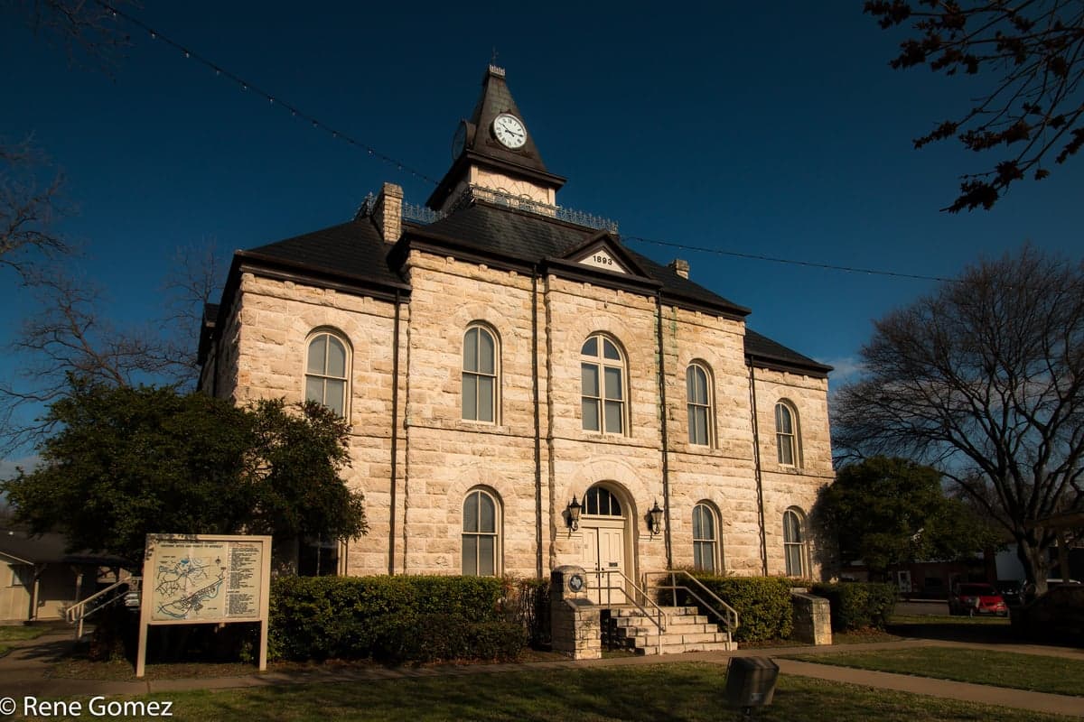
Photo: Wikipedia
Strategic Assessment of Somervell County
Workable tactical position. Some exposure to population density or targets, but generally defensible in a crisis.
What does the Strategic Assessment tell us?
Our Strategic Assessment grades tactical survivability of an area. Major population centers, military targets, fallout zones, natural disasters, and border exposure all drive risk — lower exposure means a more defensible position in a crisis.
This is heavily inspired by Joel Skousen's Strategic Relocation book. Highly recommended you checkout the book ($)What does this tell us?
Our Strategic Assessment grades tactical survivability of an area. Major population centers, military targets, fallout zones, natural disasters, and border exposure all drive risk — lower exposure means a more defensible position in a crisis.
This is heavily inspired by Joel Skousen's Strategic Relocation book. Highly recommended you checkout the book ($)Strategic Pillars

Key Distances
Strategic Assessment Analysis
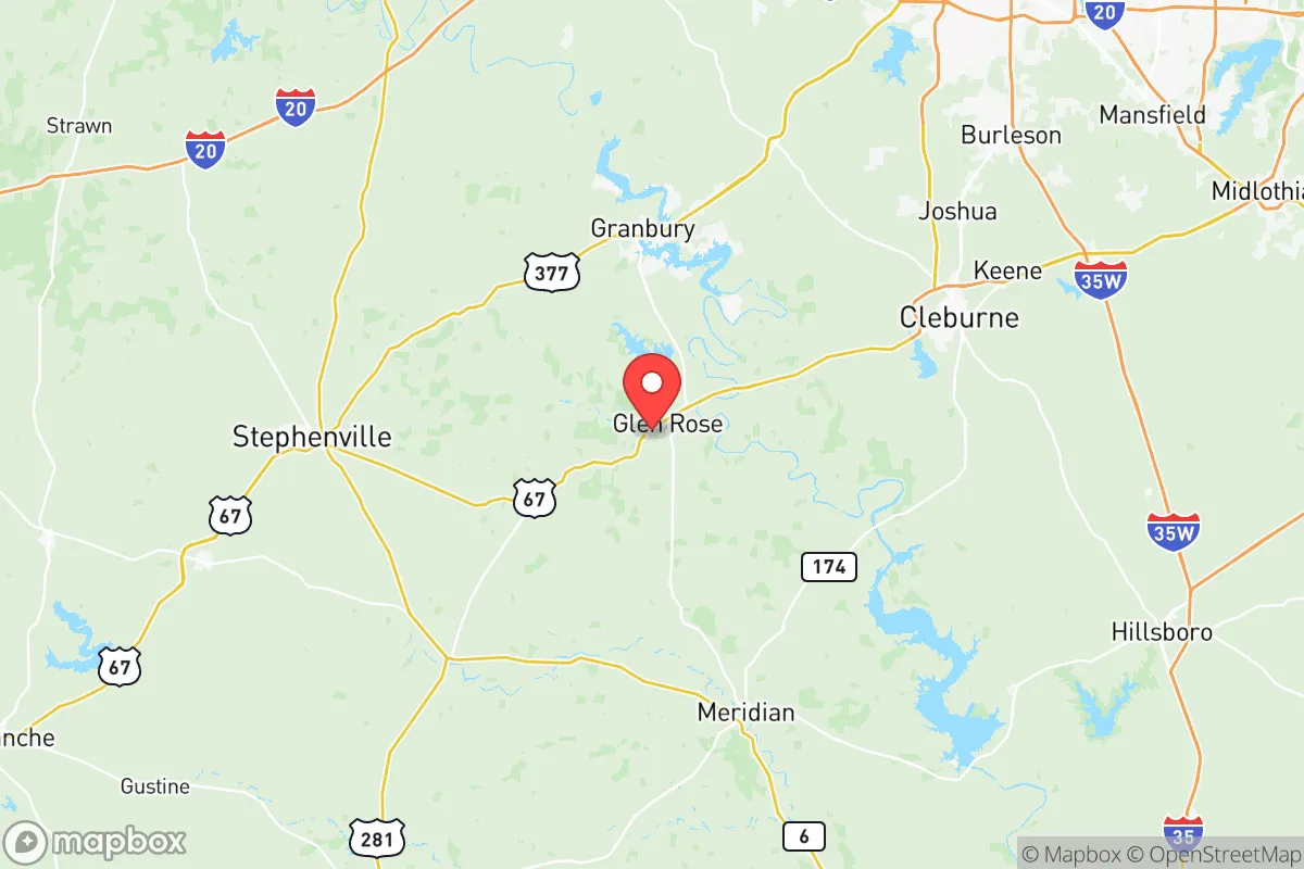
Somervell County, anchored by the town of Glen Rose, offers a compelling strategic profile for relocators prioritizing disaster readiness and self-sufficiency, largely due to its position outside the immediate blast and fallout zones of Texas's major metropolitan and industrial targets. Located roughly 60 miles southwest of Fort Worth and 90 miles south of the Dallas-Fort Worth metroplex, the county sits far enough from these high-density population centers to avoid the worst of a potential urban or military strike, yet remains close enough for practical supply runs when conditions are stable. The county's small population—just over 9,000 residents spread across 187 square miles—combined with its rugged, hill-country terrain and limited through-traffic corridors, creates a natural buffer against the chaos that would engulf larger cities in a crisis scenario.
Geographic position and natural advantages for long-term stability
Somervell County's geography is its primary strategic asset. The area sits atop the Edwards Plateau, where the terrain transitions from flat prairies to limestone hills, cedar breaks, and spring-fed river valleys. The Paluxy River and Squaw Creek run through the county, providing reliable surface water sources that are rare in much of arid West Texas. Glen Rose, the county seat, is situated in a valley that offers some natural concealment from long-range observation, while the surrounding hills provide defensible high ground for those living on the outskirts. The county is not located near any major interstate highways—the closest is I-35W, about 25 miles east—which means it avoids the refugee flows and supply chain disruptions that would plague communities directly on those corridors. For a relocator thinking about strategic depth, Somervell County offers a rare combination: it is remote enough to be overlooked by most threat assessments, but not so remote that basic infrastructure collapses. The county's position also places it outside the 50-mile radius of the Comanche Peak Nuclear Power Plant (located in neighboring Hood County), reducing exposure to a potential nuclear accident or sabotage event, while still being close enough to monitor for any plume shifts.
Risk exposure and proximity to fallout-relevant landmarks
While Somervell County avoids the worst-case scenarios tied to major cities, it is not without exposure. The most significant man-made risk comes from its proximity to the Dallas-Fort Worth metroplex, which contains multiple potential targets: DFW International Airport, the Federal Reserve Bank of Dallas, and the large defense contractor presence in Fort Worth (including Lockheed Martin's F-35 plant). A ground burst or high-altitude detonation over DFW would produce fallout that, depending on prevailing winds, could drift into Somervell County within 6-12 hours. The county is also roughly 100 miles from the nuclear reactors at Comanche Peak and 120 miles from the strategic petroleum reserve storage sites near Bryan-College Station. On the natural disaster front, Somervell County sits in Tornado Alley's southern fringe; while not as active as Oklahoma or North Texas, the county has experienced EF-1 and EF-2 tornadoes, most recently in 2022 near the community of Nemo. Flash flooding along the Paluxy River is a recurring hazard, particularly in the low-lying areas around Glen Rose's downtown and the Dinosaur Valley State Park campgrounds. Wildfire risk is moderate but real, especially during drought years when the cedar and juniper stands become tinder-dry. The county's volunteer fire departments are capable but thinly stretched, meaning a major wildfire could overwhelm local response capacity before state resources arrive.
Practical resilience for a relocator: food, water, energy, and defensibility
For a relocator serious about self-sufficiency, Somervell County offers several structural advantages. Water is the most critical resource, and the county is unusually well-endowed for Texas: the Paluxy River, Squaw Creek, and numerous springs (including the famous Big Rocks Park springs) provide year-round surface water, while the underlying Trinity Aquifer offers reliable groundwater at depths of 100-300 feet. Many rural properties already have wells, and new well permits are generally obtainable without the bureaucratic hurdles seen in more populated counties. For food security, the county has a small but active agricultural base—cattle ranching, hay production, and a growing number of small-scale vegetable farms and permaculture operations. The Glen Rose Farmers Market operates seasonally, and several local ranchers offer grass-fed beef and pastured poultry directly to consumers. However, the county is not a major grain or staple crop producer, so long-term food independence would require significant personal gardening or greenhouse investment. Energy resilience is mixed: Oncor Electric Delivery serves the county, and power outages are common during ice storms and summer thunderstorms, but the rural terrain makes solar panel installation viable on most properties, and natural gas service is available in Glen Rose and some subdivisions. For defensibility, the county's low population density and limited road network—primarily US 67, FM 144, and FM 205—create natural chokepoints. The terrain itself, with its steep hills, creek crossings, and dense cedar breaks, makes large-scale movement difficult for anyone unfamiliar with the land. Local law enforcement is limited to the Somervell County Sheriff's Office (about 12 deputies) and the Glen Rose Police Department (about 8 officers), so in a prolonged crisis, community self-defense networks would be essential. The county's strong hunting culture means firearms ownership is widespread, and many residents possess the skills to live off the land.
The overall strategic picture for Somervell County is one of moderate-to-high resilience for a relocator who is prepared, but not for someone expecting to simply show up and be safe. The county's geographic isolation, reliable water sources, and low target profile make it one of the better options in North Texas for those prioritizing disaster readiness. However, the risks are real: fallout from a major strike on DFW, flash flooding, and the inherent limitations of a small, rural county's infrastructure and emergency services. A relocator would be wise to secure a property with a well, install solar capacity, establish relationships with local ranchers and farmers before a crisis hits, and learn the back roads and terrain well enough to navigate without GPS. For the disciplined and self-reliant individual or family, Somervell County offers a defensible, resource-rich base of operations that balances remoteness with accessibility—a rare combination in the increasingly crowded Texas landscape.

* Values derived from national, state, county, city and local statistics and may differ in a specific area. Last updated: 2026-07-12T05:17:04.000Z
Narrative content on this page is AI-generated and may contain mistakes. Verify any details that matter before acting on them.
ReloMaps may earn a commission from affiliate links at no extra cost to you.

