Photo: Wikipedia
Strategic Assessment of Randall County
Workable tactical position. Some exposure to population density or targets, but generally defensible in a crisis.
What does the Strategic Assessment tell us?
Our Strategic Assessment grades tactical survivability of an area. Major population centers, military targets, fallout zones, natural disasters, and border exposure all drive risk — lower exposure means a more defensible position in a crisis.
This is heavily inspired by Joel Skousen's Strategic Relocation book. Highly recommended you checkout the book ($)What does this tell us?
Our Strategic Assessment grades tactical survivability of an area. Major population centers, military targets, fallout zones, natural disasters, and border exposure all drive risk — lower exposure means a more defensible position in a crisis.
This is heavily inspired by Joel Skousen's Strategic Relocation book. Highly recommended you checkout the book ($)Strategic Pillars

Key Distances
Strategic Assessment Analysis
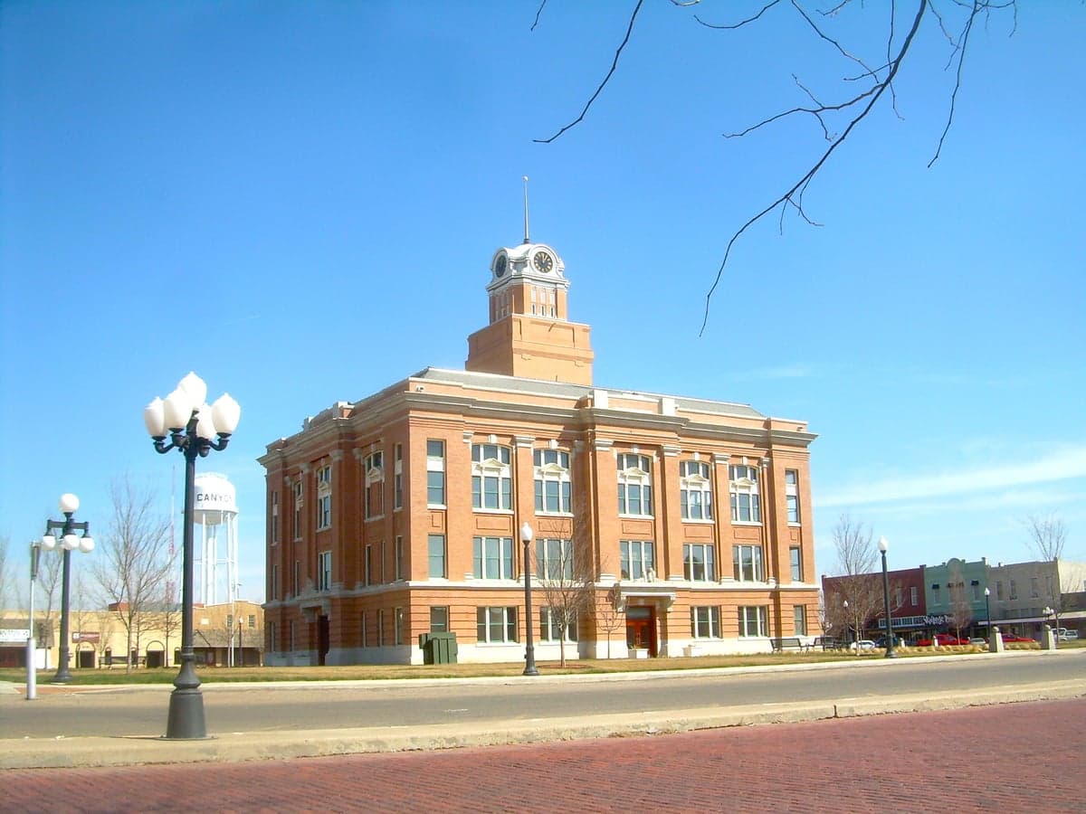
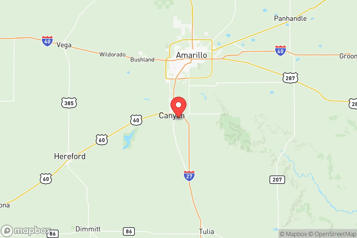
Randall County, Texas, anchored by the city of Canyon and bordering Amarillo to the south, offers a compelling mix of geographic isolation and logistical connectivity that appeals to relocation-minded individuals and families prioritizing resilience and self-sufficiency. Its position on the high, dry Llano Estacado provides natural defensive depth, while its proximity to Interstate 27 and U.S. Highway 60 ensures access to regional supply chains without the congestion and vulnerability of major metropolitan hubs. For a reader weighing disaster readiness, Randall County presents a strategic balance: far enough from coastal hurricane zones and major industrial targets to reduce fallout risk, yet close enough to essential infrastructure to maintain a functional lifestyle.
Geographic position and natural advantages for long-term stability
Randall County sits at an elevation of roughly 3,500 to 3,800 feet above sea level, placing it well above flood-prone river basins and coastal storm surge zones. The region's semi-arid climate, averaging about 20 inches of precipitation annually, reduces the likelihood of catastrophic flooding or prolonged power outages from ice storms that plague the Texas Panhandle's northern neighbors. The Canadian River Valley cuts through the county's northern edge, offering a natural topographic barrier and a source of groundwater recharge. The county's position on the Caprock Escarpment means it is shielded from the worst of tornado alley's activity—while severe weather occurs, the terrain and dryline dynamics here produce fewer direct hits than areas further east like Moore, Oklahoma. The city of Canyon, the county seat, sits on a bluff overlooking the Palo Duro Canyon, the second-largest canyon system in the United States, which provides both a scenic buffer and a potential natural shelter zone. The Buffalo Lake National Wildlife Refuge, located just south of Umbarger, offers a protected wetland area that supports biodiversity and could serve as a long-term water source in a grid-down scenario.
Risk exposure and proximity to fallout-relevant landmarks
Randall County's primary man-made risk stems from its proximity to Pantex, the U.S. nuclear weapons assembly and disassembly plant located just 17 miles northeast of Canyon in adjacent Carson County. While Pantex maintains stringent security and safety protocols, its existence as a high-value strategic target introduces a non-zero risk of military or terrorist action. Additionally, the county lies roughly 60 miles south of the Perryton oil and gas fields and 90 miles east of the Clovis, New Mexico, rail and logistics hub—both potential secondary targets in a conflict scenario. On the natural hazard side, the region experiences occasional drought and wildfire risk, particularly in the grasslands and canyons west of Canyon. The 2011 Texas wildfires burned over 100,000 acres in the Panhandle, though Randall County's urbanized areas around Canyon and the southern edge of Amarillo were largely spared. The county's distance from the Gulf Coast—over 500 miles—means it is immune to hurricane storm surge and the refinery corridor risks of Houston and Corpus Christi. However, the presence of the Amarillo International Airport and the BNSF Railway mainline running through the county could make it a secondary logistics target in a broader conflict. For a relocator, the key takeaway is that Randall County's risk profile is moderate: low for natural disasters, but elevated for man-made threats due to Pantex and regional energy infrastructure.
Practical resilience for a relocator: food, water, energy, and defensibility
Randall County offers strong practical resilience for those serious about self-sufficiency. The Ogallala Aquifer underlies the entire county, providing a deep, reliable groundwater source for wells—though water rights and well depths (typically 200-400 feet) require careful research before purchase. The county's agricultural base is robust: it is a leading producer of corn, wheat, and sorghum, with the Randall County Feed Yard near Canyon being one of the largest cattle feeding operations in the Panhandle. This means local food production is not just possible but already scaled, with farmers' markets in Canyon and Amarillo operating year-round. Energy resilience is equally strong. The county sits within the ERCOT Panhandle region, which has a more stable grid than the rest of Texas due to its connection to the Southwest Power Pool. Natural gas extraction is widespread, and many rural properties already use propane or natural gas for heating and cooking, reducing reliance on the electrical grid. Solar potential is excellent, with over 260 sunny days per year, and wind energy is abundant—the county hosts several wind farms, including the 200-megawatt Canyon Wind Farm. Defensibility is a mixed picture. The open, flat terrain offers long sightlines and limited cover, which can be an advantage for perimeter security but a disadvantage for concealment. The Palo Duro Canyon provides natural defensive positions and remote homesteading opportunities, but access is limited by rugged terrain. The city of Canyon itself has a small-town layout with a historic downtown and residential neighborhoods that are easily securable, while the unincorporated areas south of Lake Tanglewood offer larger lots and greater privacy. For a relocator, the most practical approach is to target properties with existing wells, solar panels, and propane storage, ideally on at least 10 acres to allow for gardening and livestock.
The overall strategic picture for Randall County is one of moderate-to-high resilience with specific trade-offs. Its geographic isolation from coastal and industrial targets is a clear advantage, and its agricultural and water resources provide a solid foundation for long-term self-sufficiency. The proximity to Pantex is the single greatest risk factor, but it is a known, manageable risk that can be mitigated through location choice—properties south of Canyon or near the Deaf Smith County line are further from the plant. The county's infrastructure, including a regional hospital (Northwest Texas Healthcare System in Amarillo) and multiple grocery and hardware stores in Canyon, supports a functional daily life while allowing for a gradual transition to greater self-reliance. For a conservative-leaning family or individual seeking a balance between modern convenience and disaster preparedness, Randall County represents a defensible, resource-rich option that avoids the extremes of both urban vulnerability and remote isolation.

* Values derived from national, state, county, city and local statistics and may differ in a specific area. Last updated: 2026-10-18T00:37:53.000Z
Narrative content on this page is AI-generated and may contain mistakes. Verify any details that matter before acting on them.
ReloMaps may earn a commission from affiliate links at no extra cost to you.

