
Photo: Wikipedia
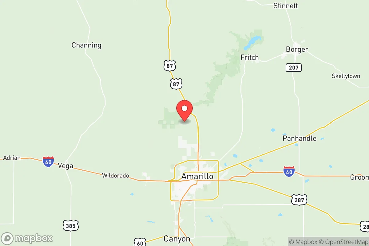
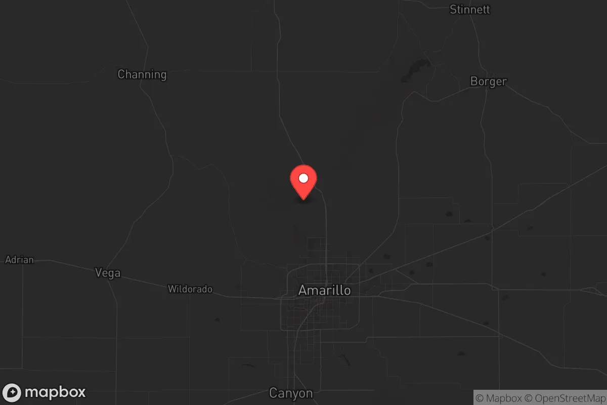
Strategic Assessment of Potter County
Workable tactical position. Some exposure to population density or targets, but generally defensible in a crisis.
What does the Strategic Assessment tell us?
Our Strategic Assessment grades tactical survivability of an area. Major population centers, military targets, fallout zones, natural disasters, and border exposure all drive risk — lower exposure means a more defensible position in a crisis.
This is heavily inspired by Joel Skousen's Strategic Relocation book. Highly recommended you checkout the book ($)What does this tell us?
Our Strategic Assessment grades tactical survivability of an area. Major population centers, military targets, fallout zones, natural disasters, and border exposure all drive risk — lower exposure means a more defensible position in a crisis.
This is heavily inspired by Joel Skousen's Strategic Relocation book. Highly recommended you checkout the book ($)Strategic Pillars

Key Distances
Strategic Assessment Analysis
Potter County, anchored by Amarillo in the Texas Panhandle, offers a strategic resilience profile that stands apart from the state’s more crowded and exposed regions. Its location—roughly 350 miles from Dallas and 280 miles from Denver—places it well outside the immediate fallout zones of major metropolitan targets, while its position along Interstate 40 and the BNSF Railway ensures critical supply chain access without the vulnerability of coastal or border proximity. For a relocator prioritizing self-sufficiency and low population density, this county presents a defensible, resource-rich environment where the risks of civil unrest and mass casualty events are measurably lower than in Texas’s urban corridors.
Geographic position and natural advantages for long-term security
Potter County sits on the High Plains, a region defined by flat, open terrain and a semi-arid climate that limits the risk of hurricane storm surge, flooding, or wildfire spread common in other parts of Texas. The county’s elevation—around 3,600 feet—provides a natural buffer against sea-level rise and offers cooler summers than the Gulf Coast, reducing heat-related infrastructure stress. The Ogallala Aquifer lies beneath much of the county, supplying groundwater that is less susceptible to surface contamination than reservoirs near industrial centers. Amarillo’s Rick Husband Amarillo International Airport and the nearby Amarillo Air Force Base (formerly a Strategic Air Command base, now a Texas Air National Guard facility) provide logistical redundancy without the target density of a major military hub like Fort Hood. The Canadian River Valley to the south offers natural cover and water access, while the vast, sparsely populated ranchlands to the north and west create a buffer zone against rapid population movement from urban collapse. This geography makes Potter County a viable fallback position for those seeking to avoid the fallout risks of Dallas-Fort Worth’s defense industries or Houston’s refinery corridor.
Risks, exposures, and proximity to fallout-relevant landmarks
No location is immune, and Potter County has its own set of strategic liabilities. The Pantex Plant, located just 17 miles northeast of Amarillo in Carson County, is the nation’s primary nuclear weapon assembly and disassembly facility. This is a double-edged sword: while it provides a high-value target in a worst-case scenario, its presence also means the area has robust emergency response infrastructure and a federal security perimeter that deters casual threats. The county’s proximity to the Pantex Plant—a landmark that would be on any adversary’s target list—is the single greatest fallout-relevant risk for a relocator. Additionally, the BNSF rail yard and I-40 corridor make Amarillo a chokepoint for transcontinental freight, which could become a vector for civil unrest if supply chains are disrupted. The county’s population of roughly 120,000 is concentrated in Amarillo, leaving the rural areas sparsely defended. A mass casualty event at the Pantex Plant or a major derailment involving hazardous materials (common on the High Plains rail lines) could contaminate groundwater or air, though prevailing winds generally blow east, away from the county’s residential zones. For a prepper, the key is to locate in the county’s western or southern reaches—near the towns of Bushland or Lake Tanglewood—to maximize distance from these industrial nodes while still accessing Amarillo’s medical and supply resources.
Practical resilience for a relocator: food, water, energy, and defensibility
Potter County excels in the basics of long-term survival. Water is the primary concern, and the Ogallala Aquifer provides a reliable source, though it is a finite resource that is being drawn down faster than it recharges. A relocator should plan for a well depth of 200-400 feet and consider rainwater catchment as a supplement—the county averages 20 inches of rain annually, enough for non-potable use. The region is a major agricultural producer: feedlots, corn, wheat, and sorghum operations surround Amarillo, meaning local food supply chains are robust even during national disruptions. The county’s energy profile is equally strong—the Texas Panhandle is a wind energy hub, with turbines visible from I-40, and natural gas pipelines crisscross the area. A property with solar panels and a backup propane generator can achieve near-total energy independence. Defensibility is aided by the open terrain: sightlines are long, and the lack of dense tree cover means few places for an adversary to approach unseen. The county’s conservative culture—overwhelmingly Republican, with a strong ranching and military tradition—fosters a community that is generally armed, self-reliant, and suspicious of federal overreach. For a single individual or family, the practical resilience here is high, provided you secure a property with a well, a garden plot, and a defensible perimeter away from the I-40 corridor. The towns of Fritch and Borger to the north offer lower population density and direct access to Lake Meredith, a critical water reservoir that also supports fishing and irrigation.
The overall strategic picture for Potter County is one of calculated trade-offs. It offers a rare combination of resource abundance, low population density, and geographic isolation from the primary fallout zones of the Texas Triangle—Dallas, Houston, San Antonio, and Austin. The Pantex Plant is a genuine risk, but one that can be mitigated by choosing a property in the county’s western or southern sectors, away from the prevailing wind patterns. For a relocator with a prepper mindset, the county’s agricultural base, energy infrastructure, and conservative social fabric provide a foundation for long-term stability that few other Texas counties can match. The key is to avoid the urban core of Amarillo and instead establish a foothold in the surrounding ranchlands, where the combination of water access, defensible terrain, and community self-reliance creates a viable fallback position for an uncertain future.
* Values derived from national, state, county, city and local statistics and may differ in a specific area. Last updated: 2026-05-21T02:27:14.000Z
Narrative content on this page is AI-generated and may contain mistakes. Verify any details that matter before acting on them.
ReloMaps may earn a commission from affiliate links at no extra cost to you.