
Photo: Wikipedia
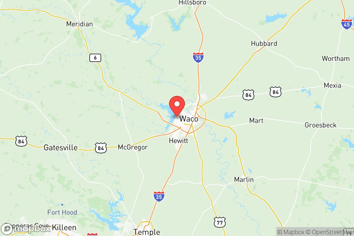
Strategic Assessment of Mclennan County
Meaningful friction. Expect exposure to either population pressure, blast zones, or natural disaster risk. Consider buying a retreat property.
What does the Strategic Assessment tell us?
Our Strategic Assessment grades tactical survivability of an area. Major population centers, military targets, fallout zones, natural disasters, and border exposure all drive risk — lower exposure means a more defensible position in a crisis.
This is heavily inspired by Joel Skousen's Strategic Relocation book. Highly recommended you checkout the book ($)What does this tell us?
Our Strategic Assessment grades tactical survivability of an area. Major population centers, military targets, fallout zones, natural disasters, and border exposure all drive risk — lower exposure means a more defensible position in a crisis.
This is heavily inspired by Joel Skousen's Strategic Relocation book. Highly recommended you checkout the book ($)Strategic Pillars

Key Distances
Strategic Assessment Analysis
McLennan County, anchored by the city of Waco, offers a strategic balance of geographic resilience and practical self-sufficiency that appeals to relocation-minded individuals and families who prioritize disaster readiness. Positioned roughly 90 miles south of the Dallas-Fort Worth metroplex and 100 miles north of Austin, the county sits outside the immediate blast and fallout zones of major urban centers while remaining close enough to access their economic and medical infrastructure when conditions are stable. The area's location along the I-35 corridor provides logistical advantages, but its distance from coastal hurricane landfalls, major refinery complexes, and high-density population targets makes it a defensible choice for those thinking seriously about long-term preparedness.
Geographic position and natural advantages for disaster readiness
McLennan County's topography and hydrology provide meaningful natural buffers. The county sits on the eastern edge of the Texas Hill Country, where the terrain transitions from the rolling limestone hills to the west into the flatter Blackland Prairie to the east. This elevation gradient — with the western portions of the county around Woodway and Hewitt reaching 700-800 feet above sea level — offers natural drainage advantages and reduces flood risk compared to the low-lying coastal plain. The Brazos River runs through the county, providing a substantial freshwater resource, though relocators should note that properties in the river's floodplain near Waco, Bellmead, and McGregor require careful site selection. The county's position in Central Texas places it outside the highest-risk tornado alley of the northern plains, though severe thunderstorms and occasional tornadoes remain a seasonal reality. For a relocator weighing natural hazard exposure, McLennan County's inland location means zero hurricane storm surge risk, minimal earthquake activity, and wildfire risk concentrated in the more rural western portions rather than the urbanized I-35 corridor.
Risks, exposures, and proximity to fallout-relevant landmarks
While McLennan County avoids the worst of coastal and metropolitan risks, it is not without exposure to man-made and infrastructure-related hazards. The most significant concern is the county's position along the I-35 corridor, a major north-south transportation artery that moves freight, fuel, and hazardous materials between the Mexico border and the interior United States. A derailment or truck accident involving chemicals near Waco's rail yards or the I-35/US-84 interchange could create localized evacuation zones. The county also sits roughly 60 miles east of Fort Cavazos (formerly Fort Hood), one of the largest military installations in the world by population. While this proximity provides economic benefits and potential employment for veterans, it also means the area lies within the fallout-relevant radius of a major strategic military target. On the industrial side, McLennan County itself has no major refineries or nuclear facilities, but the Port of Houston's refinery corridor lies roughly 180 miles southeast — far enough to avoid direct blast effects but within a plausible downwind fallout zone under certain weather patterns. Relocators should also be aware that the Waco Regional Airport and nearby Texas State Technical College airfield could become secondary targets in a conflict scenario, though this risk is lower than for major commercial hubs like DFW or Austin-Bergstrom.
Practical resilience for relocators: food, water, energy, and defensibility
McLennan County's practical resilience profile is strong for a Central Texas location, particularly for relocators who value self-sufficiency. The county sits atop the Trinity Aquifer, which provides reliable groundwater access for private wells in rural areas west of Waco, while the Brazos River offers a surface water source that the city of Waco has rights to draw from. For food security, the county is surrounded by active agricultural land — McGregor and West, Texas are farming communities where livestock, hay, and row crops are produced, and the Waco Downtown Farmers Market operates year-round. The area's growing season runs approximately 230 days, from late March through early November, allowing for substantial home food production. Energy resilience is a mixed picture: Oncor Electric Delivery serves the county and has invested in grid hardening since the 2021 winter storm, but rural areas still experience occasional outages during ice storms or summer demand peaks. Solar potential is excellent, with the county averaging 215 sunny days per year, and local permitting for off-grid solar installations is straightforward in unincorporated areas. For defensibility, the county's layout offers strategic advantages — the western Hill Country terrain provides natural chokepoints and observation points, while the more open eastern farmland offers long sightlines. The Lake Waco area and the wooded corridors along the Brazos provide cover and water access for those planning a retreat property, though relocators should verify that any rural land purchase includes mineral rights and water access documentation.
Overall, McLennan County presents a compelling strategic picture for the disaster-conscious relocator. It avoids the highest-risk coastal and metropolitan exposure zones while maintaining access to the economic and medical infrastructure of the I-35 corridor. The county's combination of groundwater availability, agricultural capacity, and moderate population density — roughly 260,000 residents spread across 1,060 square miles — means that a prepared individual or family can achieve meaningful self-sufficiency without the extreme isolation of far West Texas or the Panhandle. The primary trade-offs are the I-35 corridor's hazardous material transport risk and the proximity to Fort Cavazos as a strategic target, but these are manageable with proper site selection and contingency planning. For a relocator who values resilience over convenience and is willing to invest in well water, solar energy, and food production systems, McLennan County offers one of the better risk-reward profiles in Central Texas.

* Values derived from national, state, county, city and local statistics and may differ in a specific area. Last updated: 2026-07-08T22:34:47.000Z
Narrative content on this page is AI-generated and may contain mistakes. Verify any details that matter before acting on them.
ReloMaps may earn a commission from affiliate links at no extra cost to you.

