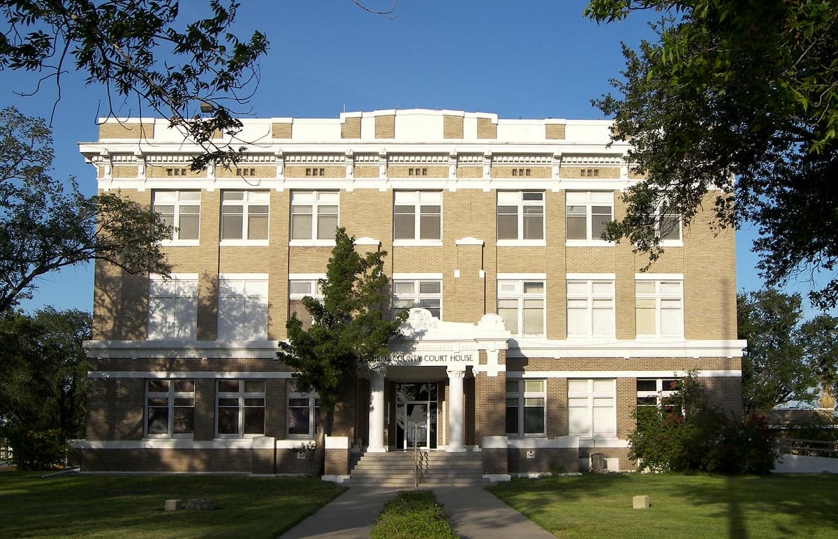
Photo: Wikipedia
Strategic Assessment of Kleberg County
Workable tactical position. Some exposure to population density or targets, but generally defensible in a crisis.
What does the Strategic Assessment tell us?
Our Strategic Assessment grades tactical survivability of an area. Major population centers, military targets, fallout zones, natural disasters, and border exposure all drive risk — lower exposure means a more defensible position in a crisis.
This is heavily inspired by Joel Skousen's Strategic Relocation book. Highly recommended you checkout the book ($)What does this tell us?
Our Strategic Assessment grades tactical survivability of an area. Major population centers, military targets, fallout zones, natural disasters, and border exposure all drive risk — lower exposure means a more defensible position in a crisis.
This is heavily inspired by Joel Skousen's Strategic Relocation book. Highly recommended you checkout the book ($)Strategic Pillars

Key Distances
Strategic Assessment Analysis
Kleberg County, anchored by the city of Kingsville, offers a strategic relocation option for those prioritizing resilience and self-sufficiency, thanks to its position along the South Texas Coastal Bend. The county benefits from being far enough from major metropolitan targets like Houston and San Antonio to reduce exposure to large-scale fallout risks, while still maintaining access to critical infrastructure and supply routes. Its location provides a balance of isolation and connectivity, making it a viable base for a prepared household.
Geographic position and natural advantages for self-sufficiency
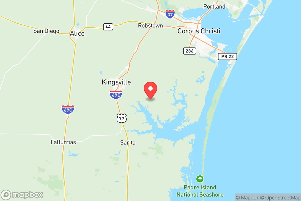
Kleberg County sits roughly 40 miles southwest of Corpus Christi and about 120 miles north of the U.S.-Mexico border, placing it in a relatively low-density corridor of the Texas Gulf Coast. The county’s geography is defined by the flat, semi-arid landscape of the South Texas Plains, which transitions into coastal marshes near Baffin Bay and the Laguna Madre. This positioning offers several natural advantages: the area is far enough inland to avoid the worst of hurricane storm surge (though still vulnerable to wind and rain), yet close enough to the coast to access marine resources. The Kleberg County terrain is largely ranchland and agricultural, with the King Ranch—one of the largest ranches in the world—dominating the western portion of the county. This open space provides natural defensibility, as it limits dense population centers and creates buffer zones. The Nueces River runs along the county’s northern edge, offering a reliable freshwater source, while the Baffin Bay coastline to the east provides access to fishing and maritime routes. The county’s relatively low elevation (averaging 60 feet above sea level) means groundwater is accessible, and the semi-arid climate reduces the risk of flooding compared to areas further north or east.
Risks, exposures, and proximity to fallout-relevant landmarks
While Kleberg County is not a primary target, it sits within a region with several industrial and military assets that could become secondary concerns. The Naval Air Station Kingsville (NAS Kingsville) is a major U.S. Navy training base located just south of Kingsville, specializing in jet pilot training. While not a strategic nuclear target on the scale of Fort Hood or a major port, NAS Kingsville could be a secondary target in a conflict scenario, and its presence means the area has a higher-than-average military population and associated infrastructure. Additionally, the Corpus Christi Ship Channel and the Flint Hills Resources Refinery in Corpus Christi (one of the largest refineries in the U.S.) are roughly 40 miles north—close enough that a major incident there could affect air quality or supply chains in Kleberg County. The county is also within 100 miles of the South Texas Nuclear Generating Station near Bay City, though prevailing winds typically blow from the southeast, reducing direct fallout risk. Natural risks include hurricane landfalls (the area was hit hard by Hurricane Harvey in 2017, though mostly from wind and rain rather than surge), and periodic drought conditions that stress water supplies. The county’s flat terrain and lack of natural barriers mean that any airborne contamination (from industrial accidents or fallout) could spread quickly, though the low population density reduces the number of people exposed.
Practical resilience for a relocator: food, water, energy, and defensibility
For a relocator focused on self-sufficiency, Kleberg County offers several practical advantages. Water access is a key strength: the Nueces River and its aquifer provide a reliable groundwater source, and many rural properties have existing wells. The county’s average annual rainfall of about 28 inches supports rain catchment systems, and the proximity to Baffin Bay means desalination or saltwater harvesting is a theoretical option for those with the resources. Food production is robust, with the King Ranch and numerous smaller ranches producing beef, and the coastal waters providing shrimp, fish, and oysters. The county’s agricultural base means local farmers’ markets and direct-to-consumer meat sales are common, and the climate supports year-round vegetable gardening with proper irrigation. Energy resilience is mixed: the area is served by the Texas power grid (ERCOT), which has proven vulnerable to winter storms (as seen in 2021). However, the region’s high solar insolation (over 5.5 peak sun hours per day) makes solar panels highly effective, and wind energy is abundant—the county is part of the Coastal Bend wind corridor, with several wind farms nearby. Natural gas is widely available for backup generation. Defensibility is a strong point: the county’s low population density (roughly 30 people per square mile) and vast open spaces make it easy to secure a rural property. The terrain is flat but offers good visibility, and the lack of major highways or choke points reduces the risk of large-scale refugee flows. The Kingsville city center provides a hub for supplies, medical care (Christus Spohn Hospital Kleberg), and community coordination, while rural areas offer isolation. The county’s location along U.S. Highway 77 provides a north-south evacuation route, but also a potential vector for unwanted traffic in a crisis—something to consider when choosing a property.
Overall, Kleberg County presents a solid strategic option for a relocator seeking a balance of isolation and access. Its geographic position away from major metropolitan targets, combined with strong natural resources (water, food, energy potential), makes it a defensible base for a prepared household. The primary risks—proximity to NAS Kingsville and the Corpus Christi industrial corridor, plus hurricane exposure—are manageable with proper planning, such as choosing a property with good drainage and a backup power system. For a conservative-leaning audience valuing self-reliance and community, Kleberg County offers a realistic, grounded alternative to more crowded or exposed regions of Texas. The key is to secure a property with a well, solar capability, and a defensible perimeter—and to build relationships with local ranchers and farmers who form the backbone of the area’s resilience.

* Values derived from national, state, county, city and local statistics and may differ in a specific area. Last updated: 2026-07-27T12:31:22.000Z
Narrative content on this page is AI-generated and may contain mistakes. Verify any details that matter before acting on them.
ReloMaps may earn a commission from affiliate links at no extra cost to you.

