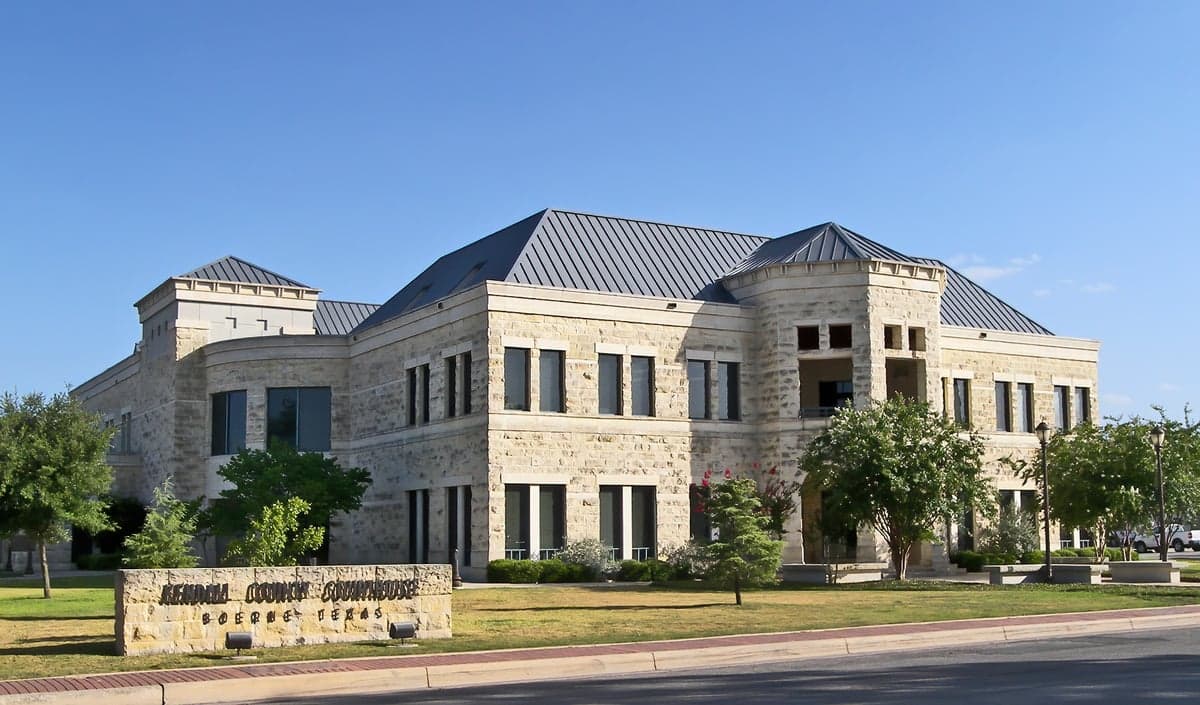
Photo: Wikipedia
Strategic Assessment of Kendall County
Meaningful friction. Expect exposure to either population pressure, blast zones, or natural disaster risk. Consider buying a retreat property.
What does the Strategic Assessment tell us?
Our Strategic Assessment grades tactical survivability of an area. Major population centers, military targets, fallout zones, natural disasters, and border exposure all drive risk — lower exposure means a more defensible position in a crisis.
This is heavily inspired by Joel Skousen's Strategic Relocation book. Highly recommended you checkout the book ($)What does this tell us?
Our Strategic Assessment grades tactical survivability of an area. Major population centers, military targets, fallout zones, natural disasters, and border exposure all drive risk — lower exposure means a more defensible position in a crisis.
This is heavily inspired by Joel Skousen's Strategic Relocation book. Highly recommended you checkout the book ($)Strategic Pillars

Key Distances
Strategic Assessment Analysis
Kendall County, anchored by the historic town of Boerne and stretching across the Texas Hill Country, presents a compelling case for the relocation-minded reader who prioritizes resilience and strategic positioning. Its location offers a rare combination of physical separation from major metropolitan fallout zones while maintaining reasonable access to essential infrastructure, making it a serious contender for those evaluating long-term security and self-sufficiency. The county's position along the Balcones Escarpment provides natural defensive terrain and a distinct climatic buffer, setting it apart from the flat, exposed landscapes to the east and south.
Geographic position and natural advantages for long-term security
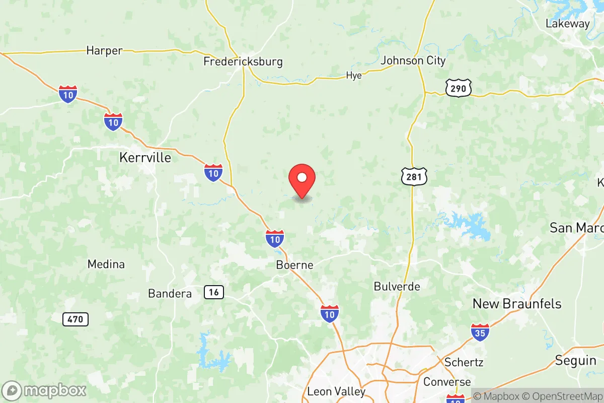
Kendall County sits at a strategic nexus roughly 30 miles northwest of San Antonio and 80 miles southwest of Austin, placing it outside the immediate blast and fallout zones of either major city while still within a practical distance for supply runs or medical evacuation in a non-crisis scenario. The county's terrain is defined by rolling hills, limestone bedrock, and spring-fed creeks, which offer natural defensibility and excellent drainage compared to flood-prone areas downstream. The Cibolo Creek and Guadalupe River watersheds provide reliable surface water sources, a critical asset in a region where groundwater access can be variable. Boerne, the county seat, sits at an elevation of approximately 1,400 feet, giving it a thermal and visibility advantage over lower-lying areas. The proximity to the Edwards Aquifer recharge zone means that private wells in the northern and western parts of the county often yield good water, though permitting and depth requirements are strict. For the relocator, this geography translates into a lower risk profile for hurricane storm surge, storm-surge flooding, and the kind of catastrophic infrastructure failure that plagues coastal and low-lying urban corridors.
Risks, exposures, and proximity to fallout-relevant landmarks
No strategic assessment is complete without an honest accounting of risks, and Kendall County has several that a serious relocator must weigh. The most significant man-made risk comes from its proximity to the San Antonio metropolitan area, which includes Joint Base San Antonio (encompassing Fort Sam Houston, Lackland Air Force Base, and Randolph Air Force Base) — a major military command and logistics hub that could be a primary or secondary target in a conflict scenario. The prevailing winds in the region generally blow from the south and southeast, meaning that fallout from a strike on San Antonio's military installations would likely drift northward, directly over Kendall County. Additionally, the county lies within 150 miles of the Houston Ship Channel and its refinery corridor, one of the largest petrochemical complexes in the world. While not close enough for direct blast effects, a major industrial accident or targeted attack on that corridor could release toxic plumes that, depending on weather patterns, might reach the Hill Country. On the natural hazard side, the primary risks are wildfire in the dry summer months, particularly in the heavily wooded subdivisions west of Boerne, and flash flooding along the low-water crossings that dot the county's rural roads. The 2021 winter storm (Uri) exposed the county's vulnerability to prolonged power outages, with some rural areas going without electricity for over a week. Earthquake risk is negligible, and tornado activity is significantly lower than in the Dallas-Fort Worth corridor to the north.
Practical resilience for a relocator: food, water, energy, and defensibility
For the relocator serious about self-sufficiency, Kendall County offers a mixed but generally favorable picture. Water availability is the strongest asset: the county sits atop portions of the Trinity and Edwards aquifers, and properties with existing wells or access to spring-fed creeks are common in the unincorporated areas. However, new well permits are increasingly difficult to obtain in the more populated parts of the county, so a buyer should verify water rights before purchasing land. Food resilience is moderate: the county has a growing network of small farms, ranches, and farmers' markets, particularly around Boerne and Comfort, but it is not an agricultural powerhouse. The rocky, thin soils limit large-scale crop production, though livestock grazing (cattle, goats, and sheep) is viable. For long-term food security, a relocator would need to invest in raised-bed gardening, rainwater catchment, and possibly greenhouse infrastructure. Energy resilience is an area of concern: the county is served primarily by the Electric Reliability Council of Texas (ERCOT) grid, which has demonstrated fragility during extreme weather events. Solar penetration is growing, but many rural properties still rely on grid power with backup generators. Natural gas is available in Boerne and some subdivisions, but propane is the standard for off-grid homes. Defensibility is a strong point: the terrain offers natural chokepoints and vantage points, and the county's relatively low population density (roughly 50 people per square mile in the unincorporated areas) means that a well-prepared group could effectively secure a perimeter. The local law enforcement presence is adequate for a rural county, with the Kendall County Sheriff's Office and constables covering the unincorporated areas, but response times in the far western reaches can exceed 30 minutes. The county's network of secondary roads and farm-to-market routes provides multiple egress options, reducing the risk of being trapped by a single blocked highway.
The overall strategic picture for Kendall County is one of calculated advantage with acknowledged trade-offs. It offers genuine geographic and resource-based resilience that is hard to find closer to the major Texas metros, particularly in terms of water access, defensible terrain, and separation from primary target zones. The trade-offs are real: vulnerability to grid failure, wildfire risk, and the potential for fallout from San Antonio's military installations depending on wind direction. For the relocator who is willing to invest in off-grid infrastructure — solar, battery storage, well water, and food production — and who understands that the county is not a remote wilderness but a semi-rural exurb with growing population pressure, Kendall County represents one of the more balanced options in Texas for long-term strategic relocation. The key is to buy west of Boerne or north of Comfort, where lot sizes increase, development pressure decreases, and the natural advantages of the Hill Country terrain are most pronounced.

* Values derived from national, state, county, city and local statistics and may differ in a specific area. Last updated: 2026-06-18T17:11:30.000Z
Narrative content on this page is AI-generated and may contain mistakes. Verify any details that matter before acting on them.
ReloMaps may earn a commission from affiliate links at no extra cost to you.

