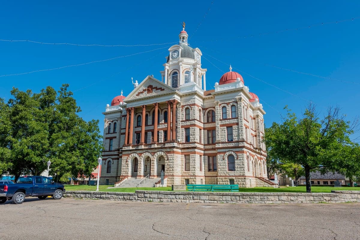
Photo: Wikipedia
Strategic Assessment of Coryell County
Workable tactical position. Some exposure to population density or targets, but generally defensible in a crisis.
What does the Strategic Assessment tell us?
Our Strategic Assessment grades tactical survivability of an area. Major population centers, military targets, fallout zones, natural disasters, and border exposure all drive risk — lower exposure means a more defensible position in a crisis.
This is heavily inspired by Joel Skousen's Strategic Relocation book. Highly recommended you checkout the book ($)What does this tell us?
Our Strategic Assessment grades tactical survivability of an area. Major population centers, military targets, fallout zones, natural disasters, and border exposure all drive risk — lower exposure means a more defensible position in a crisis.
This is heavily inspired by Joel Skousen's Strategic Relocation book. Highly recommended you checkout the book ($)Strategic Pillars

Key Distances
Strategic Assessment Analysis
Coryell County, Texas, offers a compelling strategic position for relocation-minded individuals and families who prioritize resilience and self-sufficiency, balancing proximity to major military infrastructure with a largely rural, low-density character. Located in Central Texas along the I-35 corridor, the county provides a buffer from the most acute risks of major metropolitan areas while retaining access to critical supply routes and regional resources. Its geography—rolling hills, limestone bedrock, and the Leon River watershed—creates a natural foundation for long-term sustainability, though the presence of Fort Cavazos (formerly Fort Hood) introduces both opportunities and distinct vulnerabilities that any serious preparedness-minded relocator must weigh carefully.
Geographic position and natural advantages for long-term stability
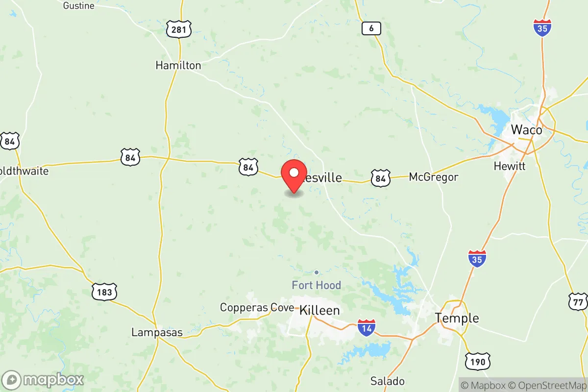
Coryell County sits roughly 60 miles south of Waco and 50 miles west of Temple, placing it outside the immediate blast and fallout zones of major Texas cities like Dallas-Fort Worth or Houston, yet within a practical driving distance for resupply or medical evacuation. The county’s terrain is dominated by the Lampasas Cut Plain and the Edwards Plateau transition zone, offering elevations ranging from 700 to 1,200 feet that provide natural drainage and reduce flood risk compared to coastal or river-bottom counties. The Leon River, which flows through the county seat of Gatesville and past the town of Copperas Cove, supplies a reliable surface water source, while the underlying Trinity Aquifer offers groundwater access for wells—a critical advantage for off-grid water security. The region’s moderate climate, with an average of 230 sunny days per year and annual rainfall around 32 inches, supports small-scale agriculture and rainwater harvesting without the extreme drought pressures of West Texas. For a relocator, the county’s position along U.S. Highway 84 and State Highway 36 provides redundant road access to I-35, the primary north-south logistics corridor of the Central United States, without being directly adjacent to its most congested or target-rich segments.
Risks, exposures, and proximity to fallout-relevant landmarks
The single most significant risk factor in Coryell County is the presence of Fort Cavazos, one of the largest military installations in the world by area, covering over 214,000 acres and hosting the III Armored Corps and 1st Cavalry Division. This makes the county a high-priority target in any conflict scenario involving conventional or nuclear strikes against U.S. military infrastructure. The towns of Copperas Cove and Gatesville are within 10 to 20 miles of the base’s main cantonment areas, placing them in a potential fallout zone if the base were targeted. Additionally, the county lies roughly 100 miles south of the Dallas-Fort Worth metroplex, which contains multiple defense contractors, major airports, and the Pantex nuclear weapons assembly plant near Amarillo (though that is farther north). On the natural disaster front, Coryell County is in Tornado Alley’s southern extension, with an average of 5 to 7 tornado warnings per year, and the Balcones Fault zone runs through the region, producing occasional minor seismic activity. Wildfire risk is moderate, particularly in the rural grasslands and juniper scrub east of the Leon River, but the county’s low population density (roughly 78 people per square mile) reduces the likelihood of catastrophic urban firestorms. For a relocator, the key takeaway is that the military target risk is real and should be factored into any property selection, ideally choosing a location at least 15 miles from Fort Cavazos’s main gates and with a basement or reinforced shelter.
Practical resilience for a relocator: food, water, energy, and defensibility
Coryell County’s practical resilience profile is strong for those willing to invest in infrastructure. The agricultural base is modest but functional: the county has over 1,200 farms and ranches, with cattle, hay, and small grains as primary outputs. Local food production is supplemented by farmers’ markets in Gatesville and Copperas Cove, though year-round self-sufficiency would require a home garden and livestock. Water access is the county’s standout advantage—the Trinity Aquifer provides well yields of 10 to 50 gallons per minute in most areas, and the Leon River can be used for irrigation with proper permits. Rainwater harvesting is viable given the 32-inch annual rainfall, and many rural properties already have cisterns. Energy resilience is moderate: the county is served by Oncor Electric Delivery, with frequent but short-duration outages during storms. Solar potential is excellent, with an average of 5.5 peak sun hours per day, and off-grid solar-plus-battery systems are increasingly common among rural landowners. Propane and wood are the primary backup heating fuels, with local suppliers in Gatesville and Oglesby. Defensibility is a mixed picture: the county’s rolling hills and scattered oak-juniper woodlands offer natural cover and choke points, but the open ranchland east of the river provides limited concealment. The population is predominantly conservative and firearm-friendly, with a strong culture of mutual aid among rural landowners—a social resilience factor that cannot be overstated. However, the county’s proximity to Fort Cavazos means that a sudden evacuation of the base’s 40,000+ personnel and their families could overwhelm local roads and resources, so any relocation plan should include a secondary retreat location at least 50 miles away, such as into the Hill Country near Lampasas or San Saba.
Overall, Coryell County presents a balanced strategic picture for the serious relocator: it offers genuine geographic advantages in water, terrain, and distance from major urban targets, but the presence of Fort Cavazos introduces a non-trivial military risk that must be mitigated through careful property selection and shelter preparation. For a family or individual willing to invest in a well, solar array, and reinforced safe room, the county provides a defensible, resource-rich base of operations within a broader Central Texas network of small towns and agricultural communities. The key is to avoid the immediate shadow of the base—choose a property in the western or southern parts of the county, near the towns of Evant or Purmela, where the terrain is hillier and the distance from military infrastructure is greatest. With those precautions, Coryell County ranks as a solid, if not exceptional, choice for a resilience-focused relocation in Texas.

* Values derived from national, state, county, city and local statistics and may differ in a specific area. Last updated: 2026-06-14T17:13:43.000Z
Narrative content on this page is AI-generated and may contain mistakes. Verify any details that matter before acting on them.
ReloMaps may earn a commission from affiliate links at no extra cost to you.

