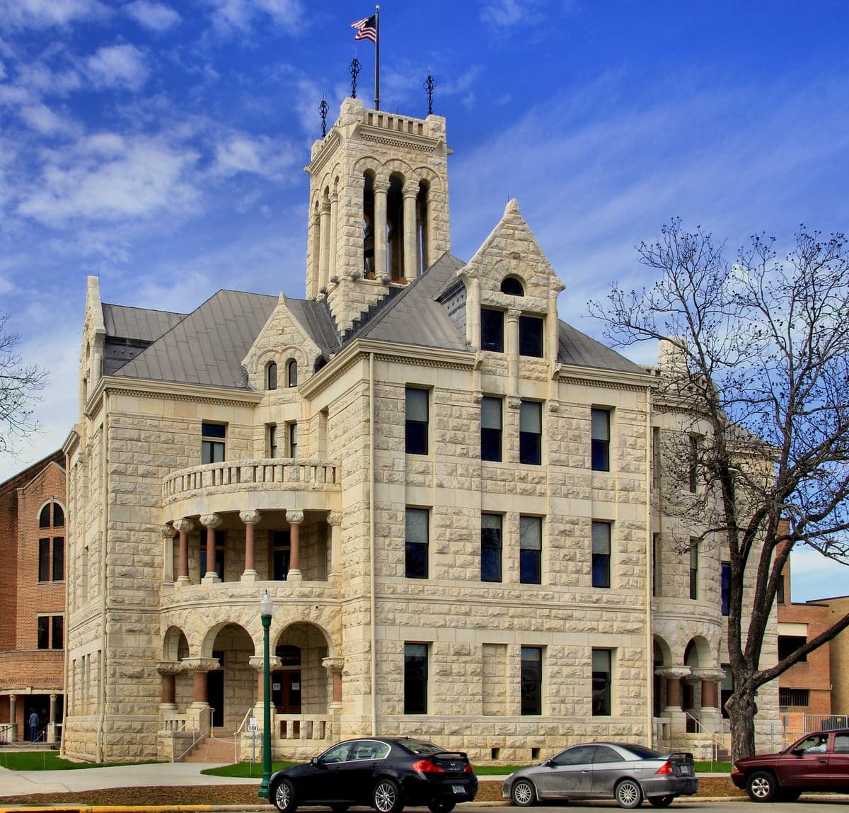
Photo: Wikipedia
Strategic Assessment of Comal County
Meaningful friction. Expect exposure to either population pressure, blast zones, or natural disaster risk. Consider buying a retreat property.
What does the Strategic Assessment tell us?
Our Strategic Assessment grades tactical survivability of an area. Major population centers, military targets, fallout zones, natural disasters, and border exposure all drive risk — lower exposure means a more defensible position in a crisis.
This is heavily inspired by Joel Skousen's Strategic Relocation book. Highly recommended you checkout the book ($)What does this tell us?
Our Strategic Assessment grades tactical survivability of an area. Major population centers, military targets, fallout zones, natural disasters, and border exposure all drive risk — lower exposure means a more defensible position in a crisis.
This is heavily inspired by Joel Skousen's Strategic Relocation book. Highly recommended you checkout the book ($)Strategic Pillars

Key Distances
Strategic Assessment Analysis
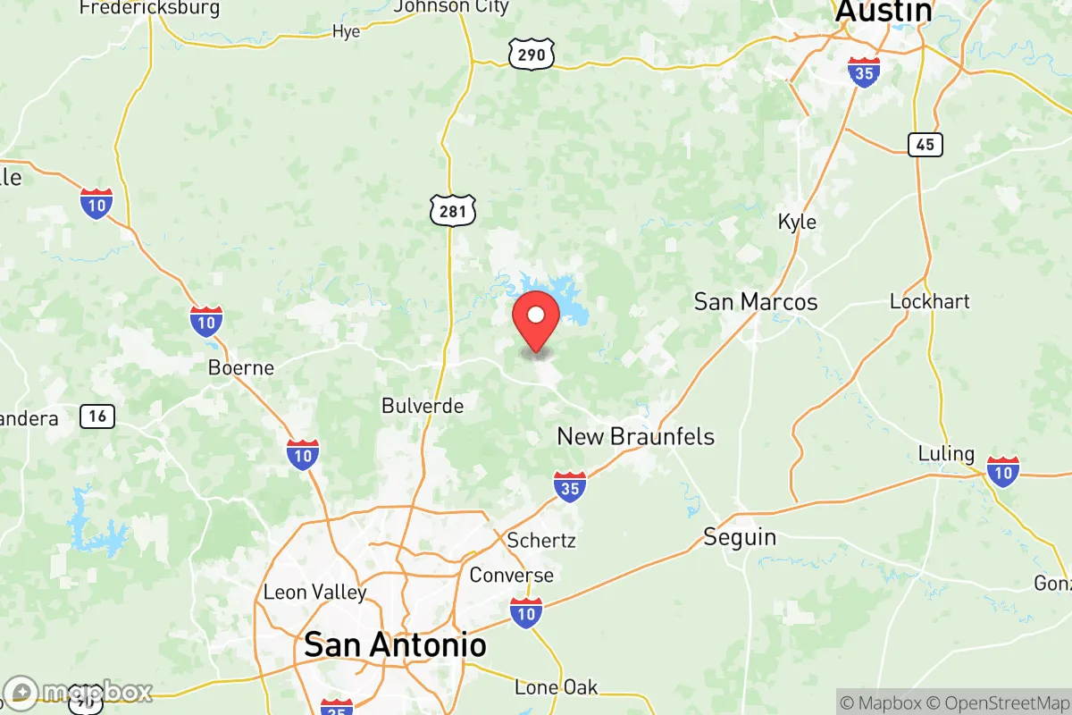
Comal County, Texas, occupies a strategic position in the state’s rapidly growing I-35 corridor, offering a blend of geographic insulation and practical self-sufficiency that appeals to relocation-minded individuals and families. Anchored by the cities of New Braunfels and Canyon Lake, the county sits roughly 30 miles northeast of San Antonio and 50 miles south of Austin, placing it within commuting distance of major job centers while maintaining a distinctly separate, more rural character. This positioning provides a meaningful buffer from the densest urban cores and their associated vulnerabilities, while still granting access to the economic and logistical resources of two of Texas’s largest metropolitan areas. For a relocator prioritizing resilience, Comal County’s combination of water resources, topography, and distance from high-risk industrial targets makes it a noteworthy candidate for a long-term base of operations.
Geographic position and natural advantages for long-term security
Comal County’s most significant natural asset is its location atop the Edwards Aquifer, one of the most productive and reliable groundwater systems in the United States. The county is home to the Comal River and the Guadalupe River, both spring-fed and perennial, providing a surface water supply that is rare in semi-arid Texas. Canyon Lake, a U.S. Army Corps of Engineers reservoir built in the 1960s, holds roughly 382,000 acre-feet of water and serves as both a recreational resource and a strategic water reserve for the region. The terrain transitions from the rolling Blackland Prairie in the east to the steeper, limestone-rich Texas Hill Country in the west, offering natural defensibility through elevation changes and limited road networks in the western portions of the county. This varied topography also reduces the risk of large-scale flooding compared to flatter coastal plains, though low-lying areas near the rivers remain flood-prone during heavy rain events. The county’s position away from the Gulf Coast eliminates direct hurricane storm surge risk, and its inland location reduces the likelihood of tornado activity compared to North Texas or Oklahoma, though severe thunderstorms and occasional hail remain a seasonal reality.
Risk exposure and proximity to fallout-relevant landmarks
While Comal County offers meaningful geographic buffers, it is not immune to risks associated with its position in a rapidly urbanizing corridor. The county lies approximately 60 miles east of Joint Base San Antonio (Fort Sam Houston, Lackland AFB, Randolph AFB), a major military command and training hub that could be a target in a conflict scenario. To the north, Fort Hood (now Fort Cavazos) near Killeen is roughly 90 miles away, housing the III Armored Corps and representing another high-value military asset. The I-35 corridor itself is a critical logistics artery connecting San Antonio, Austin, Dallas, and the broader national highway network, which could become a chokepoint or target during a disruption. Comal County is also within 150 miles of the Houston Ship Channel and the Texas City refinery complex, one of the largest petrochemical clusters in the world, which presents both an economic dependency and a potential fallout hazard in the event of a major industrial accident or attack. On the natural disaster front, the county sits in a seismically stable region with negligible earthquake risk, but the combination of limestone karst topography and heavy rainfall can produce flash flooding, particularly in the Canyon Lake spillway area and along the Guadalupe River downstream of New Braunfels. Wildfire risk is moderate, concentrated in the more wooded, undeveloped western Hill Country sections, but the county’s fire departments and volunteer units have developed response capacity through recent growth.
Practical resilience for a relocator: food, water, energy, and defensibility
For a relocator focused on self-sufficiency, Comal County offers a strong baseline. The water situation is arguably the best in Central Texas, with the Guadalupe and Comal Rivers providing surface flow even during drought years, and the Edwards Aquifer offering deep groundwater access for those with well-drilling capacity. The county’s agricultural base includes cattle ranching, hay production, and a growing number of small-scale farms and homesteads, particularly in the areas around Fischer, Sattler, and Spring Branch. Local food production is supplemented by the New Braunfels Farmers Market and a network of roadside stands, though year-round growing requires irrigation or greenhouse infrastructure due to hot, dry summers. Energy resilience is supported by the county’s position within the ERCOT grid, which has proven vulnerable to winter storms (notably Winter Storm Uri in 2021), but the prevalence of natural gas generation and the growing adoption of residential solar and battery storage among rural homeowners offers a path to partial independence. The county’s defensibility is mixed: the eastern half, including New Braunfels and the I-35 frontage, is increasingly suburbanized with dense road networks, while the western Hill Country sections offer more isolation, limited access points, and natural chokepoints along ranch roads and county highways. The Comal County Sheriff’s Office and local constables maintain a visible presence, and the county’s relatively low violent crime rate (consistently below national averages) supports a sense of security, though property crime has risen with population growth. For those willing to invest in well water, solar panels, and a rural property west of Canyon Lake, Comal County provides one of the more balanced resilience profiles in Texas.
Overall, Comal County presents a compelling strategic picture for the relocation-minded reader who values water security, geographic buffers, and access to Hill Country terrain without complete isolation from urban infrastructure. The county’s primary weaknesses are its position along the I-35 corridor and its proximity to major military and industrial targets, but these are mitigated by the ability to locate in the western, less accessible portions of the county. For a family or individual willing to invest in property with well water, solar capacity, and some distance from the New Braunfels suburban sprawl, Comal County offers a defensible, resource-rich base that balances modern convenience with genuine long-term resilience. The key is to choose location carefully—east of Canyon Lake offers convenience and water access, while west of the lake offers isolation and defensibility at the cost of longer drives to supplies and services.

* Values derived from national, state, county, city and local statistics and may differ in a specific area. Last updated: 2026-07-01T16:25:07.000Z
Narrative content on this page is AI-generated and may contain mistakes. Verify any details that matter before acting on them.
ReloMaps may earn a commission from affiliate links at no extra cost to you.

