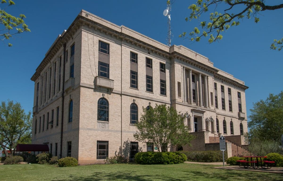
Photo: Wikipedia
Strategic Assessment of Burleson County
Workable tactical position. Some exposure to population density or targets, but generally defensible in a crisis.
What does the Strategic Assessment tell us?
Our Strategic Assessment grades tactical survivability of an area. Major population centers, military targets, fallout zones, natural disasters, and border exposure all drive risk — lower exposure means a more defensible position in a crisis.
This is heavily inspired by Joel Skousen's Strategic Relocation book. Highly recommended you checkout the book ($)What does this tell us?
Our Strategic Assessment grades tactical survivability of an area. Major population centers, military targets, fallout zones, natural disasters, and border exposure all drive risk — lower exposure means a more defensible position in a crisis.
This is heavily inspired by Joel Skousen's Strategic Relocation book. Highly recommended you checkout the book ($)Strategic Pillars

Key Distances
Strategic Assessment Analysis
Burleson County, Texas, offers a strategic balance of rural self-sufficiency and proximity to critical infrastructure, making it a noteworthy option for relocation-minded individuals and families prioritizing disaster readiness. Located roughly 60 miles northwest of Houston and 40 miles east of Austin, the county sits outside the immediate blast and fallout zones of major metropolitan targets while remaining close enough to access emergency medical care, supply chains, and employment hubs. The county seat, Caldwell, anchors a region defined by agricultural resilience, low population density, and a conservative governance structure that aligns with the values of many prepper-oriented households.
Geographic position and natural advantages for long-term stability
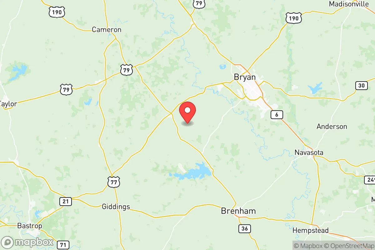
Burleson County’s location in the Brazos River Valley provides abundant freshwater access, a critical asset for any long-term resilience plan. The Brazos River runs along the county’s western edge, supplemented by smaller creeks and aquifers that support local agriculture and private well systems. The terrain is predominantly flat to gently rolling farmland, which simplifies construction, gardening, and livestock management compared to hillier regions. The county’s position between the Bryan-College Station metro area (30 miles north) and the Austin-San Antonio corridor means residents can tap into regional resources—Texas A&M’s agricultural extension services, for example—without being directly exposed to urban collapse scenarios. The climate is humid subtropical, with hot summers and mild winters, allowing for year-round food production and reducing the need for heavy heating fuel storage. However, the region’s flat topography and clay soils mean drainage can be an issue during heavy rains, a factor to consider when siting a home or garden.
Risks, exposures, and proximity to fallout-relevant landmarks
While Burleson County avoids the highest-risk zones, it is not immune to man-made and natural threats. The most significant man-made risk comes from the Houston Ship Channel and refinery corridor, located roughly 70 miles southeast. A major incident at one of the nation’s largest petrochemical complexes—home to refineries in Texas City, Baytown, and Pasadena—could send toxic plumes or fallout northward depending on wind patterns. Similarly, the Fort Cavazos (formerly Fort Hood) military installation lies about 90 miles northwest, a potential target in a conflict scenario. The county also sits within 100 miles of the South Texas Nuclear Generating Station near Bay City, though prevailing winds typically carry any release eastward toward the Gulf. Natural hazards include tornadoes (the county averages 3-5 per year, mostly EF0-EF1), flash flooding along the Brazos River, and the occasional wildfire during drought periods. The county’s lack of major industrial targets within its borders is a net positive, but residents should plan for potential evacuation or shelter-in-place scenarios tied to these external risks. The small towns of Snook, Somerville, and Lyons offer additional buffer zones, with Somerville’s lake providing both a recreational resource and a potential water reserve.
Practical resilience for a relocator: food, water, energy, and defensibility
For a family or individual serious about self-sufficiency, Burleson County delivers on the basics. Water access is the strongest asset: the Brazos River, Lake Somerville (11,000+ acres), and numerous private wells mean most properties can secure independent water sources. Well drilling costs in the area range from $5,000 to $12,000, a worthwhile investment for long-term security. Food production is viable year-round, with a growing season of 250+ days. The county’s agricultural base—cotton, corn, sorghum, and cattle—means local feed and seed supplies are available, and Caldwell hosts a weekly farmers market from April through November. Hunting is permitted on private land with permission, with white-tailed deer, feral hogs, and turkey providing protein sources. Energy resilience is moderate: the county is served by the ERCOT grid, which has shown vulnerability during winter storms (notably 2021’s Uri). Solar potential is good, with an average of 204 sunny days per year, and many rural properties already use propane or diesel generators. The county’s low population density—roughly 20,000 residents across 666 square miles—enhances defensibility. Rural properties with long driveways, fence lines, and natural tree buffers offer privacy and security. The Burleson County Sheriff’s Office maintains a visible presence, but response times in remote areas can exceed 30 minutes, making personal security measures—dogs, cameras, and firearms—a practical consideration. The county’s conservative political climate, with most elected officials supporting Second Amendment rights and limited regulation, aligns with a prepper mindset.
The overall strategic picture for Burleson County is one of moderate-to-high resilience with manageable trade-offs. It avoids the extreme risks of coastal hurricane zones, major urban targets, and nuclear plant proximity while retaining access to critical resources like water, arable land, and regional medical centers in Bryan-College Station and Austin. The primary vulnerabilities—grid instability, refinery corridor fallout potential, and occasional flooding—are addressable through standard preparedness measures: backup power, water storage, and a well-stocked pantry. For a relocator seeking a balance between isolation and accessibility, Burleson County offers a defensible, resource-rich base that supports long-term self-reliance without requiring a complete off-grid lifestyle. The key is to choose property with good drainage, well water, and a location away from the Brazos floodplain—advice that applies to any serious prepper evaluating this part of Texas.

* Values derived from national, state, county, city and local statistics and may differ in a specific area. Last updated: 2026-11-07T20:13:15.000Z
Narrative content on this page is AI-generated and may contain mistakes. Verify any details that matter before acting on them.
ReloMaps may earn a commission from affiliate links at no extra cost to you.

