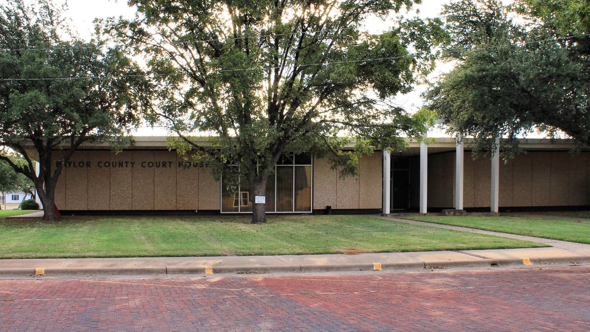
Photo: Wikipedia
Strategic Assessment of Baylor County
Strong survivability profile. Good buffer from population centers, with manageable environmental and tactical risks.
What does the Strategic Assessment tell us?
Our Strategic Assessment grades tactical survivability of an area. Major population centers, military targets, fallout zones, natural disasters, and border exposure all drive risk — lower exposure means a more defensible position in a crisis.
This is heavily inspired by Joel Skousen's Strategic Relocation book. Highly recommended you checkout the book ($)What does this tell us?
Our Strategic Assessment grades tactical survivability of an area. Major population centers, military targets, fallout zones, natural disasters, and border exposure all drive risk — lower exposure means a more defensible position in a crisis.
This is heavily inspired by Joel Skousen's Strategic Relocation book. Highly recommended you checkout the book ($)Strategic Pillars

Key Distances
Strategic Assessment Analysis
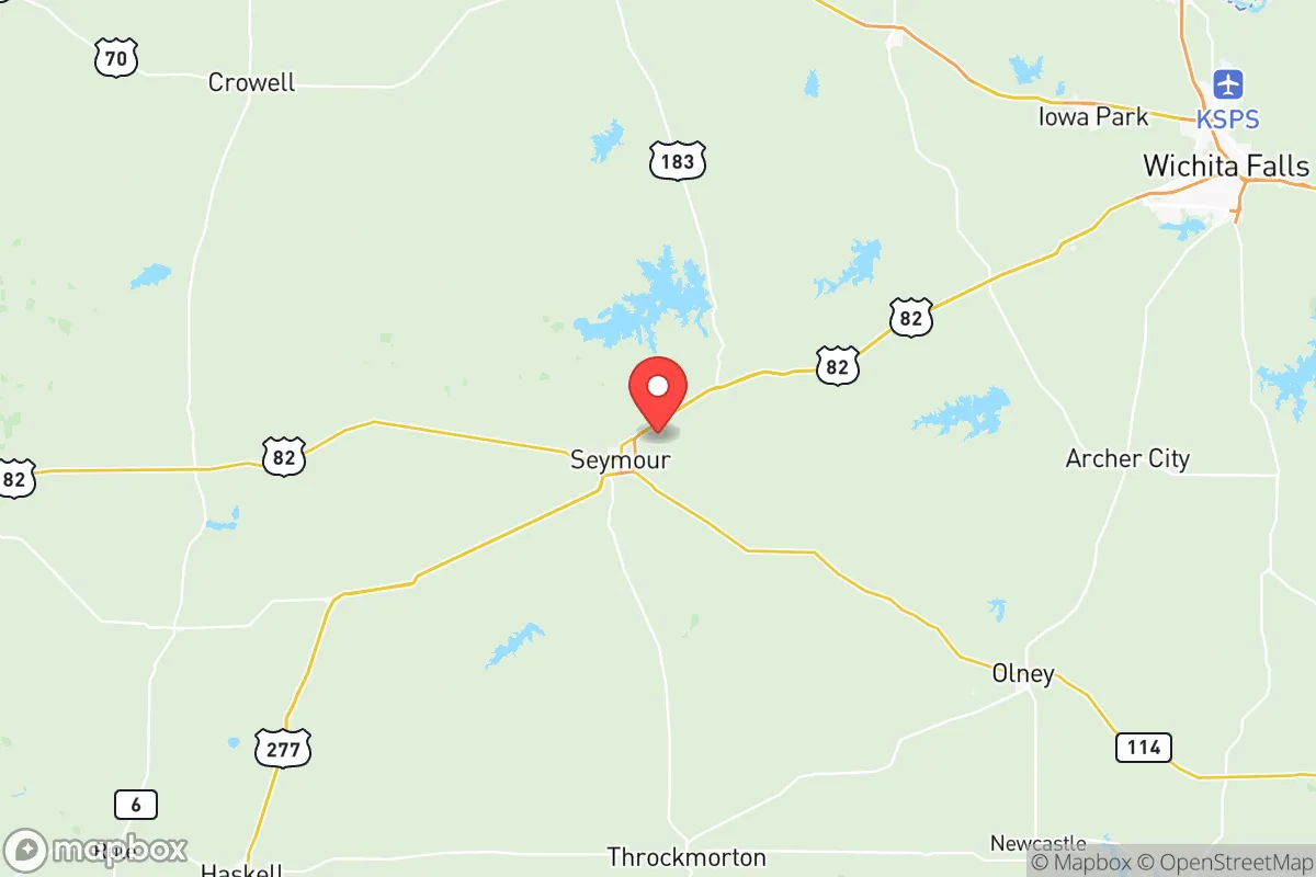
Baylor County, Texas, offers a compelling strategic profile for relocators prioritizing resilience and self-sufficiency, anchored by its remote location in the rolling plains north of Abilene. The county seat, Seymour, sits roughly 80 miles from the Wichita Falls metro area and over 120 miles from the Dallas-Fort Worth urban core, placing it well outside the immediate fallout zones of major population centers while remaining within a practical day's drive of supplies and specialized services. This balance of isolation and accessibility, combined with low population density—roughly 3,500 residents spread across 900 square miles—creates a defensible, low-profile environment that appeals to those serious about disaster readiness.
Geographic position and natural advantages for long-term security
Baylor County's position in north-central Texas provides several inherent strategic benefits. The area sits atop the Seymour Aquifer, a reliable groundwater source that supports local agriculture and offers a viable water supply for well-dependent properties. The Brazos River, which forms the county's southern boundary, and the Wichita River, which runs through Seymour, provide additional surface water options, though access is often restricted by private land ownership. The terrain is gently rolling prairie with scattered mesquite and oak, offering good visibility and limited cover for potential threats. The climate is semi-arid, with hot summers and cold winters, but the region avoids the worst of hurricane storm surge and coastal flooding. The nearest major military installation, Sheppard Air Force Base in Wichita Falls, is roughly 80 miles north, while the massive Fort Cavazos (formerly Fort Hood) is over 150 miles south—close enough for potential support networks but far enough to avoid being a primary target in a conflict scenario.
Risk exposure and proximity to fallout-relevant landmarks
While Baylor County's remoteness is a strength, it is not immune to risks. The county lies within Tornado Alley, and severe weather—including tornadoes, hailstorms, and flash flooding—is a seasonal reality. The 1979 Seymour tornado remains a local reference point for destructive potential. Wildfire risk is moderate, particularly during drought years when dry grasses and brush can fuel fast-moving grass fires. On the man-made risk side, the county's distance from major industrial targets is a net positive. The nearest significant refinery is the Valero facility in Wichita Falls, roughly 80 miles north, while the massive petrochemical complex around Houston is over 350 miles southeast. The Pantex nuclear weapons plant near Amarillo is about 150 miles northwest, and the Comanche Peak nuclear power plant near Glen Rose is roughly 150 miles southeast. None of these are close enough to pose a direct fallout hazard under most scenarios, but a major event at Pantex or a high-altitude nuclear detonation over a major city could still produce measurable fallout depending on wind patterns. The county's low population density also means fewer targets for organized looting or civil unrest, though the small-town social fabric can be a double-edged sword—outsiders may face scrutiny, and local law enforcement resources are limited (the Baylor County Sheriff's Office typically has fewer than a dozen deputies on duty).
Practical resilience for a relocator: food, water, energy, and defensibility
For a relocator serious about self-sufficiency, Baylor County offers a mixed but workable picture. Water is the most critical resource: the Seymour Aquifer provides reliable groundwater at depths of 100-300 feet, and many rural properties already have wells. Surface water from the Brazos and Wichita rivers is available but requires legal access and treatment. Food production is feasible, with fertile soils supporting cattle ranching, hay production, and small-scale row crops like wheat and cotton. Local farmers' markets in Seymour and nearby Munday offer seasonal produce, but year-round food security requires significant personal investment in gardening, livestock, and food storage. Energy is a mixed bag: the county is served by the Brazos Electric Power Cooperative, which has a history of reliability but is vulnerable to grid-wide failures (as seen in the 2021 winter storm). Solar and wind potential is excellent—the area averages over 260 sunny days per year and has consistent wind speeds of 12-15 mph—making off-grid renewable energy a viable option. Defensibility is strong due to low population density, open terrain, and a culture of firearm ownership. The county has no major police or military presence, but the local sheriff's office and volunteer fire departments are well-regarded. The nearest hospital is in Seymour (Baylor County Hospital, a critical access facility with limited emergency capabilities), while major trauma centers are in Wichita Falls (80 miles) or Abilene (90 miles). For those willing to invest in infrastructure—well drilling, solar panels, food storage, and home security—Baylor County provides a solid foundation for long-term resilience.
The overall strategic picture for Baylor County is one of moderate risk and high potential for those who prepare. Its remoteness from major cities, military bases, and industrial targets reduces exposure to the most catastrophic scenarios, while its natural resources—water, soil, sun, and wind—offer a viable path to self-sufficiency. The trade-offs are real: limited healthcare, sparse local services, and a climate that demands respect for severe weather. For a relocator who values quiet, space, and the ability to control their own food and energy systems, Baylor County represents a defensible, low-profile option in the Texas plains. It is not a bug-out location for the unprepared, but for those willing to put in the work, it offers a realistic foundation for a resilient, self-reliant life.

* Values derived from national, state, county, city and local statistics and may differ in a specific area. Last updated: 2026-10-27T22:07:24.000Z
Narrative content on this page is AI-generated and may contain mistakes. Verify any details that matter before acting on them.
ReloMaps may earn a commission from affiliate links at no extra cost to you.

