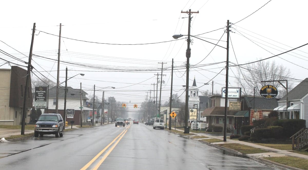
Photo: Wikipedia
Strategic Assessment of Temperance, MI
Workable tactical position. Some exposure to population density or targets, but generally defensible in a crisis.
What does the Strategic Assessment tell us?
Our Strategic Assessment grades tactical survivability of an area. Major population centers, military targets, fallout zones, natural disasters, and border exposure all drive risk — lower exposure means a more defensible position in a crisis.
This is heavily inspired by Joel Skousen's Strategic Relocation book. Highly recommended you checkout the book ($)What does this tell us?
Our Strategic Assessment grades tactical survivability of an area. Major population centers, military targets, fallout zones, natural disasters, and border exposure all drive risk — lower exposure means a more defensible position in a crisis.
This is heavily inspired by Joel Skousen's Strategic Relocation book. Highly recommended you checkout the book ($)Strategic Pillars

Key Distances
Regional Safe Places
Below is our recommended "safe zones" in Michigan and the surrounding area based on our strategic heuristics. For most people, it's unrealistic to live in a “safe zone” full-time due to work, family or other personal reasons. They tend to be more rural. However, many of these areas are perfect for second homes and retreat properties that double as a vacation home or even a short-term rental.


Important Note: For informational purposes only. This does not mean nothing bad ever happens in the green zones. Please use common sense. This is based on public data and modeled with AI. We tried to take a conservative approach but mistakes happen. We update this regularly as new information becomes available.
Solar Generator Recommendations
Backup power matters more here than in safer locations. We've picked three solar generators across budgets and capacity tiers — start with the budget unit if you only need a few essentials, or step up if you want to run a fridge and HVAC for days at a time.

Jackery Portable Power Station Explorer 300
Budget OptionPower on the Go: Weighing only 11 lbs, it's convenient to set up and store with book-sized foldable solar panels

BLUETTI Portable Power Station AC180
Designed for both indoor and outdoor scenarios, AC180 is highly capable as it has a robost capacity and continuous output power.

EF ECOFLOW DELTA Pro Ultra Power Station
Upgraded PickEcoFlow DELTA Pro Ultra is a whole-home energy system designed to grow with your family. Integrated with the Smart Home Panel 2, it scales to meet your evolving energy needs — keeping your home powered, intelligent, and secure through every stage of life.
We earn a commission, at no additional cost to you.
Strategic Assessment Analysis
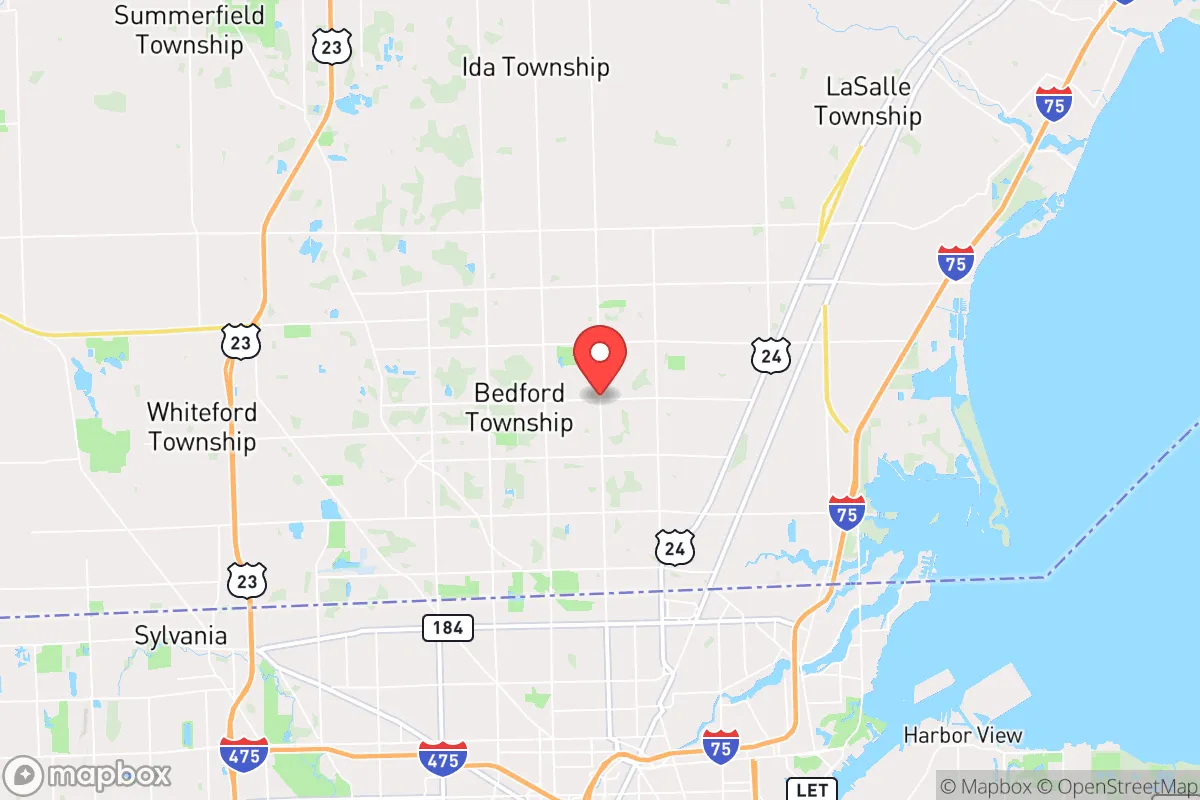
Temperance, Michigan, occupies a strategic position in the far southeastern corner of the state, directly abutting the Ohio border and just a few miles from Lake Erie. For a relocator prioritizing disaster readiness and self-sufficiency, this location offers a mixed bag: genuine natural advantages in water access and agricultural land, but also significant exposure to the risks that come with proximity to major urban and industrial centers. The area’s resilience profile is defined less by its own vulnerabilities and more by its uncomfortable closeness to Toledo, Detroit, and the concentrated infrastructure of the Rust Belt, making it a location that demands careful, proactive planning rather than passive confidence.
Geographic position and natural advantages for long-term stability
Temperance sits on the western edge of the Lake Erie basin, a region defined by flat, fertile plains and abundant surface water. The area’s primary geographic asset is its access to the Great Lakes, specifically Lake Erie, which provides an essentially limitless freshwater source—a critical factor for any long-term resilience strategy. The Maumee River, which empties into Lake Erie just to the south near Toledo, also offers a secondary waterway and potential transportation corridor. The local topography is remarkably flat, with deep, rich soils that historically supported intensive agriculture; this means that for a relocator with land, the potential for food production is high, with a long growing season relative to northern Michigan. The region is also far from active seismic zones, major fault lines, or volcanic activity, and while tornadoes are a seasonal risk, the area lacks the extreme weather frequency of the Great Plains. The climate is temperate, with cold winters and warm, humid summers, but it does not face the same wildfire or drought risks as the western United States. For a family looking to establish a self-sufficient homestead, the combination of fertile soil, reliable rainfall, and proximity to the largest freshwater system on Earth is a genuine strategic advantage.
Risks, exposures, and proximity to fallout-relevant landmarks
The most significant vulnerability for Temperance is its location within a densely populated and heavily industrialized corridor. The town is roughly 10 miles north of Toledo, Ohio, a major Great Lakes port and industrial hub, and about 45 miles south of Detroit. This proximity to two major metropolitan areas introduces several layered risks. First, in the event of a large-scale natural disaster, pandemic, or economic collapse, Temperance would likely experience significant population displacement from these cities, straining local resources and infrastructure. Second, and more critically for a strategic assessment, the area lies within the shadow of several high-consequence man-made risks. The Davis-Besse Nuclear Power Station, located about 30 miles southeast near Oak Harbor, Ohio, is a single-unit pressurized water reactor that has a history of operational issues, including a near-miss with a major coolant leak in 2002. The Fermi 2 Nuclear Power Plant is roughly 25 miles northeast, near Monroe, Michigan. While both plants have safety protocols, a major incident at either would place Temperance within a potential evacuation or fallout zone, depending on wind patterns. Additionally, the region is crisscrossed by major rail lines and pipelines carrying hazardous materials, including crude oil and natural gas liquids from the Bakken and Marcellus formations. The presence of the Enbridge Line 5 pipeline in the Straits of Mackinac is a well-known risk, but the more immediate concern for Temperance is the concentration of refineries and chemical plants along the Lake Erie shoreline near Toledo and Monroe. For a relocator concerned with fallout from industrial accidents, terrorism, or wartime targeting, this is not a low-risk zone.
Practical resilience for a relocator: food, water, energy, and defensibility
On the practical side, Temperance offers some genuine strengths for self-sufficiency, but also notable weaknesses. Water is the area’s strongest card: the shallow groundwater table is generally accessible via private wells, and Lake Erie is a massive, reliable surface source. However, water quality is a concern—agricultural runoff and legacy industrial pollution have contributed to harmful algal blooms in the western Lake Erie basin, particularly in summer. A well-maintained well with a proper filtration system is essential, and any surface water intake would require robust treatment. Food production is viable: the surrounding Monroe County is agricultural, with corn, soybeans, and wheat as primary crops. A relocator with acreage could establish gardens, orchards, and small livestock operations with relative ease. Local farmers’ markets and the proximity to Ohio’s agricultural output provide backup options, but reliance on industrial supply chains is a vulnerability. Energy is a mixed picture: the grid is stable under normal conditions, but the area is served by DTE Energy and Toledo Edison, both of which are part of the larger Eastern Interconnection. A grid-down scenario would require backup generation, and solar potential is moderate—the region receives about 4.5 peak sun hours per day, less than the Southwest but workable with adequate panel capacity. Wood heating is feasible given the surrounding woodlands, but the area is not heavily forested like northern Michigan. Defensibility is the weakest point: Temperance is flat, open, and crisscrossed by major highways (I-75, US-24, and I-280). There are no natural chokepoints, hills, or dense forests to provide cover or concealment. The town itself is a typical suburban bedroom community with a grid-like street pattern, making it difficult to secure against a determined threat. For a relocator seeking a truly defensible property, the lack of terrain advantage is a significant drawback.
The overall strategic picture for Temperance is one of calculated trade-offs. It offers genuine natural advantages in water and agricultural potential that are rare in the Midwest, and its location on the Great Lakes provides a buffer against some of the worst climate extremes. However, these benefits are offset by the area’s uncomfortable proximity to major urban centers, industrial infrastructure, and nuclear power plants. For a relocator who is willing to invest in robust water filtration, backup power, and a well-stocked pantry, and who understands the risks of being near a major population corridor, Temperance can be a viable base for a resilient lifestyle. But it is not a remote retreat. It is a suburban outpost on the edge of a volatile region, and its resilience depends entirely on the preparedness of the individual, not the inherent safety of the location. If you are looking for a place where you can hunker down and be left alone, look farther north. If you want a place with good soil and water, and you are willing to manage the risks of being near the city, Temperance deserves a careful look—but only with eyes wide open.

* Values derived from national, state, county, city and local statistics and may differ in a specific area. Last updated: 2026-11-19T10:04:15.000Z
Narrative content on this page is AI-generated and may contain mistakes. Verify any details that matter before acting on them.
ReloMaps may earn a commission from affiliate links at no extra cost to you.

