Photo: Wikipedia
Demographics of Sperryville, VA
Affluence Level in Sperryville, VA
An upper-middle-class area. Household wealth, education levels, and homeownership run ahead of national benchmarks.
People of Sperryville, VA
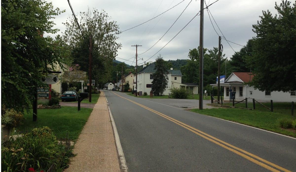
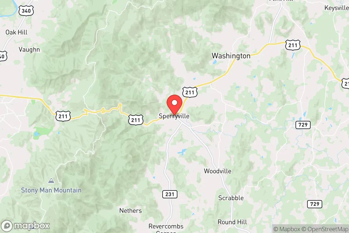
The 364 residents of Sperryville, Virginia, today form a remarkably homogeneous community: 100% White, with zero foreign-born residents and no recorded Hispanic, Black, Asian, or Indian populations. This small Rappahannock County village, nestled at the foot of the Blue Ridge Mountains, retains a distinctly rural, Appalachian character shaped by centuries of Anglo-American settlement and minimal in-migration from outside the region. The population is older than the national median, with a college attainment rate of 22.4%, reflecting a community built on farming, small-scale trade, and proximity to Shenandoah National Park rather than professional or tech-driven economies.
How the city was settled and grew
Sperryville’s human history begins with the colonial frontier. The area was originally inhabited by Siouan-speaking tribes such as the Manahoac, but by the mid-1700s, European settlers—primarily of English, Scots-Irish, and German descent—had pushed into the Rappahannock Valley via land grants from Lord Fairfax. The village itself was formally established in the early 19th century around a gristmill and a crossroads trading post, named after a local merchant family. The original population clustered in what is now Main Street Historic District, where stone and log structures housed merchants, millers, and farmers who supplied the surrounding agricultural hinterland. A second early node was Hazel River Bottom, where mill workers and tenant farmers lived in modest frame houses along the river floodplain. The arrival of the railroad in the 1850s briefly spurred growth, but Sperryville remained a sleepy market town serving apple orchards, cattle farms, and timber operations. No significant immigrant waves arrived during the 19th or early 20th centuries; the population remained overwhelmingly native-born White, with a handful of Black families working as farm laborers or domestic servants—a pattern that persisted through the Great Depression and World War II.
Modern era (post-1965)
The post-1965 era brought no demographic transformation to Sperryville. Unlike many Virginia towns that saw suburbanization or new immigrant communities after the Hart-Cellar Act, Sperryville’s isolation in the rural northern Piedmont and its lack of major employers kept it off the migration map. The 1970s and 1980s saw a modest influx of retirees and second-home buyers drawn to the scenic beauty of the Blue Ridge foothills, settling in newer subdivisions such as Thornton Gap Estates and Mount Marshall Meadows. These newcomers were overwhelmingly White and middle-class, often from the Washington, D.C., metro area, seeking weekend retreats or retirement homes. Meanwhile, the historic core—Main Street Historic District and Hazel River Bottom—continued to house long-established local families, many of whom had lived in the area for generations. The Black population, never large, dwindled to zero by the 1990s as younger residents left for urban job markets. The Hispanic population, which grew in many rural Virginia towns during the 2000s, never materialized in Sperryville; the village lacks the agricultural labor demand or processing plants that attract Latino workers elsewhere in the Shenandoah Valley. As of the most recent data, the population remains 100% White, with zero foreign-born residents—a demographic profile increasingly rare in 21st-century Virginia.
The future
Sperryville’s population is likely to remain small, White, and aging over the next 10–20 years. The village has no major employment base to attract younger or more diverse residents; the local economy relies on tourism (antique shops, wineries, and access to Shenandoah National Park) and a handful of service-sector jobs. New development is concentrated in Rappahannock County Park vicinity and along U.S. Route 211, where a few small subdivisions and vacation rentals have been built, but these attract the same demographic profile: White, older, and often affluent second-home buyers. The school-age population is shrinking, and the median age is rising. There is no indication of significant Hispanic, Asian, or Indian in-migration on the horizon, as the area lacks the housing stock, employment, or social infrastructure to draw these groups. The cultural identity of Sperryville is likely to remain rooted in its Appalachian and rural Virginia heritage, with a growing tension between long-time locals and newer, wealthier residents from the D.C. exurbs—a dynamic common across the Blue Ridge region.
For someone moving to Sperryville today, the village offers a stable, culturally homogeneous environment with deep local roots and a strong sense of place. The population is not becoming more diverse or younger; it is slowly contracting and aging. Newcomers should expect a community where nearly everyone shares a similar background, where change comes slowly, and where the social fabric is built on generations of familiarity rather than on ethnic or cultural pluralism. This is a place for those seeking quiet, tradition, and the rhythms of rural Virginia—not for those looking for demographic dynamism or multicultural vibrancy.

* Values derived from national, state, county, city and local statistics and may differ in a specific area. Last updated: 2026-09-14T21:51:44.000Z
Narrative content on this page is AI-generated and may contain mistakes. Verify any details that matter before acting on them.
ReloMaps may earn a commission from affiliate links at no extra cost to you.

