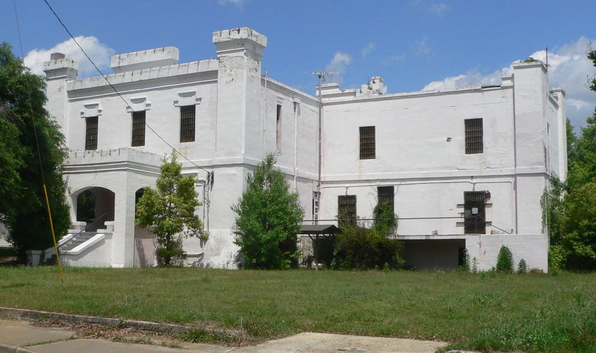
Photo: Wikipedia
Strategic Assessment of Orangeburg County
Workable tactical position. Some exposure to population density or targets, but generally defensible in a crisis.
What does the Strategic Assessment tell us?
Our Strategic Assessment grades tactical survivability of an area. Major population centers, military targets, fallout zones, natural disasters, and border exposure all drive risk — lower exposure means a more defensible position in a crisis.
This is heavily inspired by Joel Skousen's Strategic Relocation book. Highly recommended you checkout the book ($)What does this tell us?
Our Strategic Assessment grades tactical survivability of an area. Major population centers, military targets, fallout zones, natural disasters, and border exposure all drive risk — lower exposure means a more defensible position in a crisis.
This is heavily inspired by Joel Skousen's Strategic Relocation book. Highly recommended you checkout the book ($)Strategic Pillars

Key Distances
Strategic Assessment Analysis
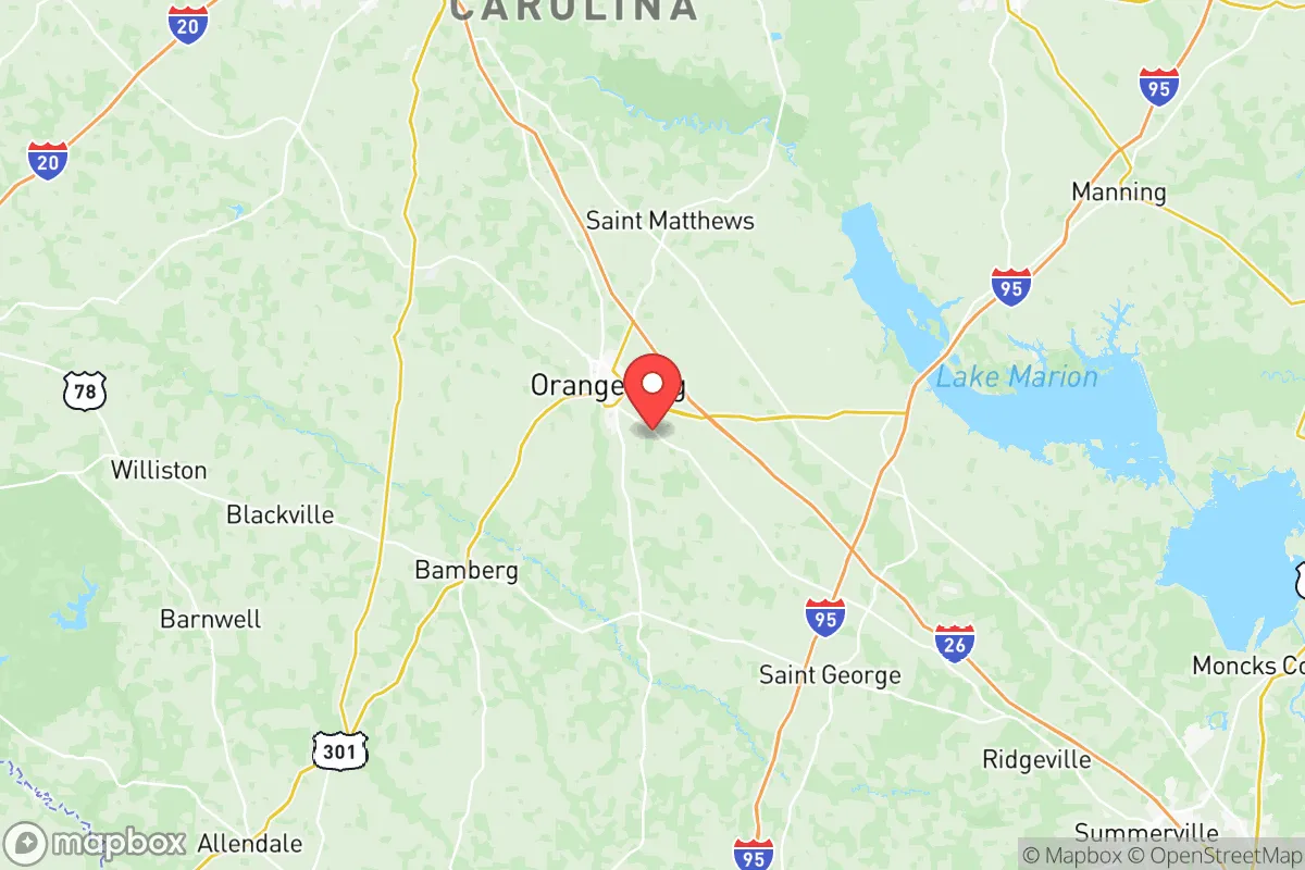
Orangeburg County, South Carolina, occupies a strategic middle ground in the southeastern corridor, offering a blend of rural buffer and logistical access that appeals to relocation-minded individuals prioritizing resilience and self-sufficiency. Positioned roughly midway between Columbia and Charleston, the county provides a meaningful distance from major metropolitan centers while retaining practical connectivity via Interstates 26 and 95. For a reader assessing disaster readiness and long-term stability, Orangeburg County presents a mixed but generally favorable picture: low population density, significant agricultural capacity, and a location that avoids the most acute fallout risks of coastal or heavy-industrial zones, though it is not without its own exposures.
Geographic position and natural advantages for long-term stability
Orangeburg County’s geography is defined by its inland position within South Carolina’s Coastal Plain, roughly 70 miles from the Atlantic coast. This distance provides a meaningful buffer against hurricane storm surge and the most severe coastal flooding, though the area remains vulnerable to inland flooding and tropical storm winds. The county is bisected by the Edisto River and its tributaries, including the North Fork Edisto and the Santee River system, which offer substantial freshwater resources for a relocator considering long-term water security. The terrain is generally flat to gently rolling, with sandy loam soils that support extensive agriculture — the county is a leading producer of soybeans, corn, and timber in the state. The presence of the Santee National Wildlife Refuge and the Francis Marion National Forest to the east adds a layer of natural buffer and resource availability. For a reader weighing geographic defensibility, Orangeburg County’s interior location, away from the immediate coastline and the concentrated industrial corridors of Charleston and the Savannah River Site, offers a reasonable balance of access and separation.
Risk exposure and proximity to fallout-relevant landmarks
While Orangeburg County avoids the highest-risk zones, it is not immune to man-made and natural hazards that matter in a resilience assessment. The most significant nearby fallout-relevant landmark is the Savannah River Site (SRS), a nuclear reservation located roughly 50 miles southwest in Aiken and Barnwell counties. SRS has a history of nuclear materials production and waste storage; while its current risk profile is managed, its presence is a factor for a relocator concerned with long-term industrial accident or targeted disruption scenarios. Closer to home, the county contains the Orangeburg Regional Medical Center and several industrial facilities along the I-26 corridor, including a Continental Tire plant and a Georgia-Pacific paper mill in nearby Harleyville. These are not high-consequence targets on the scale of a major refinery or military base, but they represent localized risk zones. The county is also crossed by major rail lines and natural gas pipelines, which are routine infrastructure but could become secondary hazards in a broader disruption. Natural disaster exposure includes inland flooding from tropical systems — Hurricane Matthew in 2016 and Hurricane Florence in 2018 both caused significant flooding in the Edisto River basin — and the occasional tornado. The county’s wildfire risk is low relative to the western U.S., but dry-season brush fires are a periodic concern in rural timberland areas.
Practical resilience for a relocator: food, water, energy, and defensibility
For a reader serious about self-sufficiency, Orangeburg County offers strong fundamentals in food and water security. The county’s agricultural base means local access to fresh produce, livestock, and timber is realistic, with numerous farms and roadside markets operating in towns like Orangeburg, Bowman, and Holly Hill. The Edisto River system provides a reliable surface water source, and groundwater is generally accessible via wells in most rural areas, though well depth and yield vary by location. Energy infrastructure is typical for a rural Southern county: Duke Energy and Santee Cooper supply the grid, with a mix of natural gas, coal, and nuclear power from the nearby Virgil C. Summer Nuclear Station in Fairfield County, about 60 miles northwest. For off-grid or backup energy, solar potential is moderate — the region receives about 215 sunny days per year, slightly below the national average but sufficient for supplemental solar with battery storage. Defensibility is a mixed picture: the county’s low population density (roughly 86,000 residents across 1,128 square miles) and dispersed settlement pattern make it less attractive as a target and easier to secure a rural homestead. However, the flat, open terrain offers limited natural cover, and the county’s road network — while adequate — could become chokepoint-dependent in a crisis, particularly along the I-26 and I-95 corridors. The presence of South Carolina State University and the Orangeburg County Sheriff’s Office provides institutional anchors, but law enforcement response times in remote areas can be long. A relocator should prioritize properties with good water access, defensible perimeter, and proximity to local food sources rather than relying on county-wide infrastructure.
Overall, Orangeburg County presents a credible option for the resilience-minded relocator who wants inland positioning, agricultural self-sufficiency, and meaningful distance from the highest-risk coastal and industrial zones, while accepting moderate exposure to inland flooding and the distant but real presence of the Savannah River Site. It is not a hardened bunker location, but for a family or individual seeking a balanced, livable base with room to grow food, access water, and maintain a low profile, it warrants serious consideration. The key is to choose a specific property — ideally near the Edisto River or in the less-developed northern and eastern parts of the county — rather than assuming uniform safety across the entire area. Orangeburg County rewards preparation and local knowledge, not passive relocation.

* Values derived from national, state, county, city and local statistics and may differ in a specific area. Last updated: 2026-08-08T12:01:26.000Z
Narrative content on this page is AI-generated and may contain mistakes. Verify any details that matter before acting on them.
ReloMaps may earn a commission from affiliate links at no extra cost to you.

