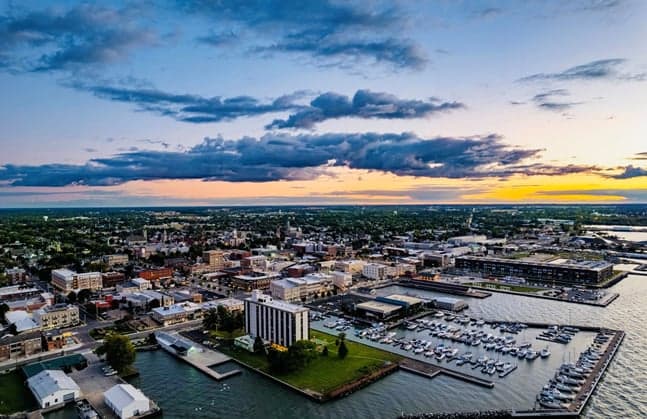
Photo: Wikipedia
Strategic Assessment of Sandusky, OH
Meaningful friction. Expect exposure to either population pressure, blast zones, or natural disaster risk. Consider buying a retreat property.
What does the Strategic Assessment tell us?
Our Strategic Assessment grades tactical survivability of an area. Major population centers, military targets, fallout zones, natural disasters, and border exposure all drive risk — lower exposure means a more defensible position in a crisis.
This is heavily inspired by Joel Skousen's Strategic Relocation book. Highly recommended you checkout the book ($)What does this tell us?
Our Strategic Assessment grades tactical survivability of an area. Major population centers, military targets, fallout zones, natural disasters, and border exposure all drive risk — lower exposure means a more defensible position in a crisis.
This is heavily inspired by Joel Skousen's Strategic Relocation book. Highly recommended you checkout the book ($)Strategic Pillars

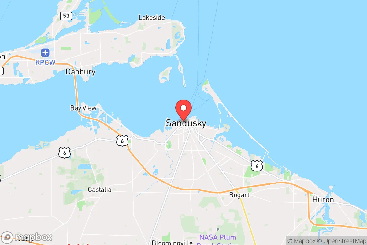
Key Distances
Regional Safe Places
Below is our recommended "safe zones" in Ohio and the surrounding area based on our strategic heuristics. For most people, it's unrealistic to live in a “safe zone” full-time due to work, family or other personal reasons. They tend to be more rural. However, many of these areas are perfect for second homes and retreat properties that double as a vacation home or even a short-term rental.

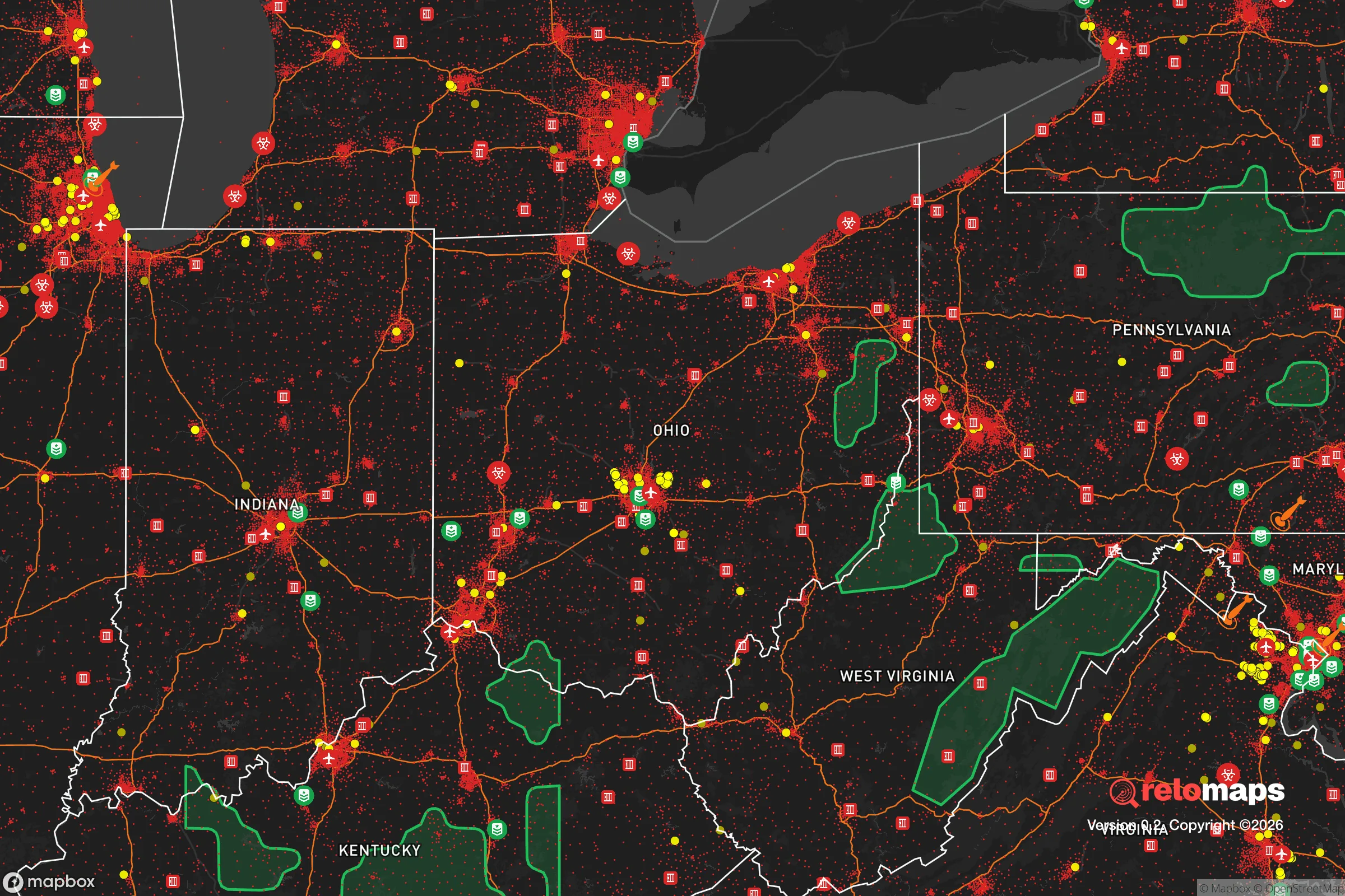


Important Note: For informational purposes only. This does not mean nothing bad ever happens in the green zones. Please use common sense. This is based on public data and modeled with AI. We tried to take a conservative approach but mistakes happen. We update this regularly as new information becomes available.
Solar Generator Recommendations
Backup power matters more here than in safer locations. We've picked three solar generators across budgets and capacity tiers — start with the budget unit if you only need a few essentials, or step up if you want to run a fridge and HVAC for days at a time.

Jackery Portable Power Station Explorer 300
Budget OptionPower on the Go: Weighing only 11 lbs, it's convenient to set up and store with book-sized foldable solar panels

BLUETTI Portable Power Station AC180
Designed for both indoor and outdoor scenarios, AC180 is highly capable as it has a robost capacity and continuous output power.

EF ECOFLOW DELTA Pro Ultra Power Station
Upgraded PickEcoFlow DELTA Pro Ultra is a whole-home energy system designed to grow with your family. Integrated with the Smart Home Panel 2, it scales to meet your evolving energy needs — keeping your home powered, intelligent, and secure through every stage of life.
We earn a commission, at no additional cost to you.
Strategic Assessment Analysis
Sandusky, Ohio, sits in a position that is far more strategically interesting than its modest size suggests, offering a blend of Great Lakes advantages and Midwestern practicality that appeals to those thinking about long-term stability. For a relocator weighing disaster readiness and self-sufficiency, the city presents a workable balance: it is close enough to major employment and supply chains to remain economically viable, yet far enough from the densest urban corridors to avoid the worst of their fragility. The real question is not whether Sandusky is immune to disruption—no place is—but whether its specific mix of geography, infrastructure, and community character gives you a fighting chance when things go sideways.
Geographic position and natural advantages for long-term stability
The defining feature of Sandusky is its position on the southern shore of Lake Erie, which provides a moderating effect on temperature extremes and, more importantly, a massive, reliable freshwater resource. In a resilience context, access to the sixth-largest lake in the world is a strategic asset that most inland communities simply cannot match. The lake also serves as a natural barrier to the north, reducing the avenues of approach for any regional disruption and giving the area a degree of inherent defensibility that flat, open terrain lacks. The surrounding Erie County is predominantly agricultural, which means the land itself is productive and capable of supporting food systems beyond what grocery store shelves provide.
The city's location relative to larger population centers is a double-edged sword, but for the resilience-minded, it leans positive. Sandusky sits roughly 60 miles west of Cleveland and about 60 miles southeast of Toledo, placing it outside the immediate blast or fallout zones of those major metros while still allowing access to their hospitals, airports, and specialized services during normal times. The Ohio Turnpike (I-80/90) runs just south of the city, providing a high-capacity east-west evacuation and supply route, while US-250 and State Route 2 offer north-south connectivity. This positions Sandusky as a potential staging area rather than a primary target—close enough to matter, far enough to survive.
Risks, exposures, and proximity to fallout-relevant landmarks
No honest assessment can ignore the vulnerabilities. The most significant man-made risk in the region is the Davis-Besse Nuclear Power Station, located roughly 20 miles east of Sandusky on the Lake Erie shore. While the plant has operated for decades with a generally acceptable safety record, its presence means that a worst-case scenario—however unlikely—would place Sandusky within the plume exposure pathway. The prevailing westerly winds in this region typically carry any release away from the city, but wind shifts are unpredictable, and the evacuation routes along the lake would be congested in such an event. This is a risk to acknowledge, not to panic over, but it does mean that a truly prepared household should have potassium iodide on hand and a clear plan for heading south, not east.
Natural hazards in the Sandusky area are comparatively mild but not absent. The primary weather threat is severe lake-effect snow in winter, which can dump several feet of snow in a matter of days and temporarily isolate rural areas. The region also sits within the broader Tornado Alley fringe, and while tornadoes are less frequent here than in the Plains, they do occur—Erie County has seen several EF-2 and EF-3 events in recent decades. Flooding is a localized concern along the lake shore and the Huron River, particularly during rapid spring thaws or intense summer storms. None of these are civilization-ending events, but they are the kind of disruptions that test local infrastructure and personal preparedness. The broader regional risk picture includes the concentration of chemical and refining facilities along the Lake Erie shoreline between Toledo and Cleveland; a major industrial accident at any of these could affect air quality and require temporary evacuation.
Practical resilience for a relocator: food, water, energy, and defensibility
For the individual or family serious about self-sufficiency, Sandusky offers a surprisingly solid foundation. The water situation is the standout: the city draws its municipal supply directly from Lake Erie, and the lake itself provides an essentially inexhaustible source for those who invest in simple filtration or purification systems. A household with a basic Berkey filter or a few cases of stored water is already ahead of the vast majority of the country. The agricultural character of Erie County means that local food production is robust, with numerous farms, orchards, and markets within a 15-minute drive of downtown. The Cedar Point peninsula and the surrounding lakefront areas also support significant fishing, adding a protein source that requires no supply chain.
Energy resilience is more of a mixed picture. The regional grid is reliable under normal conditions, but winter storms have caused notable outages in recent years, and the aging infrastructure is not improving. Natural gas is the dominant heating fuel in the area, which is a vulnerability if pipelines are disrupted, but it also means that a simple generator and a few space heaters can keep a home livable through most outages. Solar potential in northern Ohio is moderate—roughly 15-20% less productive than the Southwest—but still viable for offsetting grid dependence, particularly with net metering policies that remain in place at the state level. Wood heating is a practical supplement given the surrounding forested areas, and the lake itself provides a natural heat sink for those considering geothermal options.
Defensibility is where Sandusky's geography shines. The city's core is compact and walkable, with the lake to the north providing a natural boundary. The major roadways funnel traffic through a limited number of choke points, which is a disadvantage for rapid evacuation but an advantage for controlling access during a prolonged disruption. The surrounding rural areas offer numerous properties with good sightlines and multiple egress routes, and the local culture—rooted in farming, manufacturing, and outdoor recreation—leans toward self-reliance rather than dependence on government services. The presence of Cedar Point, a major employer, also means that the local economy is accustomed to handling large influxes of people and managing logistics at scale, which translates into better-than-average infrastructure for a city of roughly 25,000 residents.
The overall strategic picture for Sandusky is one of quiet competence. It lacks the dramatic mountain barriers or desert isolation that some relocation guides romanticize, but it offers something more practical: a stable, moderate climate, abundant fresh water, productive farmland, and a location that is neither a prime target nor hopelessly remote. The Davis-Besse plant is the one factor that gives a thoughtful analyst pause, and it should be weighed honestly against the area's many strengths. For a family that wants to be prepared without living in a bunker, Sandusky provides a realistic middle path—a place where the infrastructure is solid, the community is grounded, and the lake is always there as both a resource and a reminder that resilience is about working with what you have, not escaping from what you fear.

* Values derived from national, state, county, city and local statistics and may differ in a specific area. Last updated: 2026-10-13T01:05:46.000Z
Narrative content on this page is AI-generated and may contain mistakes. Verify any details that matter before acting on them.
ReloMaps may earn a commission from affiliate links at no extra cost to you.

