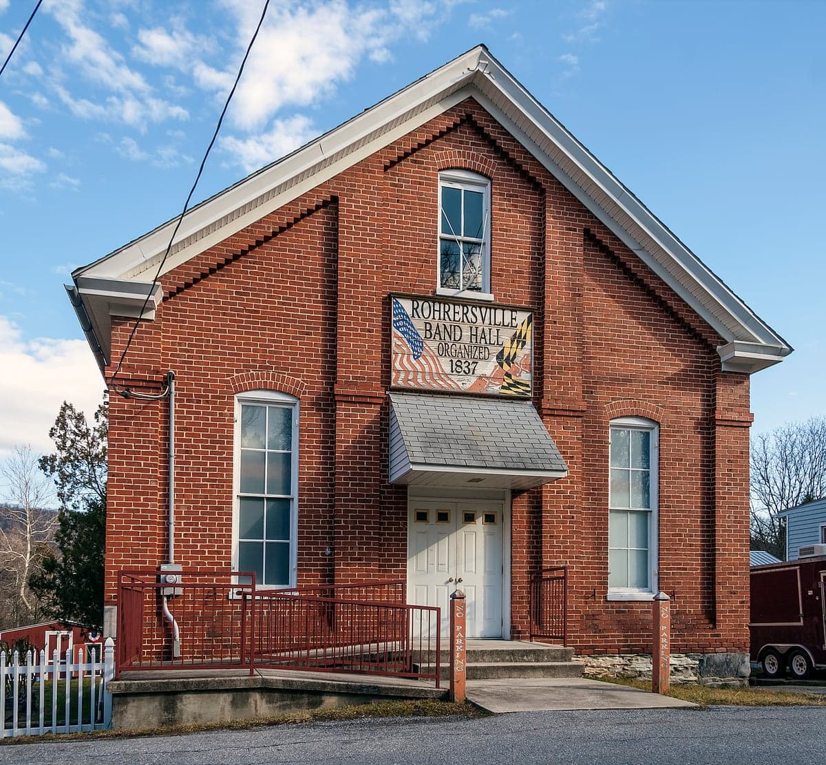
Photo: Wikipedia
Strategic Assessment of Rohrersville, MD
Workable tactical position. Some exposure to population density or targets, but generally defensible in a crisis.
What does the Strategic Assessment tell us?
Our Strategic Assessment grades tactical survivability of an area. Major population centers, military targets, fallout zones, natural disasters, and border exposure all drive risk — lower exposure means a more defensible position in a crisis.
This is heavily inspired by Joel Skousen's Strategic Relocation book. Highly recommended you checkout the book ($)What does this tell us?
Our Strategic Assessment grades tactical survivability of an area. Major population centers, military targets, fallout zones, natural disasters, and border exposure all drive risk — lower exposure means a more defensible position in a crisis.
This is heavily inspired by Joel Skousen's Strategic Relocation book. Highly recommended you checkout the book ($)Strategic Pillars

Key Distances
Regional Safe Places
Below is our recommended "safe zones" in Maryland and the surrounding area based on our strategic heuristics. For most people, it's unrealistic to live in a “safe zone” full-time due to work, family or other personal reasons. They tend to be more rural. However, many of these areas are perfect for second homes and retreat properties that double as a vacation home or even a short-term rental.




Important Note: For informational purposes only. This does not mean nothing bad ever happens in the green zones. Please use common sense. This is based on public data and modeled with AI. We tried to take a conservative approach but mistakes happen. We update this regularly as new information becomes available.
Solar Generator Recommendations
Backup power matters more here than in safer locations. We've picked three solar generators across budgets and capacity tiers — start with the budget unit if you only need a few essentials, or step up if you want to run a fridge and HVAC for days at a time.

Jackery Portable Power Station Explorer 300
Budget OptionPower on the Go: Weighing only 11 lbs, it's convenient to set up and store with book-sized foldable solar panels

BLUETTI Portable Power Station AC180
Designed for both indoor and outdoor scenarios, AC180 is highly capable as it has a robost capacity and continuous output power.

EF ECOFLOW DELTA Pro Ultra Power Station
Upgraded PickEcoFlow DELTA Pro Ultra is a whole-home energy system designed to grow with your family. Integrated with the Smart Home Panel 2, it scales to meet your evolving energy needs — keeping your home powered, intelligent, and secure through every stage of life.
We earn a commission, at no additional cost to you.
Strategic Assessment Analysis
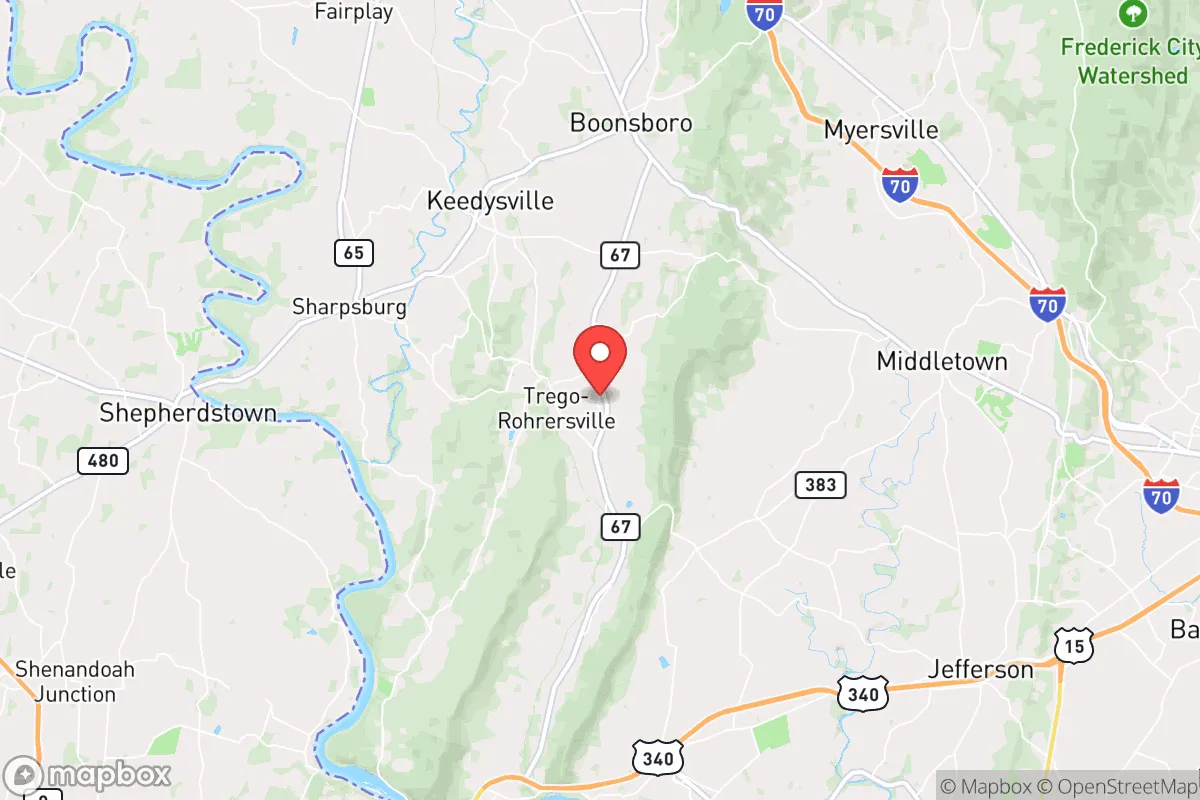
Rohrersville, Maryland, offers a compelling strategic profile for the relocation-minded reader prioritizing resilience and self-sufficiency, primarily due to its position in the rural, low-density landscape of Washington County. Situated roughly 10 miles southwest of Boonsboro and 15 miles from the West Virginia border, the area sits in a geographic pocket that balances proximity to essential infrastructure with meaningful distance from the high-risk zones of major metropolitan centers. For a conservative-leaning individual or family thinking seriously about disaster readiness, Rohrersville’s combination of terrain, low population density, and relative isolation from primary fallout corridors makes it a location worth a hard, grounded look.
Geographic position and natural advantages for long-term stability
Rohrersville’s primary strategic asset is its location within the Appalachian Ridge and Valley region, specifically along the eastern flank of South Mountain. This terrain provides natural defensibility—elevated ridgelines and narrow valleys create chokepoints that slow both vehicular movement and potential threats, whether natural or man-made. The area sits at roughly 600–800 feet in elevation, which places it above the flood-prone zones of the Potomac River basin while still benefiting from the region’s ample rainfall. The surrounding landscape is a mix of hardwood forest and agricultural fields, offering both cover and potential for subsistence farming. Unlike the flat, open expanses of the Eastern Shore or the congested I-95 corridor, Rohrersville’s topography forces a slower, more deliberate approach to movement, which is a net positive for anyone concerned with security and situational awareness. The proximity to the Chesapeake and Ohio Canal National Historical Park and the Appalachian Trail also provides access to established, low-traffic corridors for foot travel or resupply, should road networks become compromised.
Risks, exposures, and proximity to fallout-relevant landmarks
The most significant risk for Rohrersville is its position within the broader Washington, D.C.,–Baltimore combined statistical area. While the village itself is roughly 70 miles from the White House and 60 miles from Fort Detrick in Frederick, these distances are not sufficient to guarantee safety from fallout or secondary effects in a major crisis. Fallout patterns from a high-altitude nuclear detonation over D.C. would likely drift northeast or east depending on prevailing winds, placing Rohrersville in a moderate-risk zone—not a primary target, but within the range of significant radioactive deposition if winds shift. Additionally, the area lies within 30 miles of the Potomac River’s major crossings and the I-70/I-81 interchange near Hagerstown, both of which are potential choke points for military or refugee movement during a crisis. Natural risks are comparatively low: the region experiences occasional flash flooding in low-lying areas, but the elevation and drainage patterns around Rohrersville mitigate this. Tornado risk is below the national average, and seismic activity is negligible. The primary man-made risk is the area’s reliance on a single primary road—MD-67—which connects Rohrersville to Boonsboro and points north; a blockage here would severely limit egress or resupply.
Practical resilience for a relocator: food, water, energy, and defensibility
For a relocator serious about self-sufficiency, Rohrersville’s practical resilience is a mixed but generally favorable picture. Water availability is strong: the area sits atop the Antietam Creek watershed, with numerous springs and small streams feeding into the Potomac. Private wells are common, and the water table is reliable at depths of 100–200 feet. Surface water is abundant but requires treatment; the proximity to the Potomac (10 miles south) provides a backup source, though access may be contested in a crisis. Food production potential is high: the surrounding Washington County is one of Maryland’s top agricultural producers, with a strong base in corn, soybeans, and livestock. Rohrersville itself is surrounded by active farms, and the local soil—primarily Hagerstown silt loam—is well-drained and fertile. A family with a half-acre plot could realistically produce a significant portion of its own vegetables and small grains, and the area’s growing season (roughly 170 days) supports two-season cropping. Energy independence is achievable but requires investment: grid electricity is provided by Potomac Edison, with reliability rated as average for a rural area—outages occur during storms but are typically restored within 24 hours. Solar potential is moderate; the region receives about 4.5 peak sun hours per day, sufficient for a well-sized off-grid system, but tree cover on many properties may require clearing. Wood heating is a practical option, given the surrounding hardwood forests, and a woodlot of 5–10 acres could provide year-round fuel with proper management. Defensibility is the area’s strongest card: the village’s layout—a loose cluster of homes along MD-67 and a few side roads—offers natural observation points and limited entry points. The surrounding ridges provide both cover and vantage points, and the low population density (roughly 200 people in the immediate area) means fewer potential threats and more room for negotiation or cooperation. However, the lack of a centralized community structure (no town hall, no police station, no grocery store within 5 miles) means that residents must be self-reliant for security and logistics. The nearest hospital is Meritus Medical Center in Hagerstown, 20 minutes north, which is a significant vulnerability for medical emergencies during a grid-down scenario.
The overall strategic picture for Rohrersville is one of moderate-to-high resilience with clear trade-offs. It offers a rare combination of defensible terrain, abundant water, and agricultural potential that is increasingly hard to find within a two-hour drive of the nation’s capital. For a conservative-leaning family or individual who values self-sufficiency and is willing to invest in off-grid infrastructure—solar, well maintenance, wood heating, and food storage—Rohrersville provides a viable base of operations. The primary downsides are its proximity to high-value targets (D.C., Fort Detrick, the I-70 corridor) and its dependence on a single road for access. A relocator should also consider the social landscape: Washington County leans conservative, with a strong rural identity and a culture of self-reliance that aligns well with preparedness-minded newcomers. In short, Rohrersville is not a bug-out location for a worst-case scenario—it is a place to build a resilient, long-term life with eyes wide open to both its strengths and its vulnerabilities. For the reader who wants to be part of a community that values independence and is willing to work for it, this area deserves serious consideration.

* Values derived from national, state, county, city and local statistics and may differ in a specific area. Last updated: 2026-08-11T03:15:10.000Z
Narrative content on this page is AI-generated and may contain mistakes. Verify any details that matter before acting on them.
ReloMaps may earn a commission from affiliate links at no extra cost to you.

