
Photo: Wikipedia
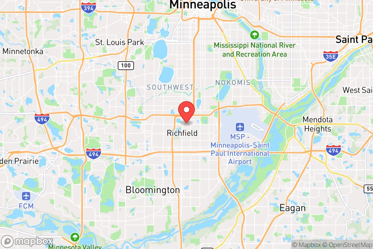
Demographics of Richfield, MN
Affluence Level in Richfield, MN
A middle-class area roughly in line with national averages across income, home values, education, and employment.
People of Richfield, MN
The people of Richfield, Minnesota, today form a dense, middle-ring suburban community of 36,725 residents with a distinctive blend of older Scandinavian-American stock and newer immigrant waves. The city is notably more diverse than its surrounding Hennepin County suburbs, with a 61.1% white population, 18.4% Hispanic, 9.9% Black, 3.1% East/Southeast Asian, and 3.0% Indian-subcontinent residents. Richfield’s identity is shaped by its post-war starter-home character, high density (over 3,000 people per square mile), and a 44.3% college-educated workforce that leans professional but remains more blue-collar in feel than neighboring Edina or Bloomington.
How the city was settled and grew
Richfield’s population history begins with European-American homesteaders drawn by the Dakota land cessions of the 1850s. The city’s first permanent settlers were primarily Yankee and German farmers who established small plots along the Minnesota River bluffs. The real population surge came after World War II, when Richfield transformed from a rural township into a classic first-ring suburb. The Veterans Administration and FHA mortgage programs of the late 1940s and 1950s fueled a massive building boom, with developers like the Orrin Thompson Company constructing thousands of affordable single-family homes. The Woodlake neighborhood, centered around Wood Lake Nature Center, was one of the earliest subdivisions, attracting young white families—mostly of Norwegian, Swedish, and German descent—who worked in Minneapolis’s expanding industrial sector. The Southtown area, near the intersection of I-494 and Lyndale Avenue, developed later in the 1960s as a commercial and apartment hub, drawing a second wave of white ethnic families from the city’s older neighborhoods. By 1960, Richfield’s population had exploded to over 42,000, making it one of the most densely populated suburbs in the state.
Modern era (post-1965)
The 1965 Immigration and Nationality Act opened the door for new populations that reshaped Richfield’s demographics. The first significant non-European arrivals were Southeast Asian refugees, primarily Hmong and Vietnamese families, who settled in the Veterans Park neighborhood during the late 1970s and 1980s. These families were drawn by affordable housing stock and proximity to entry-level manufacturing jobs at companies like Honeywell and Toro. By the 1990s, Hispanic immigration—largely from Mexico and Central America—accelerated, with families clustering in the Pleasant Park area and along the 66th Street corridor. The Hispanic share grew from roughly 5% in 1990 to 18.4% today, making Richfield one of the most Hispanic suburbs in Hennepin County. The 2000s brought a smaller but notable wave of Indian-subcontinent professionals (3.0% of the population), many employed in healthcare and tech at nearby Fairview Southdale Hospital and the I-494 corridor. These families concentrated in the West Richfield neighborhood, near the Edina border, where newer townhome developments offered higher-end rentals. The Black population (9.9%) grew more gradually, with many families arriving from East African communities in Minneapolis and settling in the East Richfield apartment districts along Cedar Avenue. The white share declined from over 85% in 1980 to 61.1% today, though the city remains majority-white and retains a strong Scandinavian cultural imprint in its civic institutions and festivals.
The future
Richfield’s population is trending toward greater diversity but at a slower pace than the 1990s and 2000s. The Hispanic share appears to be plateauing near 18-20%, with second-generation families increasingly moving to outer-ring suburbs like Shakopee and Lakeville for larger homes and better schools. The East/Southeast Asian population (3.1%) is stable, with little new immigration from Vietnam or Laos. The Indian-subcontinent community (3.0%) is growing modestly, driven by tech and medical professionals, but remains a small enclave. The white population is aging in place—Richfield has a median age of 37.5, slightly above the county average—and younger white families are being priced out by rising home values. The city is not tribalizing into distinct ethnic enclaves; rather, neighborhoods like Woodlake and Veterans Park are becoming more mixed, with Hispanic and Black families moving into formerly all-white blocks. The biggest demographic shift ahead is likely aging and densification: the city is approving more apartment and townhome developments along the I-494 corridor, which will attract younger renters and empty-nesters but may not dramatically alter the racial balance. The foreign-born share (9.1%) is below the state average and is unlikely to rise sharply given Minnesota’s restrictive housing supply and cold climate.
For someone moving to Richfield today, the city offers a stable, moderately diverse community with a strong sense of local identity and good schools. It is becoming more mixed but not radically so—a place where a white family can still feel culturally at home while living next to Hispanic and Black neighbors. The population is slowly aging and densifying, but the city’s character as a solid, middle-class first-ring suburb with a Scandinavian backbone is likely to persist for at least another decade.
* Values derived from national, state, county, city and local statistics and may differ in a specific area. Last updated: 2026-04-19T04:24:13.000Z
Narrative content on this page is AI-generated and may contain mistakes. Verify any details that matter before acting on them.
ReloMaps may earn a commission from affiliate links at no extra cost to you.