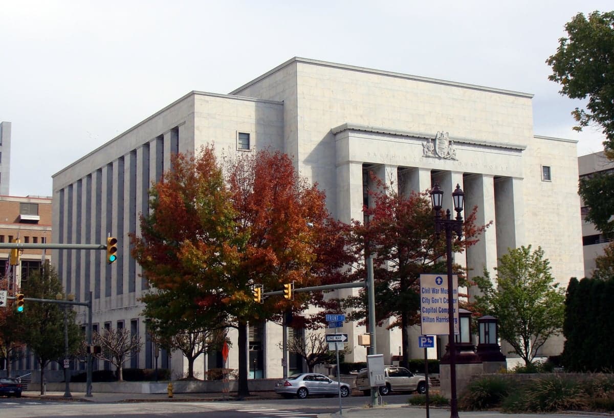
Photo: Wikipedia
Strategic Assessment of Dauphin County
Meaningful friction. Expect exposure to either population pressure, blast zones, or natural disaster risk. Consider buying a retreat property.
What does the Strategic Assessment tell us?
Our Strategic Assessment grades tactical survivability of an area. Major population centers, military targets, fallout zones, natural disasters, and border exposure all drive risk — lower exposure means a more defensible position in a crisis.
This is heavily inspired by Joel Skousen's Strategic Relocation book. Highly recommended you checkout the book ($)What does this tell us?
Our Strategic Assessment grades tactical survivability of an area. Major population centers, military targets, fallout zones, natural disasters, and border exposure all drive risk — lower exposure means a more defensible position in a crisis.
This is heavily inspired by Joel Skousen's Strategic Relocation book. Highly recommended you checkout the book ($)Strategic Pillars

Key Distances
Strategic Assessment Analysis
Dauphin County offers a strategic blend of central Pennsylvania geography and moderate population density that appeals to relocation-minded individuals and families who prioritize resilience and preparedness. Anchored by Harrisburg, the state capital, the county sits at a crossroads of major interstates (I-81, I-83, I-76) and the Susquehanna River, providing both logistical advantages and natural barriers. For a reader weighing disaster readiness and self-sufficiency, Dauphin County presents a mixed picture: it is far enough from major coastal targets to avoid primary fallout zones, yet close enough to critical infrastructure—including the Three Mile Island nuclear plant site and the Harrisburg International Airport—to require careful consideration of proximity risks.
Geographic position and natural advantages for disaster readiness
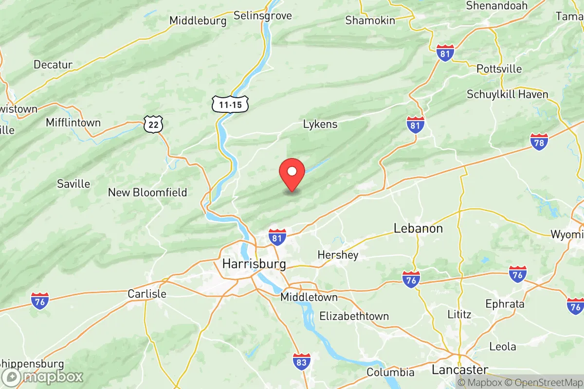
Dauphin County's location in the Susquehanna Valley, flanked by the Blue Mountain ridge to the north and the Appalachian foothills to the south, provides natural defensibility and a temperate climate with four distinct seasons. The county's topography includes significant elevation changes—from the river valley floor at roughly 300 feet to ridges exceeding 1,500 feet—which can offer vantage points and reduce flood exposure in upland areas. The Susquehanna River itself is a major water source, though its floodplain has historically posed risks: Hurricane Agnes in 1972 and Tropical Storm Lee in 2011 caused severe flooding in low-lying communities like Harrisburg, Steelton, and Middletown. For a relocator, the northern and western townships—such as Halifax, Lykens, and parts of Lower Paxton—offer higher ground and more rural settings, while the river corridor remains vulnerable. The county's position roughly 100 miles west of Philadelphia and 90 miles north of Baltimore places it outside the immediate blast and fallout zones of those major cities, a meaningful advantage for those concerned about nuclear or terrorist events targeting large population centers.
Risks, exposures, and proximity to fallout-relevant landmarks
Dauphin County's resilience profile is complicated by its proximity to several high-value infrastructure sites that could become targets or sources of secondary hazards. The Three Mile Island nuclear plant, located just south of the county in Londonderry Township, remains a decommissioned but still monitored site with spent fuel stored on-site—a potential radiological hazard if compromised by accident or attack. The county also hosts the Harrisburg International Airport (MDT), a regional hub with military cargo traffic, and the Keystone Industrial Port Complex along the Susquehanna, which handles bulk commodities and fuels. Additionally, the Pennsylvania State Capitol complex in Harrisburg is a symbolic target, and the county contains multiple rail lines carrying hazardous materials, including crude oil and chemicals, through populated areas. For a relocator, the risk profile is moderate but real: the county's central role in state government and transportation networks makes it more exposed than a purely rural county, but far less so than a major metro area. The presence of Fort Indiantown Gap, a Pennsylvania National Guard training facility in neighboring Lebanon County, adds a military dimension but also a potential response asset.
Practical resilience for a relocator: food, water, energy, and defensibility
For a family or individual serious about self-sufficiency, Dauphin County offers several practical advantages. The Susquehanna River provides a reliable surface water source, though treatment and filtration would be necessary in a grid-down scenario. Groundwater is generally accessible via wells in rural townships, with average depths of 100-300 feet in the valley and deeper in the ridge areas. Agricultural land is abundant in the northern and eastern parts of the county—particularly around Halifax, Millersburg, and Elizabethville—where small farms, orchards, and Amish communities operate. Local food production is viable, with farmers' markets in Harrisburg and Hershey providing fresh produce during growing seasons. Energy infrastructure includes the Susquehanna Steam Electric Station (a nuclear plant in neighboring Luzerne County) and multiple natural gas pipelines running through the county, but grid reliability is average; winter storms and summer thunderstorms cause periodic outages, especially in rural areas with overhead lines. For defensibility, the county's mix of suburban subdivisions, small towns, and open farmland offers options: a property on a ridge with a long driveway and good visibility is achievable, particularly in the northern tier. However, the county's population density of roughly 280 people per square mile means that complete isolation is unlikely—neighbors will be present, and community cooperation will matter.
Overall, Dauphin County represents a moderate-risk, moderate-reward relocation option for the resilience-minded reader. Its central location provides access to multiple regions without being a primary target, and its natural resources—water, farmland, and defensible terrain—are real assets. The trade-offs are clear: you gain proximity to emergency services, supply chains, and medical facilities (including Penn State Health Milton S. Hershey Medical Center), but you also accept the risks of living near a state capital, a decommissioned nuclear plant, and major transportation corridors. For a family that wants to balance preparedness with practical access to jobs and schools, Dauphin County is a viable choice—especially if you choose a property in the higher, more rural townships away from the river and the urban core. It is not a bug-out location, but it is a defensible base with genuine strategic depth.

* Values derived from national, state, county, city and local statistics and may differ in a specific area. Last updated: 2026-06-27T15:24:27.000Z
Narrative content on this page is AI-generated and may contain mistakes. Verify any details that matter before acting on them.
ReloMaps may earn a commission from affiliate links at no extra cost to you.

