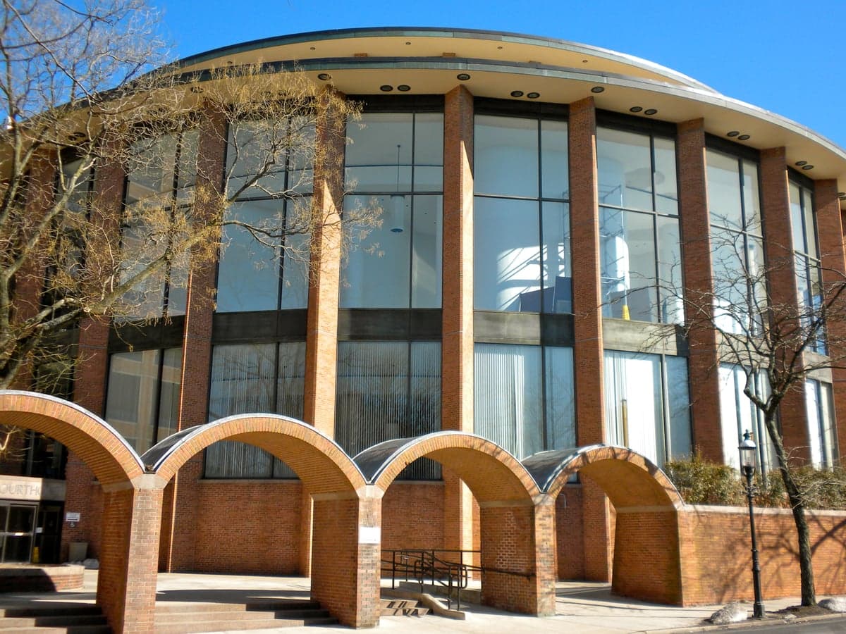
Photo: Wikipedia
Strategic Assessment of Bucks County
Multiple tactical vulnerabilities. Population density, target proximity, or disaster risk are likely compounding. A retreat property and exit planning is required.
What does the Strategic Assessment tell us?
Our Strategic Assessment grades tactical survivability of an area. Major population centers, military targets, fallout zones, natural disasters, and border exposure all drive risk — lower exposure means a more defensible position in a crisis.
This is heavily inspired by Joel Skousen's Strategic Relocation book. Highly recommended you checkout the book ($)What does this tell us?
Our Strategic Assessment grades tactical survivability of an area. Major population centers, military targets, fallout zones, natural disasters, and border exposure all drive risk — lower exposure means a more defensible position in a crisis.
This is heavily inspired by Joel Skousen's Strategic Relocation book. Highly recommended you checkout the book ($)Strategic Pillars

Key Distances
Strategic Assessment Analysis
Bucks County, Pennsylvania, offers a compelling mix of strategic depth and everyday livability, making it a serious contender for relocation-minded individuals and families who value both preparedness and quality of life. Its position along the Delaware River, roughly equidistant from the dense urban corridors of Philadelphia and New York City, provides a buffer of rural and suburban terrain that many other East Coast locations lack. The county’s resilience is rooted in its geography, infrastructure, and community character—but it also carries distinct risks that a strategic-minded relocator must weigh carefully.
Geographic position and natural advantages for long-term stability
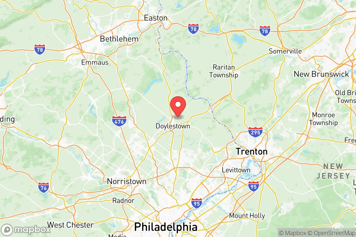
Bucks County’s location is its primary strategic asset. The county sits on the western bank of the Delaware River, with its eastern boundary formed by the river itself, offering a natural defensive barrier and a reliable water source. The terrain rises gently from the river valley into rolling hills and wooded ridges, particularly in the northern and central parts of the county around Doylestown and New Hope. This topography provides natural drainage, reduces flood risk in most areas (outside of immediate river floodplains), and offers numerous defensible positions for homesteads or small communities. The county’s position also places it outside the immediate blast and fallout zones of major metropolitan targets—Philadelphia is roughly 25 miles southwest, and New York City is about 70 miles northeast. For a relocator concerned with proximity to high-value targets, Bucks County’s distance from both cities is a meaningful advantage, especially compared to closer-in suburbs like Montgomery or Delaware counties. The region’s temperate climate, with four distinct seasons and reliable rainfall, supports local agriculture and reduces the risk of extreme weather events like hurricanes or wildfires, though nor’easters and occasional ice storms are a factor.
Risks, exposures, and proximity to fallout-relevant landmarks
No location is without vulnerabilities, and Bucks County has several that a strategic relocator must acknowledge. The most significant risk is its proximity to the Philadelphia Energy Solutions refinery complex in South Philadelphia, a major petrochemical site that, in a crisis, could become a secondary target or a source of hazardous material release. While the refinery is 30 miles away, prevailing winds from the southwest could carry fallout or chemical plumes into southern Bucks County, particularly areas like Bristol and Bensalem. Additionally, the county is within 50 miles of the Naval Support Activity Philadelphia and the Philadelphia Naval Shipyard, both of which are potential military targets. The Trenton-Mercer Airport in neighboring New Jersey and the Northeast Philadelphia Airport are smaller but still relevant landmarks. On the natural risk side, the Delaware River’s floodplain affects communities like Morrisville and Yardley, where severe storms can cause significant flooding. The county also sits near the Ramapo Fault system, though seismic activity is minimal and not a primary concern. For a relocator, the key takeaway is that southern Bucks County, closer to Philadelphia and the river’s industrial corridor, carries higher exposure than the northern and central regions around Quakertown and Perkasie, which are more rural and farther from major targets.
Practical resilience for a relocator: food, water, energy, and defensibility
For someone serious about self-sufficiency, Bucks County offers a strong baseline. The county has a robust agricultural sector, with dozens of working farms, farmers’ markets, and community-supported agriculture (CSA) programs, particularly in the central and northern townships. Doylestown and New Hope are hubs for local food networks, and the county’s soil and climate support a wide range of crops. Water availability is excellent: the Delaware River is a massive, reliable source, and the county’s groundwater aquifers are generally well-recharged. However, a relocator should verify well water quality and depth on any rural property, as some areas have experienced localized contamination from agricultural runoff or old industrial sites. Energy infrastructure is moderately resilient. PECO (the local utility) maintains the grid, but outages from storms are common in wooded areas. Solar adoption is growing, and many rural properties are suitable for off-grid solar or small wind installations. Defensibility varies by location. The northern and central regions, with their winding roads, wooded hills, and low population density, offer natural chokepoints and isolation. In contrast, the southern corridor along I-95 and the river is more densely populated and harder to secure. For a family, a property in a small town like Perkasie or Riegelsville provides a balance of community support and physical security, with access to local resources and a lower profile than more affluent areas like New Hope.
The overall strategic picture for Bucks County is cautiously positive. It offers a rare combination of proximity to major economic centers and genuine rural resilience, making it a viable option for relocators who want both career access and a prepared lifestyle. The county’s natural advantages—reliable water, fertile land, defensible terrain—are real and actionable. The risks are manageable if you choose your specific location wisely, avoiding the southern floodplains and industrial corridors in favor of the central and northern hill country. For a family or individual thinking seriously about disaster readiness, Bucks County is not a bunker—it’s a base. It’s a place where you can build a sustainable life, with enough distance from the highest-risk targets to buy time, and enough community infrastructure to avoid going it alone. The key is to pick your square mile carefully, and to treat the county’s strengths as a foundation, not a guarantee.

* Values derived from national, state, county, city and local statistics and may differ in a specific area. Last updated: 2026-08-14T08:27:42.000Z
Narrative content on this page is AI-generated and may contain mistakes. Verify any details that matter before acting on them.
ReloMaps may earn a commission from affiliate links at no extra cost to you.

