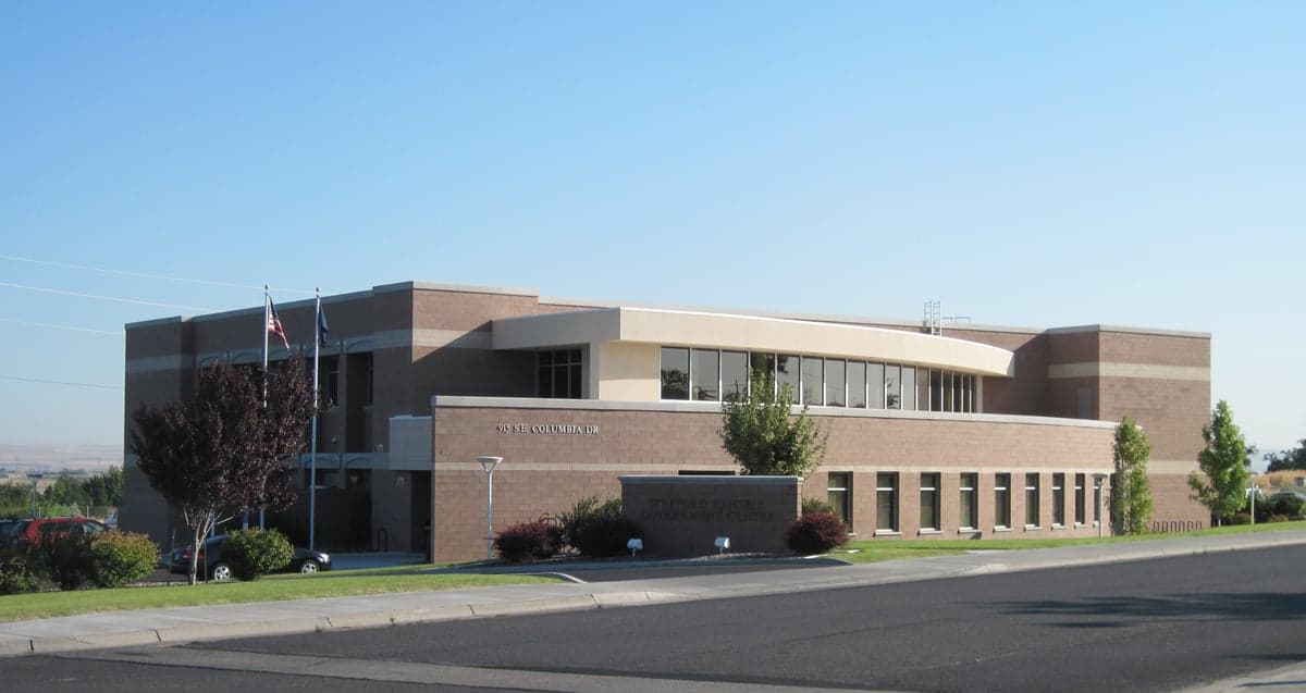
Photo: Wikipedia
Strategic Assessment of Umatilla County
Strong survivability profile. Good buffer from population centers, with manageable environmental and tactical risks.
What does the Strategic Assessment tell us?
Our Strategic Assessment grades tactical survivability of an area. Major population centers, military targets, fallout zones, natural disasters, and border exposure all drive risk — lower exposure means a more defensible position in a crisis.
This is heavily inspired by Joel Skousen's Strategic Relocation book. Highly recommended you checkout the book ($)What does this tell us?
Our Strategic Assessment grades tactical survivability of an area. Major population centers, military targets, fallout zones, natural disasters, and border exposure all drive risk — lower exposure means a more defensible position in a crisis.
This is heavily inspired by Joel Skousen's Strategic Relocation book. Highly recommended you checkout the book ($)Strategic Pillars

Key Distances
Strategic Assessment Analysis
Umatilla County offers a compelling mix of strategic depth and practical resilience for relocators who prioritize disaster readiness and self-sufficiency, though it is not without its own set of exposure risks. Situated in northeastern Oregon along the Columbia River, the county benefits from a location that is far removed from the major metropolitan fallout zones of Portland and Seattle, yet remains connected to critical infrastructure and supply routes. The area’s agricultural base, water abundance, and relatively low population density provide a foundation for long-term stability, but proximity to the Umatilla Chemical Depot and the Columbia Generating Station nuclear facility introduces specific man-made risks that must be weighed carefully.
Geographic position and natural advantages for long-term stability
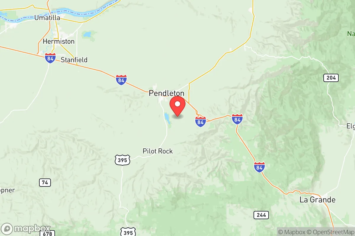
Umatilla County’s geographic position is one of its strongest assets for a relocator focused on resilience. The county sits at the confluence of the Columbia and Umatilla Rivers, providing access to one of the largest freshwater systems in the Pacific Northwest. This water abundance is a critical advantage in a region where many inland areas face seasonal drought. The terrain transitions from the fertile Umatilla Basin in the west to the Blue Mountains in the east, offering a mix of flat agricultural land and forested high ground near towns like Pendleton and Milton-Freewater. The Blue Mountains provide natural defensibility, with limited access points and significant elevation gain, making them a viable retreat zone within the county itself. The area is also far from the seismic risks of the Cascadia Subduction Zone, with the nearest major fault lines lying west of the Cascade Range. This reduces the likelihood of earthquake-related infrastructure collapse compared to western Oregon. The climate is semi-arid, with cold winters and hot summers, which supports dry storage of supplies and reduces the mold and decay issues common in wetter environments.
Risks, exposures, and proximity to fallout-relevant landmarks
While Umatilla County avoids the direct blast and fallout zones of major metropolitan areas, it contains and borders several facilities that introduce specific man-made risks. The most prominent is the Umatilla Chemical Depot, located near Hermiston, which historically stored chemical weapons and is now undergoing cleanup and closure. While the depot is no longer active in the same capacity, the site still contains residual hazards and is a potential target for disruption. Additionally, the Columbia Generating Station, a commercial nuclear power plant located just across the river in Benton County, Washington, sits roughly 30 miles northwest of Hermiston. A worst-case event at this facility could place much of western Umatilla County within a downwind plume zone, depending on weather patterns. The county also hosts the Umatilla Army Depot and the Naval Weapons Systems Training Facility Boardman, both of which are military installations that could become secondary targets or points of contention during a national emergency. On the natural hazard side, the region is prone to wildfires, particularly in the grassland and sagebrush areas east of Pendleton, and the Columbia River Gorge can generate high winds that complicate evacuation and firefighting efforts. Flooding along the Umatilla River is a periodic concern for low-lying agricultural areas, though it is generally manageable and predictable.
Practical resilience for a relocator: food, water, energy, and defensibility
For a relocator serious about self-sufficiency, Umatilla County offers strong fundamentals in food, water, and energy, with some caveats on defensibility. The county is a major agricultural producer, with extensive irrigated farmland growing wheat, potatoes, onions, and alfalfa, as well as supporting cattle and dairy operations. Towns like Hermiston and Pendleton serve as regional hubs for farm supply and equipment, meaning that access to seeds, tools, and livestock is relatively easy compared to more remote counties. The Columbia River provides a virtually unlimited water source, though it requires pumping and treatment infrastructure that may be compromised during a grid-down scenario. Groundwater is available in many areas, but well depths vary significantly, and drilling a new well can be expensive. The county is served by the Bonneville Power Administration grid, which delivers hydroelectric power from the Columbia River dams. This grid is relatively robust, but it is also a potential target for disruption. Solar potential is excellent, with over 300 days of sunshine per year in the lower elevations, making off-grid solar a viable option for those who invest in battery storage. Defensibility is mixed: the open agricultural land of the Umatilla Basin offers long sightlines but little cover, while the forested slopes of the Blue Mountains near Ukiah and Meacham provide better concealment and natural barriers. The county’s population density is low, roughly 15 people per square mile, which reduces competition for resources in a crisis but also means that emergency services are spread thin. The local culture is self-reliant and rural, with a strong tradition of hunting, gardening, and mechanical skills among long-term residents, which can be a social asset for newcomers who integrate well.
The overall strategic picture for Umatilla County is one of moderate to high resilience, tempered by specific industrial and military exposures that require awareness and planning. The county’s distance from major population centers, abundant water and agricultural resources, and low population density make it a strong candidate for a relocator seeking a sustainable base of operations. The presence of the Umatilla Chemical Depot, Columbia Generating Station, and multiple military facilities introduces risks that are not present in more remote inland counties, but these are localized and can be mitigated by choosing a residence east of Pendleton or in the Blue Mountain foothills. For a family or individual willing to invest in off-grid energy, water storage, and community integration, Umatilla County provides a realistic balance of access to infrastructure and separation from the vulnerabilities of the urban corridor. The key is to avoid the western edge of the county near Hermiston and Boardman, where the industrial and military concentration is highest, and instead focus on the eastern half where defensibility and resource independence are stronger.

* Values derived from national, state, county, city and local statistics and may differ in a specific area. Last updated: 2026-06-27T02:10:23.000Z
Narrative content on this page is AI-generated and may contain mistakes. Verify any details that matter before acting on them.
ReloMaps may earn a commission from affiliate links at no extra cost to you.

