Photo: Wikipedia
Strategic Assessment of Multnomah County
Multiple tactical vulnerabilities. Population density, target proximity, or disaster risk are likely compounding. A retreat property and exit planning is required.
What does the Strategic Assessment tell us?
Our Strategic Assessment grades tactical survivability of an area. Major population centers, military targets, fallout zones, natural disasters, and border exposure all drive risk — lower exposure means a more defensible position in a crisis.
This is heavily inspired by Joel Skousen's Strategic Relocation book. Highly recommended you checkout the book ($)What does this tell us?
Our Strategic Assessment grades tactical survivability of an area. Major population centers, military targets, fallout zones, natural disasters, and border exposure all drive risk — lower exposure means a more defensible position in a crisis.
This is heavily inspired by Joel Skousen's Strategic Relocation book. Highly recommended you checkout the book ($)Strategic Pillars

Key Distances
Strategic Assessment Analysis
Multnomah County presents a complex strategic picture for the relocation-minded reader focused on resilience. Its core advantage is the sheer density of resources and infrastructure within the Portland metro area, but that same density creates significant exposure to both natural and man-made risks. For a conservative-leaning individual or family weighing self-sufficiency and disaster readiness, the county offers a mixed bag: excellent access to food and water in normal times, but a high-risk profile for any major disruption that affects the urban core.
Geographic position and natural advantages for long-term stability
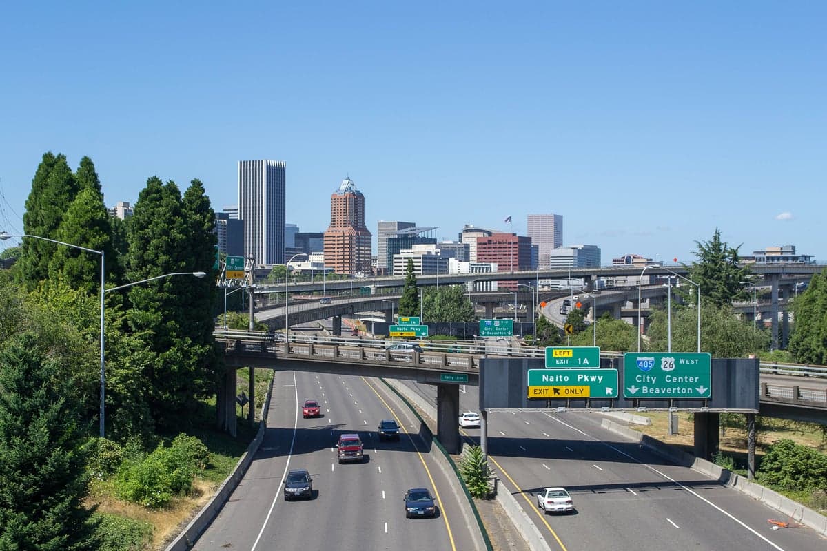
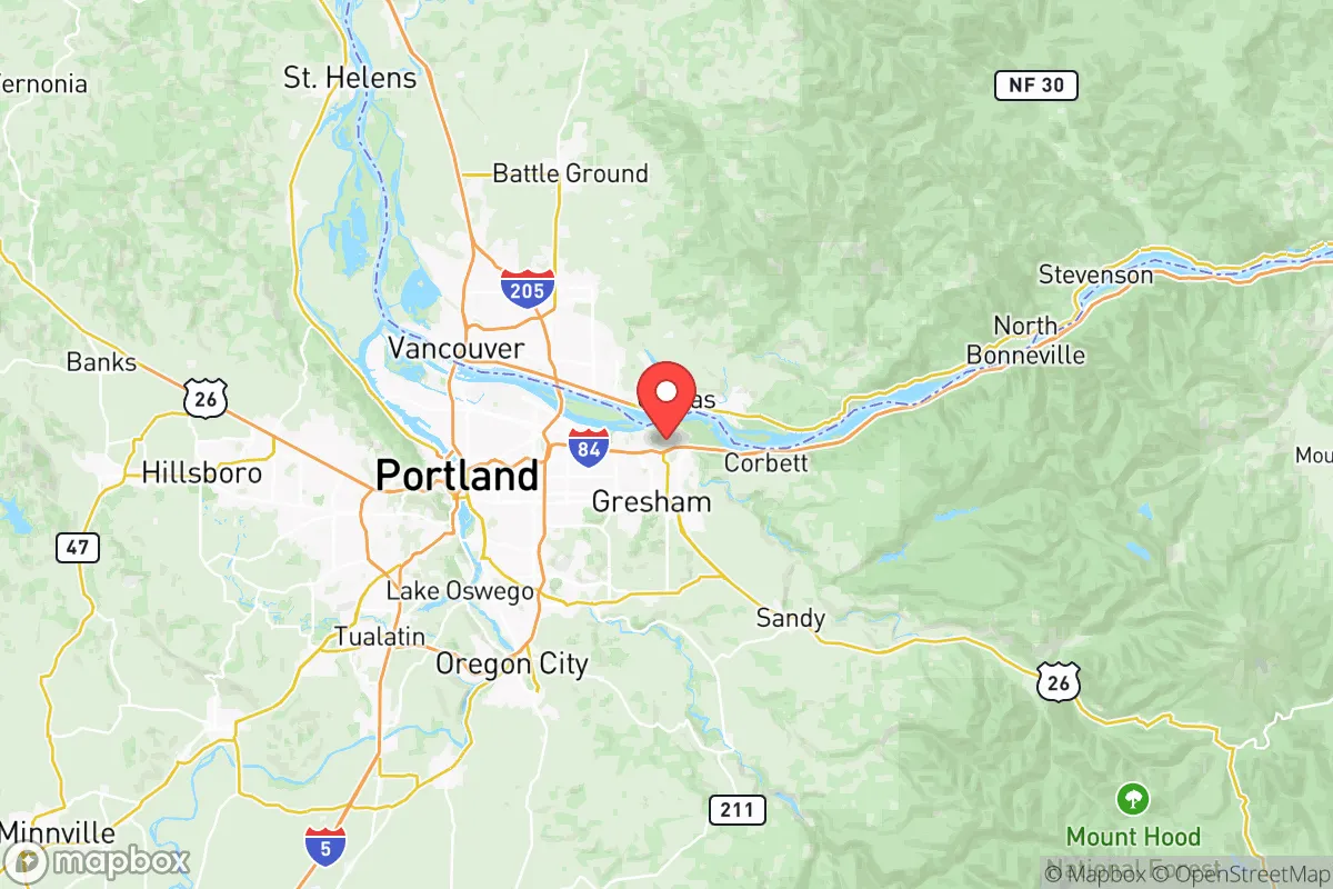
Multnomah County sits at the confluence of the Willamette and Columbia Rivers, a position that historically drove its economic and strategic importance. The county’s terrain is diverse, ranging from the densely urbanized Portland city center to the forested hills of the West Hills and the more rural eastern reaches near Gresham and Troutdale. The Columbia River Gorge to the east provides a natural corridor, but also a funnel for weather and potential hazards. The county’s location in the Willamette Valley means it benefits from a temperate climate with ample rainfall, which supports robust local agriculture in the surrounding counties—a key advantage for food security. The Port of Portland, located along the Columbia, is a major logistical hub, but its presence also makes the area a potential target in a conflict scenario. The Portland International Airport (PDX) is another critical infrastructure node. For a relocator, the natural advantages are real: abundant fresh water from the rivers and a climate that can support year-round food production in the surrounding valleys. However, the county’s position as the economic and population center of Oregon means it is the most likely point of failure or target in any widespread disruption.
Risk exposure: natural hazards, man-made threats, and proximity to fallout-relevant landmarks
The most significant natural risk in Multnomah County is the Cascadia Subduction Zone earthquake. A major event (magnitude 8.0 or higher) would devastate the region, with the greatest damage concentrated in the Portland basin due to soil liquefaction. The Willamette River and Columbia River corridors are particularly vulnerable, with bridges and overpasses likely to fail, isolating neighborhoods and cutting off evacuation routes. The West Hills and areas like Forest Park offer higher ground but are also prone to landslides. Tsunami risk is minimal for the county itself, as it is inland, but the Columbia River could experience a seiche (a standing wave) that would affect riverside communities. Beyond natural hazards, the county’s man-made risk profile is high. The Port of Portland and the Portland International Airport are obvious strategic targets. The county also contains several industrial sites, including chemical storage and manufacturing facilities along the Willamette River. The Oregon National Guard’s Camp Withycombe in Clackamas County is nearby, but within Multnomah County itself, the Portland VA Medical Center and the Oregon Health & Science University (OHSU) are critical infrastructure that could become focal points in a crisis. For a relocator, the key takeaway is that Multnomah County is not a remote or defensible location. It is a dense urban county with a high concentration of people, infrastructure, and potential targets. The Columbia River corridor is a natural chokepoint that could be contested or disrupted.
Practical resilience for a relocator: food, water, energy, and defensibility
For a relocator serious about self-sufficiency, Multnomah County’s practical resilience is a mixed picture. Water is abundant from the Bull Run Watershed and the Columbia and Willamette Rivers, but the treatment and distribution system is vulnerable to earthquake damage. A major quake could leave much of the county without potable water for weeks or months. Food access in normal times is excellent, with numerous grocery stores, farmers’ markets, and a strong local food movement. However, the county is heavily dependent on just-in-time delivery systems. A disruption to the Port of Portland or the interstate highways (I-5, I-84, I-205) would quickly strain food supplies. The surrounding agricultural areas in the Willamette Valley and the Columbia River Gorge are productive, but getting food from farm to table would require a functioning transportation network. Energy is another vulnerability. The county’s power grid is aging and heavily reliant on hydroelectricity from the Columbia River dams. A major earthquake could damage those dams, leading to prolonged blackouts. Natural gas lines are also vulnerable to rupture. Defensibility is the weakest point. Multnomah County is not a defensible location. It is a dense, interconnected urban area with multiple points of entry and egress. The West Hills offer some topographic advantage, but they are also a primary residential area and would be a natural gathering point. The Columbia River is a barrier to the north, but it is also a potential avenue for movement. For a relocator, the best strategy within the county would be to live in a less dense, more self-sufficient area like the eastern parts of Gresham or the rural fringe near Sandy (in adjacent Clackamas County), but even those areas are within the fallout zone of the urban core’s potential collapse.
The overall strategic picture for Multnomah County is one of high risk and moderate reward for the resilience-minded relocator. The county offers unmatched access to resources, services, and community in normal times, but that same density makes it a high-probability failure point in any major crisis. The Cascadia Subduction Zone earthquake is the single greatest existential threat, but the concentration of strategic infrastructure—the Port of Portland, PDX, and the Willamette River industrial corridor—also makes it a potential target in a man-made disaster. For a family or individual prioritizing long-term self-sufficiency and low exposure to both natural and man-made risks, Multnomah County is not an ideal choice. The surrounding counties—Clackamas, Washington, and Columbia—offer better defensibility and lower population density while still providing access to the Portland metro’s resources. If you are determined to live in Multnomah County, the best bet is to locate on the eastern or western fringe, away from the river corridors and the urban core, and to invest heavily in independent water, power, and food storage. The county’s resilience is a function of its infrastructure, and that infrastructure is brittle. Plan accordingly.
* Values derived from national, state, county, city and local statistics and may differ in a specific area. Last updated: 2026-06-12T09:29:35.000Z
Narrative content on this page is AI-generated and may contain mistakes. Verify any details that matter before acting on them.
ReloMaps may earn a commission from affiliate links at no extra cost to you.