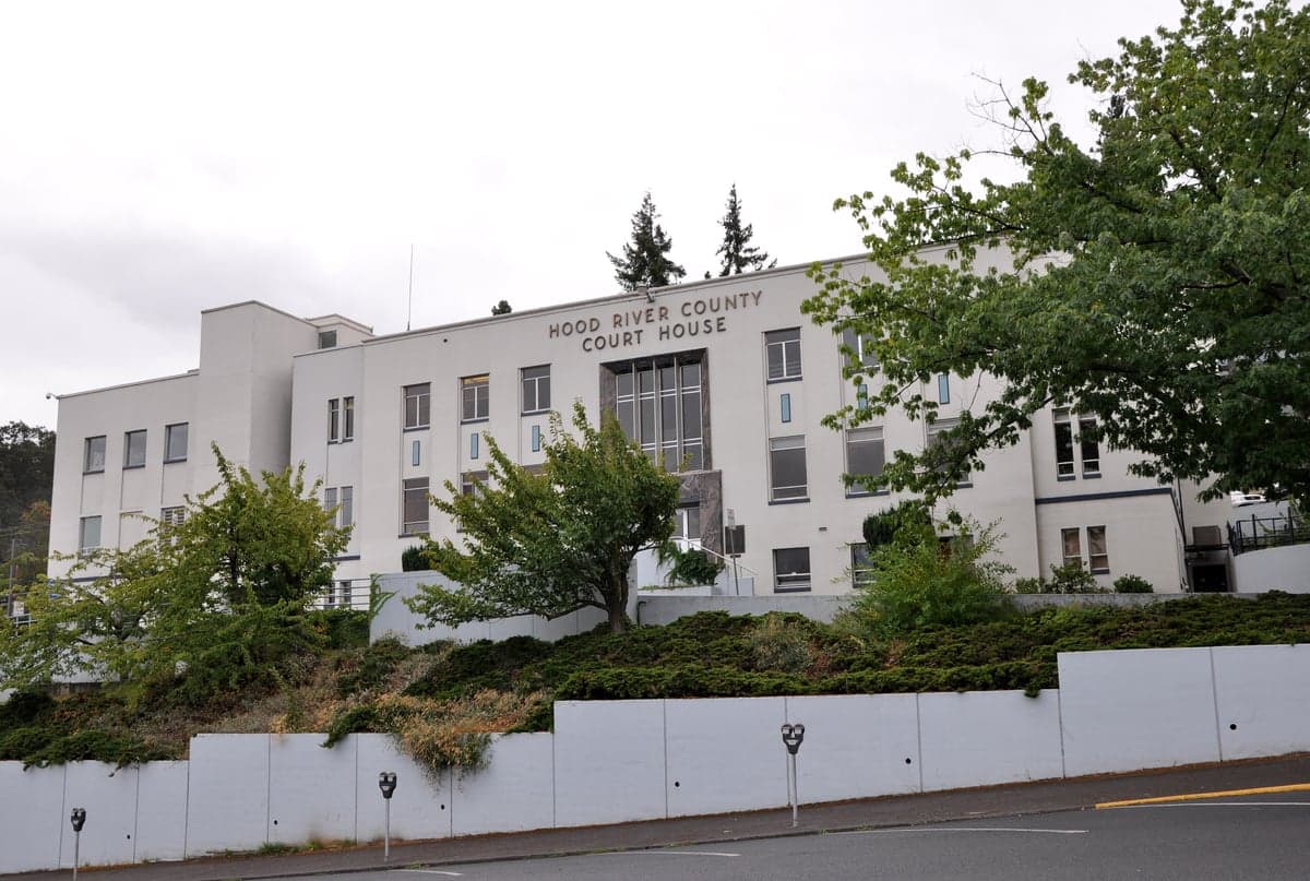
Photo: Wikipedia
Strategic Assessment of Hood River County
Workable tactical position. Some exposure to population density or targets, but generally defensible in a crisis.
What does the Strategic Assessment tell us?
Our Strategic Assessment grades tactical survivability of an area. Major population centers, military targets, fallout zones, natural disasters, and border exposure all drive risk — lower exposure means a more defensible position in a crisis.
This is heavily inspired by Joel Skousen's Strategic Relocation book. Highly recommended you checkout the book ($)What does this tell us?
Our Strategic Assessment grades tactical survivability of an area. Major population centers, military targets, fallout zones, natural disasters, and border exposure all drive risk — lower exposure means a more defensible position in a crisis.
This is heavily inspired by Joel Skousen's Strategic Relocation book. Highly recommended you checkout the book ($)Strategic Pillars

Key Distances
Strategic Assessment Analysis
Hood River County offers a rare combination of geographic isolation and practical self-sufficiency that makes it a compelling option for relocation-minded readers weighing disaster preparedness. Sitting at the eastern edge of the Columbia River Gorge, the county is roughly 60 miles east of Portland's urban core yet feels a world apart, shielded by the Cascade Range from the densest population corridors and the Willamette Valley's industrial concentration. For a single individual or family looking to balance access to infrastructure with genuine strategic depth, Hood River County's position on the Oregon side of the Columbia River provides a defensible, resource-rich base that few other Pacific Northwest counties can match.
Geographic position and natural advantages for long-term security
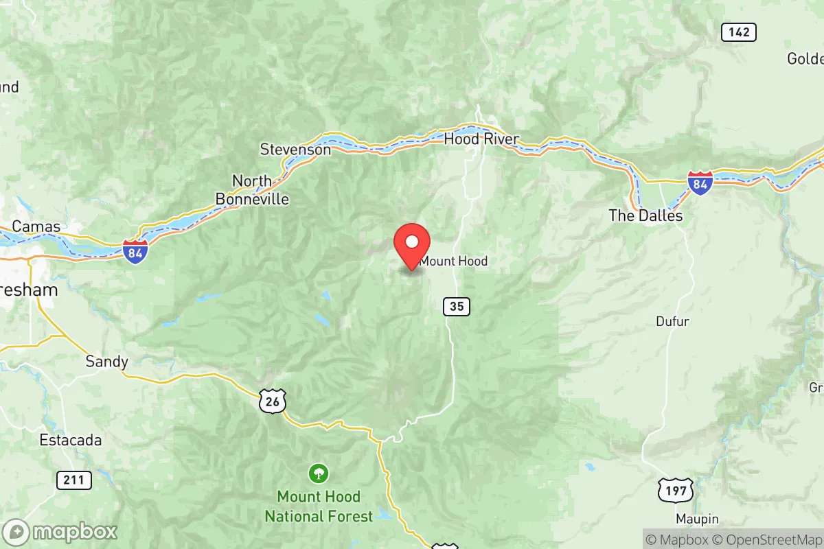
Hood River County's defining feature is its position at the confluence of the Columbia River and the Hood River, with the Cascade Range forming its western and southern boundaries. The county seat, Hood River, sits directly on the Columbia, while the smaller communities of Odell and Parkdale lie inland along the Hood River Valley, climbing toward the flanks of Mount Hood. This layered geography creates a natural funnel: the mountains to the west and south, the river to the north, and the high desert plateau of Wasco County to the east. For a relocator thinking about defensibility, that means the county is not a pass-through zone — it is a destination with limited entry points, primarily Interstate 84 along the river and Highway 35 from the south.
The natural advantages extend beyond terrain. The Hood River Valley is one of Oregon's most productive agricultural regions, known for its apple, pear, and cherry orchards, as well as a growing wine industry. The county's water supply is anchored by the Hood River itself, fed by snowmelt from Mount Hood, and supplemented by numerous smaller creeks and springs. Unlike much of the arid interior West, Hood River County does not face chronic water scarcity — a critical factor for long-term resilience. The climate is moderate, with warm, dry summers and cool, wet winters, and the valley floor rarely sees extreme temperature swings. The Columbia River also provides a reliable transportation and resource corridor, though its dams — Bonneville Dam is just 25 miles west — are a double-edged sword, as discussed below.
Risks, exposures, and proximity to fallout-relevant landmarks
No strategic assessment is honest without addressing the county's exposure profile, and Hood River County is not without vulnerabilities. The most significant man-made risk is the Columbia River dam system. Bonneville Dam, located downstream at the county's western edge, and The Dalles Dam, roughly 20 miles east, are critical infrastructure for the region's power grid and river navigation. In a conflict scenario, these dams are plausible targets; a breach or deliberate release would threaten low-lying areas along the river, including parts of Hood River itself. The county's proximity to the Portland metropolitan area — about 60 miles west — also means that fallout from a strike on Portland's port facilities, industrial zones, or the Intel campuses in Hillsboro could drift eastward depending on wind patterns, though the Cascade crest provides significant shielding.
Natural risks are more immediate and, in some ways, more predictable. The county sits in the shadow of Mount Hood, an active stratovolcano. The last major eruption was in the 1780s, but the mountain is monitored continuously by the USGS Cascades Volcano Observatory. A lahar — a volcanic mudflow — would pose the greatest threat to the Hood River Valley's lower elevations, particularly along the Hood River's drainage. The county is also at risk from earthquakes, both from the Cascadia Subduction Zone offshore and from local fault lines; a major Cascadia event could damage the dams and disrupt the power grid for weeks. Wildfire risk is moderate but growing, particularly in the drier eastern portions of the county and the forested slopes above Parkdale and Odell. The 2017 Eagle Creek Fire, which burned on the Washington side of the Gorge, demonstrated how quickly a fire can threaten the corridor.
For a reader concerned about proximity to high-value targets, the key point is this: Hood River County is not a primary target, but it is adjacent to one. The Bonneville Dam and the I-84 corridor are the county's most likely points of collateral exposure. The county's population density — roughly 23,000 residents across 533 square miles — means that even a worst-case event would affect a relatively small number of people compared to urban centers.
Practical resilience for a relocator: food, water, energy, and defensibility
Where Hood River County genuinely excels is in the practical, day-to-day resilience that matters for a family or individual committed to self-sufficiency. The agricultural base is not theoretical — it is the county's economic engine. The Hood River Valley produces a significant share of Oregon's pear crop, and the region's orchards, farms, and ranches mean that fresh food is available locally even in disrupted supply chains. The Hood River Farmers Market, which runs from spring through fall, connects residents directly with growers, and the county's network of U-pick operations and CSAs makes it feasible to source a substantial portion of one's diet within a 15-mile radius. For longer-term food security, the valley's growing season is long enough for home gardens, and the county's extension service through Oregon State University offers practical resources for small-scale farming and food preservation.
Water is the county's strongest strategic asset. Unlike many Western counties that depend on distant reservoirs or aquifers, Hood River County draws from a local, snow-fed system. Municipal water for the city of Hood River comes from springs and wells in the surrounding hills, and rural residents commonly rely on private wells. In a grid-down scenario, gravity-fed springs and streams in the upper valley would provide potable water with minimal treatment. Energy is more of a mixed picture. The county is served by Pacific Power and Hood River Electric Cooperative, and the Columbia Gorge is one of the windiest corridors in the nation — the nearby Stateline Wind Project, just east of the county line, is one of the largest wind farms in the Pacific Northwest. However, the grid is tied to the dam system, and a prolonged outage would require backup generation. Solar potential is good, particularly in the eastern valley, and the county's building codes are increasingly friendly to off-grid installations.
Defensibility is where the county's geography shines. The Cascade Range to the west and south, the Columbia River to the north, and the open high desert to the east create a natural perimeter. The county has only two primary road entry points — I-84 from the west and east, and Highway 35 from the south — both of which are chokepoints that could be monitored or closed. The interior valleys, particularly around Parkdale and the upper Hood River Valley, are tucked away from the main corridor, offering a degree of seclusion that is hard to find elsewhere in Oregon. The county's small population and strong community networks — evidenced by the active volunteer fire departments in Hood River, Odell, and Parkdale — mean that mutual aid is a practical reality, not a slogan.
The overall strategic picture for Hood River County is one of strong natural advantages tempered by real, manageable risks. The county offers a defensible, resource-rich position with local food and water security that few other regions can match, and its distance from Portland's urban core provides meaningful buffer from the most likely man-made threats. The primary vulnerabilities — the Columbia River dams, Mount Hood's volcanic potential, and the I-84 corridor — are known and quantifiable, and none of them are existential for a prepared resident. For a relocator who values self-sufficiency, community cohesion, and geographic depth, Hood River County is a credible, serious choice. It is not a fortress, but it is a stronghold — and in a world where that distinction matters, it is worth a hard look.

* Values derived from national, state, county, city and local statistics and may differ in a specific area. Last updated: 2026-08-18T17:19:45.000Z
Narrative content on this page is AI-generated and may contain mistakes. Verify any details that matter before acting on them.
ReloMaps may earn a commission from affiliate links at no extra cost to you.

