
Photo: Wikipedia
Strategic Assessment of Pontotoc County
Workable tactical position. Some exposure to population density or targets, but generally defensible in a crisis.
What does the Strategic Assessment tell us?
Our Strategic Assessment grades tactical survivability of an area. Major population centers, military targets, fallout zones, natural disasters, and border exposure all drive risk — lower exposure means a more defensible position in a crisis.
This is heavily inspired by Joel Skousen's Strategic Relocation book. Highly recommended you checkout the book ($)What does this tell us?
Our Strategic Assessment grades tactical survivability of an area. Major population centers, military targets, fallout zones, natural disasters, and border exposure all drive risk — lower exposure means a more defensible position in a crisis.
This is heavily inspired by Joel Skousen's Strategic Relocation book. Highly recommended you checkout the book ($)Strategic Pillars

Key Distances
Strategic Assessment Analysis
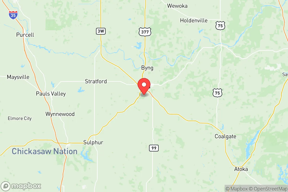
Pontotoc County, anchored by the city of Ada, presents a compelling strategic profile for relocation-minded individuals and families who prioritize resilience, self-sufficiency, and a buffer from major metropolitan vulnerabilities. Its position in south-central Oklahoma, roughly 80 miles from Oklahoma City and 100 miles from the Dallas-Fort Worth metroplex, offers a meaningful distance from primary target zones while remaining within a practical range for supply runs or regional medical access. The county's population of roughly 38,000, with Ada as the largest town at about 17,000 residents, provides enough infrastructure and community density to support essential services without creating the kind of target profile that draws strategic interest.
Geographic position and natural advantages for long-term stability
Pontotoc County sits in a region defined by rolling hills, limestone geology, and the headwaters of the Blue River and Clear Boggy Creek systems. This topography offers several natural advantages for a relocator thinking in terms of decades rather than years. The area lies outside Oklahoma's tornado alley core — while severe weather occurs, the frequency of EF4-5 tornadoes is notably lower than in central Oklahoma or the Red River Valley. The underlying limestone and clay soils provide decent water filtration and reduce the risk of groundwater contamination from surface events. The county's position along the Arbuckle-Simpson aquifer, one of Oklahoma's most productive freshwater sources, gives residents access to reliable groundwater that many surrounding counties lack. For a family looking at long-term water security, this is a significant differentiator compared to areas dependent on surface reservoirs or depleted Ogallala Aquifer resources.
Risk exposure, fallout proximity, and man-made threat assessment
The primary risk for Pontotoc County relocators is not direct strike probability but proximity to secondary targets and fallout corridors. The county lies roughly 60 miles from Tinker Air Force Base near Oklahoma City, a high-value strategic target. Prevailing wind patterns in a major exchange scenario would likely carry fallout from a Tinker strike northeast, placing Pontotoc County in a less contaminated zone than areas directly downwind. However, the county is within 100 miles of the Cushing oil storage hub — the largest commercial crude oil storage facility in North America — which represents a significant industrial target. A strike on Cushing would create a complex contamination and fire risk that could affect air quality and ground transport corridors for weeks. The county is also roughly 90 miles from the McAlester Army Ammunition Plant, which stores and demilitarizes conventional munitions. While not a nuclear target, a conventional attack or accident at McAlester could generate toxic plumes. On the positive side, Pontotoc County has no major refineries, ports, or chemical plants within its borders, and the nearest nuclear power plant is over 200 miles away. The county's distance from the Dallas-Fort Worth metroplex, a likely target set, means fallout from a DFW strike would need to travel against prevailing winds to reach the area, significantly reducing contamination probability.
Practical resilience for a relocator: food, water, energy, and defensibility
Pontotoc County offers strong practical resilience fundamentals. The region sits within Oklahoma's agricultural belt, with soybeans, wheat, cattle, and hay as primary outputs. Ada hosts a working farmers market and multiple feed-and-seed operations, meaning local food production capacity is real, not theoretical. The Arbuckle-Simpson aquifer provides groundwater that is accessible via standard well drilling at depths of 100-300 feet in most of the county, with water quality that typically requires only basic filtration. For energy resilience, the county is served by multiple transmission corridors and has growing interest in distributed solar, though grid dependence remains the norm. Ada's East Central University provides a stabilizing institutional presence with a hospital, library, and emergency services infrastructure that would remain functional in most scenarios. For defensibility, the county's terrain offers natural chokepoints along the Blue River valley and the rolling hills west of Ada. The population density of roughly 45 people per square mile means most properties offer natural standoff distance from neighbors, reducing the friction of community-level resource competition. The county's road network is adequate but not redundant — Highway 99 and Highway 1 provide north-south and east-west corridors, but a single bridge failure on the Blue River could isolate portions of the county for days.
The overall strategic picture for Pontotoc County is one of moderate resilience with specific, manageable vulnerabilities. It is not a remote survivalist retreat — it is a working rural county with real infrastructure, real neighbors, and real exposure to regional risks. For a relocator who wants to be close enough to Oklahoma City for specialty medical care or supply runs but far enough to avoid the blast radius and primary fallout zones, Pontotoc County offers a defensible middle ground. The water security from the Arbuckle-Simpson aquifer is the single strongest argument for the area, followed by the absence of high-value industrial targets within the county itself. The main trade-offs are the proximity to Cushing and Tinker as secondary risk factors, and the reality that any major national disruption would strain the county's single-hospital healthcare system. For a family or individual willing to invest in well water, solar backup, and a three-month food supply, Pontotoc County provides a foundation that balances access with distance in a way few other locations in the southern plains can match.

* Values derived from national, state, county, city and local statistics and may differ in a specific area. Last updated: 2026-07-19T02:15:45.000Z
Narrative content on this page is AI-generated and may contain mistakes. Verify any details that matter before acting on them.
ReloMaps may earn a commission from affiliate links at no extra cost to you.

