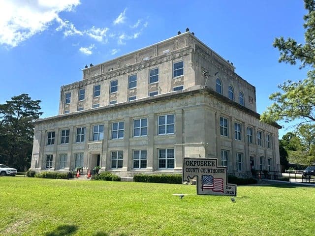
Photo: Wikipedia
Strategic Assessment of Okfuskee County
Strong survivability profile. Good buffer from population centers, with manageable environmental and tactical risks.
What does the Strategic Assessment tell us?
Our Strategic Assessment grades tactical survivability of an area. Major population centers, military targets, fallout zones, natural disasters, and border exposure all drive risk — lower exposure means a more defensible position in a crisis.
This is heavily inspired by Joel Skousen's Strategic Relocation book. Highly recommended you checkout the book ($)What does this tell us?
Our Strategic Assessment grades tactical survivability of an area. Major population centers, military targets, fallout zones, natural disasters, and border exposure all drive risk — lower exposure means a more defensible position in a crisis.
This is heavily inspired by Joel Skousen's Strategic Relocation book. Highly recommended you checkout the book ($)Strategic Pillars

Key Distances
Strategic Assessment Analysis
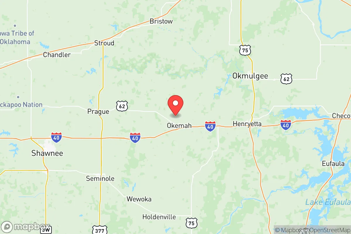
Okfuskee County, Oklahoma, offers a compelling mix of geographic isolation and practical self-sufficiency that appeals to relocation-minded individuals and families prioritizing resilience. Situated roughly 60 miles east of Oklahoma City and 90 miles west of Tulsa, the county sits in a sweet spot—close enough to access major medical and supply hubs like Shawnee or Muskogee, yet far enough from the immediate blast and fallout zones of those larger population centers. The county seat, Okemah, serves as the primary commercial and civic anchor, while smaller communities like Weleetka, Boley, and Paden provide a dispersed population pattern that inherently reduces target risk. For a reader weighing disaster readiness and long-term stability, Okfuskee County presents a low-profile, resource-rich environment that warrants serious consideration.
Geographic position and natural advantages for long-term stability
Okfuskee County’s location within the Cross Timbers ecoregion provides a distinct natural advantage. The rolling hills, mixed oak forests, and numerous creeks and rivers—including the North Canadian River and the Deep Fork River—offer reliable water sources and natural cover. The county’s terrain is not flat, open prairie; it is broken, wooded, and defensible, with plenty of draws and ridges that create natural choke points and concealment. This topography is a genuine asset for anyone thinking about security and resource management. The county also sits outside Oklahoma’s primary tornado alley corridor, though severe weather is still a factor. Compared to the open plains to the west, Okfuskee County’s wooded landscape reduces wind exposure and provides more building material and fuel resources in a grid-down scenario. The presence of Lake Okemah and several smaller impoundments adds a layer of water security that many inland counties lack.
Risks, exposures, and proximity to fallout-relevant landmarks
While Okfuskee County benefits from low population density—roughly 4,500 residents across 625 square miles—it is not without exposure. The county lies within 100 miles of Tinker Air Force Base near Oklahoma City, a primary strategic target. In a major conflict scenario, fallout patterns from a strike on Tinker or the nearby Will Rogers World Airport could drift eastward depending on wind direction. Additionally, the county is roughly 120 miles from the Cushing oil storage hub, one of the largest crude oil storage facilities in North America, and about 150 miles from the refinery complex around Ponca City. These are not immediate blast dangers, but they are fallout-relevant landmarks that a serious relocator must account for. On the positive side, Okfuskee County has no major military bases, no large industrial plants, and no significant rail or highway chokepoints within its borders. U.S. Highway 62 and State Highway 56 run through the county, but traffic volumes are low. The county’s lack of strategic value is, paradoxically, its greatest strategic asset.
Practical resilience for a relocator: food, water, energy, and defensibility
For a family or individual looking to establish a self-sufficient homestead, Okfuskee County offers strong fundamentals. The growing season averages around 210 days, and the soil in the river bottoms is fertile enough for row crops, orchards, and pasture. The county is already home to a mix of cattle operations, hay production, and small-scale farming, meaning agricultural knowledge and supplies are locally available. Water access is above average: the North Canadian River runs through the northern part of the county, and groundwater is generally accessible via shallow wells in the alluvial plains. For off-grid energy, the region receives about 5.5 peak sun hours per day, making solar a viable primary or backup source. Wood for heating and cooking is abundant in the forested areas, and the county’s low population density means fewer neighbors and more privacy—a key factor in defensibility. The town of Okemah has a small hospital (Okemah Hospital) and a volunteer fire department, but serious medical emergencies require a 45-minute drive to Shawnee or Muskogee. Relocators should plan for medical self-sufficiency and stockpile accordingly.
Overall, Okfuskee County presents a balanced strategic picture for the resilience-minded relocator. It is not a perfect bunker—no place is—but it offers a rare combination of water availability, defensible terrain, low target value, and proximity to regional resources without being dependent on them. The county’s small towns like Boley, with its historic all-Black town heritage and tight-knit community, and Weleetka, with its rural character and access to the Deep Fork River, provide multiple settlement options depending on a relocator’s specific needs. For someone serious about long-term preparedness, Okfuskee County deserves a spot on the short list.

* Values derived from national, state, county, city and local statistics and may differ in a specific area. Last updated: 2026-08-08T15:59:20.000Z
Narrative content on this page is AI-generated and may contain mistakes. Verify any details that matter before acting on them.
ReloMaps may earn a commission from affiliate links at no extra cost to you.

