
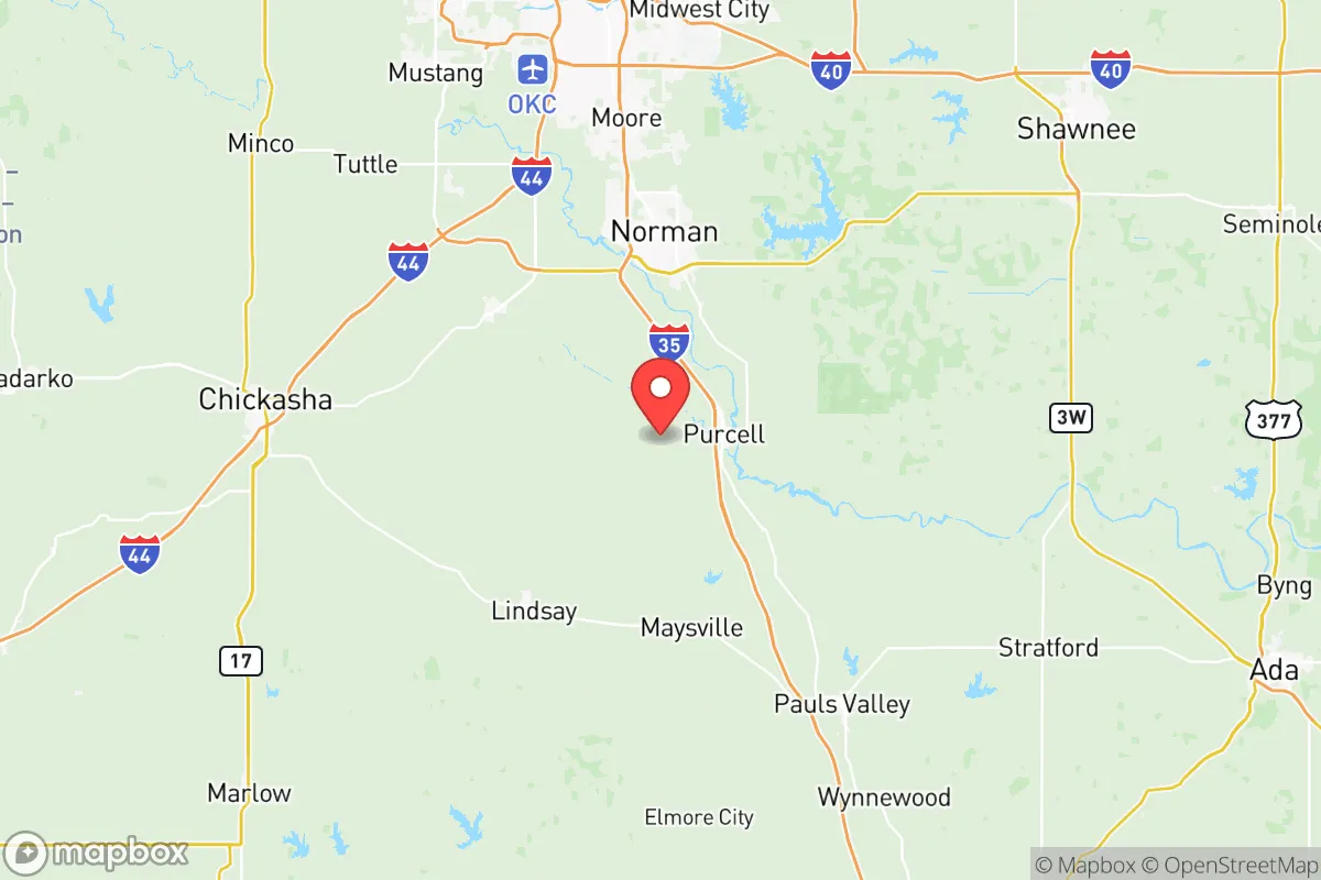
Strategic Assessment of Mcclain County
Workable tactical position. Some exposure to population density or targets, but generally defensible in a crisis.
What does the Strategic Assessment tell us?
Our Strategic Assessment grades tactical survivability of an area. Major population centers, military targets, fallout zones, natural disasters, and border exposure all drive risk — lower exposure means a more defensible position in a crisis.
This is heavily inspired by Joel Skousen's Strategic Relocation book. Highly recommended you checkout the book ($)What does this tell us?
Our Strategic Assessment grades tactical survivability of an area. Major population centers, military targets, fallout zones, natural disasters, and border exposure all drive risk — lower exposure means a more defensible position in a crisis.
This is heavily inspired by Joel Skousen's Strategic Relocation book. Highly recommended you checkout the book ($)Strategic Pillars

Key Distances
Strategic Assessment Analysis
McClain County, Oklahoma, offers a compelling strategic position for relocators prioritizing resilience and self-sufficiency, balancing proximity to Oklahoma City’s economic engine with a distinctly rural, low-density character. The county’s location along the I-35 corridor provides rapid access to urban resources while maintaining a buffer from the concentrated risks of a major metropolitan center. For a family or individual thinking seriously about long-term preparedness, McClain County presents a workable middle ground—close enough to leverage city infrastructure, far enough to avoid its most acute vulnerabilities.
Geographic position and natural advantages for long-term stability
McClain County sits roughly 30 miles south of downtown Oklahoma City, placing it outside the immediate blast and fallout zones of a potential high-value target while still within a reasonable commute for employment and supplies. The county’s terrain is gently rolling prairie and oak woodland, with the Canadian River cutting across its northern edge and the Washita River forming part of its southern boundary. This topography offers natural drainage and avoids the floodplain risks of more developed areas, though low-lying spots near the Canadian River can see localized flooding during heavy rains. The county’s position in central Oklahoma means it is removed from the Gulf Coast hurricane threat and the seismic activity of the western part of the state, though tornado risk remains a real factor—McClain County sits squarely in Tornado Alley, with an average of 5-7 tornado warnings per year. The area’s groundwater is generally reliable, with the Garber-Wellington Aquifer underlying much of the region, providing a potential source for well water in rural parcels. The climate is continental, with hot summers and cold winters, but the growing season of roughly 200 days supports substantial home gardening and small-scale agriculture.
Risk exposure and proximity to fallout-relevant landmarks
The primary man-made risk for McClain County stems from its proximity to Oklahoma City, a regional hub with multiple potential targets. Tinker Air Force Base, located just 25 miles northeast of the county line, is a major Air Force logistics and maintenance center and a high-priority military asset. A strike on Tinker would produce significant fallout that could affect eastern portions of McClain County depending on wind patterns. Additionally, the I-35 corridor itself is a critical transportation artery, and the county hosts a major rail line running parallel to the interstate, both of which could be secondary targets or choke points during a crisis. The county’s own industrial base is modest—the largest employers are in healthcare, education, and retail—but there are no major refineries, chemical plants, or nuclear facilities within the county borders. The nearest nuclear power plant is the Wolf Creek Generating Station in Kansas, roughly 200 miles north, which is outside any plausible fallout radius. Natural gas pipelines cross the county, but these are buried and present minimal risk compared to above-ground infrastructure. The more immediate concern for a relocator is the potential for civil disruption or supply chain interruption originating from Oklahoma City, which could strain local resources if large numbers of urban evacuees head south on I-35.
Practical resilience for a relocator: food, water, energy, and defensibility
For a family serious about self-sufficiency, McClain County offers a strong baseline. The county’s agricultural heritage means good soil for gardening and small livestock operations, and the rural zoning in towns like Blanchard, Newcastle, and Goldsby allows for chickens, goats, and even larger animals on modest acreage. The local farmers’ markets in Purcell and Newcastle provide seasonal produce, and the county’s position in Oklahoma’s wheat belt means bulk grain is readily available. Water access is a key advantage: rural properties with existing wells are common, and the county’s groundwater is generally potable with minimal treatment. The Canadian River, while not a reliable year-round water source, can supplement with proper filtration. For energy, the county is served by multiple electric cooperatives, and rural properties typically have the space for solar panel arrays and backup generators without HOA restrictions. The terrain offers natural defensibility—the rolling hills and scattered woodlots provide cover and observation points, and the low population density (roughly 40,000 residents across 580 square miles) means neighbors are close enough for mutual aid but far enough for privacy. Blanchard, in particular, has a strong community emergency response team (CERT) and an active local preparedness culture, with several private groups focused on ham radio and emergency communications. The county’s road network is mostly two-lane rural highways, which can become congested during an evacuation but also offer multiple secondary routes that avoid the I-35 choke point.
Overall strategic picture for a relocation decision
McClain County’s strategic value lies in its balance: it is not a remote survivalist redoubt, nor is it a suburban bedroom community with no independent resources. The county provides a realistic platform for a prepared family to build a resilient lifestyle while maintaining access to the medical, educational, and economic resources of Oklahoma City. The primary trade-off is tornado risk versus urban proximity—a calculus that favors McClain County over more exposed rural areas in western Oklahoma or more vulnerable suburban rings closer to Tinker Air Force Base. For a relocator who is serious about preparedness but not willing to go fully off-grid, McClain County offers one of the better risk-adjusted options in central Oklahoma, with defensible geography, reliable water, and a community that already values self-reliance. The key is to choose a property with good road access, a well, and enough acreage for food production—and to have a solid storm shelter plan for the spring months.

* Values derived from national, state, county, city and local statistics and may differ in a specific area. Last updated: 2026-07-12T18:16:56.000Z
Narrative content on this page is AI-generated and may contain mistakes. Verify any details that matter before acting on them.
ReloMaps may earn a commission from affiliate links at no extra cost to you.

