
Demographics of Mcclain County
Affluence Level in Mcclain County
A middle-class area roughly in line with national averages across income, home values, education, and employment.
People of Mcclain County
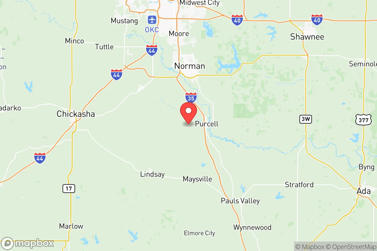
McClain County, Oklahoma, is home to 43,779 residents who live in a predominantly white, rural-to-suburban corridor stretching south from the Oklahoma City metro. With 76.3% of the population identifying as white and a foreign-born share of just 1.7%, the county remains one of the least ethnically diverse in the state, though a growing Hispanic community now makes up 9.3% of residents. The county’s identity is rooted in its agricultural past and its role as a bedroom community for Oklahoma City workers, with a college-educated rate of 28.0% reflecting a modestly skilled workforce. Distinctive markers include a strong conservative political tilt, a scattering of small towns like Purcell and Newcastle, and a population that has more than doubled since 1990, driven by suburban expansion.
Settlement & growth (pre-1960)
Before American settlement, the land that is now McClain County was part of the traditional territory of the Wichita and Caddo peoples, who lived in semi-permanent villages along the Washita and Canadian Rivers. The region was later claimed by France as part of Louisiana, then passed to the United States in the 1803 Louisiana Purchase. In the 1830s, the U.S. government forcibly relocated the Chickasaw and Choctaw nations to Indian Territory, and McClain County fell within the Chickasaw Nation’s domain. The Chickasaw established scattered farms and trading posts, but the area remained sparsely populated until after the Civil War.
The first major wave of non-Native settlers arrived in the 1870s and 1880s, drawn by the promise of cheap land and the expansion of the railroad. The Atchison, Topeka and Santa Fe Railway built a line through the region, leading to the founding of towns like Purcell (1887) and Wayne (1888). These early settlers were overwhelmingly white, native-born Americans from other parts of the South and Midwest, particularly Tennessee, Arkansas, and Missouri. They were farmers and ranchers, raising cotton, corn, and cattle on the fertile bottomlands. The 1889 Land Run and subsequent openings of former Indian Territory to non-Native settlement accelerated the influx, and by 1900, the county’s population had reached roughly 12,000.
In the early 20th century, a small number of African American families moved into the area, primarily as sharecroppers and tenant farmers, settling in rural pockets near Blanchard and Newcastle. However, their numbers remained tiny, and segregation was the norm. The Dust Bowl of the 1930s hit McClain County hard, causing many families to leave for California, but the county’s population stabilized around 15,000 by 1940. After World War II, the rise of the oil and gas industry brought a modest wave of workers to towns like Goldsby and Cole, but the county remained overwhelmingly agricultural and white through the 1950s.
Modern era (post-1965)
The 1965 Hart-Cellar Act had little direct impact on McClain County, as the foreign-born population remains just 1.7% today. Instead, the county’s modern demographic story is one of domestic migration and suburbanization. Beginning in the 1970s, the expansion of the Oklahoma City metropolitan area pushed development south along the Interstate 35 corridor. Newcastle, located just 15 miles from downtown Oklahoma City, became a prime destination for white families seeking larger lots and lower taxes. Its population grew from under 1,000 in 1970 to over 8,000 by 2020, and it is now the county’s largest town.
The Hispanic population began to grow noticeably in the 1990s and 2000s, driven by labor demand in construction, agriculture, and the oil fields. Today, Hispanics make up 9.3% of the county’s residents, with the largest concentrations in Purcell and Blanchard, where they work in meatpacking plants, poultry processing, and farm labor. This community is predominantly Mexican-American, with smaller numbers from Central America. The Black population remains very small at 1.1%, concentrated in Purcell and rural areas, while East/Southeast Asian residents account for just 0.3% and Indian-subcontinent residents 0.1%, mostly professionals in the Newcastle area.
Suburbanization accelerated after 2000, as families from Oklahoma City and Norman moved into new subdivisions in Newcastle, Blanchard, and Slaughterville. These newcomers are predominantly white, middle-class, and conservative, drawn by good schools, low crime, and a slower pace of life. The county’s population grew from 22,000 in 1990 to 43,779 in 2024, a near-doubling that shows no signs of slowing. The college-educated share of 28.0% is below the national average but rising, as more professionals telecommute or commute to jobs in the metro.
The future
McClain County is projected to continue growing at a steady pace, likely reaching 55,000–60,000 residents by 2040. The Hispanic share is expected to rise gradually, possibly to 12–15%, as younger families and new immigrants move into the area for work in construction and services. The white share will decline slowly but remain dominant, while Black, Asian, and Indian populations will likely stay very small, each under 2%. The county’s cultural identity will remain conservative and rural-suburban, with a strong emphasis on family, church, and outdoor recreation.
New development will concentrate along the I-35 corridor, especially around Newcastle and Purcell, where new housing tracts and retail centers are already under construction. The smaller towns like Wayne and Goldsby will see slower growth, preserving their agricultural character. The county is unlikely to become significantly more diverse in the near term, as its low foreign-born share and lack of major immigrant-attracting industries limit demographic change. For someone moving in now, McClain County offers a stable, predominantly white community with a growing suburban feel, affordable housing, and easy access to Oklahoma City’s jobs and amenities.

* Values derived from national, state, county, city and local statistics and may differ in a specific area. Last updated: 2026-07-12T18:16:56.000Z
Narrative content on this page is AI-generated and may contain mistakes. Verify any details that matter before acting on them.
ReloMaps may earn a commission from affiliate links at no extra cost to you.

