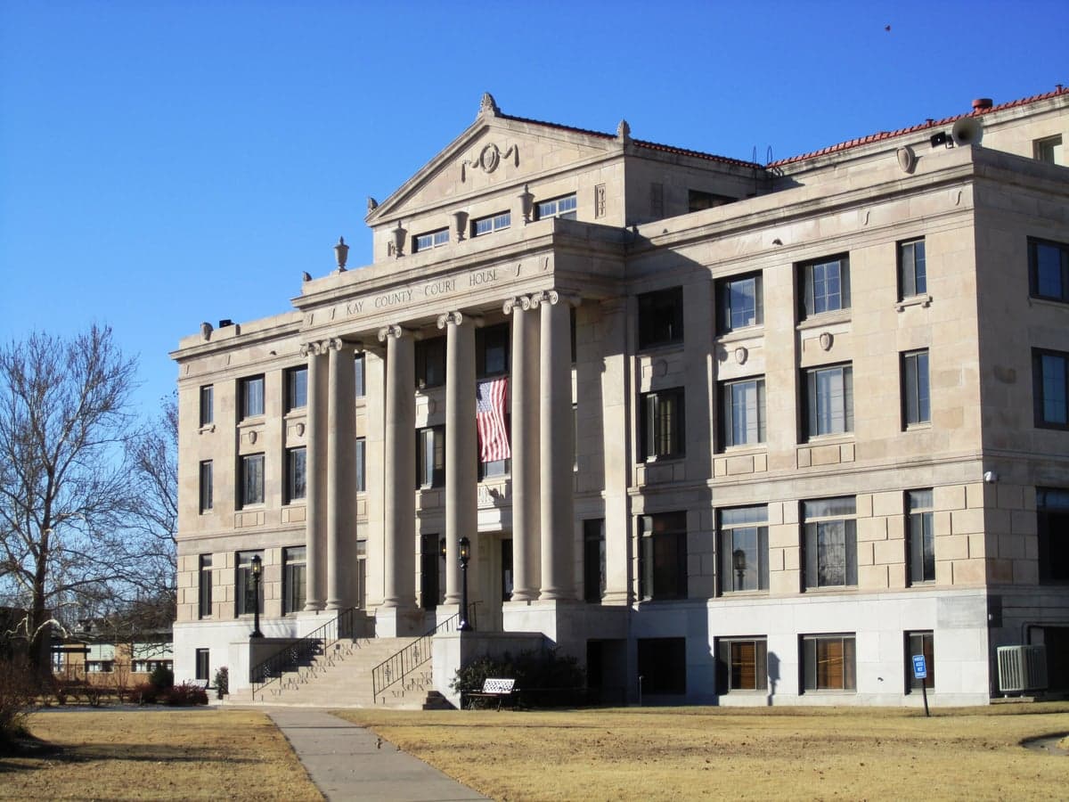
Photo: Wikipedia
Strategic Assessment of Kay County
Workable tactical position. Some exposure to population density or targets, but generally defensible in a crisis.
What does the Strategic Assessment tell us?
Our Strategic Assessment grades tactical survivability of an area. Major population centers, military targets, fallout zones, natural disasters, and border exposure all drive risk — lower exposure means a more defensible position in a crisis.
This is heavily inspired by Joel Skousen's Strategic Relocation book. Highly recommended you checkout the book ($)What does this tell us?
Our Strategic Assessment grades tactical survivability of an area. Major population centers, military targets, fallout zones, natural disasters, and border exposure all drive risk — lower exposure means a more defensible position in a crisis.
This is heavily inspired by Joel Skousen's Strategic Relocation book. Highly recommended you checkout the book ($)Strategic Pillars

Key Distances
Strategic Assessment Analysis
Kay County, Oklahoma, offers a compelling mix of geographic isolation and strategic access that appeals to relocators focused on resilience and self-sufficiency. Anchored by the twin cities of Ponca City and Blackwell, the county sits in a sweet spot—far enough from major metropolitan chaos to avoid the worst of societal collapse scenarios, yet close enough to essential supply chains and medical infrastructure to remain practical. For a single individual or family weighing disaster readiness, Kay County presents a defensible, resource-rich environment with a few notable exposures that require honest assessment.
Geographic position and natural advantages for long-term stability
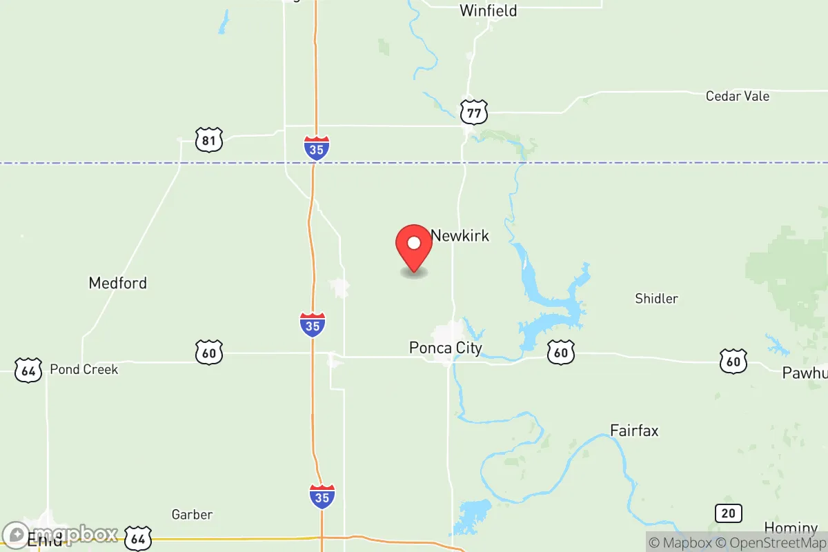
Kay County's location in north-central Oklahoma, bordering Kansas, places it squarely in the American heartland—a region often cited by resilience analysts for its lower population density and distance from primary target zones. Ponca City, the county seat, sits roughly 90 miles from Oklahoma City and 60 miles from Wichita, Kansas, providing a buffer from the immediate fallout and civil unrest that would likely engulf larger urban centers during a major crisis. The county is bisected by the Arkansas River, which flows through the eastern edge near the town of Newkirk, offering a reliable surface water source for those with the means to treat it. The terrain is predominantly rolling plains and agricultural land, which supports both visibility for security and ample space for private food production. The region's climate is continental, with hot summers and cold winters, but it avoids the extreme drought conditions of the southwestern U.S. and the hurricane risks of the Gulf Coast. For a relocator, the ability to grow food, access groundwater, and maintain a low profile is a significant strategic advantage.
Risks, exposures, and proximity to fallout-relevant landmarks
No resilience assessment is honest without addressing the risks, and Kay County has several that demand attention. The most immediate concern is the presence of the Ponca City Refinery, a major oil processing facility operated by Phillips 66, located directly within the city limits. While the refinery provides local energy security and employment, it also represents a potential target for sabotage or accidental release during a national emergency. A catastrophic event at the refinery could render large portions of Ponca City uninhabitable for weeks or months, depending on wind patterns and the nature of the release. Additionally, the county lies within 150 miles of Vance Air Force Base in Enid, Oklahoma, and McConnell Air Force Base in Wichita, Kansas—both of which are strategic military assets that could become primary or secondary targets in a conflict involving nuclear or conventional strikes. The prevailing winds in the region blow from the south and southwest, meaning fallout from a strike on either base could drift into Kay County, particularly affecting the northern and eastern areas around Blackwell and Newkirk. The county also sits in the heart of Tornado Alley, with a well-documented history of severe weather, including the 1955 Blackwell tornado that killed 20 people. While tornadoes are survivable with proper shelter, they pose a recurring threat to infrastructure and stored supplies. For the resilience-minded relocator, these risks are manageable but require proactive mitigation—reinforced storm shelters, decentralized supply caches, and a clear evacuation plan for the refinery's immediate vicinity.
Practical resilience for a relocator: food, water, energy, and defensibility
On the practical side, Kay County offers strong fundamentals for a self-sufficient lifestyle. The agricultural base is robust, with extensive cropland for wheat, soybeans, and corn, as well as cattle ranching operations throughout the county. For a family looking to establish a homestead, land prices remain well below national averages, with rural parcels often available for under $2,000 per acre. Water access is generally good, with the Arkansas River and its tributaries providing surface water, and the High Plains Aquifer system underlying much of the region offering groundwater via private wells. However, well depth and yield vary significantly by location, so a pre-purchase water test and flow rate assessment are non-negotiable. Energy resilience is a mixed picture: the county is served by the grid, but rural areas experience frequent outages during storms. Solar potential is moderate, with roughly 200 sunny days per year, making a hybrid solar-plus-battery system a viable investment for off-grid capability. Natural gas is widely available in the region, and propane storage is common among rural residents. Defensibility is one of Kay County's stronger attributes. The low population density—roughly 44,000 residents across 920 square miles—means neighbors are few and far between, reducing the risk of resource competition during a crisis. The terrain offers good lines of sight, and the county's network of county roads and state highways provides multiple egress routes toward less populated areas in Kansas or the Oklahoma Panhandle. For those concerned about societal collapse, the ability to secure a perimeter, maintain a low profile, and rely on local resources is a significant advantage over suburban or exurban locations closer to major cities.
The overall strategic picture for Kay County is one of cautious optimism. It is not a perfect refuge—no location is—but it offers a realistic balance of isolation, resource availability, and manageable risk for a relocator willing to invest in preparation. The refinery and proximity to military bases are genuine concerns that require honest planning, but they do not outweigh the county's fundamental strengths: affordable land, reliable water, agricultural capacity, and a low-density population that discourages unwanted attention. For a single individual or family with a conservative, self-reliant mindset, Kay County represents a defensible, sustainable option in the American heartland that is worth serious consideration.

* Values derived from national, state, county, city and local statistics and may differ in a specific area. Last updated: 2026-06-21T13:27:48.000Z
Narrative content on this page is AI-generated and may contain mistakes. Verify any details that matter before acting on them.
ReloMaps may earn a commission from affiliate links at no extra cost to you.

