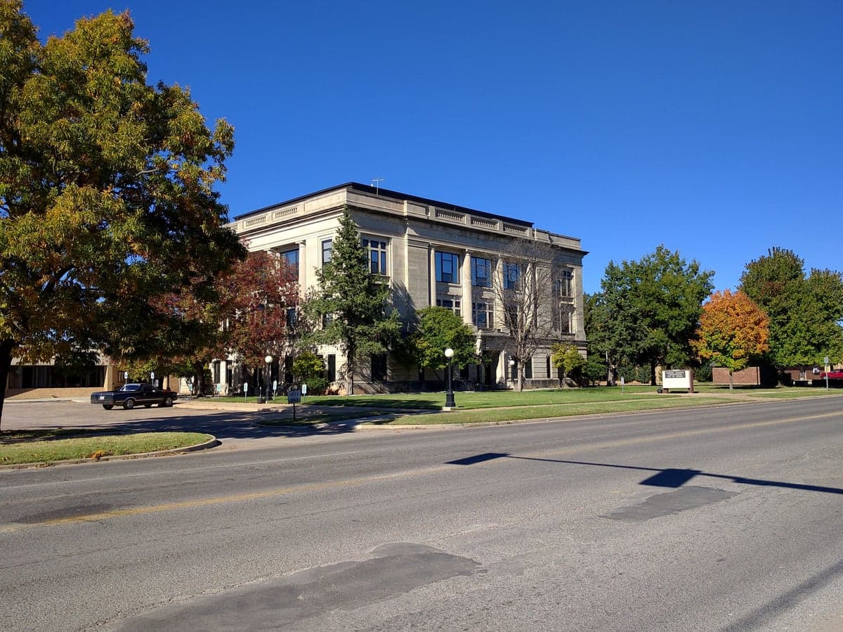
Photo: Wikipedia
Strategic Assessment of Garvin County
Workable tactical position. Some exposure to population density or targets, but generally defensible in a crisis.
What does the Strategic Assessment tell us?
Our Strategic Assessment grades tactical survivability of an area. Major population centers, military targets, fallout zones, natural disasters, and border exposure all drive risk — lower exposure means a more defensible position in a crisis.
This is heavily inspired by Joel Skousen's Strategic Relocation book. Highly recommended you checkout the book ($)What does this tell us?
Our Strategic Assessment grades tactical survivability of an area. Major population centers, military targets, fallout zones, natural disasters, and border exposure all drive risk — lower exposure means a more defensible position in a crisis.
This is heavily inspired by Joel Skousen's Strategic Relocation book. Highly recommended you checkout the book ($)Strategic Pillars

Key Distances
Strategic Assessment Analysis
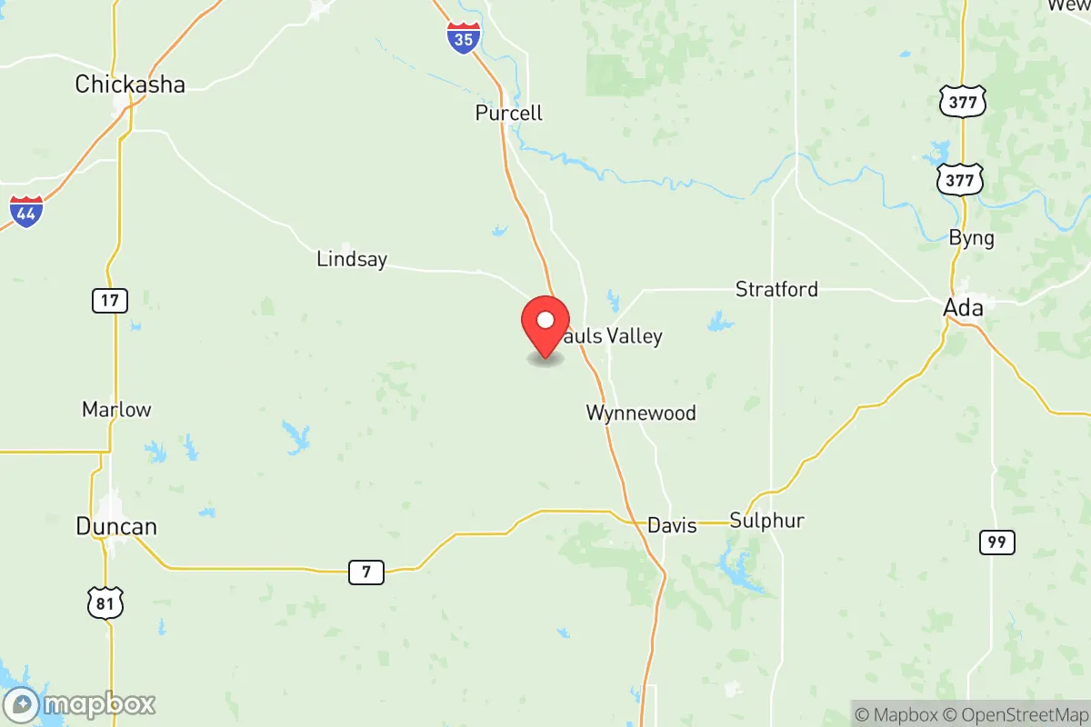
Garvin County, Oklahoma, sits in a sweet spot for the resilience-minded relocator: far enough from major metropolitan blast zones to avoid the worst of a grid-down scenario, yet close enough to regional logistics hubs to maintain supply lines during normal times. Anchored by the county seat of Pauls Valley and the smaller communities of Lindsay, Wynnewood, and Stratford, this south-central Oklahoma county offers a blend of working farmland, light industry, and quiet rural living that has flown under the radar for most preppers and self-sufficiency seekers. Its position along Interstate 35 — roughly 50 miles south of Oklahoma City and 90 miles north of the Dallas-Fort Worth metroplex — provides a strategic corridor advantage without the population-density liabilities of those urban centers.
Geographic position and natural advantages for long-term stability
Garvin County's topography is gently rolling prairie and red-clay farmland, bisected by the Washita River and its tributaries. This is not mountain hideaway country; it is agricultural heartland, which means the land itself is productive. The county sits atop the Arbuckle-Simpson aquifer, one of Oklahoma's most reliable groundwater sources, and the Pauls Valley area draws from the Washita River alluvium. For a family looking to drill a well or maintain a pond, water availability here is markedly better than in western Oklahoma or the Texas Panhandle. The climate is continental with hot summers and occasional ice storms in winter, but it lacks the hurricane exposure of the Gulf Coast or the wildfire intensity of the western states. Tornado risk is real — this is the southern edge of Tornado Alley — but the county's relatively flat terrain and sparse tree cover mean warning times are generally adequate, and storm shelters are common in rural homes.
The county's location relative to regional infrastructure is its quiet strength. Interstate 35 runs directly through Pauls Valley, giving residents a four-lane evacuation route north to Oklahoma City or south to Texas. U.S. Highway 77 parallels the interstate as a secondary route, and State Highway 19 connects east-west across the county. The BNSF Railway mainline also cuts through the county, which matters for freight movement if trucking falters. For daily life, Pauls Valley is a functioning small city of roughly 6,000 people with a hospital, a Walmart Supercenter, and a historic downtown district. Lindsay, Wynnewood, and Stratford each offer basic services, and the county's total population of about 26,000 means you are not competing with crowds for resources.
Risk exposure and proximity to fallout-relevant landmarks
The honest assessment of Garvin County's risk profile requires acknowledging what is nearby. Tinker Air Force Base, located in Oklahoma City about 55 miles north, is a major military installation and a plausible target in a conflict scenario. The Oklahoma City metro itself, with its federal buildings, energy infrastructure, and population of 1.4 million, is a secondary target. In a nuclear exchange, prevailing winds from the north would carry fallout down the I-35 corridor toward Garvin County — a genuine concern that any serious analyst must flag. However, the county's distance from the blast zones (50-plus miles) means the primary threat is radioactive fallout, not blast or thermal effects, and that fallout risk diminishes significantly with time and distance. A well-prepared household with a basement, adequate food stores, and the discipline to shelter for 48-72 hours would likely fare well.
Other man-made risks are more mundane but more probable. The county is crisscrossed by natural gas pipelines, and the nearby Arbuckle formation has experienced induced seismicity linked to wastewater injection wells, though earthquake activity has declined in recent years. The refinery corridor along the Gulf Coast is far enough away (400-plus miles) to be irrelevant to Garvin County's immediate risk picture, and the Port of Catoosa near Tulsa is over 100 miles northeast. The more realistic hazards are the same ones that have always plagued rural Oklahoma: winter ice storms that knock out power for days, spring flooding along the Washita River, and the occasional tornado. None of these are civilization-ending events, but they are recurring tests of a household's preparedness.
Practical resilience for a relocator: food, water, energy, and defensibility
For the family serious about self-sufficiency, Garvin County delivers on the essentials. The soil is productive, and the growing season runs roughly 210 days, from early April to early November. The county is dotted with small farms, and the Pauls Valley Farmers Market operates seasonally, but the real advantage is land availability — acreage with a house can be had for well under $200,000, and raw farmland for less. Water is the county's strongest card: the Arbuckle-Simpson aquifer feeds numerous springs and wells, and the Washita River provides surface water, though it runs low in drought years. A drilled well in this area typically runs 100-300 feet deep and costs $10,000-$15,000 to install, a worthwhile investment for any resilience-minded property buyer.
Energy resilience is a mixed picture. The county is served by the OG&E grid, which is reliable by Oklahoma standards but still vulnerable to ice storms and summer peak loads. Natural gas is the dominant home heating fuel, and propane is widely available in rural areas. Solar potential is good — the county averages about 5.5 peak sun hours per day — and there are no restrictive zoning codes preventing residential solar or backup generators. Wood heat is viable, as the county has ample oak and cedar stands, though not the dense forests of eastern Oklahoma. For defensibility, the terrain offers no natural chokepoints, but the low population density and strong community networks in towns like Lindsay and Stratford mean that neighbors know each other and look out for one another. The county sheriff's office is active, and the Pauls Valley and Lindsay police departments maintain a visible presence.
Food security is the county's quiet strength. Garvin County sits in the heart of Oklahoma's cattle country, with the Pauls Valley Stockyards serving as a regional livestock market. Grain elevators in Wynnewood and Stratford handle wheat and feed corn, and the surrounding counties produce the bulk of Oklahoma's row crops. A family with a garden, a few chickens, and a relationship with a local cattle rancher could source the majority of their protein and produce within a 20-mile radius. The Wynnewood area is also home to a Valero refinery, which is a double-edged sword: it provides local fuel supply and jobs, but it is also a potential industrial accident site and a target in a conflict scenario.
The overall strategic picture for Garvin County is one of moderate risk and high practical resilience. It is not the remote mountain redoubt that some preppers seek, nor is it the suburban survivalist haven that others imagine. It is a working agricultural county with real water resources, productive soil, and a population that still remembers how to do things for itself. The proximity to Oklahoma City and Tinker Air Force Base is a genuine liability in a worst-case scenario, but the county's distance from those targets, combined with its strong groundwater and food production capacity, makes it a defensible choice for a family that wants to be prepared without living off-grid in the wilderness. For the relocator weighing risk against practicality, Garvin County offers a balanced, grounded option in the American heartland.

* Values derived from national, state, county, city and local statistics and may differ in a specific area. Last updated: 2026-10-31T04:35:22.000Z
Narrative content on this page is AI-generated and may contain mistakes. Verify any details that matter before acting on them.
ReloMaps may earn a commission from affiliate links at no extra cost to you.

