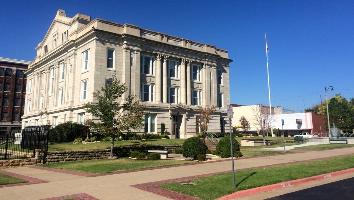
Photo: Wikipedia
Strategic Assessment of Creek County
Workable tactical position. Some exposure to population density or targets, but generally defensible in a crisis.
What does the Strategic Assessment tell us?
Our Strategic Assessment grades tactical survivability of an area. Major population centers, military targets, fallout zones, natural disasters, and border exposure all drive risk — lower exposure means a more defensible position in a crisis.
This is heavily inspired by Joel Skousen's Strategic Relocation book. Highly recommended you checkout the book ($)What does this tell us?
Our Strategic Assessment grades tactical survivability of an area. Major population centers, military targets, fallout zones, natural disasters, and border exposure all drive risk — lower exposure means a more defensible position in a crisis.
This is heavily inspired by Joel Skousen's Strategic Relocation book. Highly recommended you checkout the book ($)Strategic Pillars

Key Distances
Strategic Assessment Analysis
Creek County, Oklahoma, offers a compelling strategic position for relocators prioritizing resilience and self-sufficiency, balancing proximity to the Tulsa metro with a distinctly rural, defensible character. Its location along the Cimarron River and the historic Route 66 corridor provides natural advantages and logistical access, while its distance from major coastal and industrial targets reduces exposure to the most severe fallout scenarios. For a conservative-leaning audience focused on disaster readiness, Creek County presents a pragmatic middle ground—close enough to urban resources for supply runs, far enough to avoid the worst of a cascading collapse.
Geographic position and natural advantages for long-term stability
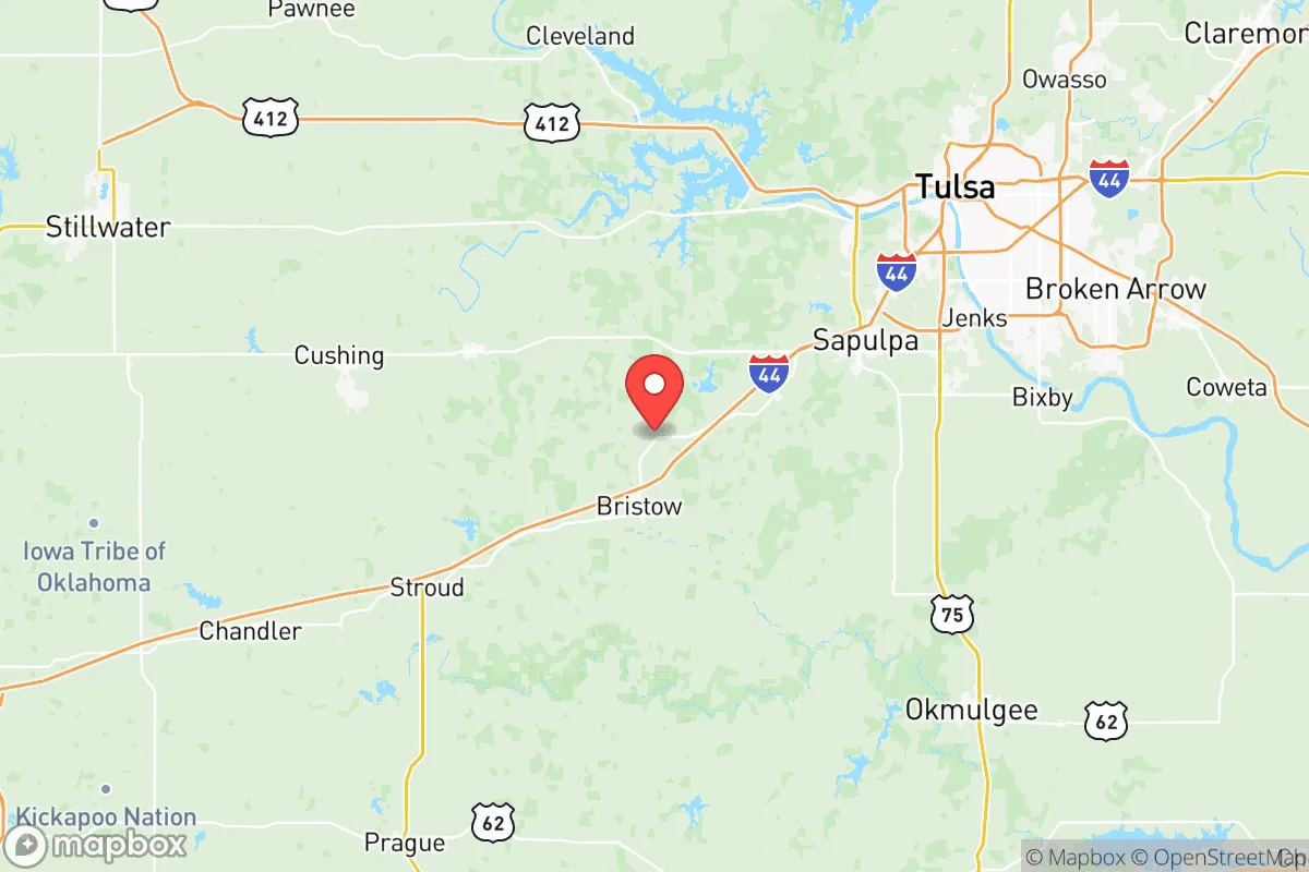
Creek County sits in the heart of Green Country, a region defined by rolling hills, oak forests, and ample water sources. The county seat, Sapulpa, anchors the western edge, while Bristow and Drumright lie along the Cimarron River to the south and west. This river system is a critical asset: the Cimarron provides a perennial water source, and the county’s numerous creeks—like Polecat Creek and Little Deep Fork Creek—offer secondary water access for those with proper filtration. The terrain is hilly enough to provide natural drainage and defensible high ground, but not so rugged as to hinder farming or construction. The area’s moderate climate, with four distinct seasons and average annual rainfall around 40 inches, supports year-round gardening and livestock grazing. Unlike the flat, exposed plains of western Oklahoma, Creek County’s wooded hills offer cover and microclimates that buffer against extreme weather. The county’s position roughly 15 miles southwest of Tulsa’s urban core means it avoids the worst of urban heat islands and crime density, while still being within a 30-minute drive of major hospitals and supply chains in Tulsa and Broken Arrow.
Risks, exposures, and proximity to fallout-relevant landmarks
Creek County’s primary risk profile centers on tornadoes and severe thunderstorms, which are endemic to central Oklahoma. The county lies within the traditional Tornado Alley, and the May 3, 1999, outbreak that devastated parts of the region serves as a reminder of the need for storm shelters. However, the hilly terrain slightly reduces the frequency of direct hits compared to flatter areas to the west. Flooding along the Cimarron River is a periodic concern, particularly in low-lying areas near Sapulpa and Bristow, but most residential development sits on higher ground. From a man-made risk perspective, Creek County’s distance from high-value targets is a net positive. The nearest major military installation is Tinker Air Force Base in Oklahoma City, roughly 70 miles southwest—outside the immediate blast radius of a nuclear strike but within a plausible fallout plume if prevailing winds align. The Tulsa International Airport and the Port of Catoosa (a major inland port on the Arkansas River) are about 20 miles northeast, making them moderate-risk targets for conventional or EMP attacks. More critically, the county is not near any major oil refineries, nuclear power plants, or chemical storage facilities. The closest refinery is HollyFrontier’s Tulsa facility, about 20 miles away, which could produce localized contamination if struck. For a relocator, the key takeaway is that Creek County is far enough from primary targets to avoid direct destruction, but close enough to Tulsa’s industrial corridor to experience fallout drift if a strike occurs upwind. Pre-positioning potassium iodide and HEPA filters is a prudent step.
Practical resilience for a relocator: food, water, energy, and defensibility
For the self-sufficient relocator, Creek County offers a strong baseline. The county’s agricultural heritage means fertile soil is abundant, and local farmers’ markets in Sapulpa and Bristow provide seed stock and livestock connections. The Cimarron River and local creeks are reliable water sources, but well drilling is common and affordable—most rural properties have existing wells with depths of 100-300 feet. Water quality is generally good, though testing for agricultural runoff is recommended. Energy resilience is a mixed picture: the county is served by Public Service Company of Oklahoma (PSO), which has a history of storm-related outages. However, the rural character means many homes already have propane tanks, wood stoves, or backup generators. Solar potential is moderate—Oklahoma averages about 4.5 peak sun hours per day—and off-grid setups are feasible on larger parcels. Defensibility is where Creek County shines. The hilly, wooded terrain creates natural chokepoints and limited sightlines, making it harder for large groups to move through undetected. Many properties are accessed via single-lane gravel roads, which can be easily blocked or monitored. The county’s population density is low—roughly 70 people per square mile—and the culture is heavily oriented toward hunting, fishing, and firearms ownership. The Creek County Sheriff’s Office maintains a visible presence, but the area is not over-policed, and residents generally handle their own security. For a family, the trade-off is that schools and healthcare are limited: Sapulpa’s public schools are adequate but not exceptional, and the nearest Level 1 trauma center is in Tulsa. Stockpiling medical supplies and establishing a relationship with a local primary care doctor in Bristow or Drumright is wise.
Overall, Creek County presents a balanced strategic picture for the disaster-conscious relocator. It avoids the extreme risks of coastal or urban areas while offering genuine natural advantages in water, terrain, and agricultural potential. The proximity to Tulsa is a double-edged sword—it provides supply access and employment but introduces moderate fallout and infrastructure risk. For a family willing to invest in a storm shelter, well water, and solar backup, Creek County offers a defensible, self-sufficient lifestyle that aligns with conservative values of independence and preparedness. The county’s resilience lies not in being invulnerable, but in being adaptable—a place where a prepared household can ride out most disruptions while staying connected to the broader region’s resources. It is not a bunker, but a viable long-term base for those who take readiness seriously.

* Values derived from national, state, county, city and local statistics and may differ in a specific area. Last updated: 2026-06-15T23:14:11.000Z
Narrative content on this page is AI-generated and may contain mistakes. Verify any details that matter before acting on them.
ReloMaps may earn a commission from affiliate links at no extra cost to you.

