
Photo: Wikipedia
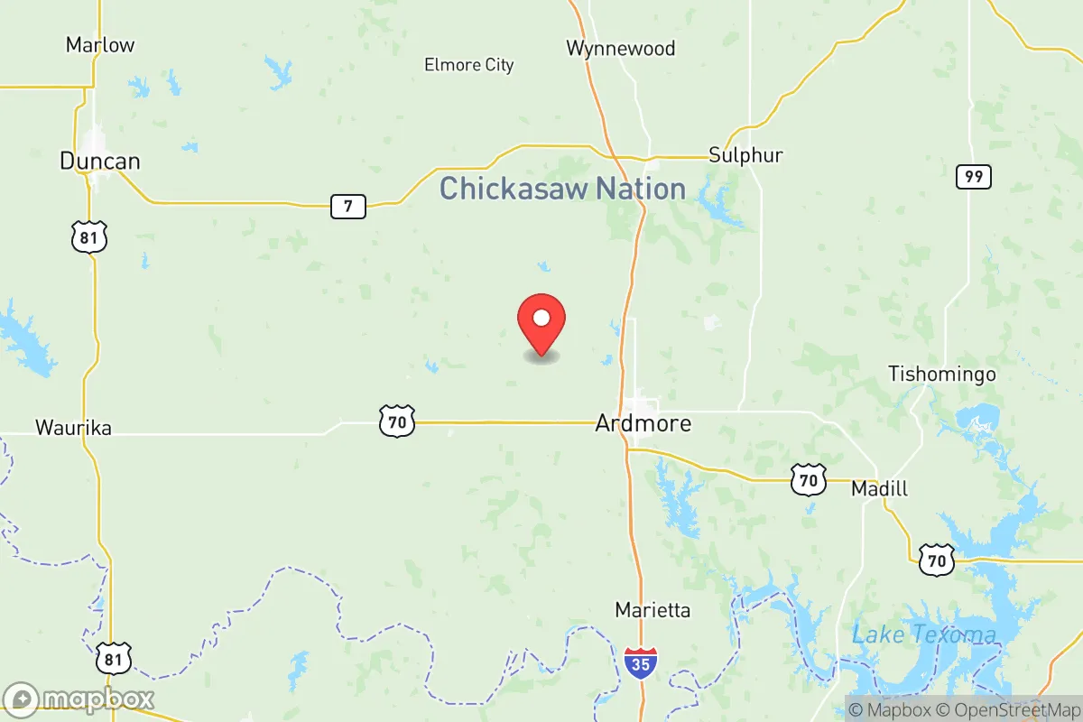
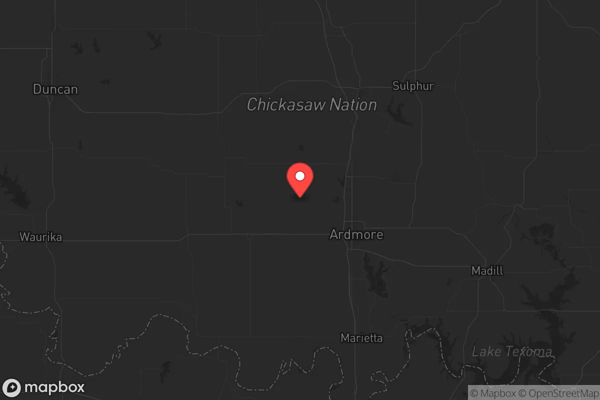
Strategic Assessment of Carter County
Workable tactical position. Some exposure to population density or targets, but generally defensible in a crisis.
What does the Strategic Assessment tell us?
Our Strategic Assessment grades tactical survivability of an area. Major population centers, military targets, fallout zones, natural disasters, and border exposure all drive risk — lower exposure means a more defensible position in a crisis.
This is heavily inspired by Joel Skousen's Strategic Relocation book. Highly recommended you checkout the book ($)What does this tell us?
Our Strategic Assessment grades tactical survivability of an area. Major population centers, military targets, fallout zones, natural disasters, and border exposure all drive risk — lower exposure means a more defensible position in a crisis.
This is heavily inspired by Joel Skousen's Strategic Relocation book. Highly recommended you checkout the book ($)Strategic Pillars

Key Distances
Strategic Assessment Analysis
Carter County, anchored by Ardmore and the Arbuckle Mountains, offers a strategic blend of isolation and access that appeals to those prioritizing self-reliance. Positioned roughly 90 miles from the Dallas-Fort Worth metroplex and 60 miles from Fort Sill, it provides a meaningful buffer from urban collapse while maintaining critical infrastructure connections. For a relocator thinking about civic unrest, mass casualty events, or natural disasters, this area presents a defensible middle ground—close enough to supply lines but far enough from the blast radius.
Geographic position and natural advantages for long-term security
Carter County sits in south-central Oklahoma where the rolling plains meet the Arbuckle Mountains, giving it a rare combo of defensible terrain and water security. The Arbuckle-Simpson Aquifer, one of the most productive freshwater sources in the region, lies directly underneath, meaning surface and groundwater access is above average compared to much of the Southern Plains. Lake Murray, a 5,700-acre reservoir just south of Ardmore, offers a reliable secondary water source and a natural barrier on the county's southern edge. The local topography includes ridges, valleys, and hardwood forests that provide both cover and concealment. From a strategic standpoint, this isn't flat, exposed farmland—it's terrain that gives a defender options. Interstate 35 runs through the heart of the county, providing north-south logistics, but the secondary road network, including US-77 and numerous county roads, allows for alternative routes if the main arteries get locked up. For someone concerned about supply chain disruptions or the need to move discreetly, that redundancy matters.
Risk exposures and proximity to fallout-relevant landmarks
No place is without risk, and Carter County has its share. The Valero Ardmore Refinery, located on the north side of Ardmore, processes roughly 100,000 barrels of crude per day and represents a clear industrial target. A major incident there—whether from accident or sabotage—could create a localized contamination zone and disrupt fuel supplies across the region. Interstate 35 itself is a double-edged sword: it moves goods and people, but in a collapse scenario it also moves chaos. The county sits within a few hours' drive of the Dallas-Fort Worth metroplex, a population center of over 7 million people, and a mass evacuation or civil unrest event there could push waves of refugees north. Fort Sill, to the west, and Tinker Air Force Base, to the north, are strategic military assets that could become either rally points or targets depending on the nature of the crisis. The positive side is that Carter County is far enough from major population centers to avoid the initial shockwave. The negative is that it's close enough to feel the ripple effects. For a prepper, the calculus is about time and distance: can you consolidate supplies and secure your position before the wave arrives? Here, the answer leans yes, but only with advance planning.
Practical resilience for a relocator: food, water, energy, and defensibility
Water is the non-negotiable, and Carter County delivers. The Arbuckle-Simpson Aquifer provides year-round flow to springs and wells, and the county's average annual rainfall of around 36 inches supports rain catchment systems. Lake Murray and the Washita River add surface-water options, though treatment will be necessary. For food, the county has a strong agricultural base—cattle, hay, and row crops are common—and the local growing season runs from April to October. Small-scale farming and gardening are viable, and the presence of the Arbuckle Mountains means wild game (deer, turkey, feral hogs) is abundant for those with the skills to harvest it. Energy infrastructure is mixed: the grid is fed by OG&E and rural electric cooperatives, but natural gas extraction in the region means propane and wellhead gas are available for those who can secure access. Solar potential is good—Oklahoma averages over 230 sunny days per year—and the terrain allows for off-grid setups on larger parcels. Defensibility varies by location. In-town properties in Ardmore or Lone Grove offer community support but less privacy. Rural parcels near Tatums, Fox, or the Hickory Creek area provide better isolation, natural choke points, and line-of-sight advantages. The key is to avoid being visible from I-35 or major county roads. A property with a spring, southern exposure for solar, and tree cover for concealment is the ideal setup here.
The overall strategic picture for Carter County is one of measured viability for a relocator with a conservative, self-reliant mindset. It's not a remote bunker in the Rockies, nor is it exposed prairie with no options. The water security is real, the terrain offers defensible positions, and the buffer from major urban centers buys time. But the refinery, the interstate, and the proximity to Dallas-Fort Worth and military installations mean that awareness and preparation are not optional—they're the price of admission. For someone willing to put in the work on property selection, supply stockpiling, and community networking, Carter County represents a solid regional hub in a federal emergency or long-term disruption scenario. It's a place you can hold, provided you see the risks clearly and don't mistake convenience for safety.
* Values derived from national, state, county, city and local statistics and may differ in a specific area. Last updated: 2026-06-01T23:31:28.000Z
Narrative content on this page is AI-generated and may contain mistakes. Verify any details that matter before acting on them.
ReloMaps may earn a commission from affiliate links at no extra cost to you.