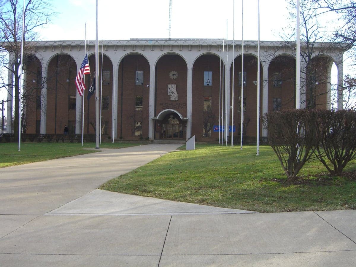
Photo: Wikipedia
Strategic Assessment of Richland County
Meaningful friction. Expect exposure to either population pressure, blast zones, or natural disaster risk. Consider buying a retreat property.
What does the Strategic Assessment tell us?
Our Strategic Assessment grades tactical survivability of an area. Major population centers, military targets, fallout zones, natural disasters, and border exposure all drive risk — lower exposure means a more defensible position in a crisis.
This is heavily inspired by Joel Skousen's Strategic Relocation book. Highly recommended you checkout the book ($)What does this tell us?
Our Strategic Assessment grades tactical survivability of an area. Major population centers, military targets, fallout zones, natural disasters, and border exposure all drive risk — lower exposure means a more defensible position in a crisis.
This is heavily inspired by Joel Skousen's Strategic Relocation book. Highly recommended you checkout the book ($)Strategic Pillars

Key Distances
Strategic Assessment Analysis
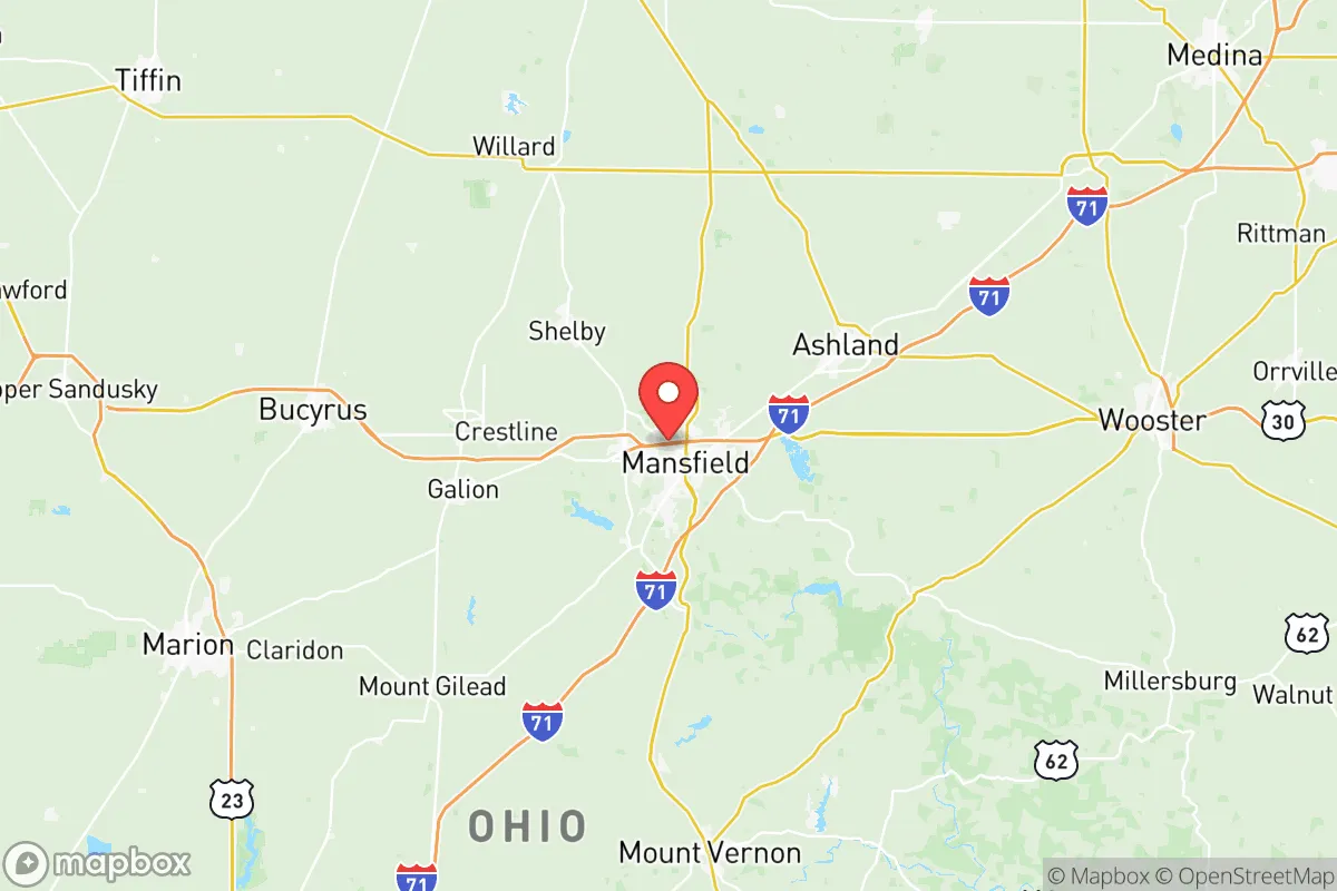
Richland County, Ohio, offers a compelling strategic position for relocation-minded readers prioritizing resilience and self-sufficiency, balancing proximity to major Great Lakes infrastructure with the insulation of a smaller, inland population center. Anchored by the city of Mansfield and the surrounding communities of Ontario, Shelby, and Bellville, the county sits roughly midway between Cleveland and Columbus, placing it within a two-hour drive of both metropolitan areas while remaining far enough removed to avoid their immediate fallout risks. The area's historical manufacturing base, including a legacy tied to the steel and automotive supply chains, provides a practical foundation of industrial skills and infrastructure that a prepared relocator can leverage, while the surrounding agricultural landscape offers a buffer of open space and local food potential.
Geographic position and natural advantages for preparedness
Richland County's location in north-central Ohio places it within the Appalachian Plateau region, offering a mix of rolling hills, forested tracts, and river valleys that provide natural defensibility and resource access. The county is drained by the Mohican River and its tributaries, including the Black Fork and Clear Fork, which converge near Loudonville to form the Mohican River proper — a water source that supports both recreation and potential off-grid water collection. The area's elevation, generally ranging from 1,000 to 1,400 feet above sea level, reduces flood risk compared to low-lying river towns, while the surrounding woodlands offer cover and fuel resources for those prepared to manage them. For a relocator, the proximity to the Mohican State Park and the extensive network of state forests and wildlife areas means that hunting, foraging, and timber resources are within a short drive, adding a layer of practical self-sufficiency that is rare in more urbanized Ohio counties.
Risks, exposures, and proximity to fallout-relevant landmarks
While Richland County avoids the direct blast and fallout zones of major metropolitan targets like Cleveland, Columbus, or the Toledo-area refineries, it is not without exposure. The county sits roughly 60 miles south of the Lake Erie shoreline, which hosts the Davis-Besse Nuclear Power Station near Oak Harbor — a potential target or accident site that could affect downwind areas depending on prevailing winds. Closer to home, the Mansfield Lahm Regional Airport hosts the Ohio Air National Guard's 179th Airlift Wing, a military installation that, while not a primary strategic target, could draw secondary attention in a conflict scenario. Additionally, the county's position along Interstate 71, a major north-south corridor connecting Cleveland to Cincinnati, means that fallout or refugee movement from those cities could pass through or near the area. For a relocator, the key mitigation is distance: Richland County is far enough from high-value targets that a well-stocked, rural property with a basement or storm shelter offers meaningful protection, provided one monitors wind patterns and has a plan for temporary sheltering.
Practical resilience for a relocator: food, water, energy, and defensibility
Richland County's agricultural base is a significant asset for food security. The county has over 1,200 farms covering roughly 200,000 acres, with major crops including corn, soybeans, and wheat, as well as a growing number of smaller-scale vegetable and livestock operations. Farmers' markets in Mansfield, Ontario, and Shelby provide direct access to local produce, while the county's Amish and Mennonite communities in the surrounding areas offer a network of small-scale food producers and craftspeople who operate outside the industrial supply chain. For water, the Mohican River watershed and numerous smaller creeks and ponds provide surface water sources, though well-drilling is common for rural properties and yields generally good-quality groundwater from the underlying sandstone and shale aquifers. Energy resilience is moderate: the county is served by the Ohio grid, but the presence of the Ohio Edison substations and natural gas pipelines running through the region means that a solar-plus-battery setup or a backup generator is advisable for those seeking true independence. Defensibility varies by location — properties in the more remote, wooded areas of the county's southern and eastern townships offer natural cover and limited road access, while those near the I-71 corridor or Mansfield's urban core are more exposed to potential movement and congestion.
Overall, Richland County presents a balanced strategic picture for the relocation-minded reader. It offers a solid mix of natural resources, agricultural capacity, and distance from primary targets, while remaining connected enough to access supplies and medical care in Mansfield's hospitals, including OhioHealth Mansfield Hospital and Avita Health System. The county's primary weakness is its position along a major interstate and its proximity to a military airfield, but for a prepared individual or family with a well-chosen rural property, these risks are manageable. For those seeking a Great Lakes-region relocation that prioritizes resilience without complete isolation, Richland County deserves serious consideration.

* Values derived from national, state, county, city and local statistics and may differ in a specific area. Last updated: 2026-06-26T15:50:28.000Z
Narrative content on this page is AI-generated and may contain mistakes. Verify any details that matter before acting on them.
ReloMaps may earn a commission from affiliate links at no extra cost to you.

