
Strategic Assessment of Mclean County
Strong survivability profile. Good buffer from population centers, with manageable environmental and tactical risks.
What does the Strategic Assessment tell us?
Our Strategic Assessment grades tactical survivability of an area. Major population centers, military targets, fallout zones, natural disasters, and border exposure all drive risk — lower exposure means a more defensible position in a crisis.
This is heavily inspired by Joel Skousen's Strategic Relocation book. Highly recommended you checkout the book ($)What does this tell us?
Our Strategic Assessment grades tactical survivability of an area. Major population centers, military targets, fallout zones, natural disasters, and border exposure all drive risk — lower exposure means a more defensible position in a crisis.
This is heavily inspired by Joel Skousen's Strategic Relocation book. Highly recommended you checkout the book ($)Strategic Pillars

Key Distances
Strategic Assessment Analysis
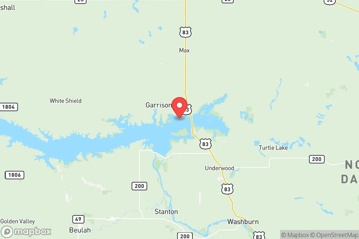
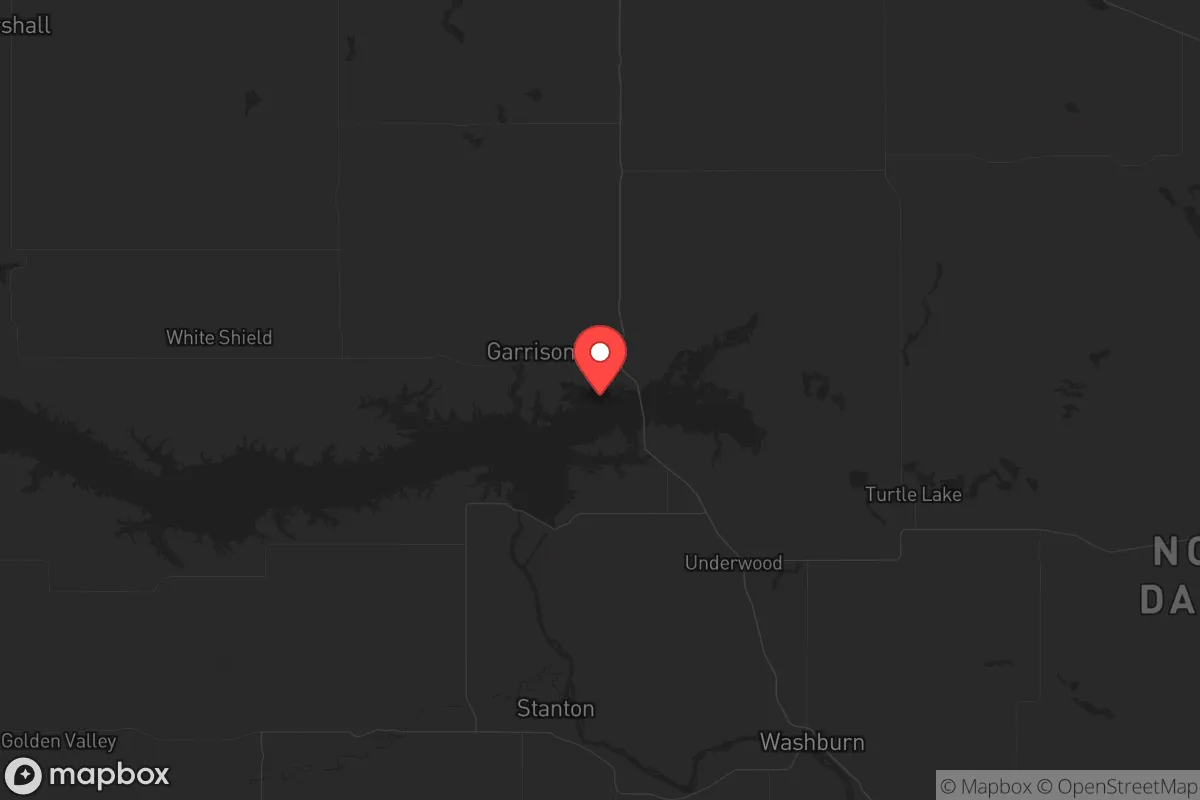
Mclean County, North Dakota, offers a compelling strategic position for relocators prioritizing resilience and self-sufficiency, combining the isolation of the Great Plains with the practical advantages of proximity to the Missouri River and the region's energy infrastructure. Its location roughly 80 miles northwest of Bismarck and 60 miles southeast of Minot places it outside the immediate blast and fallout zones of major population centers while still providing access to essential services and supply chains. The county's low population density—roughly 2.5 people per square mile—and its agricultural and energy-producing character make it a serious candidate for those seeking a defensible, resource-rich base of operations in the Upper Midwest.
Geographic position and natural advantages for long-term security
Mclean County sits at the confluence of two major geographic assets: the Missouri River and the Lake Sakakawea reservoir, which together provide a reliable, large-scale freshwater source that is rare in the arid West. The county's terrain is a mix of rolling plains, river breaks, and the Garrison Dam area, which offers both natural defensibility and access to hydroelectric power. The town of Garrison sits directly below the dam, giving residents a front-row seat to one of the region's most critical infrastructure nodes—the dam itself generates over 500 megawatts of electricity and controls Missouri River flows. Riverdale, adjacent to the dam, is a small community with direct access to the lake and the dam's maintenance workforce. The county's eastern edge, near Washburn, provides river access and proximity to the Fort Berthold Indian Reservation, which hosts significant oil and gas production. This combination of water, energy, and open land creates a strategic buffer: the county is far enough from the Bakken oil fields' densest drilling to avoid localized environmental risks, but close enough to benefit from the region's energy economy and infrastructure.
Risks, exposures, and proximity to fallout-relevant landmarks
The primary man-made risk in Mclean County is its proximity to the Garrison Dam and the associated hydroelectric and flood-control infrastructure. While the dam is well-maintained by the U.S. Army Corps of Engineers, a catastrophic failure—though extremely unlikely—would inundate downstream communities like Washburn and Bismarck. More realistically, the county sits within the fallout plume zone of Minot Air Force Base, located about 60 miles north, which houses nuclear-capable B-52 bombers and Minuteman III missile silos. In a conflict scenario, Minot is a high-priority target, and Mclean County would be downwind of any ground-level detonation or conventional strike on the base. The county also contains several active oil and gas wells, particularly around the Parshall and Ross areas, which pose localized risks of well blowouts, pipeline leaks, or associated gas flaring. Natural hazards are limited but real: the county experiences harsh winter storms, occasional tornadoes (typically EF0-EF2), and drought conditions that can stress agricultural water supplies. The Missouri River floodplain near Washburn and Underwood is subject to spring flooding, though the Garrison Dam mitigates the worst of it. Overall, the risk profile is moderate—lower than coastal or major urban areas, but not negligible due to the military and energy assets within a 100-mile radius.
Practical resilience for a relocator: food, water, energy, and defensibility
For a relocator focused on self-sufficiency, Mclean County offers strong fundamentals. Water is the standout asset: Lake Sakakawea, the third-largest man-made reservoir in the United States, provides a virtually unlimited freshwater supply for household use, irrigation, and livestock. The Missouri River itself is a reliable year-round source, and groundwater in the county is generally good quality, though some areas have high mineral content. Food production is viable: the county is a major producer of wheat, corn, soybeans, and hay, with ample pastureland for cattle and bison. Small-scale farming and gardening are straightforward given the fertile soils in the river valleys, though the short growing season (roughly 120 frost-free days) limits crop variety. Local food processing is limited—there are no large-scale mills or slaughterhouses in the county—but the towns of Garrison and Washburn have small grocery stores, and Bismarck is a 90-minute drive for bulk supplies. Energy is a major advantage: the Garrison Dam provides hydroelectric power to the region, and the county is crisscrossed by natural gas pipelines and electrical transmission lines. For off-grid setups, solar is viable (the area gets about 200 sunny days per year), and wind is strong but intermittent. Defensibility is mixed: the open plains offer long sightlines but little natural cover, making a rural homestead highly visible. However, the river breaks and wooded coulees near the lake provide some concealment, and the low population density means few neighbors to contend with. The county's road network is sparse—mostly two-lane highways and gravel roads—which limits mobility in winter but also restricts potential threats' access. The nearest law enforcement presence is the Mclean County Sheriff's Office in Washburn, with a small staff; response times in remote areas can exceed 30 minutes.
The overall strategic picture for Mclean County is one of moderate-to-high resilience with specific trade-offs. Its water and energy assets are exceptional by national standards, and its distance from major urban centers reduces exposure to societal collapse scenarios tied to cities like Bismarck or Minot. The presence of the Garrison Dam and Minot Air Force Base introduces targeted risks, but these are manageable with basic preparedness—such as having a fallout shelter plan and maintaining a 30-day supply of food and water. For a relocator who values self-sufficiency and is willing to accept harsh winters and limited services, Mclean County represents a solid, defensible base in the Northern Plains. The key is to choose a location away from the river floodplain and the dam's immediate downstream path—areas like the higher ground around Max or Benedict offer better long-term security while still accessing the county's core resources.

* Values derived from national, state, county, city and local statistics and may differ in a specific area. Last updated: 2026-06-22T20:02:14.000Z
Narrative content on this page is AI-generated and may contain mistakes. Verify any details that matter before acting on them.
ReloMaps may earn a commission from affiliate links at no extra cost to you.

