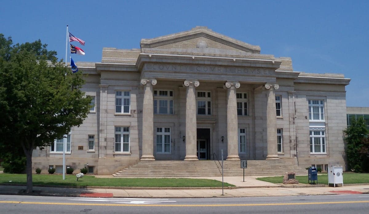
Photo: Wikipedia
Strategic Assessment of Rowan County
Meaningful friction. Expect exposure to either population pressure, blast zones, or natural disaster risk. Consider buying a retreat property.
What does the Strategic Assessment tell us?
Our Strategic Assessment grades tactical survivability of an area. Major population centers, military targets, fallout zones, natural disasters, and border exposure all drive risk — lower exposure means a more defensible position in a crisis.
This is heavily inspired by Joel Skousen's Strategic Relocation book. Highly recommended you checkout the book ($)What does this tell us?
Our Strategic Assessment grades tactical survivability of an area. Major population centers, military targets, fallout zones, natural disasters, and border exposure all drive risk — lower exposure means a more defensible position in a crisis.
This is heavily inspired by Joel Skousen's Strategic Relocation book. Highly recommended you checkout the book ($)Strategic Pillars

Key Distances
Strategic Assessment Analysis
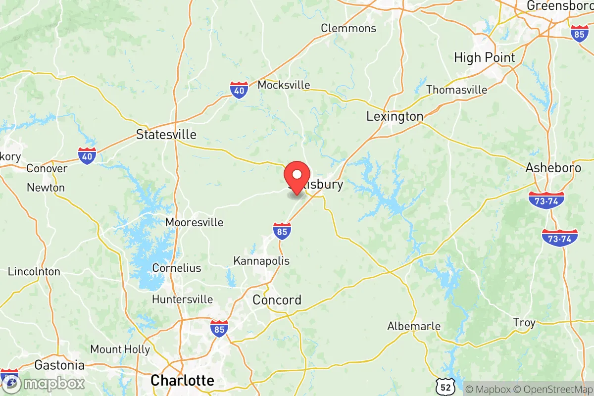
Rowan County, North Carolina, sits in that sweet spot between the Charlotte metro sprawl and the Triad, offering a strategic mix of rural buffer zone and functional infrastructure. It's not a fortress, but for someone thinking about long-term stability, community resilience, and avoiding the worst fallout of urban collapse, Salisbury and its surrounding towns like Cleveland, Rockwell, and Faith deserve a close look. The county's industrial history, water resources, and location along the Yadkin River give it a foundation that many relocation targets can't match, though proximity to two nuclear plants demands honest planning.
Geographic position and natural buffers: Why Rowan County sits at a strategic crossroads
Rowan County anchors the Piedmont region between Charlotte (40 miles south) and Greensboro (45 miles north). That position is both a strength and a vulnerability. On one hand, you're far enough from major metro centers to dodge the worst of civil unrest or disease spread that would hit a dense city first. On the other, you're close enough to infrastructure—I-85 and I-40 pass within 20 minutes of Salisbury—to access medical, supply, and evacuation routes when needed. The Yadkin River cuts through the county's western side, feeding High Rock Lake, a major 15,000-acre reservoir that provides a reliable surface water source and natural fish protein. The Uwharrie National Forest, about 30 miles east, adds a public-land buffer and hardwood timber for fuel or construction. The terrain is rolling Piedmont, not mountainous, so defensibility comes more from rural road choke points than steep ridgelines. Towns like Spencer, East Spencer, and Granite Quarry offer established small communities with century-old street grids that can be secured more easily than suburban subdivisions. The county's historical role as a rail hub (Norfolk Southern's mainline runs through Spencer) means heavy freight corridors are close—good for supply, but also a potential target if industrial sabotage spikes.
Fallout proximity, industrial targets, and corridor risks in Rowan County
Let's be direct: Rowan County sits less than 20 miles from two active nuclear power plants—McGuire Nuclear Station (south, near Huntersville) and Catawba Nuclear Station (southwest, near Clover, SC). In a major event, fallout patterns from either plant would likely drift north or northeast depending on weather, putting the entire southern half of the county in a plume zone. That's the single biggest exposure a relocator here needs to accept and plan for. Beyond nuclear, Charlotte Douglas International Airport, 45 minutes south, is a natural vector for disease or a terrorist CBRN event. The I-85 corridor near the county lines also sees heavy truck traffic carrying industrial chemicals and fuels—a crash or deliberate attack on a tanker could contaminate a wide area. On the military side, Fort Liberty (formerly Fort Bragg) is roughly 90 minutes southeast, a major special operations hub that would likely remain operational but could draw retaliatory strikes in a conflict scenario. Closer to home, the Salisbury VA Medical Center is a regional healthcare anchor, but its capacity would be overwhelmed quickly in a mass casualty event. The rail yard at Spencer, once the largest in the world, still sees substantial freight—including hazardous materials—transiting through the heart of the county. From a prepper perspective, the western half of Rowan (toward Cleveland and the river) offers the best distance from these industrial and nuclear risks, while the eastern side near Rockwell and Granite Quarry is closer to Uwharrie and slightly less vulnerable.
Practical daily resilience: Water, food, energy, and defensibility in Rowan County
Water access is solid. The Yadkin River and its tributaries run through the county, and many rural properties on acreage can drill wells at reasonable depths—average well depth in Rowan is around 150-250 feet with good yield. High Rock Lake is a 15,000-acre surface reservoir with fishing and small-craft access. The City of Salisbury draws from the Yadkin, so municipal water is treated and reliable, but you'll want a backup plan if treatment plants go down. Food resilience is above average for the region: Rowan has a working agricultural base of row crops (soy, corn, wheat), pasture, and small orchards. The Rowan County Farmers Market in Salisbury operates year-round, and local farms in the Mount Ulla and China Grove areas do CSAs and direct sales. Deer and small game are plentiful in the woodlots and Uwharrie National Forest. Energy comes from Duke Energy's grid, which has above-average tree-trimming but is vulnerable to ice storms and geomagnetic disturbances. Solar is viable—the county gets about 210 sunny days per year, enough to make panels worthwhile with battery storage. Propane is common for rural heating; bulk suppliers in Salisbury and Cleveland keep operations active. Defensibility is moderate. The terrain is gentle, so you can't rely on elevation for protection, but the network of two-lane county roads (like NC 152, NC 801, and US 52) gives multiple egress options if a highway gets locked down. Rural subdivisions near Rockwell and Faith offer wooded lots with mutual-support neighbors. The county's overall low population density—just under 150,000 people in 524 square miles—means you can achieve real privacy on 5+ acres without being isolated from a reliable community.
The strategic picture for Rowan County is one of cautious opportunity. You get Piedmont geography, a solid water source, and a mix of rural acreage and historic small towns that can function as mutual-aid nodes. The big trade-off is the short distance to two nuclear plants, which demands serious sheltering and evacuation planning. If you can accept that risk, the county's buffered position between Charlotte and Greensboro, its agricultural base, and its transportation connections make it a strong candidate for a relocation that balances safety with access to the wider East Coast. For the single individual or family willing to invest in a rural property with well water, solar, and a good fallout shelter, Rowan County earns a serious look in the 2026 landscape.
* Values derived from national, state, county, city and local statistics and may differ in a specific area. Last updated: 2026-06-06T01:06:35.000Z
Narrative content on this page is AI-generated and may contain mistakes. Verify any details that matter before acting on them.
ReloMaps may earn a commission from affiliate links at no extra cost to you.