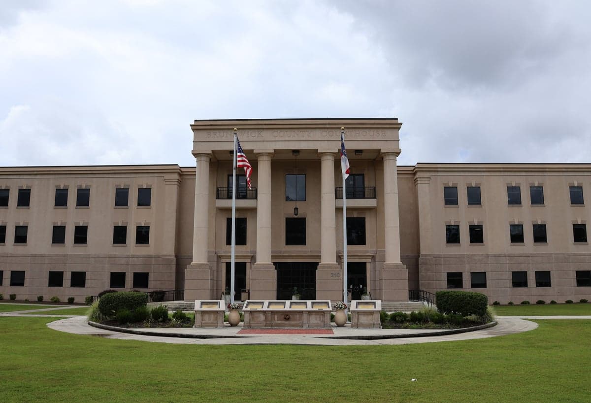
Photo: Wikipedia
Strategic Assessment of Brunswick County
Meaningful friction. Expect exposure to either population pressure, blast zones, or natural disaster risk. Consider buying a retreat property.
What does the Strategic Assessment tell us?
Our Strategic Assessment grades tactical survivability of an area. Major population centers, military targets, fallout zones, natural disasters, and border exposure all drive risk — lower exposure means a more defensible position in a crisis.
This is heavily inspired by Joel Skousen's Strategic Relocation book. Highly recommended you checkout the book ($)What does this tell us?
Our Strategic Assessment grades tactical survivability of an area. Major population centers, military targets, fallout zones, natural disasters, and border exposure all drive risk — lower exposure means a more defensible position in a crisis.
This is heavily inspired by Joel Skousen's Strategic Relocation book. Highly recommended you checkout the book ($)Strategic Pillars

Key Distances
Strategic Assessment Analysis
Brunswick County, North Carolina, occupies a strategic position along the southeastern coast that balances significant natural advantages with real exposure to both natural and man-made risks. For a relocator prioritizing disaster readiness and self-sufficiency, the county offers a mix of defensible geography, access to critical infrastructure, and proximity to potential fallout zones that demands careful assessment. The area’s resilience hinges on understanding its location relative to major military installations, industrial targets, and the Atlantic hurricane corridor.
Geographic position and natural advantages for self-sufficiency
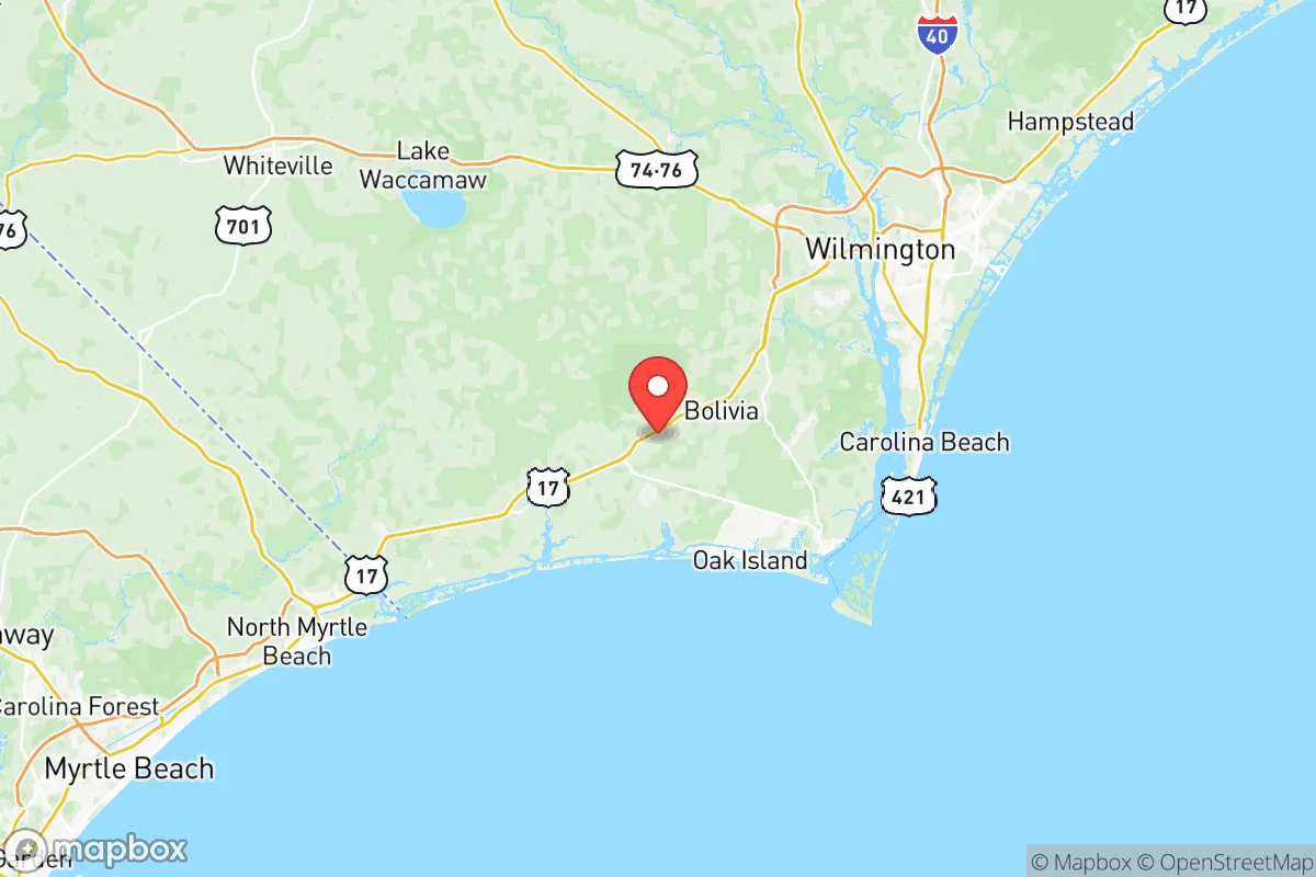
Brunswick County sits at the southernmost tip of the North Carolina coast, bordered by the Atlantic Ocean to the south and the Cape Fear River to the east. Its geography provides several inherent advantages for those seeking a more self-reliant lifestyle. The county is largely rural, with the Brunswick River and the Waccamaw River offering abundant freshwater sources and potential for small-scale hydropower or irrigation. The area’s coastal plain is flat but well-drained, with sandy soils that support agriculture—particularly row crops like corn, soybeans, and sweet potatoes—as well as livestock grazing. The Green Swamp and Lake Waccamaw provide natural water storage and biodiversity, which can buffer against drought and support hunting, fishing, and foraging. The county’s location roughly 30 miles south of Wilmington and 45 miles north of Myrtle Beach, South Carolina places it within a day’s drive of multiple regional supply hubs, but its rural character means most residents are not immediately dependent on those urban centers for daily survival. The Intracoastal Waterway runs through the county, offering a protected inland route for transport and evacuation, while the Brunswick County Airport in Oak Island provides a secondary airfield for emergency logistics.
Risks, exposures, and proximity to fallout-relevant landmarks
The same geography that offers advantages also exposes Brunswick County to significant risks. The most immediate natural threat is hurricanes. The county’s entire coastline—including the barrier islands of Oak Island, Holden Beach, and Sunset Beach—is vulnerable to storm surge, with the Cape Fear River acting as a funnel for inland flooding. Hurricane Florence in 2018 caused widespread damage, with some areas seeing over 30 inches of rain and prolonged power outages. Storm surge from a Category 3 or higher storm could inundate much of the coastal plain, including parts of Southport and Boiling Spring Lakes. Beyond weather, the county’s proximity to Camp Lejeune Marine Corps Base (about 50 miles northeast) and Fort Bragg (now Fort Liberty) (about 90 miles northwest) makes it a potential secondary target in a conflict scenario. The Brunswick Nuclear Plant, located near Southport, is a dual-unit facility that generates power for the region but also represents a risk of radiological release in the event of a natural disaster or attack. The plant’s proximity to the coast and the Cape Fear River means any incident could affect water supplies and evacuation routes. Additionally, the Port of Wilmington (about 25 miles east) and the Sunoco Logistics pipeline that runs through the region are critical infrastructure that could draw attention in a crisis. The county’s reliance on two major bridges—the Brunswick River Bridge (US 17) and the Cape Fear Memorial Bridge (US 76/17)—for east-west movement creates a chokepoint that could hinder evacuation or resupply if damaged.
Practical resilience for a relocator: food, water, energy, and defensibility
For a relocator focused on practical self-sufficiency, Brunswick County offers a mixed picture. Water access is a strength: the county sits atop the Castle Hayne aquifer, a deep, high-quality groundwater source that supplies most private wells and municipal systems. Many rural properties have their own wells, reducing dependence on centralized water treatment. However, saltwater intrusion is a growing concern in coastal areas, and wells near the Intracoastal Waterway may require treatment. Food production is viable but not abundant. The county has over 400 farms, mostly small operations, and the Brunswick County Farmers Market in Shallotte provides a local outlet. Hunting is popular—deer, turkey, and waterfowl are common—and the Green Swamp offers public hunting access. Fishing in the Atlantic, the Cape Fear River, and the Intracoastal Waterway is excellent, with flounder, red drum, and shrimp available seasonally. Energy resilience is a concern. The grid is vulnerable to storm damage, and Duke Energy is the primary provider, with limited solar penetration compared to other parts of the state. However, the county’s flat terrain and average 210 sunny days per year make solar panels a viable option for off-grid setups. Propane and wood are common backup heating sources. Defensibility is moderate. The county’s rural layout—with scattered subdivisions, farmland, and forest—makes it harder to secure a perimeter than a compact community, but the Brunswick River and Waccamaw River provide natural barriers to the east and west. The Brunswick County Sheriff’s Office is well-regarded, with a response time of under 15 minutes in most areas, but the county’s population of about 150,000 (and growing) means that law enforcement resources could be stretched in a prolonged crisis. The Brunswick County Emergency Services maintains a robust network of fire and EMS stations, but the county’s low population density (about 150 people per square mile) means that help may be farther away in remote areas like Supply or Ash.
The overall strategic picture for Brunswick County is one of calculated trade-offs. Its coastal location offers abundant natural resources—water, fish, farmland—and a relatively low population density that supports a self-sufficient lifestyle. But those same advantages come with exposure to hurricanes, storm surge, and proximity to military and industrial targets that could become liabilities in a broader crisis. For a relocator who is willing to invest in storm hardening, backup power, and a well-maintained private water source, the county provides a defensible base with access to multiple evacuation routes and supply chains. The key is to choose a location inland—away from the barrier islands and the Cape Fear River floodplain—and to build a network of local contacts for mutual aid. Brunswick County is not a fortress, but for those who understand its risks and prepare accordingly, it offers a viable foundation for long-term resilience.

* Values derived from national, state, county, city and local statistics and may differ in a specific area. Last updated: 2026-09-29T07:51:12.000Z
Narrative content on this page is AI-generated and may contain mistakes. Verify any details that matter before acting on them.
ReloMaps may earn a commission from affiliate links at no extra cost to you.

