
Photo: Wikipedia
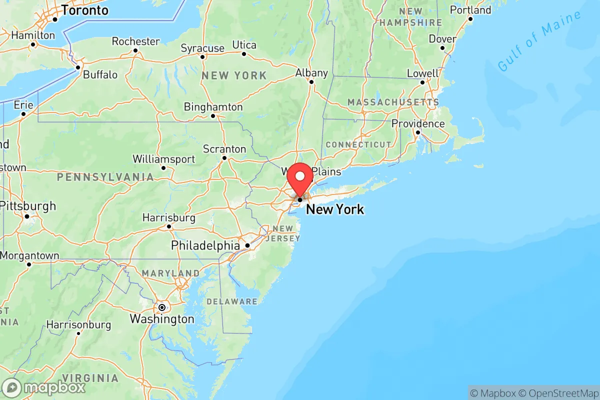
Strategic Assessment of New York
High tactical risk. This location is likely close to major population centers, strategic targets, or sits in a high-disaster corridor. A retreat property and careful exit planning is required.
What does the Strategic Assessment tell us?
Our Strategic Assessment grades tactical survivability of an area. Major population centers, military targets, fallout zones, natural disasters, and border exposure all drive risk — lower exposure means a more defensible position in a crisis.
This is heavily inspired by Joel Skousen's Strategic Relocation book. Highly recommended you checkout the book ($)What does this tell us?
Our Strategic Assessment grades tactical survivability of an area. Major population centers, military targets, fallout zones, natural disasters, and border exposure all drive risk — lower exposure means a more defensible position in a crisis.
This is heavily inspired by Joel Skousen's Strategic Relocation book. Highly recommended you checkout the book ($)Regional Safe Places
Below is our recommended "safe zones" in New York and the surrounding area based on our strategic heuristics. For most people, it's unrealistic to live in a “safe zone” full-time due to work, family or other personal reasons. They tend to be more rural. However, many of these areas are perfect for second homes and retreat properties that double as a vacation home or even a short-term rental.


Important Note: For informational purposes only. This does not mean nothing bad ever happens in the green zones. Please use common sense. This is based on public data and modeled with AI. We tried to take a conservative approach but mistakes happen. We update this regularly as new information becomes available.
Solar Generator Recommendations
Backup power matters more here than in safer locations. We've picked three solar generators across budgets and capacity tiers — start with the budget unit if you only need a few essentials, or step up if you want to run a fridge and HVAC for days at a time.

Jackery Portable Power Station Explorer 300
Budget OptionPower on the Go: Weighing only 11 lbs, it's convenient to set up and store with book-sized foldable solar panels

BLUETTI Portable Power Station AC180
Designed for both indoor and outdoor scenarios, AC180 is highly capable as it has a robost capacity and continuous output power.

EF ECOFLOW DELTA Pro Ultra Power Station
Upgraded PickEcoFlow DELTA Pro Ultra is a whole-home energy system designed to grow with your family. Integrated with the Smart Home Panel 2, it scales to meet your evolving energy needs — keeping your home powered, intelligent, and secure through every stage of life.
We earn a commission, at no additional cost to you.
Strategic Assessment Analysis
New York City's position at the mouth of the Hudson River, with its deep natural harbor and access to the Atlantic, has made it a global economic powerhouse. But from a prepper's standpoint, that same geography creates a series of vulnerabilities: the city's five boroughs are largely islands or peninsulas, meaning egress is limited to a handful of bridges and tunnels that can be choked off in a crisis. Its concentration of population, finance, and media makes it a high-value target for both physical and cyber attacks, while its reliance on external supply lines for food, water, and energy leaves it with just days of self-sufficiency.
How New York City's islands, waterways, and regional setting shape its strategic value
The city sits at the confluence of the Hudson and East Rivers, with Upper New York Bay serving as the gateway to the Atlantic. This natural harbor was the engine of its growth, but for a survival-focused relocator, those same waterways act as moats that restrict movement. The Hudson River to the west, the East River splitting Manhattan from Queens and Brooklyn, and the Harlem River to the north create natural choke points. The Verrazzano-Narrows Bridge, the Brooklyn Bridge, and the Manhattan Bridge are just a few of the limited crossings that can become gridlocked or impassable in minutes during an evacuation. The surrounding terrain offers some advantages: the New Jersey Palisades rise to the west, and the Appalachian foothills start about 50 miles north. But within the city limits, elevation is a liability — much of Lower Manhattan sits at less than 10 feet above sea level, making it vulnerable to storm surge from hurricanes that track up the coast. Long Island Sound to the east adds another water barrier. For anyone serious about a strategic relocation, the geographic package here is a double-edged sword: the waterways that built the city's wealth also box it in during a crisis.
Critical target exposure, fallout risks, and proximity to high-value infrastructure
New York City packs more strategic targets per square mile than any other place in the country. The financial district around Wall Street is an obvious node, but the list goes on: the United Nations headquarters, One World Trade Center, the Federal Reserve Bank, and the media empires in Midtown all make the city a prime target for state-based adversaries or organized disruption. The city's dependence on a few critical infrastructure links creates single points of failure. The Holland and Lincoln Tunnels under the Hudson, the Queens-Midtown and Brooklyn-Battery Tunnels under the East River, and the major bridges all represent bottlenecks that could be taken out or compromised. Port Newark-Elizabeth in New Jersey, just across the bay, is the busiest container port on the East Coast — a strategic asset that also makes the region a target for maritime disruption. JFK and LaGuardia airports are high-profile transit hubs that could be used for mass casualty events or become logistical nightmares during a pandemic. Even the decommissioned Indian Point nuclear facility, roughly 35 miles up the Hudson, still houses spent fuel on site, adding a low-probability but high-consequence fallout risk to the region. The density of the population — over 8 million in the five boroughs — means that a chemical, biological, or radiological event would spread faster and affect more people than almost anywhere else. For the prepper mindset, the risk calculus here is off the charts.
What daily resilience looks like for a relocator: food, water, energy, and defensibility
New York City is almost entirely dependent on supply chains that cross bridges and tunnels daily. Most grocery stores carry only a three- to five-day supply of food on their shelves, and the city's food distribution network relies on trucking from massive warehouses in the Hackensack Meadowlands region of New Jersey. Water comes from the Catskill and Delaware watersheds via the Catskill Aqueduct and Delaware Aqueduct — both aging pieces of infrastructure that cross fault lines and can be contaminated by sabotage or natural failure. The energy grid, managed by Con Edison, is a dense underground network of cables and transformers that is notoriously difficult to repair after storms or attacks. Blackouts are a recurring reality, and the city's skyscrapers rely on backup generators that can fail under extended strain. For defensibility, the picture is grim for individuals: most housing is in multi-unit buildings with shared walls, limited egress, and no room for stockpiling supplies or ammunition. Suburban areas like Staten Island or parts of Queens offer slightly more space and single-family homes, but they still lie within the same vulnerability envelope. A relocator without a pre-planned bug-out location at least 100 miles away, preferably in the Catskills or rural Pennsylvania, is essentially betting against the odds.
The overall strategic picture for New York City is clear: its global advantages are the same traits that make it a high-consequence environment when things go sideways. The city offers unmatched economic opportunity and cultural density, but from a survivalist standpoint, it is one of the hardest places to secure, defend, and sustain. A relocator who chooses NYC must think in layers — secure the apartment with multiple exits, build a robust grab-and-go kit, and route a bug-out plan to a secondary location outside the metro area. For anyone whose priority is resilience, New York City is better visited than lived in.
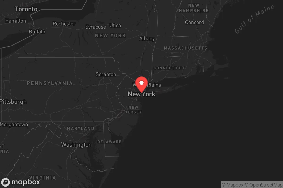
Top 10 Cities by Strategic Assessment in New York


* Values derived from national, state, county, city and local statistics and may differ in a specific area. Last updated: 2026-06-03T00:47:32.000Z
Narrative content on this page is AI-generated and may contain mistakes. Verify any details that matter before acting on them.
ReloMaps may earn a commission from affiliate links at no extra cost to you.