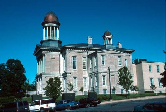
Photo: Wikipedia
Strategic Assessment of Oswego County
Meaningful friction. Expect exposure to either population pressure, blast zones, or natural disaster risk. Consider buying a retreat property.
What does the Strategic Assessment tell us?
Our Strategic Assessment grades tactical survivability of an area. Major population centers, military targets, fallout zones, natural disasters, and border exposure all drive risk — lower exposure means a more defensible position in a crisis.
This is heavily inspired by Joel Skousen's Strategic Relocation book. Highly recommended you checkout the book ($)What does this tell us?
Our Strategic Assessment grades tactical survivability of an area. Major population centers, military targets, fallout zones, natural disasters, and border exposure all drive risk — lower exposure means a more defensible position in a crisis.
This is heavily inspired by Joel Skousen's Strategic Relocation book. Highly recommended you checkout the book ($)Strategic Pillars

Key Distances
Strategic Assessment Analysis
Oswego County, New York, offers a compelling mix of strategic depth and practical resilience for those prioritizing disaster readiness and self-sufficiency. Its position on the eastern shore of Lake Ontario, away from the dense urban corridors of the Northeast, provides a natural buffer against many of the cascading failures that can plague major metropolitan areas. The county’s economy is rooted in manufacturing, agriculture, and energy production, giving it a functional backbone that supports a more independent lifestyle than what is found in the suburbs of Syracuse or Rochester.
Geographic position and natural advantages for long-term stability
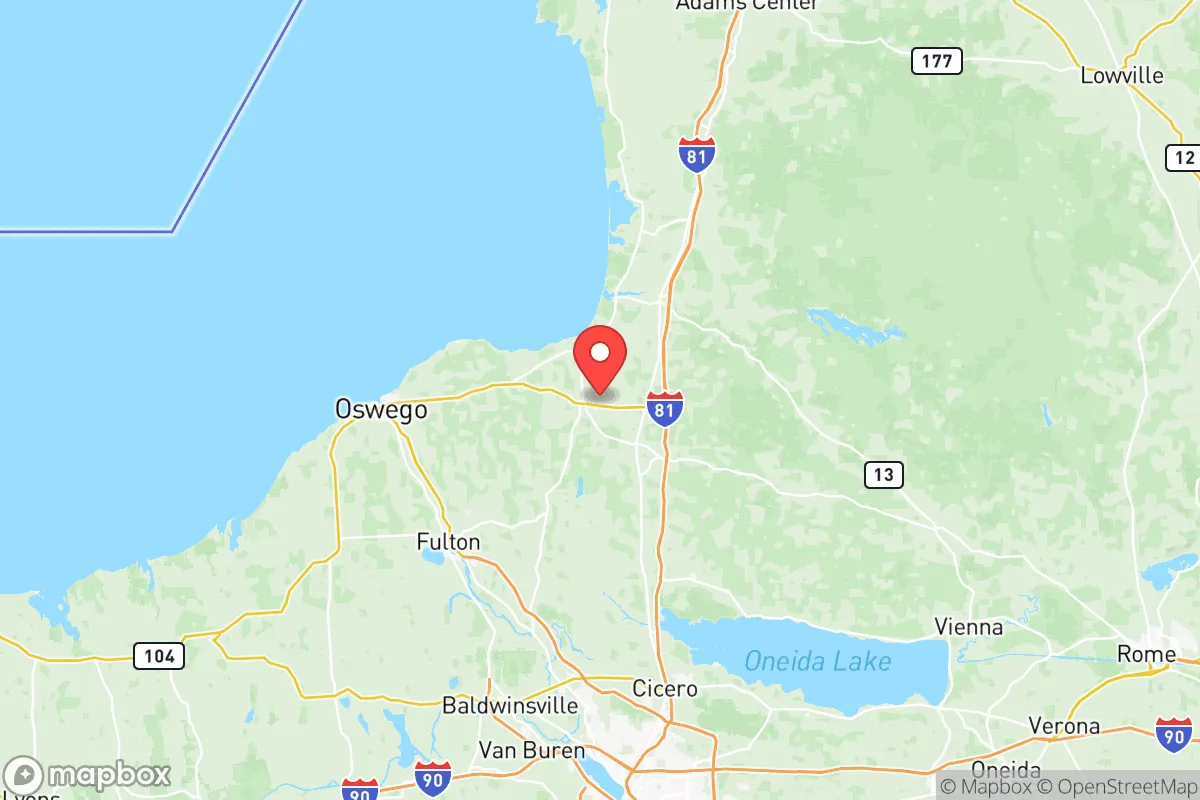
Oswego County’s primary strategic asset is its location. The county sits at the eastern end of Lake Ontario, the smallest of the Great Lakes, which provides a massive, reliable freshwater source that is less susceptible to drought than inland reservoirs. The city of Oswego itself is the county seat and a historic port, giving residents direct access to the St. Lawrence Seaway system. To the south, the county is bordered by the Tug Hill Plateau, a sparsely populated, heavily forested region that acts as a natural barrier and a potential retreat area. The towns of Pulaski, Mexico, and Fulton are the main population centers, all situated along major waterways like the Oswego River and Salmon River. This network of rivers and the lake creates a defensible geography: any approach from the south or east must cross significant terrain, while the lake to the north provides a natural moat. The region’s cold winters and deep snowpack also serve as a deterrent to unprepared movement, effectively limiting access during the most vulnerable months.
Risks, exposures, and proximity to fallout-relevant landmarks
No location is without risk, and Oswego County has specific exposures that a relocator must weigh. The most significant is the James A. FitzPatrick Nuclear Power Plant, located in the town of Scriba, just north of Oswego city. This is a single-unit boiling water reactor that has been in operation since the 1970s. While the plant is a source of local employment and tax revenue, it represents a clear, if low-probability, risk of radiological release. The county’s emergency planning zones extend 10 miles around the plant, covering much of the northern shoreline. Additionally, the county is home to the Nine Mile Point Nuclear Generating Station, a two-unit facility adjacent to FitzPatrick. This concentration of nuclear infrastructure means that a major incident at either site would directly impact the entire northern half of the county. Beyond nuclear risks, the county is exposed to severe lake-effect snowstorms, which can drop several feet of snow in a single event, paralyzing transportation and cutting off access to supplies. The I-81 corridor, which runs north-south through the county, is frequently closed during these storms. There are no major military bases or high-value industrial targets like refineries within the county, which reduces its attractiveness as a primary target in a conflict scenario, but the proximity to the nuclear plants is the single greatest man-made risk to consider.
Practical resilience for a relocator: food, water, energy, and defensibility
For someone serious about self-sufficiency, Oswego County scores well on the fundamentals. Water is abundant: Lake Ontario is a virtually inexhaustible supply, and the county’s numerous rivers and groundwater aquifers provide redundancy. Most rural properties rely on private wells, which are less vulnerable to municipal system failures. Food production is viable: the county has a strong agricultural sector, with dairy farms, apple orchards, and vegetable operations concentrated in the towns of Mexico, Williamstown, and Parish. The growing season is short (roughly 140 days), but the soil is fertile in the lake plain. Local farmers' markets and CSAs are common, and hunting (deer, turkey, waterfowl) and fishing (Salmon River, Lake Ontario) are excellent. Energy is a mixed picture: the county is a net exporter of electricity due to the nuclear plants and several hydroelectric dams on the Oswego River. However, the grid is vulnerable to ice storms and heavy snow. Natural gas is available in the more populated areas, but rural homes often rely on propane or heating oil. Solar potential is moderate due to cloud cover, but wind energy is viable along the lake shore. Defensibility is strong: the county’s low population density (roughly 120,000 people spread over 1,000 square miles) means that most properties are isolated by distance. The Tug Hill region to the east offers deep forests and limited road access, making it a natural redoubt. The major highways (I-81, NY-104, NY-48) provide chokepoints that could be monitored or controlled. The local population is generally rural and self-reliant, with a strong tradition of hunting, fishing, and wood heating, which aligns well with a preparedness mindset.
Overall, Oswego County presents a balanced strategic picture for the disaster-conscious relocator. Its greatest strengths are its abundant freshwater, low population density, and distance from major urban targets. The primary liability is the concentration of nuclear power plants on the lake shore, which requires a clear understanding of emergency plans and prevailing wind patterns. For a family or individual willing to invest in winter preparedness, a backup heating source, and a solid water filtration system, the county offers a defensible, resource-rich environment that is far enough from the chaos of the Northeast Corridor to provide genuine breathing room, yet close enough to Syracuse (45 minutes) for access to medical and supply infrastructure when conditions are stable.

* Values derived from national, state, county, city and local statistics and may differ in a specific area. Last updated: 2026-08-14T12:32:11.000Z
Narrative content on this page is AI-generated and may contain mistakes. Verify any details that matter before acting on them.
ReloMaps may earn a commission from affiliate links at no extra cost to you.

