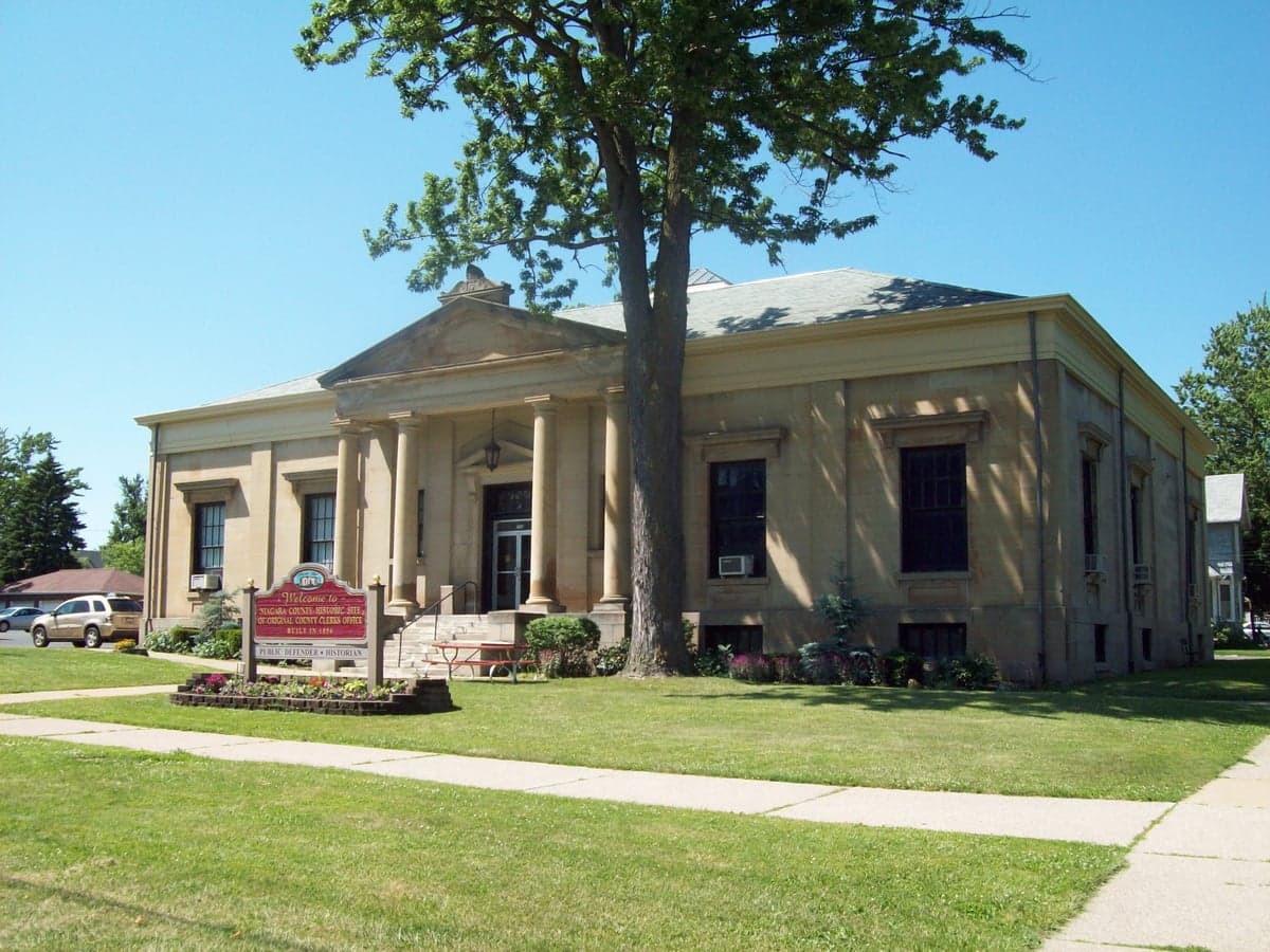
Photo: Wikipedia
Strategic Assessment of Niagara County
Meaningful friction. Expect exposure to either population pressure, blast zones, or natural disaster risk. Consider buying a retreat property.
What does the Strategic Assessment tell us?
Our Strategic Assessment grades tactical survivability of an area. Major population centers, military targets, fallout zones, natural disasters, and border exposure all drive risk — lower exposure means a more defensible position in a crisis.
This is heavily inspired by Joel Skousen's Strategic Relocation book. Highly recommended you checkout the book ($)What does this tell us?
Our Strategic Assessment grades tactical survivability of an area. Major population centers, military targets, fallout zones, natural disasters, and border exposure all drive risk — lower exposure means a more defensible position in a crisis.
This is heavily inspired by Joel Skousen's Strategic Relocation book. Highly recommended you checkout the book ($)Strategic Pillars

Key Distances
Strategic Assessment Analysis
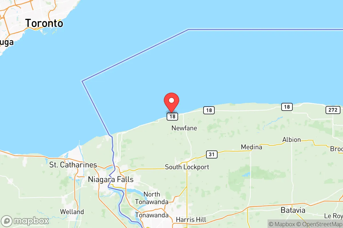
Niagara County, New York, offers a unique strategic profile for relocators prioritizing resilience and self-sufficiency, balancing the advantages of a Great Lakes border location with the inherent risks of proximity to major industrial and population centers. Its position at the nexus of Lake Erie, Lake Ontario, and the Niagara River provides abundant freshwater and natural barriers, while its distance from major metropolitan fallout zones like New York City and Washington D.C. offers a degree of geographic insulation. However, the county’s own critical infrastructure—including the Niagara Falls power project, the Lewiston-Queenston Bridge, and the U.S. Army’s Niagara Falls Air Reserve Station—creates a distinct set of vulnerabilities that a serious preparedness-minded individual must weigh.
Geographic position and natural advantages for self-sufficiency
Niagara County’s primary strategic asset is its access to the largest surface freshwater system in the world. The Niagara River, which connects Lake Erie to Lake Ontario, flows through the county, providing a virtually inexhaustible water source for drinking, irrigation, and potential hydropower. The Niagara Escarpment, a prominent geological feature running east-west through the county, offers elevated terrain with natural defensibility in areas like the Town of Lewiston and the Village of Youngstown, which sit atop the escarpment with commanding views of the river valley below. The county’s position on the eastern shore of Lake Ontario also provides a moderating effect on climate, reducing extreme temperature swings compared to inland areas, and the lake-effect snow, while heavy, creates a reliable annual snowpack that can be a water source during dry spells. The region’s agricultural potential is significant: the fertile lake plains south of the escarpment, particularly around the towns of Lockport and Newfane, support robust fruit and vegetable farming, with a growing network of small-scale farms and orchards that could form the basis of a local food system in a disruption scenario. The county’s relatively low population density—roughly 210,000 people spread across 524 square miles—means that even in a crisis, competition for resources would be less intense than in the Buffalo metro core just to the south.
Risks, exposures, and proximity to fallout-relevant landmarks
The same infrastructure that powers the region also creates its most significant vulnerabilities. The Niagara Falls hydroelectric plants (the Robert Moses Niagara Power Plant and the Lewiston Pump-Generating Plant) are among the largest in the United States, generating over 2.4 gigawatts of electricity. While this provides a resilient local power source, these facilities are obvious targets for both physical attack and cyber disruption. The Niagara Falls Air Reserve Station, home to the 914th Air Refueling Wing and the New York Air National Guard’s 107th Attack Wing, is a military installation that could become a focal point in a conflict, drawing retaliatory strikes or serving as a staging area for operations. The Lewiston-Queenston Bridge, a major international crossing connecting to Ontario, is a critical chokepoint for trade and travel; its destruction or closure would severely disrupt supply chains and potentially strand residents. The county also sits within 150 miles of the Buffalo Niagara International Airport and the Buffalo harbor, a major Great Lakes shipping port handling grain, coal, and petroleum products. While not a direct fallout risk, the concentration of industrial activity along the Niagara River corridor—including chemical plants and refineries in the City of Niagara Falls—means that a major accident or attack could release hazardous materials into the air or water. The county’s proximity to the Canadian border also introduces a cross-border dimension: a crisis in Ontario (e.g., a nuclear incident at the Darlington Nuclear Generating Station or Pickering Nuclear Generating Station, both within 60 miles) could affect air and water quality in Niagara County, depending on wind patterns.
Practical resilience for a relocator: food, water, energy, and defensibility
For a relocator focused on day-to-day preparedness, Niagara County offers a mix of strengths and challenges. Water security is excellent: the Niagara River and Lake Ontario provide surface water that can be treated with basic filtration or boiling, and the county’s groundwater aquifers are generally reliable for private wells in rural areas. The energy picture is similarly robust: the local hydroelectric plants provide a baseload of renewable power that is less vulnerable to fuel-supply disruptions than natural gas or coal plants. However, the grid itself is aging and prone to outages during severe lake-effect snowstorms, so a backup generator or solar-plus-battery system is advisable. Food resilience is strong in the growing season: the county has a thriving local food scene, with farmers’ markets in Lockport, Lewiston, and Niagara Falls, and a network of u-pick orchards and community-supported agriculture (CSA) programs. The Lake Ontario fruit belt produces apples, cherries, peaches, and grapes, and the region’s wineries and distilleries offer a potential source of trade goods. Year-round food storage is feasible with root cellaring and canning, but winter reliance on stored or imported food is a consideration. Defensibility varies by location: the escarpment towns offer natural chokepoints and elevated sightlines, while the flat lake plains are more open. The county’s rural character means that many properties have acreage, allowing for gardening, livestock, and rainwater catchment. The social fabric is a mixed bag: the county has a strong tradition of volunteer fire departments, church communities, and agricultural cooperatives, which can be assets in a crisis, but the population skews older and less mobile, which could strain resources in a mass evacuation scenario. The healthcare infrastructure is adequate but not robust: Niagara Falls Memorial Medical Center and Eastern Niagara Hospital in Lockport provide emergency care, but trauma and specialty services require a trip to Buffalo, which could be compromised in a disaster.
Overall, Niagara County presents a compelling strategic option for the resilience-minded relocator, provided they are willing to accept the risks inherent in living near critical infrastructure and a major international border. The county’s abundant freshwater, hydroelectric power, and agricultural land offer a strong foundation for self-sufficiency, while its distance from the highest-risk metropolitan targets provides a buffer that many other regions lack. The key is to choose a location carefully: the rural towns north of the escarpment—like Youngstown, Wilson, and Newfane—offer better defensibility and lower population density than the more industrialized corridor along the Niagara River. A relocator should also invest in robust water filtration, a backup power system, and a well-stocked pantry, and should develop relationships with local farmers and neighbors before a crisis hits. The county’s strategic value is real, but it is not a passive safe haven—it requires active preparation and a clear-eyed understanding of both its strengths and its exposures.

* Values derived from national, state, county, city and local statistics and may differ in a specific area. Last updated: 2026-07-03T01:11:11.000Z
Narrative content on this page is AI-generated and may contain mistakes. Verify any details that matter before acting on them.
ReloMaps may earn a commission from affiliate links at no extra cost to you.

