Photo: Wikipedia
Strategic Assessment of Jefferson County
Meaningful friction. Expect exposure to either population pressure, blast zones, or natural disaster risk. Consider buying a retreat property.
What does the Strategic Assessment tell us?
Our Strategic Assessment grades tactical survivability of an area. Major population centers, military targets, fallout zones, natural disasters, and border exposure all drive risk — lower exposure means a more defensible position in a crisis.
This is heavily inspired by Joel Skousen's Strategic Relocation book. Highly recommended you checkout the book ($)What does this tell us?
Our Strategic Assessment grades tactical survivability of an area. Major population centers, military targets, fallout zones, natural disasters, and border exposure all drive risk — lower exposure means a more defensible position in a crisis.
This is heavily inspired by Joel Skousen's Strategic Relocation book. Highly recommended you checkout the book ($)Strategic Pillars

Key Distances
Strategic Assessment Analysis
Jefferson County, New York, offers a compelling strategic profile for the relocation-minded reader focused on resilience and self-sufficiency. Its position at the eastern edge of Lake Ontario, far from the dense population corridors of the Northeast, provides a natural buffer against many of the cascading risks associated with major metropolitan areas. The county’s economy, anchored by Fort Drum and a robust agricultural sector, creates a foundation of stability and local resource availability that is rare in the modern United States.
Geographic position and natural advantages for long-term security
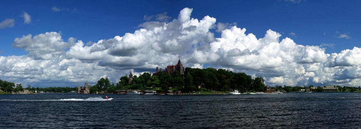
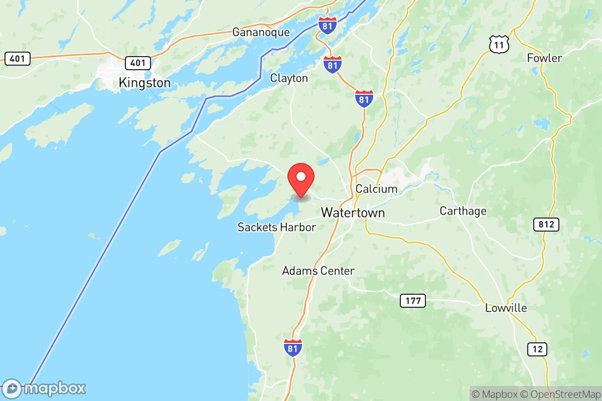
Jefferson County’s geography is its primary strategic asset. The county sits on a peninsula formed by Lake Ontario to the west and the St. Lawrence River to the north, with the Thousand Islands region offering a complex network of waterways and islands that can serve as both a resource and a natural barrier. The city of Watertown, the county seat, is roughly 70 miles north of Syracuse and 80 miles west of the Adirondack Park boundary, placing it well outside the immediate fallout zones of any major urban target. The lake itself moderates the climate, extending the growing season in the fertile Black River Valley, which runs through the heart of the county. This valley, with its deep, well-drained soils, is one of the most productive agricultural zones in New York State, supporting dairy operations, grain farms, and vegetable production. The presence of the Tug Hill Plateau to the east provides a significant topographic buffer, with its dense forests and heavy snowfall acting as a natural filter and a barrier to overland movement from the more populated eastern seaboard. The St. Lawrence River, a major international waterway, offers a potential route for trade and transport that bypasses the congested interstate system, though it also introduces a border security consideration.
Risks, exposures, and proximity to fallout-relevant landmarks
While Jefferson County is distant from the highest-risk targets, it is not without its own exposures. The most significant is Fort Drum, a major U.S. Army installation home to the 10th Mountain Division. This base is a clear strategic asset in a conventional conflict, but in a nuclear exchange scenario, it becomes a high-value target. Watertown, just south of the base, would face direct consequences from any strike on Fort Drum. The county also lies within the broader sphere of the Canadian border, and the international bridges at the Thousand Islands (the Thousand Islands Bridge) and Ogdensburg are potential chokepoints for both military and civilian traffic. The FitzPatrick Nuclear Power Plant, located in Scriba, Oswego County, is roughly 30 miles southwest of the Jefferson County line. While not within the county, a major incident at this plant could affect the southern portion of the county, particularly the areas along the Lake Ontario shoreline. The county’s reliance on a single major employer (Fort Drum) and a single major hospital (Samaritan Medical Center in Watertown) creates a concentration of risk; a disruption to either would have outsized consequences for the entire region. The primary natural risk is lake-effect snow, which can be extreme on the Tug Hill Plateau, but this is a manageable hazard for a prepared population.
Practical resilience for a relocator: food, water, energy, and defensibility
For the individual or family focused on practical self-sufficiency, Jefferson County scores well on several key metrics. Food security is a standout advantage. The county is a major agricultural producer, with hundreds of dairy farms, crop farms, and orchards. The Watertown Farmers Market and numerous roadside stands provide direct access to local produce, meat, and dairy. The Black River and its tributaries offer excellent fishing, and Lake Ontario provides a substantial fishery. Water availability is excellent. The county sits atop a significant aquifer, and the Black River, the St. Lawrence River, and Lake Ontario provide abundant surface water. Most rural properties have access to well water, and the county’s water infrastructure is generally well-maintained. Energy resilience is a mixed picture. The grid is reliable by rural standards, but the region is prone to winter storms that can cause outages. Solar potential is moderate due to cloud cover and snow, but a well-sited system with battery storage is viable. Wood heating is extremely common and practical, given the proximity to the Tug Hill and Adirondack forests. Propane is widely used for heating and cooking. Defensibility is a function of the county’s low population density and dispersed settlement pattern. The rural townships—like Lyme, Brownville, and Orleans—offer properties with significant acreage and natural cover. The county’s road network, while not extensive, provides multiple routes of egress and ingress, though the major highways (I-81 and NY-3) are vulnerable to chokepoints at bridges and passes. The presence of a large, well-trained military population at Fort Drum also means a significant number of residents have emergency medical, engineering, and security skills.
The overall strategic picture for Jefferson County is one of a resilient, resource-rich region with a clear vulnerability tied to its primary economic engine. For the relocator who is not directly tied to Fort Drum, the county offers a strong balance of natural advantages, agricultural self-sufficiency, and distance from the most likely high-value targets. The key is to choose a location carefully—avoiding the immediate vicinity of Watertown and Fort Drum, and instead focusing on the rural townships along the lake or the Black River Valley. The climate is a factor: long, snowy winters require preparation and a tolerance for cold. But for those willing to adapt, Jefferson County provides a defensible, productive, and strategically sound base for long-term resilience. The county’s greatest strength is its ability to feed itself, a fundamental advantage that few other regions in the Northeast can match.

* Values derived from national, state, county, city and local statistics and may differ in a specific area. Last updated: 2026-07-14T06:24:49.000Z
Narrative content on this page is AI-generated and may contain mistakes. Verify any details that matter before acting on them.
ReloMaps may earn a commission from affiliate links at no extra cost to you.

