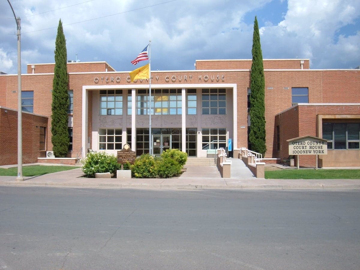
Photo: Wikipedia
Strategic Assessment of Otero County
Workable tactical position. Some exposure to population density or targets, but generally defensible in a crisis.
What does the Strategic Assessment tell us?
Our Strategic Assessment grades tactical survivability of an area. Major population centers, military targets, fallout zones, natural disasters, and border exposure all drive risk — lower exposure means a more defensible position in a crisis.
This is heavily inspired by Joel Skousen's Strategic Relocation book. Highly recommended you checkout the book ($)What does this tell us?
Our Strategic Assessment grades tactical survivability of an area. Major population centers, military targets, fallout zones, natural disasters, and border exposure all drive risk — lower exposure means a more defensible position in a crisis.
This is heavily inspired by Joel Skousen's Strategic Relocation book. Highly recommended you checkout the book ($)Strategic Pillars

Key Distances
Strategic Assessment Analysis
Otero County, New Mexico, offers a unique strategic position for relocators prioritizing resilience and self-sufficiency, balancing remote high-desert geography with surprising logistical advantages. Located along the eastern slope of the Sacramento Mountains, the county provides natural barriers and a climate that supports year-round access, while its proximity to major military installations like Holloman Air Force Base and White Sands Missile Range introduces both economic stability and distinct risk considerations. For a conservative-leaning audience evaluating disaster readiness, Otero County presents a mixed picture: strong natural defenses and resource potential, but with specific exposures tied to federal infrastructure and regional fallout corridors.
Geographic position and natural advantages for self-sufficiency
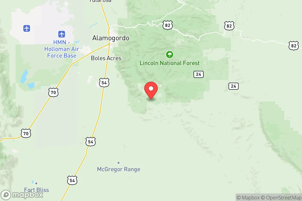
Otero County spans over 6,600 square miles, making it one of New Mexico's largest counties by area, with a population density of roughly 7 people per square mile. The county seat, Alamogordo, sits at the base of the Sacramento Mountains, providing access to high-elevation terrain that offers natural defensibility and cooler temperatures than the surrounding Chihuahuan Desert. The Lincoln National Forest and the Mescalero Apache Reservation occupy the western and northern portions of the county, creating vast tracts of undeveloped land ideal for remote homesteading or small-holding operations. The county's position along U.S. Highway 54 and U.S. Highway 70 gives relocators direct routes to El Paso, Texas (about 90 miles south) and Las Cruces (about 70 miles west), while remaining far enough from major metropolitan centers to avoid the immediate fallout zones of a large-scale disruption. The Tularosa Basin, which runs through the county, offers groundwater resources that, while limited, are more reliable than surface water sources in the region. For a relocator focused on long-term sustainability, the combination of low population density, mountainous terrain, and access to federal lands for hunting and foraging creates a strong baseline for self-sufficient living.
Risks, exposures, and proximity to fallout-relevant landmarks
The most significant strategic risk in Otero County is its direct adjacency to White Sands Missile Range, a 3,200-square-mile military testing facility that handles missile launches, explosive ordnance disposal, and classified research. Holloman Air Force Base, located just west of Alamogordo, is home to the 49th Wing and operates the High-Speed Test Track, making it a high-value target in any conflict scenario. The presence of these installations means that Otero County sits within a potential primary or secondary fallout zone, depending on the nature of a disruption. Additionally, the county lies roughly 150 miles north of the Fort Bliss complex and the El Paso refinery corridor, which includes the Western Refining facility and multiple fuel storage terminals. While this distance provides some buffer, prevailing winds from the south could carry airborne contaminants into the Tularosa Basin. Natural risks include periodic drought, flash flooding in arroyos during monsoon season, and the potential for wildfire in the Sacramento Mountains, particularly in dry years. The county's reliance on the Ogallala Aquifer and local groundwater means that contamination from a regional event could compromise water supplies for years. Relocators should also note that the Mescalero Apache Reservation has its own governance and land-use regulations, which can affect access to certain areas and resources.
Practical resilience for a relocator: food, water, energy, and defensibility
Otero County offers moderate to strong practical resilience for a prepared relocator, with several key advantages and notable gaps. Water availability is the primary constraint: the county averages less than 12 inches of annual precipitation, and most surface water comes from the Rio Tularosa and its tributaries, which are seasonal. Groundwater wells are common in rural areas, but depths vary significantly, with some wells exceeding 500 feet. Rainwater catchment is feasible but requires substantial storage capacity to bridge dry periods. Food production is viable in the lower elevations, with a growing season of roughly 180 days, suitable for beans, squash, corn, and hardy greens. The county has a small but active agricultural sector, with cattle ranching and pecan orchards in the southern portions near the Texas border. For energy, solar is the most practical option, with the region averaging over 280 sunny days per year. Wind energy is less reliable due to the mountain shadow effect, but small-scale turbines can supplement solar in exposed ridgeline locations. Defensibility is strong in the mountainous western half of the county, where narrow canyon roads and limited access points create natural chokepoints. The eastern plains, by contrast, are open and difficult to secure. Alamogordo itself is a small city of roughly 31,000 people, which provides a local supply base for hardware, medical services, and fuel, but would become a liability in a prolonged grid-down scenario. For a relocator seeking a balance between remoteness and access to infrastructure, the rural areas west of Alamogordo, particularly around Cloudcroft and High Rolls, offer the best combination of defensible terrain, water access, and community scale.
Overall, Otero County presents a viable but nuanced strategic option for the disaster-conscious relocator. Its low population density, mountainous terrain, and distance from major urban centers provide a strong foundation for self-sufficiency, while the presence of White Sands Missile Range and Holloman Air Force Base introduces a level of risk that cannot be ignored. The county's water limitations and reliance on groundwater mean that any relocation plan must prioritize independent water storage and purification systems. For a conservative-leaning individual or family willing to invest in off-grid infrastructure and maintain situational awareness of regional military activity, Otero County offers a defensible, resource-rich environment that balances isolation with practical access to supplies and medical care. The key is to choose a location west of Alamogordo, in the mountain foothills, where the terrain provides natural cover and the community remains small enough to avoid the cascading failures that would overwhelm larger towns in a crisis.

* Values derived from national, state, county, city and local statistics and may differ in a specific area. Last updated: 2026-07-17T17:45:22.000Z
Narrative content on this page is AI-generated and may contain mistakes. Verify any details that matter before acting on them.
ReloMaps may earn a commission from affiliate links at no extra cost to you.

