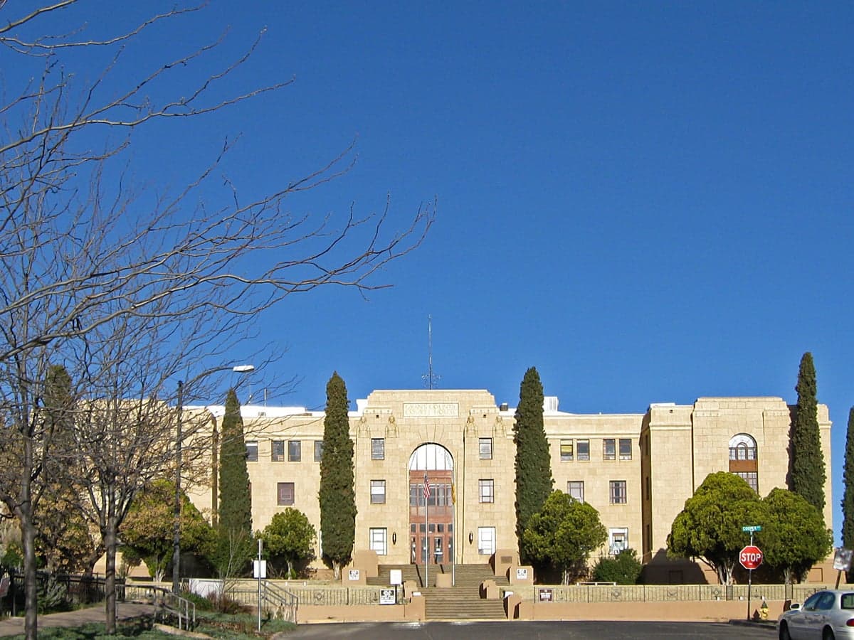
Photo: Wikipedia
Strategic Assessment of Grant County
Strong survivability profile. Good buffer from population centers, with manageable environmental and tactical risks.
What does the Strategic Assessment tell us?
Our Strategic Assessment grades tactical survivability of an area. Major population centers, military targets, fallout zones, natural disasters, and border exposure all drive risk — lower exposure means a more defensible position in a crisis.
This is heavily inspired by Joel Skousen's Strategic Relocation book. Highly recommended you checkout the book ($)What does this tell us?
Our Strategic Assessment grades tactical survivability of an area. Major population centers, military targets, fallout zones, natural disasters, and border exposure all drive risk — lower exposure means a more defensible position in a crisis.
This is heavily inspired by Joel Skousen's Strategic Relocation book. Highly recommended you checkout the book ($)Strategic Pillars

Key Distances
Strategic Assessment Analysis
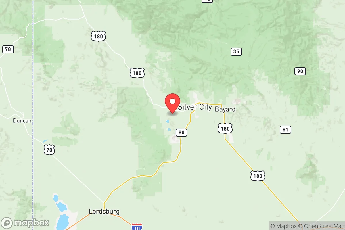
Grant County, New Mexico, offers a compelling strategic profile for relocators prioritizing resilience and self-sufficiency, combining high-altitude geography with significant distance from major metropolitan targets. Anchored by the towns of Silver City, Bayard, and Santa Clara, the county sits roughly 150 miles from the El Paso-Juárez metroplex and over 200 miles from Albuquerque, placing it well outside the primary fallout and secondary threat zones of those population centers. The area’s rugged terrain, sparse population density of roughly 25 people per square mile, and access to the Gila National Forest create a natural buffer that appeals to those thinking seriously about disaster preparedness and long-term sustainability.
Geographic position and natural advantages for long-term security
Grant County’s location in the southwestern corner of New Mexico provides several hard-to-replicate geographic advantages. The county sits at an average elevation of 5,900 feet, with Silver City itself perched at 5,900 feet on the edge of the Pinos Altos Range, offering a cooler, drier climate than the lowland deserts to the south and west. This elevation reduces wildfire risk compared to lower-elevation chaparral zones and provides natural defensibility—approaches into the county are limited by mountain passes and canyon roads, particularly along Highways 180 and 152. The Gila National Forest, encompassing over 3.3 million acres, forms the county’s northern and western flank, offering a vast, roadless backcountry that could serve as a retreat area or resource zone. The Continental Divide runs through the county’s western edge, meaning water flows away from the region rather than toward it, which reduces flood risk from upstream failures. For a relocator, the combination of elevation, limited access points, and adjacency to federal wilderness creates a strong baseline for perimeter security and resource isolation.
Risks, exposures, and proximity to fallout-relevant landmarks
While Grant County avoids the worst of urban-target risks, it is not without exposure. The most significant man-made risk comes from the proximity to the WIPP (Waste Isolation Pilot Plant) near Carlsbad, roughly 200 miles east—a nuclear waste repository that, while not a weapon target, represents a potential contamination hazard in a major seismic or security event. Closer to home, the Freeport-McMoRan Chino Mine and smelter operations near Bayard and Hurley are industrial landmarks that could become secondary targets or generate localized hazardous material releases. The county lies within the Basin and Range Province, meaning seismic risk is low but not zero; the last notable earthquake was a 4.2 magnitude event in 2020 near Deming, 40 miles south. Wildfire is the most probable natural threat, particularly in the Gila National Forest, where the 2012 Whitewater-Baldy Fire burned nearly 300,000 acres. However, Silver City and the major towns sit in valley bottoms with some natural firebreak from surrounding ridges. The county’s distance from interstates—I-10 runs 50 miles south, I-25 runs 100 miles east—means that evacuation or supply routes could be compromised by regional events, but also that the area is unlikely to see refugee flows from coastal or interstate corridor failures. The nearest military installation of note is Fort Bliss near El Paso, 150 miles south, which could become a staging area in a national emergency but is far enough to avoid direct spillover effects.
Practical resilience for a relocator: food, water, energy, and defensibility
Grant County’s practical resilience metrics are mixed but generally favorable for a prepared relocator. Water is the most critical variable: the county relies on the Gila River and its tributaries, plus groundwater from the Mimbres Basin aquifer. Silver City’s municipal water comes from the Gila River via the Silver City-Grant County Water System, which has senior water rights—a significant legal advantage in drought years. However, the region is in a long-term aridification trend; average annual precipitation is only 14 inches, and the Gila River flow has declined roughly 20% since the 1990s. For a relocator, rainwater catchment and well drilling are viable but require upfront investment—well depths in the Mimbres Basin range from 100 to 400 feet. Food production is limited by short growing seasons (last frost mid-May, first frost early October) and alkaline soils, but the Gila Valley and Mimbres Valley have a history of small-scale agriculture, and the Farmers’ Market in Silver City operates year-round, indicating local food infrastructure. Energy resilience is a bright spot: the county has high solar insolation (over 6.5 peak sun hours per day), and off-grid solar is straightforward. The local electric cooperative, Continental Divide Electric Cooperative, serves most of the county and has a relatively modern grid, but rural areas are prone to weather-related outages. Natural gas is available in Silver City and Bayard, but propane is the standard for rural homes. Defensibility is strong due to the terrain: the county’s road network funnels through a few key choke points—the intersection of Highways 180 and 152 near Santa Clara, and the Highway 90 corridor south of Silver City—which could be monitored or controlled with minimal manpower. The population is small enough (roughly 28,000 countywide) that community cohesion is plausible, and there is an existing culture of self-reliance, with many residents maintaining gardens, livestock, and stored supplies. The Grant County Sheriff’s Office and local police departments are professional but thinly stretched, so personal security preparation is advisable.
The overall strategic picture for Grant County is one of strong geographic insulation with manageable, localized risks. It is not a fallout-free zone—the Chino Mine and WIPP are real considerations—but it avoids the catastrophic exposure of areas near major cities, military bases, or refinery corridors. For a relocator with a conservative-leaning mindset who values self-sufficiency, community scale, and natural defensibility, Grant County offers a realistic balance of isolation and accessibility. The key trade-offs are water scarcity and wildfire risk, both of which can be mitigated with planning and investment. The area is not a prepper fantasyland; it is a working rural county with real infrastructure, real limitations, and a real community that has been quietly preparing for hard times for generations. That, in itself, is the strongest recommendation.

* Values derived from national, state, county, city and local statistics and may differ in a specific area. Last updated: 2026-06-23T18:43:46.000Z
Narrative content on this page is AI-generated and may contain mistakes. Verify any details that matter before acting on them.
ReloMaps may earn a commission from affiliate links at no extra cost to you.

