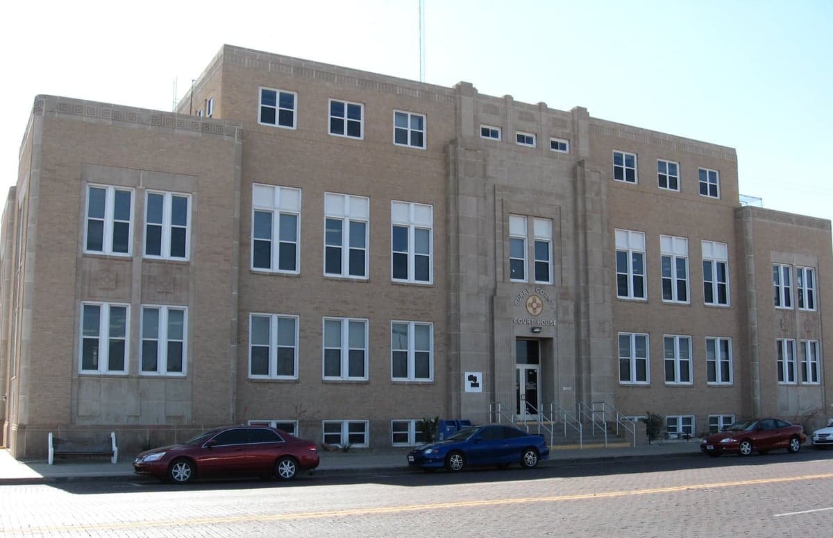
Photo: Wikipedia
Strategic Assessment of Curry County
Strong survivability profile. Good buffer from population centers, with manageable environmental and tactical risks.
What does the Strategic Assessment tell us?
Our Strategic Assessment grades tactical survivability of an area. Major population centers, military targets, fallout zones, natural disasters, and border exposure all drive risk — lower exposure means a more defensible position in a crisis.
This is heavily inspired by Joel Skousen's Strategic Relocation book. Highly recommended you checkout the book ($)What does this tell us?
Our Strategic Assessment grades tactical survivability of an area. Major population centers, military targets, fallout zones, natural disasters, and border exposure all drive risk — lower exposure means a more defensible position in a crisis.
This is heavily inspired by Joel Skousen's Strategic Relocation book. Highly recommended you checkout the book ($)Strategic Pillars

Key Distances
Strategic Assessment Analysis
Curry County, New Mexico, anchored by the city of Clovis and its twin city Portales just to the south, offers a strategic relocation option for those prioritizing resilience and self-sufficiency in the High Plains. Its position along the Texas-New Mexico border places it at a meaningful distance from major metropolitan fallout zones while still providing access to regional infrastructure, making it a viable base for individuals and families seeking a balance between isolation and connectivity. The county's agricultural economy, low population density, and arid climate create a distinct set of advantages and vulnerabilities that merit a close look for disaster-preparedness-minded relocators.
Geographic position and natural advantages for long-term stability
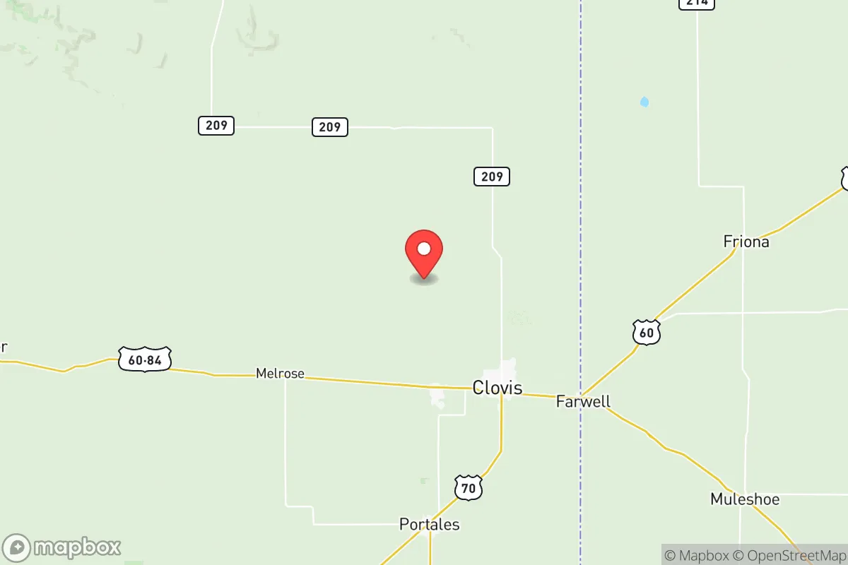
Curry County sits on the Llano Estacado, the vast southern High Plains, at an elevation of roughly 4,300 feet. This elevation provides a moderate climate with four distinct seasons, avoiding the extreme summer heat of lower-elevation Texas cities while still offering mild winters. The county's location roughly 100 miles west of the Texas Panhandle's Amarillo and about 200 miles east of Albuquerque places it outside the immediate blast and fallout zones of those larger population centers. Clovis, the county seat and largest city with roughly 38,000 residents, serves as the economic hub, while smaller communities like Texico, Melrose, and Grady offer even lower-density living options. The area's flat, open terrain provides excellent long-distance visibility, a practical advantage for situational awareness, though it offers limited natural cover. The Ogallala Aquifer lies beneath much of the county, providing a critical groundwater resource that is less vulnerable to surface contamination than surface water sources. This groundwater access, combined with the region's agricultural productivity—Curry County is a major producer of dairy, wheat, corn, and sorghum—means that local food production capacity is substantial, a key factor for long-term resilience planning.
Risk exposure and proximity to fallout-relevant landmarks
While Curry County avoids the direct risks of major urban centers, it is not without exposure to man-made and natural hazards. The most significant man-made risk comes from Cannon Air Force Base, located just southwest of Clovis. Cannon is home to the 27th Special Operations Wing, including CV-22 Ospreys, MC-130J Commando IIs, and MQ-9 Reapers. As a strategic military installation, it could be a target in a conflict scenario, though its remote location and the nature of its special operations mission make it a lower-priority target than larger bomber or missile bases. The base's presence also brings economic stability and a population of military families, which can be a double-edged sword in a crisis—more people, but also more organized emergency response infrastructure. Natural risks include severe thunderstorms, hail, and the occasional tornado, typical of the High Plains. The county lies outside major flood zones, though flash flooding can occur during intense storms. Wildfire risk is moderate, with the flat, dry grasslands capable of carrying fast-moving fires, though the lack of dense forest cover reduces catastrophic wildfire potential. The nearest major nuclear infrastructure is the Pantex Plant near Amarillo, roughly 100 miles northeast, which assembles and disassembles nuclear weapons. While this distance provides a buffer, Pantex's presence means that Amarillo and its surroundings are a potential target, and prevailing winds from the southwest would carry fallout away from Curry County in most scenarios. The county's distance from coastal ports, refineries, and major interstate corridors reduces its exposure to cascading infrastructure failures that could affect more connected regions.
Practical resilience for relocators: food, water, energy, and defensibility
For a relocator focused on self-sufficiency, Curry County offers several practical advantages. Food security is strong: the county's agricultural base means fresh dairy, meat, and produce are locally available, and the growing season from April to October allows for home gardening with proper water management. The presence of large-scale dairy operations and feedlots means a reliable supply of animal protein, though relocators should plan for their own small-scale livestock if complete independence is the goal. Water access is the critical variable. The Ogallala Aquifer provides groundwater, but it is a finite resource that has been declining for decades due to agricultural pumping. New domestic wells are regulated by the New Mexico Office of the State Engineer, and existing wells on rural properties can provide a reliable water source. Rainwater harvesting is feasible given the county's 16-18 inches of annual precipitation, though storage capacity must be substantial to bridge dry periods. Energy resilience is achievable. The region averages over 260 sunny days per year, making solar power a viable primary or backup energy source. Wind energy is also abundant, with the area's consistent winds supporting both utility-scale wind farms and smaller residential turbines. Natural gas is available in Clovis and some surrounding areas, providing a backup heating and cooking option. Defensibility is mixed. The open terrain offers excellent lines of sight but limited cover, making a rural property with good perimeter visibility and a defensible structure important. The low population density—roughly 12 people per square mile—means fewer neighbors to contend with in a crisis, but also fewer nearby resources and longer emergency response times. The county's road network, anchored by U.S. Highways 60, 70, and 84, provides multiple egress routes, though these could become congested during a regional evacuation.
The overall strategic picture for Curry County is one of moderate resilience with clear trade-offs. Its distance from major urban centers and strategic targets, combined with strong local food production and groundwater access, makes it a defensible choice for those willing to invest in water management and energy infrastructure. The presence of Cannon Air Force Base introduces a targeted risk but also provides economic stability and emergency response capabilities that benefit the broader community. For a relocator prioritizing a balance between isolation and access, with a focus on practical self-sufficiency, Curry County represents a solid option in the High Plains—provided they come prepared for the realities of arid-land living and the long-term challenges of aquifer sustainability.

* Values derived from national, state, county, city and local statistics and may differ in a specific area. Last updated: 2026-07-10T06:58:06.000Z
Narrative content on this page is AI-generated and may contain mistakes. Verify any details that matter before acting on them.
ReloMaps may earn a commission from affiliate links at no extra cost to you.

