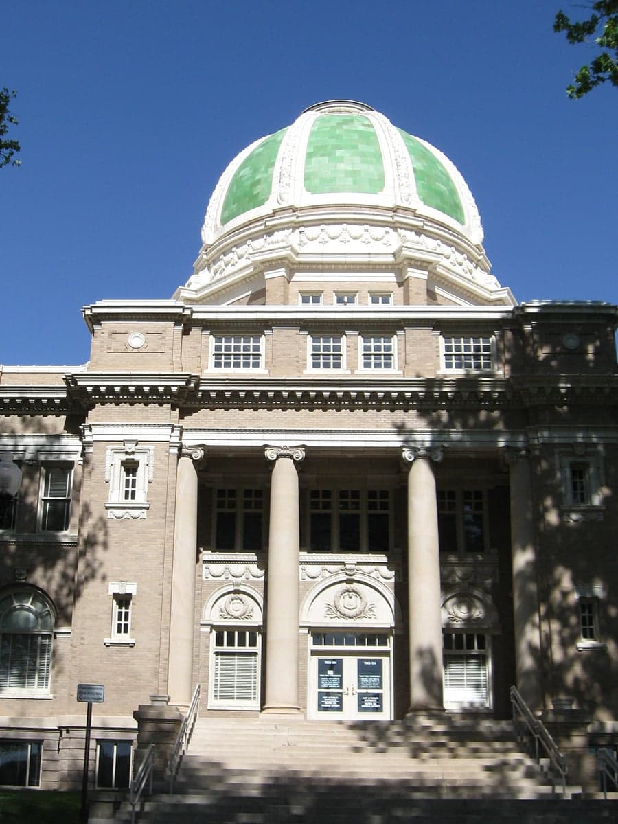
Photo: Wikipedia
Strategic Assessment of Chaves County
Strong survivability profile. Good buffer from population centers, with manageable environmental and tactical risks.
What does the Strategic Assessment tell us?
Our Strategic Assessment grades tactical survivability of an area. Major population centers, military targets, fallout zones, natural disasters, and border exposure all drive risk — lower exposure means a more defensible position in a crisis.
This is heavily inspired by Joel Skousen's Strategic Relocation book. Highly recommended you checkout the book ($)What does this tell us?
Our Strategic Assessment grades tactical survivability of an area. Major population centers, military targets, fallout zones, natural disasters, and border exposure all drive risk — lower exposure means a more defensible position in a crisis.
This is heavily inspired by Joel Skousen's Strategic Relocation book. Highly recommended you checkout the book ($)Strategic Pillars

Key Distances
Strategic Assessment Analysis
Chaves County, anchored by the city of Roswell, offers a strategic relocation option for those prioritizing resilience and self-sufficiency in the arid Southwest. Its position in southeastern New Mexico places it well outside the immediate blast and fallout zones of major metropolitan targets like Albuquerque, El Paso, or the Dallas-Fort Worth metroplex, while still providing access to regional infrastructure. The county's economy is rooted in agriculture, oil and gas, and aerospace research, giving it a diversified base that is less susceptible to the cascading failures of a single industry. For a relocator assessing long-term stability, Chaves County presents a balance of isolation and connectivity that warrants a serious look.
Geographic position and natural advantages for long-term stability
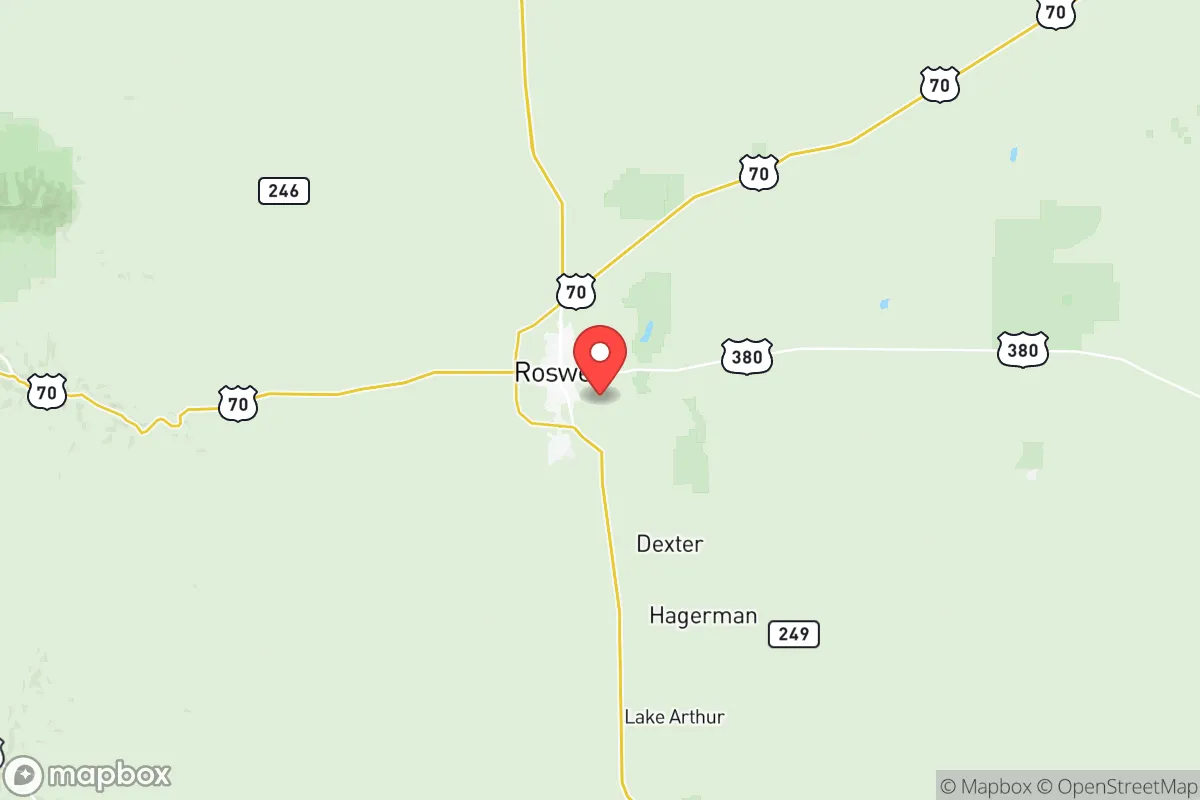
Chaves County sits on the High Plains at an elevation of roughly 3,500 feet, a position that offers a moderate climate with four distinct seasons and fewer extreme weather events than other parts of the country. The area is far from active seismic zones, hurricane-prone coastlines, and major floodplains, reducing exposure to the most common natural disasters. The Pecos River runs through the western part of the county, providing a surface water source that is rare in the region, though groundwater from the Ogallala Aquifer remains the primary supply for agriculture and domestic use. The surrounding landscape is open ranchland and desert, offering long sightlines and natural defensibility — a factor that appeals to those thinking about perimeter security or situational awareness. Roswell's location along U.S. Highways 70, 285, and 380 also provides multiple egress routes toward the Texas Panhandle, central New Mexico, and the Permian Basin, which is a practical advantage if regional infrastructure becomes compromised.
Risks, exposures, and proximity to fallout-relevant landmarks
While Chaves County is far from the highest-risk targets, it is not without exposure. The most significant man-made risk comes from the proximity to the Waste Isolation Pilot Plant (WIPP) near Carlsbad, roughly 75 miles south, which handles transuranic nuclear waste. A major incident at WIPP could affect downwind areas, though prevailing winds typically carry from the southwest, somewhat mitigating direct fallout risk to Roswell. Additionally, the county sits near the Permian Basin oil fields to the east and southeast, with active drilling and refining infrastructure that could become secondary targets or sources of industrial accidents. Cannon Air Force Base in Clovis, about 100 miles northeast, and Holloman Air Force Base near Alamogordo, roughly 100 miles west, are military installations that could be targeted in a conflict, though their distance reduces direct blast risk. The county's own infrastructure — including the Roswell International Air Center, a former Air Force base now used for aircraft storage and maintenance — could become a secondary target by association. Drought and wildfire risk are the primary natural hazards, with the county experiencing periodic severe dry spells that stress water supplies and agriculture.
Practical resilience for a relocator: food, water, energy, and defensibility
For someone serious about self-sufficiency, Chaves County offers several structural advantages. The local agricultural sector produces beef, dairy, hay, and pecans, meaning fresh food sources are available within the county and not dependent on long supply chains. The Roswell Farmers Market and local growers provide direct-to-consumer options for those wanting to build local food networks. Water is the critical vulnerability: the county relies heavily on the Ogallala Aquifer, which is being depleted faster than it recharges, and surface water from the Pecos River is allocated through a complex system of rights. A relocator would need to secure a property with a dedicated well or senior water rights to ensure long-term access. Energy resilience is moderate — the county is served by Xcel Energy and has access to natural gas from the Permian Basin, but grid failures during winter storms have occurred, making solar with battery backup a wise investment. The open terrain and low population density (roughly 65,000 people in the entire county) make it easier to secure a rural property and maintain privacy, though the lack of natural cover means defensibility relies more on distance and visibility than on terrain. The local culture is heavily oriented toward hunting, ranching, and outdoor skills, which means neighbors are more likely to be capable and self-reliant than in suburban or urban settings.
Overall, Chaves County presents a credible option for the strategic relocator who values distance from primary targets, a working agricultural base, and a community with a frontier mindset. The trade-offs are real: water scarcity, drought cycles, and the distant but real risk from WIPP and regional military infrastructure must be factored into any plan. For a family or individual willing to invest in water security, renewable energy, and local food production, the county offers a defensible, low-density environment with enough economic activity to avoid total isolation. It is not a bunker location, but it is a place where a prepared person can build a genuinely resilient life without being cut off from the rest of the world.

* Values derived from national, state, county, city and local statistics and may differ in a specific area. Last updated: 2026-07-19T20:59:13.000Z
Narrative content on this page is AI-generated and may contain mistakes. Verify any details that matter before acting on them.
ReloMaps may earn a commission from affiliate links at no extra cost to you.

