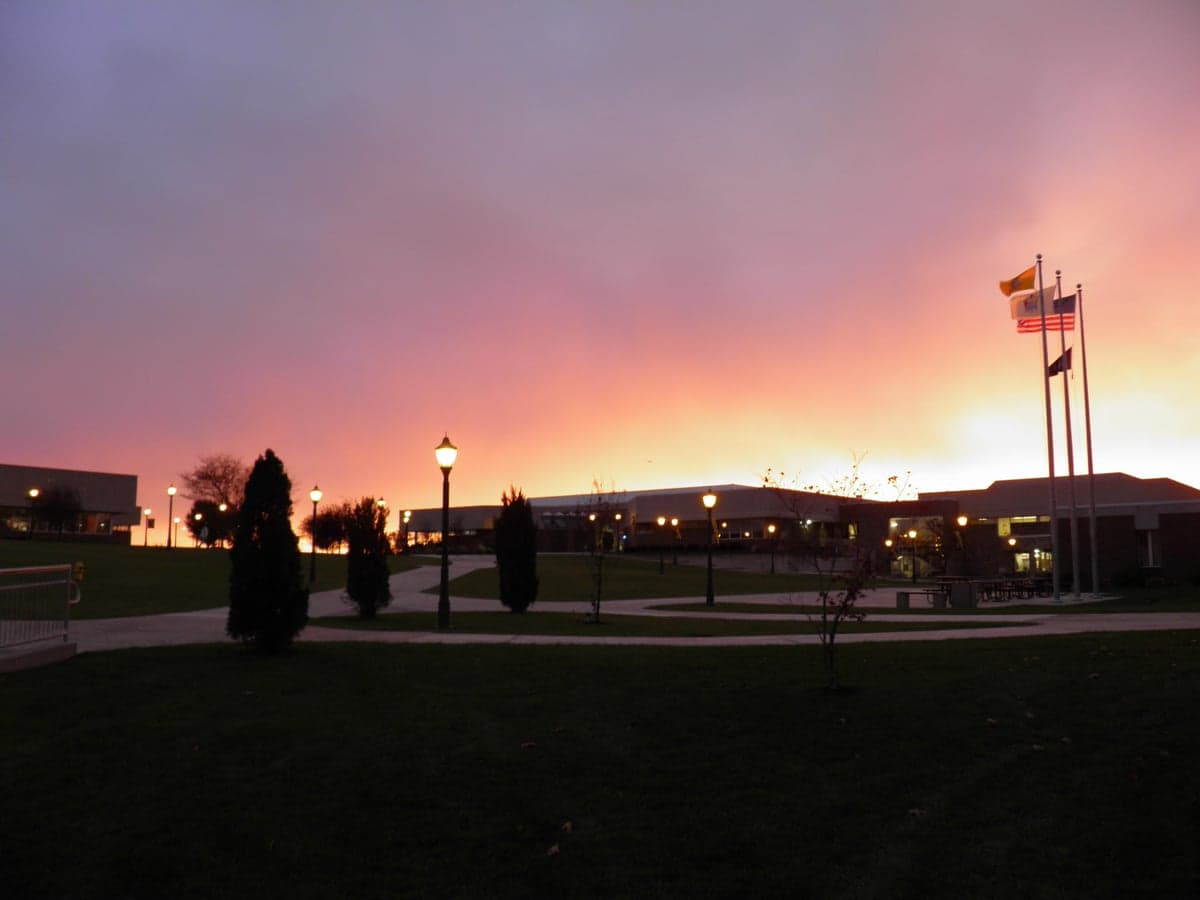
Photo: Wikipedia
Strategic Assessment of Gloucester County
Multiple tactical vulnerabilities. Population density, target proximity, or disaster risk are likely compounding. A retreat property and exit planning is required.
What does the Strategic Assessment tell us?
Our Strategic Assessment grades tactical survivability of an area. Major population centers, military targets, fallout zones, natural disasters, and border exposure all drive risk — lower exposure means a more defensible position in a crisis.
This is heavily inspired by Joel Skousen's Strategic Relocation book. Highly recommended you checkout the book ($)What does this tell us?
Our Strategic Assessment grades tactical survivability of an area. Major population centers, military targets, fallout zones, natural disasters, and border exposure all drive risk — lower exposure means a more defensible position in a crisis.
This is heavily inspired by Joel Skousen's Strategic Relocation book. Highly recommended you checkout the book ($)Strategic Pillars

Key Distances
Strategic Assessment Analysis
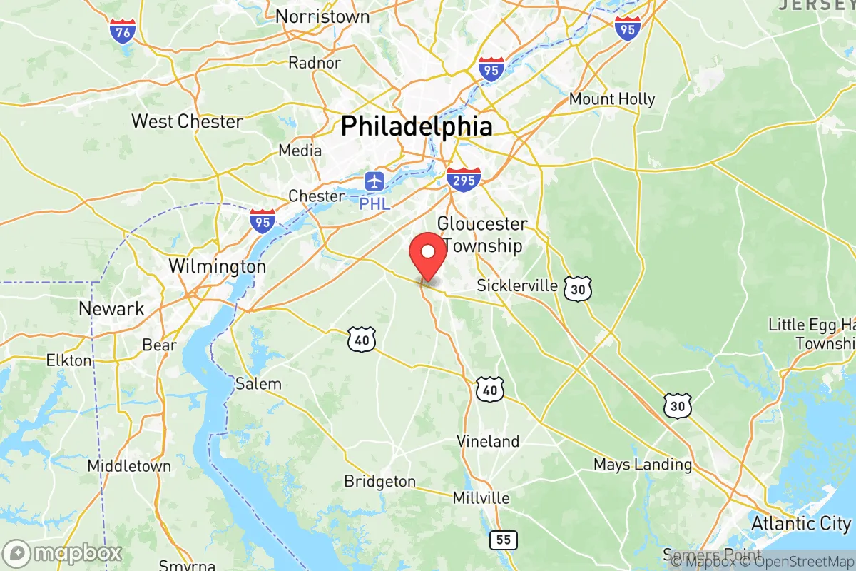
Gloucester County, New Jersey, offers a strategic balance of rural accessibility and suburban infrastructure that appeals to relocation-minded individuals and families with a conservative, self-reliant outlook. Located in the southwestern corner of the state, the county sits roughly 15 miles from Philadelphia and 30 miles from the Atlantic coast, placing it within a day’s drive of major East Coast population centers while retaining a distinctly lower-density character. Its resilience profile is shaped by a mix of geographic advantages—ample farmland, groundwater resources, and a temperate climate—alongside real exposures tied to its proximity to critical infrastructure and urban fallout zones. For a relocator weighing disaster readiness and long-term sustainability, Gloucester County presents a credible option, but one that demands clear-eyed awareness of both its strengths and its vulnerabilities.
Geographic position and natural advantages for long-term stability
Gloucester County’s location along the Delaware River provides a natural buffer against the densest urban corridors while still offering access to regional supply chains. The county’s terrain is predominantly flat to gently rolling, with elevations rarely exceeding 150 feet, which reduces risks from landslides or flash flooding in most areas—though low-lying zones near the river and its tributaries, such as Mantua Creek and Raccoon Creek, do experience periodic flooding. The region sits within the Piedmont physiographic province, underlain by relatively stable bedrock that minimizes seismic risk; earthquakes are virtually nonexistent here. The climate is humid subtropical, with average annual rainfall of about 45 inches, supporting robust agriculture without the drought pressures seen in the Southwest. The county’s soil quality in the western and southern townships—particularly around Harrison Township and Woolwich Township—is rated as prime farmland by the USDA, a tangible asset for anyone serious about food self-sufficiency. The Delaware River itself is a major freshwater resource, though its industrial history means surface water requires treatment before consumption. For a relocator, the key natural advantage is the combination of arable land, reliable rainfall, and a low-hazard geology that avoids the worst extremes of hurricanes, wildfires, or earthquakes common in other parts of the country.
Risks, exposures, and proximity to fallout-relevant landmarks
Gloucester County’s strategic position near critical infrastructure introduces several man-made risks that a disaster-conscious relocator must weigh. The county is within 20 miles of the Paulsboro Refinery (a major petroleum processing facility in neighboring Paulsboro, NJ) and the Delaware City Refinery across the river in Delaware—both potential targets for industrial accidents or sabotage. The Port of Philadelphia and the Port of Wilmington, each handling hazardous materials and containerized cargo, lie within 25 miles. More concerning for fallout scenarios: the county sits roughly 40 miles from the Limerick Generating Station (a nuclear power plant in Pennsylvania) and 50 miles from the Salem Nuclear Generating Station in southern New Jersey. While both plants have robust containment structures, a worst-case release could place downwind portions of Gloucester County in a contamination plume, depending on weather patterns. The county also lies within the Philadelphia metropolitan statistical area, meaning a major urban disaster—whether natural, terrorist, or pandemic-related—could trigger large-scale evacuation flows that overwhelm local roads, particularly Interstate 295 and Route 55, the two primary north-south arteries. On the positive side, the county has no active military bases within its borders, though McGuire-Dix-Lakehurst (a joint base about 40 miles northeast) is a potential target. The Delaware River bridges—the Commodore Barry, Walt Whitman, and Benjamin Franklin—are chokepoints that could be compromised in a crisis. For a relocator, the risk profile is moderate: the area is not a primary target, but its proximity to refineries, ports, and nuclear plants means that situational awareness and a pre-planned evacuation route are non-negotiable.
Practical resilience for a relocator: food, water, energy, and defensibility
Gloucester County offers above-average practical resilience for a relocator focused on self-sufficiency, particularly in its rural townships. Food production is a genuine strength: the county is home to dozens of working farms, with Mickleton and Mullica Hill serving as hubs for local agriculture, including row crops, orchards, and livestock. The Gloucester County 4-H Fairgrounds in Mullica Hill reflects a strong agricultural community culture. For water, the Kirkwood-Cohansey aquifer system underlies much of the county, providing relatively shallow groundwater that can be accessed via private wells—a critical advantage over areas dependent on municipal surface water. Many rural properties in South Harrison Township and East Greenwich Township already rely on well water, and drilling a new well is feasible for a determined relocator. Energy resilience is mixed: the county is served by PSE&G and Atlantic City Electric, with grid reliability that is average for the region—outages from storms (nor’easters, occasional hurricanes) occur a few times per year, typically lasting 4–12 hours. Solar potential is moderate, with about 4.5 peak sun hours per day, making rooftop solar a viable supplement but not a standalone solution. Natural gas is widely available in suburban areas, but rural properties may rely on propane or heating oil. Defensibility is a nuanced factor: the county’s flat terrain and dense road network (especially near Deptford Township and Washington Township) make it less defensible than mountainous or remote areas, but the rural townships offer more seclusion. The Gloucester County Sheriff’s Office and local police departments maintain a visible presence, and property crime rates are below the national average—though they have ticked upward since 2020, particularly in more populated areas like Glassboro. For a relocator, the practical takeaway is that Gloucester County supports a semi-self-sufficient lifestyle if you choose a property with well water, a garden plot, and a backup power source, but it is not a bug-out location; it is a working landscape where resilience is built through preparation, not isolation.
The overall strategic picture for Gloucester County is that of a moderately resilient area with genuine agricultural and water advantages, offset by its proximity to high-value industrial and urban targets. It is not a remote sanctuary—it sits within a two-hour drive of 10 million people—but it offers a realistic middle ground for a relocator who wants land, community, and access to regional resources without the extreme risks of a major city or the logistical challenges of a truly remote location. The county’s best assets are its farmland, groundwater, and low natural hazard profile; its biggest liabilities are the refineries, nuclear plants, and evacuation chokepoints nearby. For a family or individual willing to invest in well water, solar backup, and a stocked pantry, Gloucester County provides a defensible base of operations in a region that is otherwise dense and vulnerable. The key is to choose a property in the western or southern townships—away from the river corridor and major highways—and to maintain a realistic evacuation plan that accounts for the bridges and traffic patterns that could become liabilities in a crisis.

* Values derived from national, state, county, city and local statistics and may differ in a specific area. Last updated: 2026-07-13T08:06:18.000Z
Narrative content on this page is AI-generated and may contain mistakes. Verify any details that matter before acting on them.
ReloMaps may earn a commission from affiliate links at no extra cost to you.

