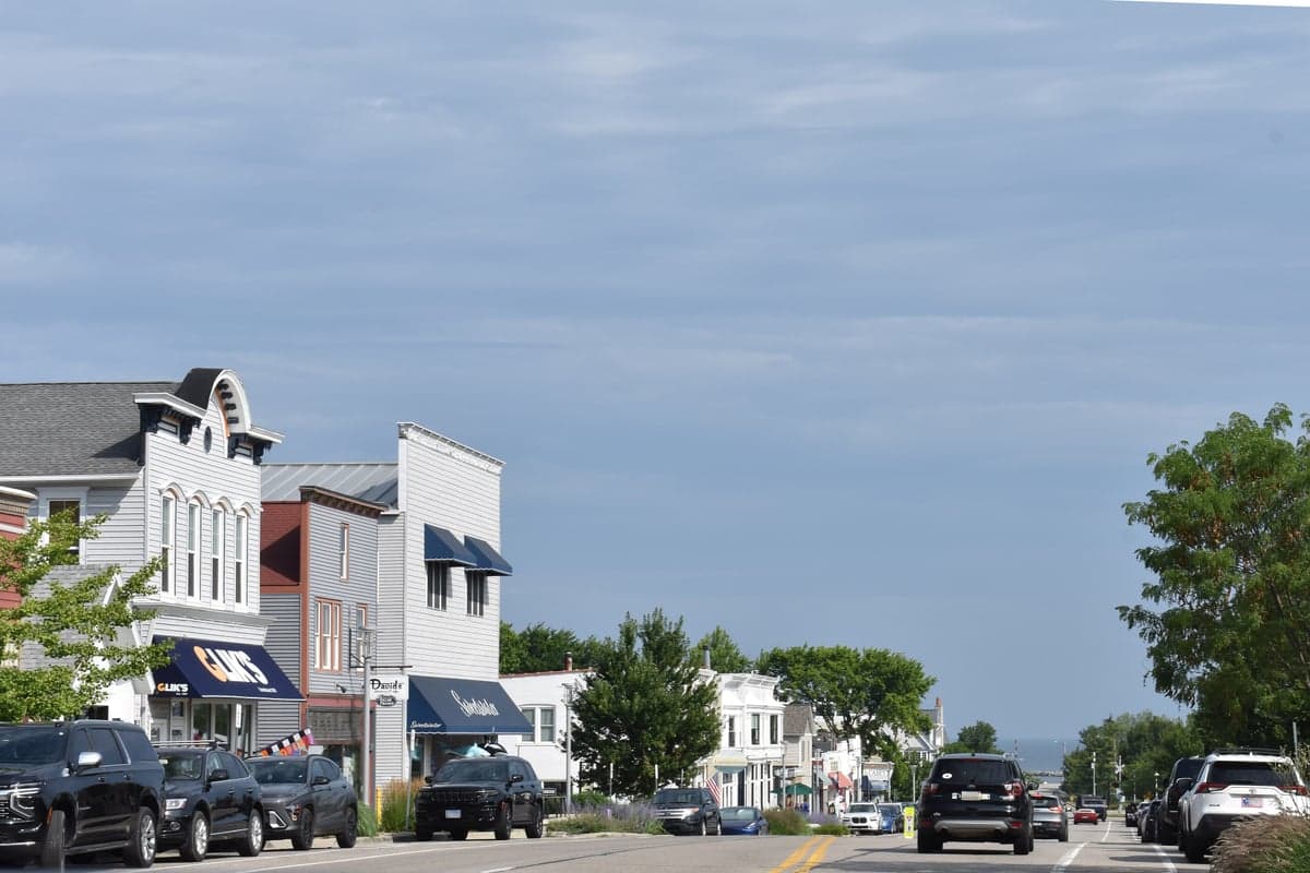
Photo: Wikipedia
Strategic Assessment of New Buffalo, MI
Meaningful friction. Expect exposure to either population pressure, blast zones, or natural disaster risk. Consider buying a retreat property.
What does the Strategic Assessment tell us?
Our Strategic Assessment grades tactical survivability of an area. Major population centers, military targets, fallout zones, natural disasters, and border exposure all drive risk — lower exposure means a more defensible position in a crisis.
This is heavily inspired by Joel Skousen's Strategic Relocation book. Highly recommended you checkout the book ($)What does this tell us?
Our Strategic Assessment grades tactical survivability of an area. Major population centers, military targets, fallout zones, natural disasters, and border exposure all drive risk — lower exposure means a more defensible position in a crisis.
This is heavily inspired by Joel Skousen's Strategic Relocation book. Highly recommended you checkout the book ($)Strategic Pillars

Key Distances
Regional Safe Places
Below is our recommended "safe zones" in Michigan and the surrounding area based on our strategic heuristics. For most people, it's unrealistic to live in a “safe zone” full-time due to work, family or other personal reasons. They tend to be more rural. However, many of these areas are perfect for second homes and retreat properties that double as a vacation home or even a short-term rental.


Important Note: For informational purposes only. This does not mean nothing bad ever happens in the green zones. Please use common sense. This is based on public data and modeled with AI. We tried to take a conservative approach but mistakes happen. We update this regularly as new information becomes available.
Solar Generator Recommendations
Backup power matters more here than in safer locations. We've picked three solar generators across budgets and capacity tiers — start with the budget unit if you only need a few essentials, or step up if you want to run a fridge and HVAC for days at a time.
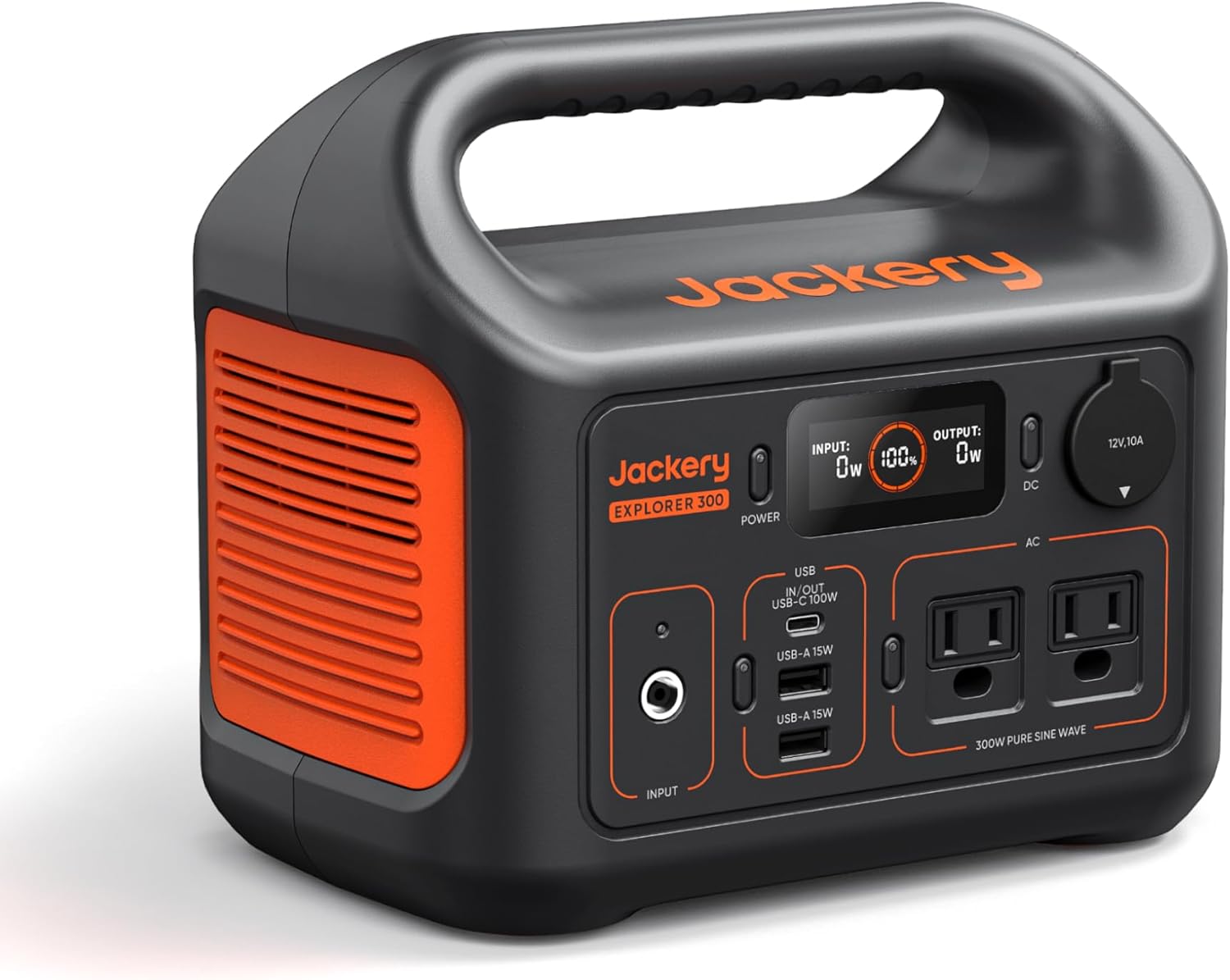
Jackery Portable Power Station Explorer 300
Budget OptionPower on the Go: Weighing only 11 lbs, it's convenient to set up and store with book-sized foldable solar panels

BLUETTI Portable Power Station AC180
Designed for both indoor and outdoor scenarios, AC180 is highly capable as it has a robost capacity and continuous output power.

EF ECOFLOW DELTA Pro Ultra Power Station
Upgraded PickEcoFlow DELTA Pro Ultra is a whole-home energy system designed to grow with your family. Integrated with the Smart Home Panel 2, it scales to meet your evolving energy needs — keeping your home powered, intelligent, and secure through every stage of life.
We earn a commission, at no additional cost to you.
Strategic Assessment Analysis
New Buffalo, Michigan, is a small lakeshore community that punches well above its weight as a strategic relocation option for anyone thinking seriously about resilience and self-sufficiency. Sitting at the extreme southwestern corner of the state, this town of roughly 1,700 year-round residents offers a mix of natural defensive barriers, abundant fresh water, and a location that is simultaneously remote from major metropolitan chaos yet close enough to access critical supplies when needed. For a single individual or family weighing disaster preparedness against quality of life, New Buffalo presents a compelling case—provided you understand both its genuine strengths and its very real vulnerabilities.
Geographic position and natural defensive advantages
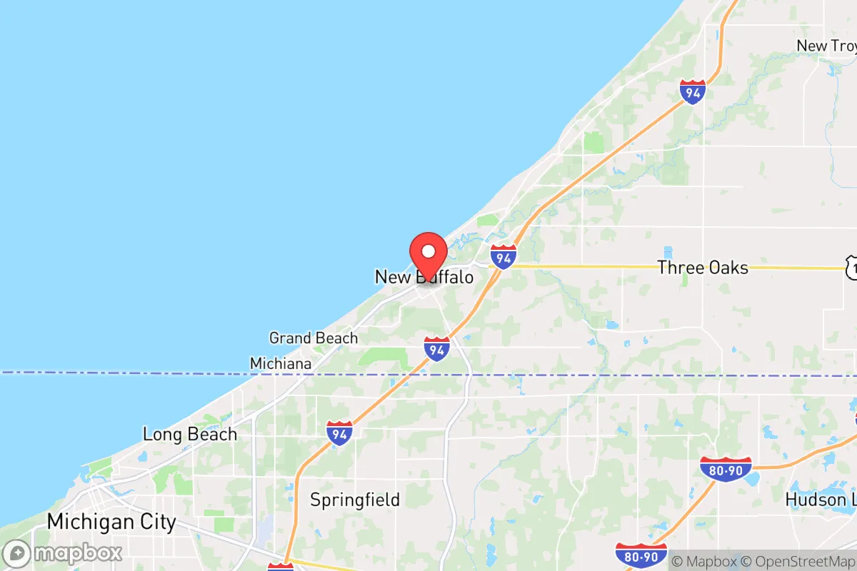
New Buffalo's primary strategic asset is its position on Lake Michigan, part of the largest freshwater system on Earth. The town sits at the mouth of the Galien River, giving residents direct access to both the lake and an inland waterway—a combination that matters enormously if municipal water systems fail. The lake itself acts as a natural barrier to the west, while the surrounding Berrien County farmland provides a buffer of open space that keeps the town from being swallowed by suburban sprawl. To the north, the Warren Dunes State Park and the Galien River County Park create a protected green corridor that remains undeveloped, offering both natural resources and a defensible perimeter.
The town's location roughly 60 miles from Chicago and 90 miles from Detroit places it outside the immediate blast and fallout zones of those major metropolitan targets, yet within a reasonable drive for resupply or evacuation if roads remain passable. The interstate corridor—I-94 runs just a few miles north of town—provides a critical east-west artery, while the South Shore Line commuter rail offers a secondary transportation option that doesn't depend on gasoline. For a relocator, this means you are not isolated, but you are also not sitting in the crosshairs of a primary target. The surrounding countryside is agricultural, which means local food production capacity is genuinely high, and the region's network of small towns—Three Oaks, Union Pier, Sawyer—creates a distributed population that would be easier to organize and support than a dense urban core.
Risk exposure and proximity to fallout-relevant landmarks
No honest strategic assessment can ignore the region's vulnerabilities. The most significant is proximity to Chicago, which at roughly 60 miles away is well within the range of radioactive fallout if a nuclear device were detonated there. Prevailing winds in the Great Lakes region typically blow from the west and southwest, which means a Chicago event would push contamination directly toward the Michigan shoreline. This is not a hypothetical concern—it is a function of basic meteorology and geography. Residents should plan on the possibility of needing to shelter in place for 48 to 72 hours with sealed windows and filtration, or evacuate north or east depending on wind direction at the time of an event.
Beyond nuclear risk, the area faces the standard Great Lakes hazards. Severe winter storms can drop two feet of snow in a single event, and lake-effect snow bands can make travel treacherous for days. The region sits in a moderate seismic zone—not a major fault line, but the New Madrid Seismic Zone to the southwest can generate tremors felt here. Tornado risk is present but lower than in the central plains. The more immediate concern is the aging infrastructure of the region's small municipalities; New Buffalo's water treatment and electrical systems are typical of a small town, meaning they are more vulnerable to disruption than those of a major city with redundant systems. The Palisades Nuclear Plant, located about 30 miles north near Covert, Michigan, is a decommissioned facility—not an active risk, but worth noting for anyone mapping industrial hazards in the region.
Practical resilience for a relocator: food, water, energy, and defensibility
For the individual or family actually making the move, New Buffalo offers several concrete advantages that translate directly into everyday preparedness. The local food system is robust: the nearby farms of Berrien County produce apples, peaches, grapes, and vegetables, and the town's farmers markets and roadside stands operate from late spring through fall. The lake itself provides a protein source—fishing for perch, salmon, and trout is reliable, and the Galien River offers a quieter alternative for those who prefer not to deal with lake conditions. For long-term food storage, the region's relatively cool climate means root cellars and cold storage are genuinely effective, and the low humidity of Michigan winters makes grain storage less prone to spoilage than in the South.
Water is where New Buffalo shines. Lake Michigan is an essentially inexhaustible supply, but the practical question is treatment. A simple sand filter and a supply of bleach or iodine tablets can make lake water potable, and the Galien River provides a secondary source that is easier to manage for non-potable uses. The water table in the area is high, so a shallow well—typically 30 to 60 feet—is feasible on most residential lots, and many existing homes already have wells. For energy, the region's wind resource is moderate but real; a small residential turbine or a solar array with battery storage will cover basic needs for most of the year, though winter cloud cover and snow accumulation on panels are genuine limitations. Wood heat is a practical option—the surrounding forests provide ample fuel, and the town's older housing stock is largely compatible with wood stove retrofits.
Defensibility is a mixed picture. The town's layout—a compact grid with the lake on one side and farmland on the other—means that the approaches are limited and observable. The harbor and the river mouth create natural chokepoints, and the surrounding dunes provide elevated sightlines. However, the town is not walled or gated, and the summer tourist season brings thousands of visitors who would complicate any security situation. The year-round population is small enough that neighbors will know each other, which is a genuine advantage for community-based security, but it also means the town lacks the institutional capacity—police, fire, medical—of a larger municipality. The nearest hospital is in St. Joseph, about 25 miles north, and the local clinic in New Buffalo is limited in scope.
The overall strategic picture for New Buffalo is one of moderate-to-strong resilience with specific, manageable vulnerabilities. The town offers what few places in the Midwest can: abundant fresh water, a defensible position, a supportive agricultural hinterland, and a location that is close enough to major infrastructure to be practical but far enough to avoid the worst of a metropolitan catastrophe. The Chicago fallout risk is real and should be factored into any preparedness plan, but it is a risk that can be mitigated with sensible planning—shelter supplies, evacuation routes, and a willingness to move north or east if the wind demands it. For a relocator who takes preparedness seriously and is willing to invest in well, solar, and wood heat, New Buffalo is a legitimate contender. It is not a bug-out bunker, but it is a genuine community with the natural assets to become one, if the people living there choose to make it so.

* Values derived from national, state, county, city and local statistics and may differ in a specific area. Last updated: 2026-11-01T01:16:16.000Z
Narrative content on this page is AI-generated and may contain mistakes. Verify any details that matter before acting on them.
ReloMaps may earn a commission from affiliate links at no extra cost to you.

