
Photo: Wikipedia
Strategic Assessment of Washoe County
Workable tactical position. Some exposure to population density or targets, but generally defensible in a crisis.
What does the Strategic Assessment tell us?
Our Strategic Assessment grades tactical survivability of an area. Major population centers, military targets, fallout zones, natural disasters, and border exposure all drive risk — lower exposure means a more defensible position in a crisis.
This is heavily inspired by Joel Skousen's Strategic Relocation book. Highly recommended you checkout the book ($)What does this tell us?
Our Strategic Assessment grades tactical survivability of an area. Major population centers, military targets, fallout zones, natural disasters, and border exposure all drive risk — lower exposure means a more defensible position in a crisis.
This is heavily inspired by Joel Skousen's Strategic Relocation book. Highly recommended you checkout the book ($)Strategic Pillars

Key Distances
Strategic Assessment Analysis
Washoe County offers a compelling strategic position for relocation-minded individuals and families who prioritize resilience and self-sufficiency, blending high-desert geography with proximity to critical infrastructure while maintaining meaningful distance from the most concentrated risk zones. Anchored by Reno and Sparks, the county sits in the rain shadow of the Sierra Nevada, providing a natural buffer against the worst of California’s seismic and wildfire threats, while its location along Interstate 80 and the Union Pacific rail corridor ensures access to national supply chains without the congestion of coastal corridors. For a conservative-leaning reader assessing long-term stability, Washoe County balances remoteness with connectivity, offering a defensible base that is neither isolated nor overexposed.
Geographic position and natural advantages for long-term stability
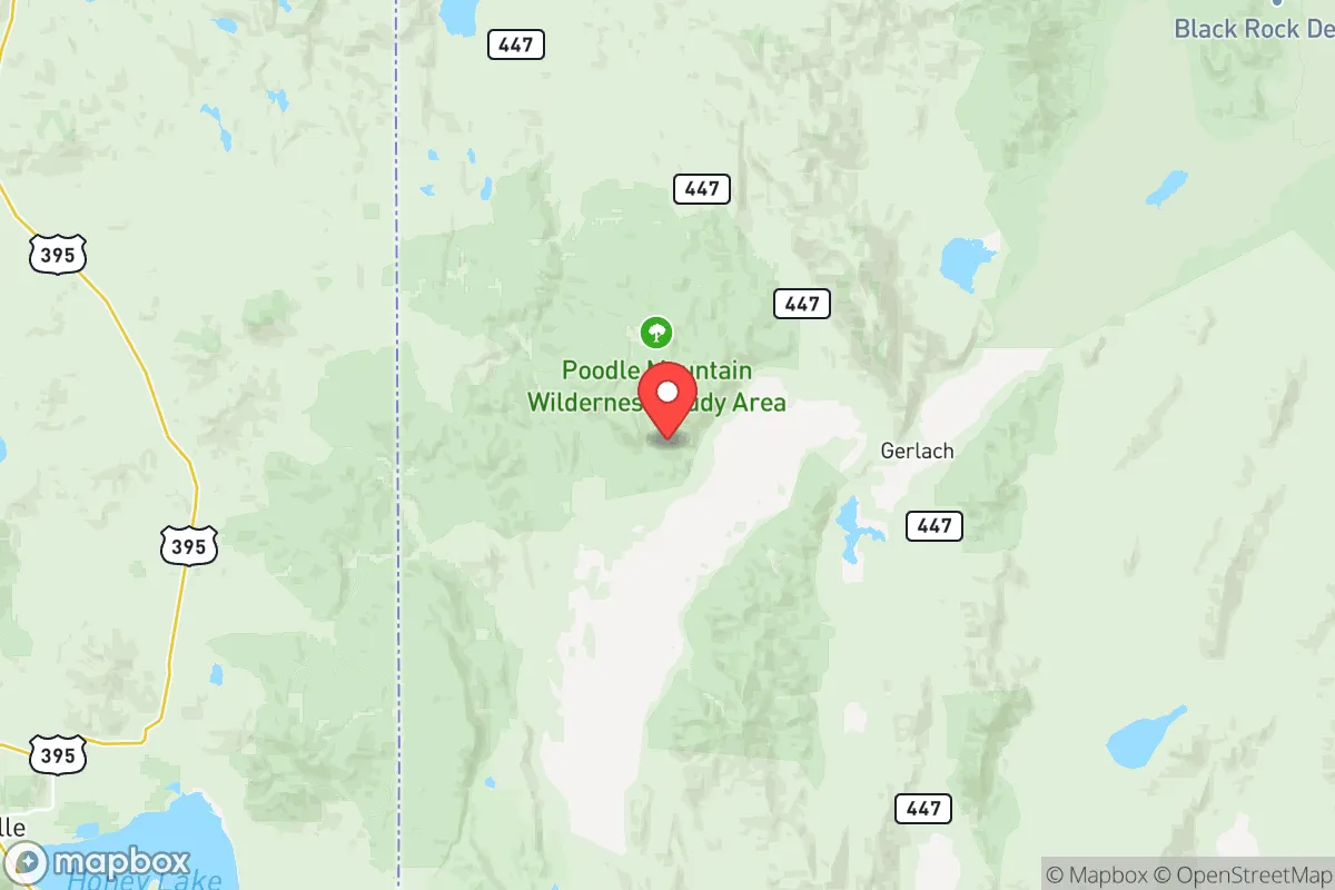
Washoe County’s geography is its strongest asset for resilience. The Sierra Nevada range to the west acts as a natural barrier, reducing the likelihood of seismic ground shaking from major California faults—Reno experiences only minor tremors compared to the Bay Area—and blocking much of the Pacific moisture, which keeps the region in a semi-arid climate with low humidity and minimal flood risk. The Truckee River, fed by Sierra snowmelt, provides a reliable surface water source through Reno and Sparks, while the county’s high desert terrain (elevation averaging 4,500 feet) offers natural defensibility: the surrounding hills and valleys create chokepoints that would slow any large-scale movement, whether from natural disaster or civil disruption. The proximity to Pyramid Lake (30 miles northeast) and the Carson River corridor adds additional water security, and the region’s low population density outside the Reno-Sparks metro—towns like Gerlach, Empire, and Wadsworth have fewer than 500 residents each—means that relocators can find rural parcels with significant buffer from urban centers. The county’s position along the I-80 corridor also provides a direct route to the Salt Lake City metro (520 miles east) and the Sacramento Valley (140 miles west), giving access to alternate supply hubs without relying on a single chokepoint.
Risks, exposures, and proximity to fallout-relevant landmarks
No location is without risk, and Washoe County has specific exposures that a strategic relocator must weigh. The most significant natural hazard is wildfire: the 2020 Loyalton Fire burned 47,000 acres in the county’s western edge, and the 2021 Caldor Fire came within 30 miles of the Reno suburbs, forcing evacuations and causing air quality alerts that lasted weeks. The wildland-urban interface (WUI) around Mount Rose, Verdi, and the Galena Creek area is particularly vulnerable, and homes in these zones require defensible space and fire-resistant construction. Seismic risk is moderate—the 2008 Wells earthquake (6.0 magnitude) was felt across the county, and the nearby Walker Lane fault zone could produce a 6.5-7.0 event—but this is far lower than California’s major fault lines. Man-made risks are more nuanced: the county hosts the Hawthorne Army Depot (70 miles southeast), a conventional munitions storage site, and the Nevada National Security Site (formerly the Nevada Test Site, 100 miles northwest), which has conducted underground nuclear tests as recently as 1992. While these are not active fallout sources, the historical contamination at the NNSS is a concern for long-term groundwater in the Amargosa Valley, though Washoe County’s water sources (Truckee River, Pyramid Lake, and local aquifers) are hydrologically separated. The Reno-Sparks metro itself is a target for any large-scale disruption—it’s the largest urban area in northern Nevada, with a population of 500,000—but the county’s rural areas, such as the communities of Red Rock, Patrick, and the Virginia City Highlands, offer significant standoff distance. The proximity to the Tahoe-Reno Industrial Center (30 miles east), which houses Tesla’s Gigafactory and other critical manufacturing, is a double-edged sword: it provides economic resilience but also makes the area a potential secondary target in a conflict scenario.
Practical resilience for a relocator: food, water, energy, and defensibility
For a family or individual serious about self-sufficiency, Washoe County offers a mixed but workable picture. Water security is the strongest pillar: the Truckee River flows year-round, and the county’s water rights system is well-regulated, with the Truckee Meadows Water Authority providing treated surface water to the metro area. Rural properties often rely on wells, and groundwater levels in the Carson Valley and Pyramid Lake basins are stable, though new well permits in some areas (like the Lemmon Valley) have faced restrictions due to drawdown concerns. Food production is viable but requires effort: the growing season is short (120-150 frost-free days) and the soil is alkaline, but high-altitude gardening techniques (raised beds, cold frames, drip irrigation) work well for crops like potatoes, beans, squash, and hardy greens. The county has a strong network of farmers’ markets and local ranches—the Smith Valley and Mason Valley (both within 60 miles) produce alfalfa, hay, and livestock—and the Nevada Department of Agriculture supports small-scale meat processing. Energy resilience is improving: the county’s solar potential is excellent (over 300 sunny days per year), and net metering policies allow grid-tied solar systems to offset costs, though off-grid setups require battery storage due to winter cloud cover. The local utility, NV Energy, has a mixed grid with natural gas, coal (from the North Valmy plant, 50 miles east), and increasing renewables, but the grid is vulnerable to wildfire-related shutoffs (Public Safety Power Shutoffs have occurred in high-risk zones). Defensibility is a key advantage: the county’s topography—valleys flanked by the Sierra Nevada and the Virginia Range—creates natural chokepoints at the Mt. Rose Highway, I-80 through the Truckee River canyon, and the Geiger Grade route to Virginia City. Rural properties in the Pah Rah Range or the Fox Range offer 360-degree visibility and limited access roads, making them hard to approach undetected. The county’s law enforcement presence is robust (Washoe County Sheriff’s Office has 600+ sworn deputies), and the Nevada National Guard’s 1st Squadron, 221st Cavalry is based in Reno, providing a rapid-response capability for civil emergencies.
The overall strategic picture for Washoe County is one of balanced resilience: it avoids the extreme risks of coastal California (seismic, tsunami, urban density) and the isolation of rural Nevada (limited water, long supply lines), while offering a defensible, resource-rich environment for a prepared relocator. The county’s biggest vulnerability is wildfire in the WUI, but this is manageable with proper site selection and construction. Its proximity to the Tahoe-Reno Industrial Center and I-80 corridor provides economic stability without the vulnerability of a single-industry town. For a conservative-leaning family or individual who values self-sufficiency, community ties, and a low-tax environment (Nevada has no state income tax), Washoe County represents a strong option—provided they choose a location with defensible space, a reliable well, and a plan for wildfire season. The key is to avoid the high-risk WUI zones and focus on the rural valleys and mountain benches that offer both security and access to the region’s resources.

* Values derived from national, state, county, city and local statistics and may differ in a specific area. Last updated: 2026-07-17T10:01:36.000Z
Narrative content on this page is AI-generated and may contain mistakes. Verify any details that matter before acting on them.
ReloMaps may earn a commission from affiliate links at no extra cost to you.

