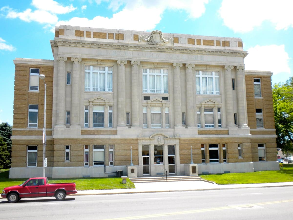
Photo: Wikipedia
Strategic Assessment of Lincoln County
Strong survivability profile. Good buffer from population centers, with manageable environmental and tactical risks.
What does the Strategic Assessment tell us?
Our Strategic Assessment grades tactical survivability of an area. Major population centers, military targets, fallout zones, natural disasters, and border exposure all drive risk — lower exposure means a more defensible position in a crisis.
This is heavily inspired by Joel Skousen's Strategic Relocation book. Highly recommended you checkout the book ($)What does this tell us?
Our Strategic Assessment grades tactical survivability of an area. Major population centers, military targets, fallout zones, natural disasters, and border exposure all drive risk — lower exposure means a more defensible position in a crisis.
This is heavily inspired by Joel Skousen's Strategic Relocation book. Highly recommended you checkout the book ($)Strategic Pillars

Key Distances
Strategic Assessment Analysis
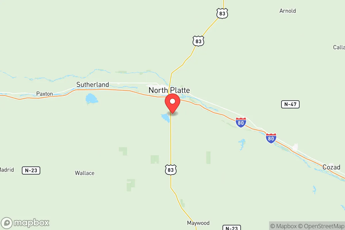
Lincoln County, Nebraska, occupies a strategic middle-ground that appeals to relocation-minded readers who value both access and isolation. Centered on the city of North Platte, the county sits at the junction of Interstates 80 and 76, placing it roughly 3.5 hours from Denver and 4 hours from Omaha—far enough to avoid metropolitan chokepoints, close enough for supply runs or medical evacuations. The area’s resilience profile is shaped by its position on the High Plains, its distance from major industrial targets, and a local economy rooted in agriculture, transportation, and the Union Pacific Railroad’s massive Bailey Yard, the world’s largest rail classification yard. For a relocator weighing disaster readiness and self-sufficiency, Lincoln County offers a mix of genuine geographic advantages and specific vulnerabilities worth understanding before making a move.
Geographic position and natural advantages for long-term stability
Lincoln County sits in west-central Nebraska, where the Platte River valley meets the semi-arid High Plains. The terrain is mostly flat to gently rolling, with the South Platte and North Platte rivers converging just east of North Platte to form the Platte River proper. This river system provides a reliable surface water source, a critical asset for any resilience-minded household. The county’s elevation ranges from roughly 2,600 to 3,500 feet, placing it above the tornado-prone “Dixie Alley” to the southeast, though still within the broader Great Plains severe weather zone. Winters are cold and dry, summers hot and occasionally stormy, but the region avoids the worst of hurricane, earthquake, and wildfire risks that plague coastal and mountainous areas. The local water table is generally good, with the Ogallala Aquifer underlying much of the county, though depths vary and well yields should be verified property by property. For a relocator, the key takeaway is that Lincoln County sits in a low-population-density corridor with ample agricultural land, decent water access, and no major fault lines or floodplain liabilities—provided you avoid the immediate river bottoms.
Risks, exposures, and proximity to fallout-relevant landmarks
The most significant risk for Lincoln County is not natural disaster but man-made disruption tied to its transportation infrastructure. Bailey Yard in North Platte is a Class I rail hub handling over 10,000 rail cars daily, making it a potential target for sabotage or a secondary effect zone if hazardous materials are involved. The yard primarily handles freight—grain, coal, intermodal containers, and chemicals—so a derailment or intentional release could affect air quality and require evacuation of nearby neighborhoods. Additionally, the county is bisected by Interstate 80, a major transcontinental artery, and hosts a segment of the Keystone Pipeline system, which passes through the area. While no nuclear power plants or major military bases sit within Lincoln County, the U.S. Strategic Command (STRATCOM) at Offutt Air Force Base near Omaha is roughly 250 miles east—close enough that a worst-case scenario involving that facility could produce fallout patterns affecting eastern Nebraska, but Lincoln County’s western position offers meaningful distance. The county’s primary exposure is economic: a disruption to rail or pipeline operations would ripple through the local job market. For the relocator, the practical risk is low compared to living near a refinery, port, or major military installation, but the presence of Bailey Yard means North Platte itself is not a zero-risk location. Rural properties 15–30 miles outside town significantly reduce exposure.
Practical resilience for a relocator: food, water, energy, and defensibility
Lincoln County’s agricultural base gives it a genuine food-security advantage. The surrounding area produces corn, soybeans, wheat, and alfalfa, with cattle ranching common on the rangeland to the north and south. Local farmers’ markets, co-ops, and direct-from-ranch meat sales are accessible in North Platte, and the county’s agricultural extension office offers resources for home gardening and small-scale livestock. Water access is generally good: municipal supplies in North Platte come from the Platte River alluvium, while rural properties typically rely on private wells tapping the Ogallala Aquifer. Well depths vary from 50 to over 200 feet depending on location, so pre-purchase water testing and yield verification are essential. Energy infrastructure is mixed. The county is served by Nebraska Public Power District, which draws from a mix of coal, natural gas, and renewables; the Gerald Gentleman Station, a large coal-fired plant, is located in nearby Sutherland, about 20 miles west of North Platte, providing local grid stability. However, Nebraska’s electric grid is part of the Southwest Power Pool, which has faced winter reliability challenges. For defensibility, the county’s low population density—roughly 9 people per square mile outside North Platte—means ample buffer between neighbors. Rural properties with good sightlines, multiple access routes, and defensible perimeters are available at prices well below national averages. The trade-off is distance from specialized medical care: the nearest Level I trauma center is in Omaha, 4 hours east, so self-sufficiency in first aid and emergency planning is non-negotiable.
Overall, Lincoln County presents a balanced strategic picture for the relocator who values resilience without extreme isolation. Its geographic position offers distance from coastal and metropolitan target zones, reliable water from the Platte River system and Ogallala Aquifer, and a local food economy that can support a self-sufficient household. The primary liabilities are the transportation infrastructure around North Platte—Bailey Yard and I-80—and the region’s exposure to Plains winter storms and occasional drought. For a family or individual willing to live 20–30 minutes outside town, invest in a well and backup power, and build community with neighbors who share a preparedness mindset, Lincoln County is one of the more defensible and resource-secure areas in the central United States. It is not a bug-out location for the apocalyptic-minded, but a functional, livable county where resilience is achievable with reasonable effort and planning.

* Values derived from national, state, county, city and local statistics and may differ in a specific area. Last updated: 2026-06-23T19:58:20.000Z
Narrative content on this page is AI-generated and may contain mistakes. Verify any details that matter before acting on them.
ReloMaps may earn a commission from affiliate links at no extra cost to you.

