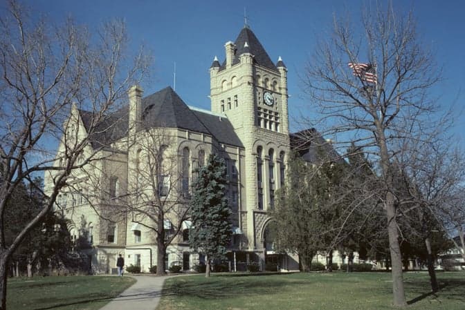
Photo: Wikipedia
Strategic Assessment of Gage County
Strong survivability profile. Good buffer from population centers, with manageable environmental and tactical risks.
What does the Strategic Assessment tell us?
Our Strategic Assessment grades tactical survivability of an area. Major population centers, military targets, fallout zones, natural disasters, and border exposure all drive risk — lower exposure means a more defensible position in a crisis.
This is heavily inspired by Joel Skousen's Strategic Relocation book. Highly recommended you checkout the book ($)What does this tell us?
Our Strategic Assessment grades tactical survivability of an area. Major population centers, military targets, fallout zones, natural disasters, and border exposure all drive risk — lower exposure means a more defensible position in a crisis.
This is heavily inspired by Joel Skousen's Strategic Relocation book. Highly recommended you checkout the book ($)Strategic Pillars

Key Distances
Strategic Assessment Analysis
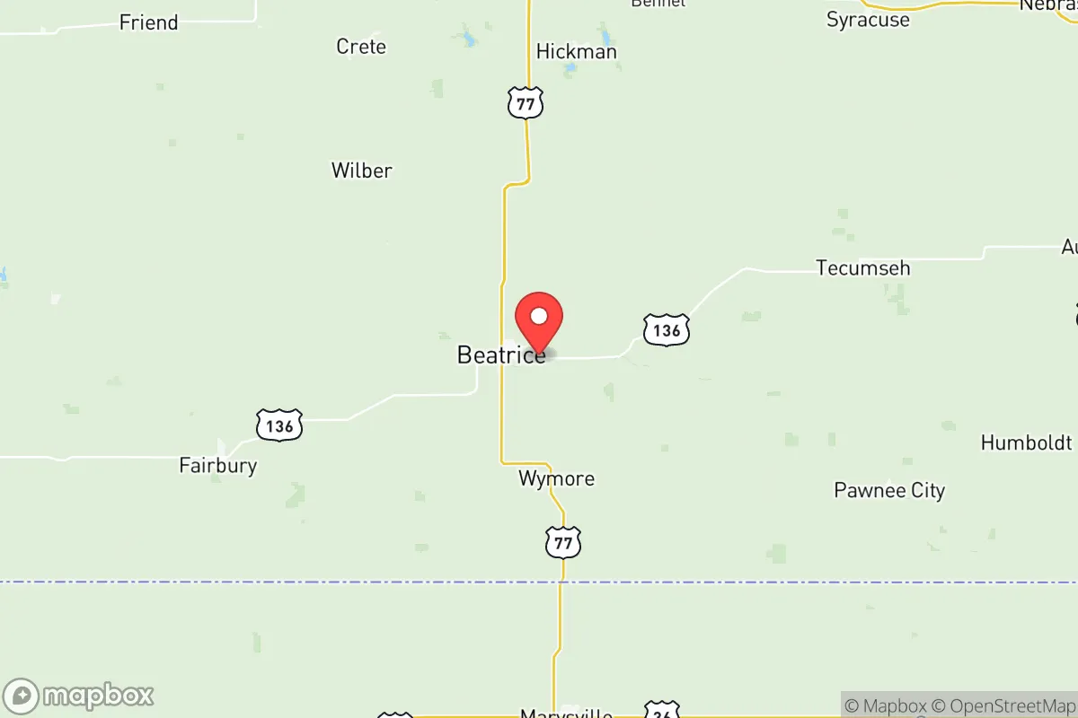
Gage County, Nebraska, offers a strategic balance of isolation and accessibility that appeals to relocation-minded individuals and families prioritizing resilience and self-sufficiency. Anchored by the county seat of Beatrice, the area sits roughly 40 miles south of Lincoln and 100 miles from Omaha, placing it far enough from major metropolitan centers to avoid their primary risks—dense population, concentrated infrastructure, and potential fallout targets—while remaining within a practical driving distance for supplies, medical care, or employment. The county’s agricultural foundation, low population density (roughly 21,000 residents across 860 square miles), and position in the southeastern Nebraska plains create a baseline of stability that is increasingly rare in the continental United States.
Geographic position and natural advantages for long-term stability
Gage County’s location in the Big Blue River valley provides a natural advantage for water access and fertile soil, both critical for sustained self-sufficiency. The Big Blue River runs through the county, with the city of Beatrice drawing its municipal water from wells along the river and the nearby Wymore Reservoir. This surface and groundwater availability is a significant asset compared to drier regions of the Great Plains. The county sits on the eastern edge of the Nebraska Rainwater Basin, a region of shallow groundwater and seasonal wetlands that historically supported bison and now supports row crops like corn and soybeans. For a relocator, this means the land is inherently productive—not marginal. The terrain is gently rolling to flat, with no major floodplains outside the immediate river corridors, reducing the risk of catastrophic flooding. The nearest major military installation is Offutt Air Force Base near Omaha, roughly 90 miles north, which is a potential target in a conflict scenario but far enough to avoid direct blast or fallout effects in Gage County. The county’s position also places it outside the primary tornado alley corridor that runs through central Oklahoma and Kansas, though severe weather is still a seasonal concern. The nearest interstate highway is I-80, running through Lincoln, but Gage County is served by U.S. Highway 77 and Nebraska Highway 4, providing redundant ground routes without the choke-point vulnerability of a major interstate.
Risks, exposures, and proximity to fallout-relevant landmarks
While Gage County is not a high-risk zone, it is not immune to man-made or natural threats. The most significant fallout-relevant landmark within 100 miles is the Lincoln Airport, which hosts the Nebraska Air National Guard’s 155th Air Refueling Wing and is a potential target in a major conflict. The city of Lincoln itself, with a population of 290,000 and the state capitol, is a secondary target. Beatrice’s proximity—40 miles south—means that prevailing winds from the north (common in winter) could carry fallout from a Lincoln strike into the county. The county also contains the Beatrice 6 Superfund site, a former pesticide disposal area that was remediated in the 1990s but still carries a stigma for groundwater contamination; current testing shows no ongoing risk, but it’s a historical data point. On the natural disaster front, the county is in a moderate risk zone for tornadoes (EF2-EF3 historically), with the most recent significant event being an EF2 tornado near Beatrice in 2014. Flooding along the Big Blue River is a periodic concern, particularly in the spring, but the county’s floodplain management has kept damage localized. The nearest nuclear power plant is the Cooper Nuclear Station in Brownville, Nebraska, roughly 50 miles southeast along the Missouri River. While Cooper is a boiling water reactor with a solid safety record, a worst-case release would place Gage County downwind under prevailing southerly summer winds. For a relocator, these risks are manageable with basic preparedness—unlike the concentrated threats near Houston’s refinery corridor or Fort Hood, which are non-factors here.
Practical resilience for a relocator: food, water, energy, and defensibility
Gage County’s practical resilience is strong, particularly for those willing to invest in off-grid or semi-off-grid systems. The county is overwhelmingly agricultural, with over 90% of land in farms and ranches. This means local food production is abundant: corn, soybeans, and livestock (primarily cattle and hogs) dominate, but there is a growing network of small-scale vegetable farms and farmers’ markets in Beatrice and the smaller towns of Blue Springs, Odell, and Pickrell. For a family looking to grow their own food, the growing season averages 160 days, with fertile loam soils that require minimal amendment. Water access is the standout advantage: the Big Blue River and its tributaries (including the Little Blue River in the county’s western portion) provide surface water, while the underlying Ogallala Aquifer’s eastern edge offers groundwater at depths of 50–150 feet. A private well is a realistic and affordable option for most rural properties. Energy resilience is moderate. The county is served by the Nebraska Public Power District, which draws from a mix of coal, natural gas, and nuclear (Cooper Station). Grid reliability is above average for rural Nebraska, with few outages. Solar potential is decent—the county receives about 4.5 peak sun hours per day—but wind is the stronger renewable resource, with average speeds of 12–14 mph, suitable for small-scale turbines. Defensibility is a mixed bag. The county’s low population density and dispersed settlement pattern make it hard to control or target, but also mean that law enforcement coverage is thin. The Beatrice Police Department and Gage County Sheriff’s Office are professional but small—roughly 30 sworn officers total for the county. For a relocator, this means self-defense and community cooperation are essential. The terrain offers no natural defensive chokepoints, but the open farmland provides long sightlines, and the county’s network of gravel roads offers multiple escape routes. The nearest major medical facility is Beatrice Community Hospital, a 25-bed critical access hospital with a Level IV trauma center; for serious care, residents drive to Lincoln’s Bryan Health or CHI Health St. Elizabeth.
Overall, Gage County presents a solid strategic option for a relocator focused on resilience, self-sufficiency, and a lower-risk profile. It avoids the high-concentration threats of coastal cities, major military bases, and industrial corridors, while offering abundant water, productive land, and a community that is historically self-reliant. The trade-offs are real: limited medical infrastructure, a cold winter climate (average January lows around 14°F), and the need to build local connections for mutual aid. But for a family or individual willing to put in the work, Gage County provides a foundation that is both defensible and sustainable—a rare combination in the modern United States. The county’s motto, “Where the Good Life Begins,” undersells its practical value; it’s more accurately a place where a prepared relocator can build a genuinely resilient life without the paranoia of a bunker mentality.

* Values derived from national, state, county, city and local statistics and may differ in a specific area. Last updated: 2026-07-19T04:04:33.000Z
Narrative content on this page is AI-generated and may contain mistakes. Verify any details that matter before acting on them.
ReloMaps may earn a commission from affiliate links at no extra cost to you.

